スラスクロス貯水池のおすすめウォーキング&ハイキングルート
4.5
(2207)
20,093
ハイカー
10
ハイキング
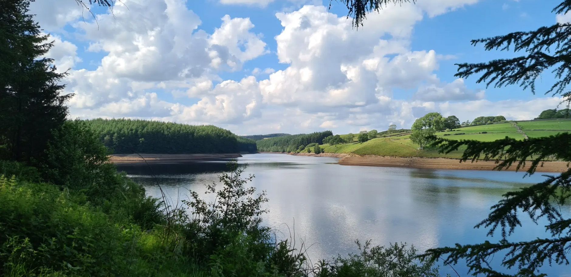
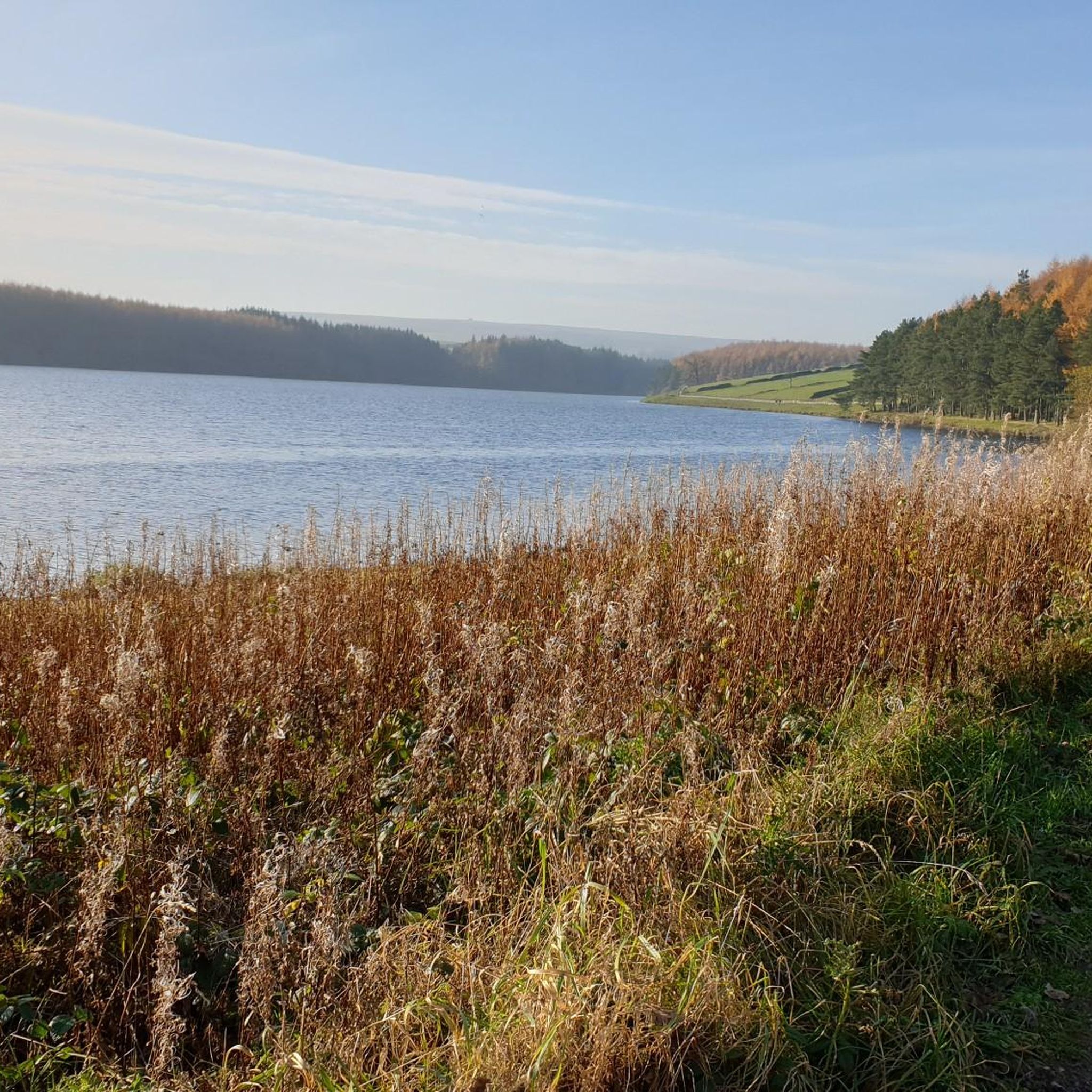
スラスクロス貯水池周辺でおすすめのハイキングやウォーキングをお探しですか?スラスクロス貯水池が誇るこの美しい湖周辺のルートを集めたkomootコレクションを参考にしてください。 ここでは、スラスクロス貯水池周辺の人気ハイキングコースを紹介しています。魅力的なルートが見つかったら、さっそく冒険に出かけましょう。
最終更新日: 10月 10, 2026
4.5
(22)
180
ハイカー
7.54km
02:00
70m
70m
Embark on the Thruscross Reservoir and Cloggers Lane loop, an easy hike that takes you around the tranquil waters of Thruscross Reservoir. This circular route spans 4.7 miles (7.5 km)…
4.7
(9)
40
ハイカー
21.4km
05:53
360m
360m
Embark on a challenging yet rewarding hike through the varied landscapes of Nidderdale with the Simon's Seat and Rocking Hall loop. This difficult 13.3-mile (21.4 km) route, featuring an elevation…

5.0
(6)
67
ハイカー
14.0km
03:46
180m
180m
中程度のハイキング. ある程度のフィットネスレベルが必要です。 進みやすいルートです。あらゆるスキルレベルに適しています。
4.2
(5)
29
ハイカー
5.59km
01:32
90m
90m
初級者向けハイキング. あらゆるフィットネスレベルに適しています。 進みやすいルートです。あらゆるスキルレベルに適しています。
2.0
(1)
14
ハイカー
4.09km
01:04
20m
20m
初級者向けハイキング. あらゆるフィットネスレベルに適しています。 進みやすいルートです。あらゆるスキルレベルに適しています。
さらに多くのルートや他のユーザーのおすすめ情報を確認できます。
すでにアカウントをお持ちですか?
おすすめのツアーは他のkomootユーザーが実際に経験した何千ものアクティビティに基づいています。
無料アカウントで今日から始めよう
次の冒険が待っています。

コミュニティからのヒント


Great views of the moorland to the north, and fairly easy tracks traverse this area on the route around Thruscross Reservoir.
1
0
Imposing and deserted building overlooking the northern end of Thruscross Reservoir. Recorded by the Yorkshire Vernacular Buildings Group in 1976: "The 1841 census return shows it to have been occupied by a young unmarried woman called Ann Young farming over 200 acres; a family with the same surname contemporaneously occupied Whit Moor Farm with a similar acreage."
1
0
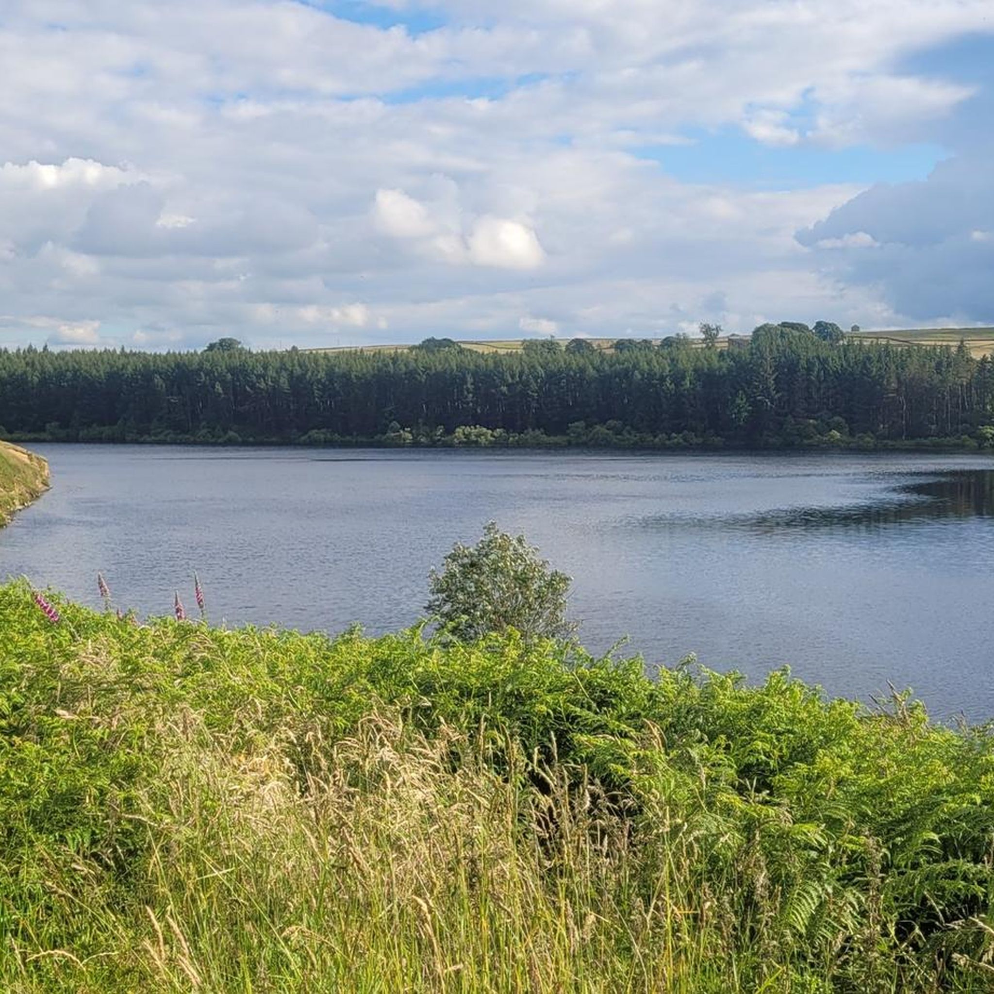
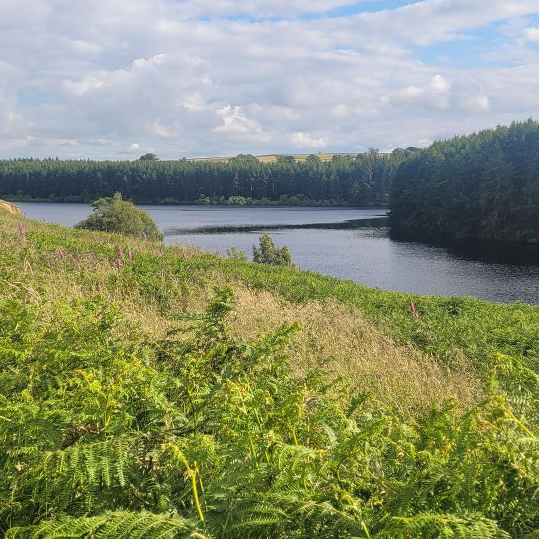
Undoubtedly the most scenic of the Washburn reservoirs with the moorland backdrop to the north. The circular route around the reservoir from the car park is about 5 miles, the track on the southwestern side runs along the edge of plantations and offers some shade from the sun and shelter from the elements. The track on the northeastern side is more exposed, and if you do the whole circuit you will cross over Far Comb Hill and the plantation along the edge of the reservoir at Whit Moor - a great route.
0
0
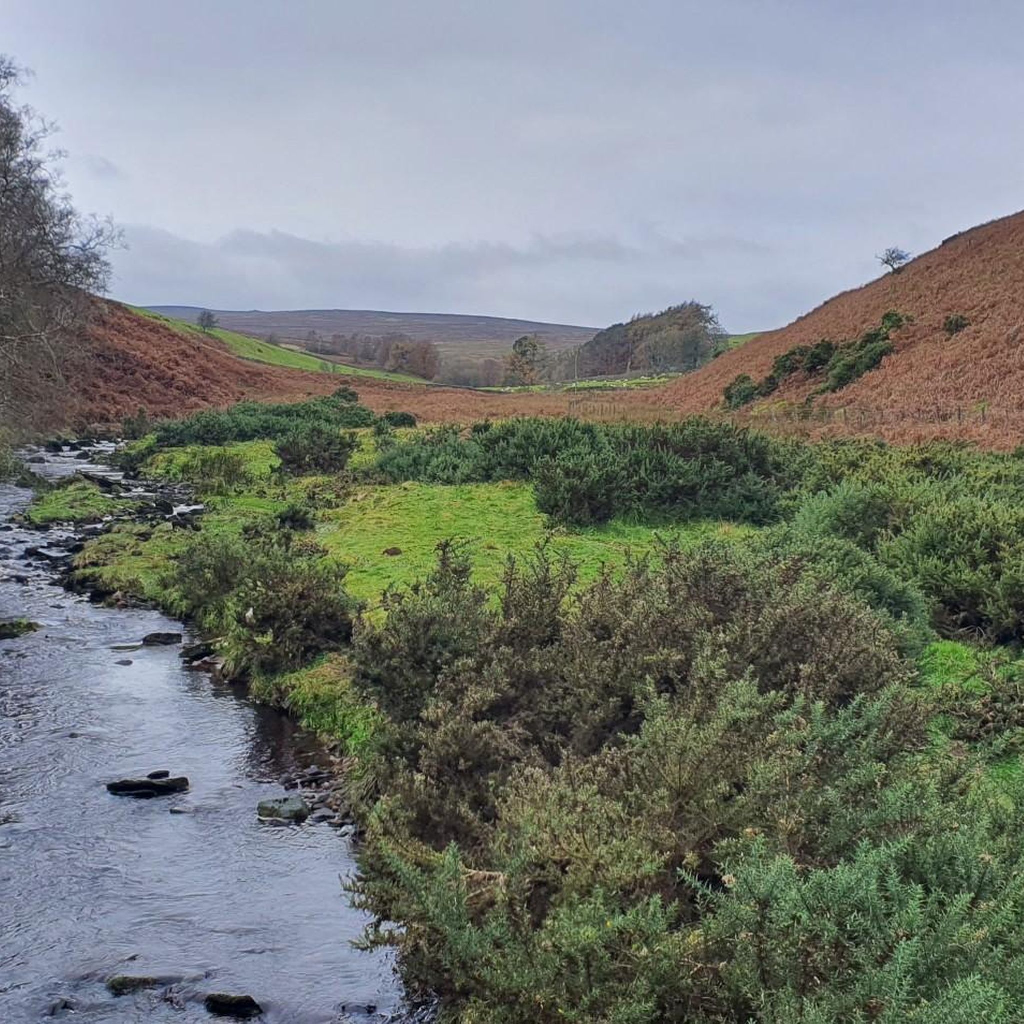
Cracking location from which to explore. Reasonably well-sized car park at Blubberhouses. Head south to walk around Fewston and Swinsty Reservoirs along very easy and well-maintained tracks, or even better, head north up the River Washburn for a serene woodland walk along the babbling river's edge, to eventually pop out at the very imposing face of Thruscross Reservoir dam.
0
0
Delightful walk along the River Washburn between Thruscross Reservoir and Blubberhouses. Easy track to follow along the river's edge, in parts it is a wide gravel track with very easy going, although it does eventually become more of a rabbit-path, narrow in places and riddled with tree routes.
1
0
Fair sized and well-maintained car park with space for at least 30-40+ vehicles. Few picnic tables at the south-eastern end of the car park. There is also space for a few cars if you park off-road next to Thruscross Reservoir Lodge, on Reservoir Road on the eastern side of the dam, but these spots tend to fill up quickly.
1
0
If you are enthusiastic enough to walk around all three reservoirs (Thruscross, Fewston, and Swinsty), clocking in at 15 miles, then you will see that Thruscross has the most spectacular dam of the three. If you follow the track from the car park at the western end of the dam, to the south towards the River Washburn, a track that descends quite steeply, then you will be rewarded with imposing views of the face of the dam.
1
0
スラスクロス貯水池でのの人気観光スポット

komootモバイルアプリでインスピレーションを得よう


さらに探索
他の地域の最高のハイキングを見てみましょう。
