ハロゲートのおすすめウォーキング&ハイキングルート
4.5
(5343)
46,628
ハイカー
1,063
ハイキング
ハロゲートでのハイキングに出かけて、ノースヨークシャーのこのエリアを探索してみませんか?このガイドでご紹介するのは、komootがハロゲートでのハイキング・ウォーキングルートのコレクション全体を評価して選び抜いた、このエリアの人気ハイキングルートです。あなたに合った でのハイキングを見つけるには、他のユーザーがアップロードした役立つ情報や写真を閲覧し、各ルートに関するみんなの意見やコメントを参考にしましょう。
最終更新日: 11月 6, 2026
4.7
(95)
864
ハイカー
10.9km
02:51
80m
80m
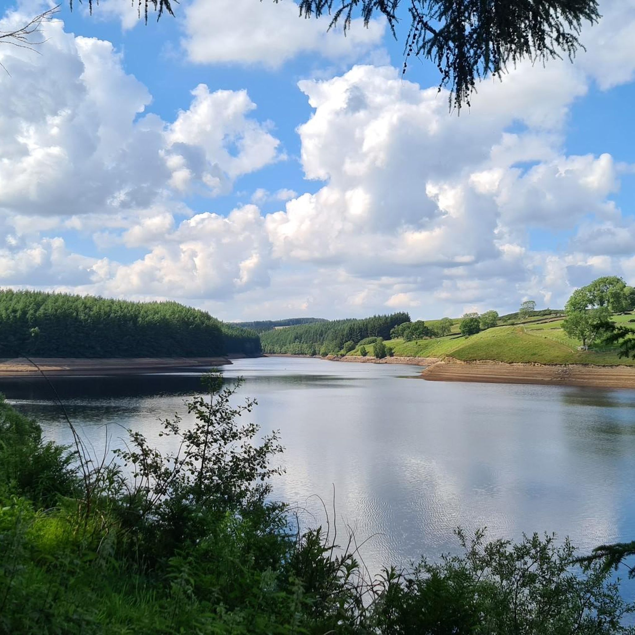
Embark on a moderate hike around the tranquil waters of Fewston and Swinsty Reservoirs, a 6.8-mile (10.9 km) route that offers continuous waterside views. You will gain 247 feet (75…
4.8
(136)
608
ハイカー
13.5km
03:46
260m
260m
Embark on a moderate 8.4-mile (13.5 km) hike through the scenic Nidderdale Area of Outstanding Natural Beauty, a journey that typically takes around 3 hours and 45 minutes. You will…

4.6
(39)
246
ハイカー
7.65km
02:09
150m
160m
Embark on The Druid's Temple & Sole Beck loop from High Knowle, a moderate hike that takes you through the varied landscapes of the Swinton Estate. This 4.8-mile (7.7 km)…
4.5
(23)
172
ハイカー
7.54km
02:00
70m
70m
Embark on the Thruscross Reservoir and Cloggers Lane loop, an easy hike that takes you around the tranquil waters of Thruscross Reservoir. This circular route spans 4.7 miles (7.5 km)…
4.8
(26)
152
ハイカー
9.06km
02:26
110m
110m
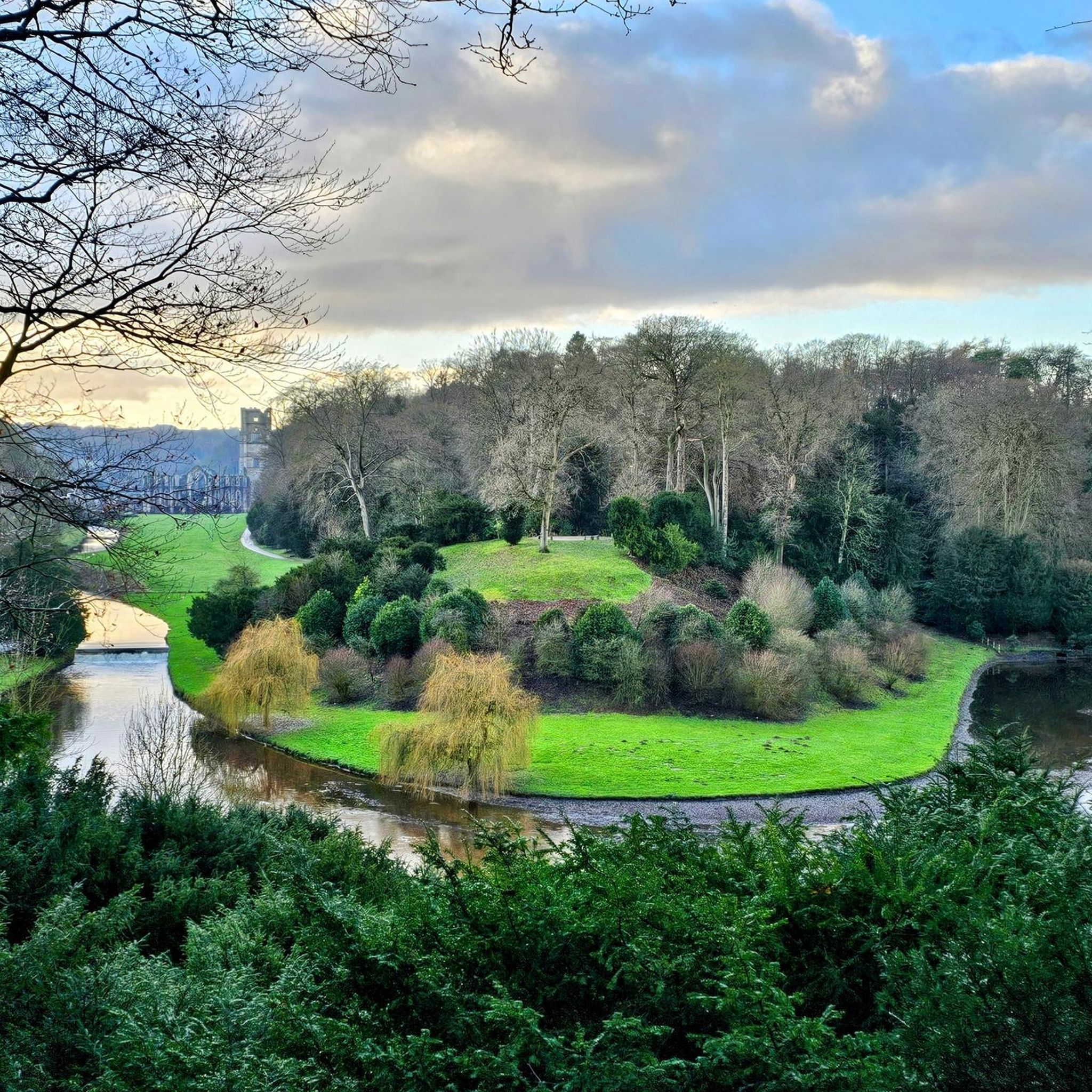
Embark on a moderate 5.6-mile (9.1 km) hike through the Fountains Abbey & Studley Royal Park, a UNESCO World Heritage Site. This loop takes approximately 2 hours and 26 minutes…
4.6
(18)
147
ハイカー
5.89km
01:31
30m
30m
Embark on an easy hike along The River Ure & Aldborough loop from Boroughbridge, a gentle 3.7-mile (5.9 km) route with minimal elevation gain of just 98 feet (30 metres).…
3.9
(10)
47
ハイカー
6.43km
01:45
90m
90m
Embark on the Brimham Rocks Boundary Walk, an easy hiking route that guides you through a landscape shaped by ancient forces. This 4.0-mile (6.4 km) loop features remarkable Millstone Grit…
4.6
(12)
109
ハイカー
17.2km
05:10
510m
510m
Embark on a difficult 10.7-mile (17.2 km) hiking loop from Lofthouse that takes you through the dramatic landscapes of Nidderdale, featuring a significant 1662 feet (507 metres) of elevation gain.…
4.7
(12)
59
ハイカー
2.98km
00:51
70m
70m
The Aislabie Walk offers an easy hiking experience through varied scenery, perfect for a quick outing. You will cover 1.9 miles (3.0 km) with a gentle elevation gain of 230…
4.9
(8)
71
ハイカー
10.5km
02:46
90m
90m
Embark on the Scar House & Angram Reservoirs loop, a moderate hike spanning 6.5 miles (10.5 km) with a gentle elevation gain of 291 feet (89 metres). You can expect…
さらに多くのルートや他のユーザーのおすすめ情報を確認できます。
すでにアカウントをお持ちですか?
おすすめのツアーは他のkomootユーザーが実際に経験した何千ものアクティビティに基づいています。




コミュニティからのヒント


A hidden gem and interesting story behind the construction of the Temple. Beautiful views and an interesting undulating walk through stunning countryside.
0
0

Quintessentially pretty market town, arrive early to find suitable parking, best place is next to the showground on the southern side of the bridge over the River Nidd. Honesty box only (no payment cards), cheap at £1 up to 4 hours and £2 all day (spring 2025 prices). The southern end of Nidderdale around Pateley Bridge has one of the densest concentrations of public footpaths in North Yorkshire, so loads of routeing options. See the North Yorks public rights of way map at https://maps.northyorks.gov.uk/connect/analyst/mobile/#/main?mapcfg=Out_and_About
1
0
If you can stomach getting up very early for hikes and runs, then you will have the place to yourself. Absolutely stunning at around 6-7am in the early morning May sunshine.
1
0
Undoubtedly the most scenic of the Washburn reservoirs with the moorland backdrop to the north. The circular route around the reservoir from the car park is about 5 miles, the track on the southwestern side runs along the edge of plantations and offers some shade from the sun and shelter from the elements. The track on the northeastern side is more exposed, and if you do the whole circuit you will cross over Far Comb Hill and the plantation along the edge of the reservoir at Whit Moor - a great route.
0
0
Small bridge at the southern end of the dam allows you to peer over and see the overflow for Fewston Reservoir and the sloping masonry weirs that channel overflow down into Swinsty Reservoir. Great views of both reservoirs northwest to Fewston and southeast to Swinsty.
1
0
Easy to access and walk along the water's edge, levels quite low in spring of 2025 (see photos).
1
0
The track along this part of the reservoir is very good quality and clearly well-trodden: wide and flat, and provides welcome shade when the sun is scorching.
1
0

komootモバイルアプリでインスピレーションを得よう


探していたものは見つかりませんでしたか?
ハロゲートの下にある他のハイキングをチェックして、目的地で完璧なルートを見つけましょう。
