The best walks and hikes around Fara Gera D'Adda
4.4
(411)
2,774
hikers
18
hikes
Hiking around Fara Gera D'Adda offers diverse landscapes in the Province of Bergamo, Lombardy. The region is characterized by the Adda River and the Naviglio Martesana canal, which provide serene environments for outdoor activities. Green forests and accessible paths contribute to the area's natural appeal, with trails catering to various fitness levels.
Best hiking trails in Fara Gera D'Adda
- The most popular hiking route is Roggia Vailata – Vaprio d'Adda Bridge loop from Fara Gera d'Adda, a 5.9 miles…
Last updated: May 20, 2026
4.6
(22)
80
hikers
Moderate hike. Good fitness required. Easily-accessible paths. Suitable for all skill levels.
4.8
(9)
25
hikers
Moderate hike. Good fitness required. Easily-accessible paths. Suitable for all skill levels.

Sign up for free
4.0
(2)
15
hikers
15.9km
04:05
70m
70m
Moderate hike. Good fitness required. Easily-accessible paths. Suitable for all skill levels.
3.0
(1)
12
hikers
7.03km
01:47
20m
20m
Easy hike. Great for any fitness level. Easily-accessible paths. Suitable for all skill levels.
7
hikers
Moderate hike. Good fitness required. Mostly accessible paths. Sure-footedness required.
Get access to more routes and recommendations from other explorers.
Sign up for free
Already have an account?
Our route recommendations are based on thousands of hikes, rides, and runs completed by other people on komoot.
Start today with a free account
Your next adventure awaits.
Login or Signup

Tips from the Community

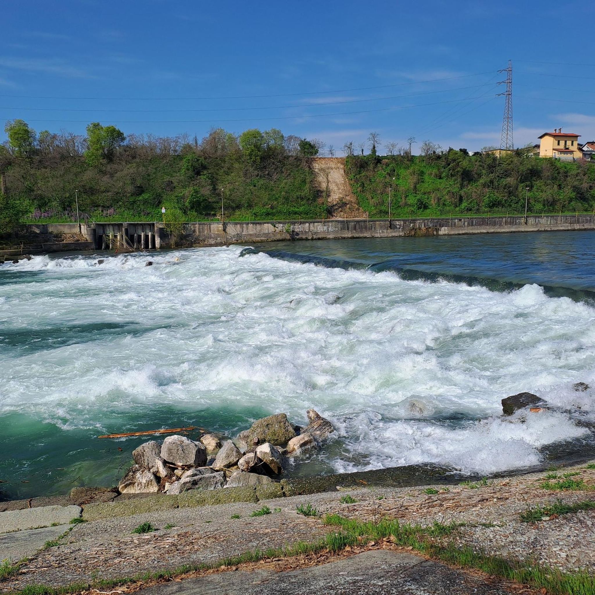
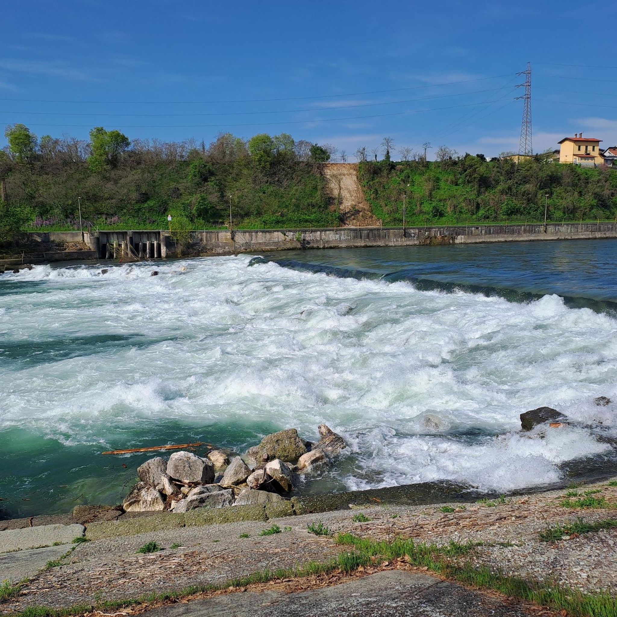
Located on the left bank of the Adda river, the municipality of Canonica d’Adda stands. Its history, intertwined with the ancient Pons Aureoli, tells us of a famous battle. It was right here in the 3rd century AD that two emperors clashed: Gallienus challenged and killed Mario Acilio Aureolo, who was buried nearby. Near the tomb, a road and a village sprang up. In this place arose the parish church of San Giovanni Evangelista, none other than one of the oldest in Lombardy. It was the importance this canonry assumed over time that gave the settlement its name. Walking along the botanical path or along the bridge, it is difficult not to be captivated by the beauty of the Adda river landscape, which offers us natural views of great charm. It is no coincidence that its beauty enchanted the great Leonardo da Vinci, who was a guest of the Melzi family in the very nearby municipality of Vaprio d’Adda in the early 1500s.
0
0

The imposing water wheel (about eleven meters in diameter) was built in the early 17th century by Cardinal Federico Borromeo to lift water from the canal and convey it to the nearby Archbishop's Palace. A washhouse can be seen near the wheel.
1
0

Beautiful walkway; you can push your bike and enjoy a truly breathtaking view of the Adda River. It's very busy on Sundays.
0
0

Better during the week, Saturday and Sunday full of tourists
0
0
In the center of town, on the right bank of the Martesana Canal, stands an imposing waterwheel (popularly known as a rudun) said to have been designed by Leonardo da Vinci himself. Despite appearances, the wheel is not a mill, but a noria. Its function, in fact, was never to grind grain or power machinery, but rather to lift water from the canal to channel it into an irrigation system.
0
0

We are in Groppello, a hamlet in the municipality of Cassano d'Adda, and we must go back in time to 1618, when Cardinal Federico Borromeo commissioned this large wheel to convey the water needed to irrigate the vegetable gardens and gardens of the Archbishop's Villa. It is said that this majestic work, at the Cardinal's request, was designed by Leonardo da Vinci himself. Which, if anything, adds to its charm.
1
0

Very nice. Must be done strictly on foot.
0
0

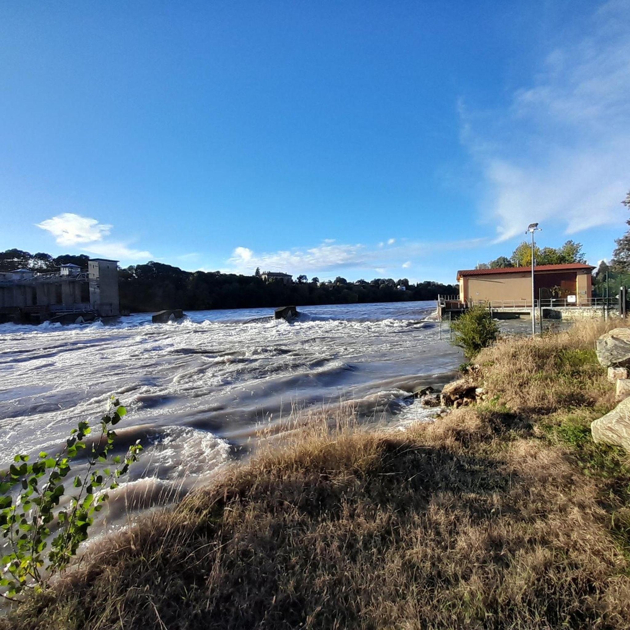
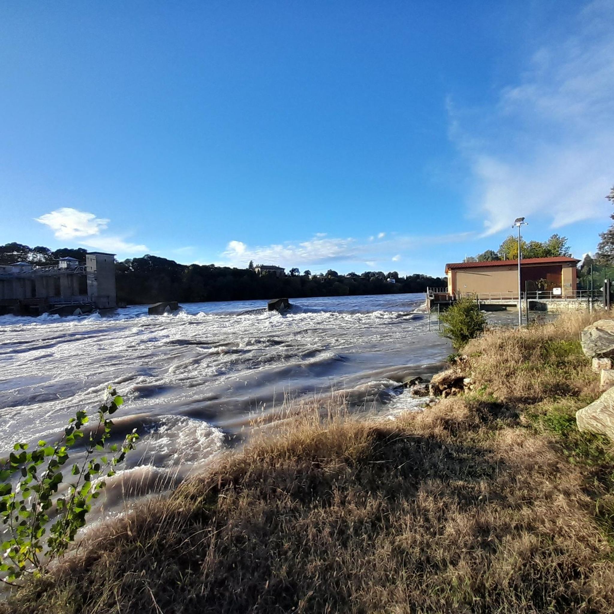
Scenic walkway over the Adda River
0
0
Frequently Asked Questions
How many hiking trails are available in Fara Gera D'Adda?
There are approximately 19 hiking routes in Fara Gera D'Adda, offering a variety of experiences for different skill levels. You'll find options ranging from easy strolls to more moderate treks.
What types of landscapes can I expect to see while hiking in Fara Gera D'Adda?
Hiking in Fara Gera D'Adda is characterized by the serene presence of the Adda River and the historic Naviglio Martesana canal. The routes often lead through green forests and along easily-accessible paths, providing picturesque scenery typical of the Lombardy region.
Are there any easy hiking trails suitable for beginners or families?
Yes, Fara Gera D'Adda offers several easy trails perfect for beginners or families. For instance, the Roggia Vailata loop from Fara Gera d'Adda is a 4.4-mile (7.0 km) route that leads through waterways and green areas, typically completed in under two hours.
What do other hikers enjoy most about the trails in Fara Gera D'Adda?
The trails in Fara Gera D'Adda are highly rated by the komoot community, with an average score of 4.3 stars from over 300 reviews. Hikers often praise the tranquil environment along the Adda River and Naviglio Martesana, as well as the well-maintained paths that make for enjoyable walks.
Are there any circular walks in the area?
Yes, many of the hiking routes in Fara Gera D'Adda are circular, allowing you to start and end at the same point. Examples include the Roggia Vailata – Vaprio d'Adda Bridge loop and the Groppello d'Adda – Senator Borletti After-Work Club loop.
Can I bring my dog on the hiking trails in Fara Gera D'Adda?
Generally, trails along the Adda River and Naviglio Martesana canal are suitable for dogs, provided they are kept on a leash and you clean up after them. Always check local signage for any specific restrictions in certain areas.
What interesting landmarks or attractions can I see along the trails?
While hiking, you can explore several notable attractions. The Martesana Canal itself is a significant feature, and you might encounter the historic Rudun Water Wheel in Groppello d'Adda, a large waterwheel with a rich history. Some routes also pass by historical sites like the Taccani Hydroelectric Power Plant and Trezzo Castle Tower.
Are there any challenging hikes for experienced trekkers?
While Fara Gera D'Adda primarily offers easy to moderate trails, some routes like the Fara Gera d'Adda Footbridge loop are longer, covering over 8 miles (14 km), providing a good workout for those with good fitness. The region's trails generally have modest elevation gains, focusing more on distance and scenic beauty.
What is the best time of year to go hiking in Fara Gera D'Adda?
The area around Fara Gera D'Adda, with its river and canal networks, offers a serene environment ideal for walks and bike rides. Spring and autumn typically provide the most pleasant weather for hiking, with mild temperatures and beautiful natural colors. Summer can also be enjoyable, especially along the shaded riverbanks.
Is parking available near the trailheads?
Yes, Fara Gera D'Adda is generally accessible, and you can usually find parking options in or near the town centers and close to popular trail starting points. Specific parking availability may vary by trailhead, so it's advisable to check local maps or information for your chosen route.
Are there any routes that follow the Naviglio Martesana canal?
Absolutely. The Naviglio Martesana is a central feature of the area's outdoor activities. Routes like the Groppello d'Adda – Senator Borletti After-Work Club loop specifically follow sections of this historic canal, offering a blend of natural beauty and historical significance.
Can I find places to eat or stay near the hiking trails?
Fara Gera D'Adda is a populated area within Lombardy, so you can expect to find local amenities such as cafes, restaurants, and potentially accommodation options in the town itself or nearby villages. These can be convenient for a post-hike meal or an overnight stay.
Most popular routes around Fara Gera D'Adda
Most popular attractions around Fara Gera D'Adda

Get inspired with the komoot mobile app


Explore more
Browse the best Hikes in other regions.
