The best mountain hikes around Ormea
4.7
(3)
16
hikers
3
hikes
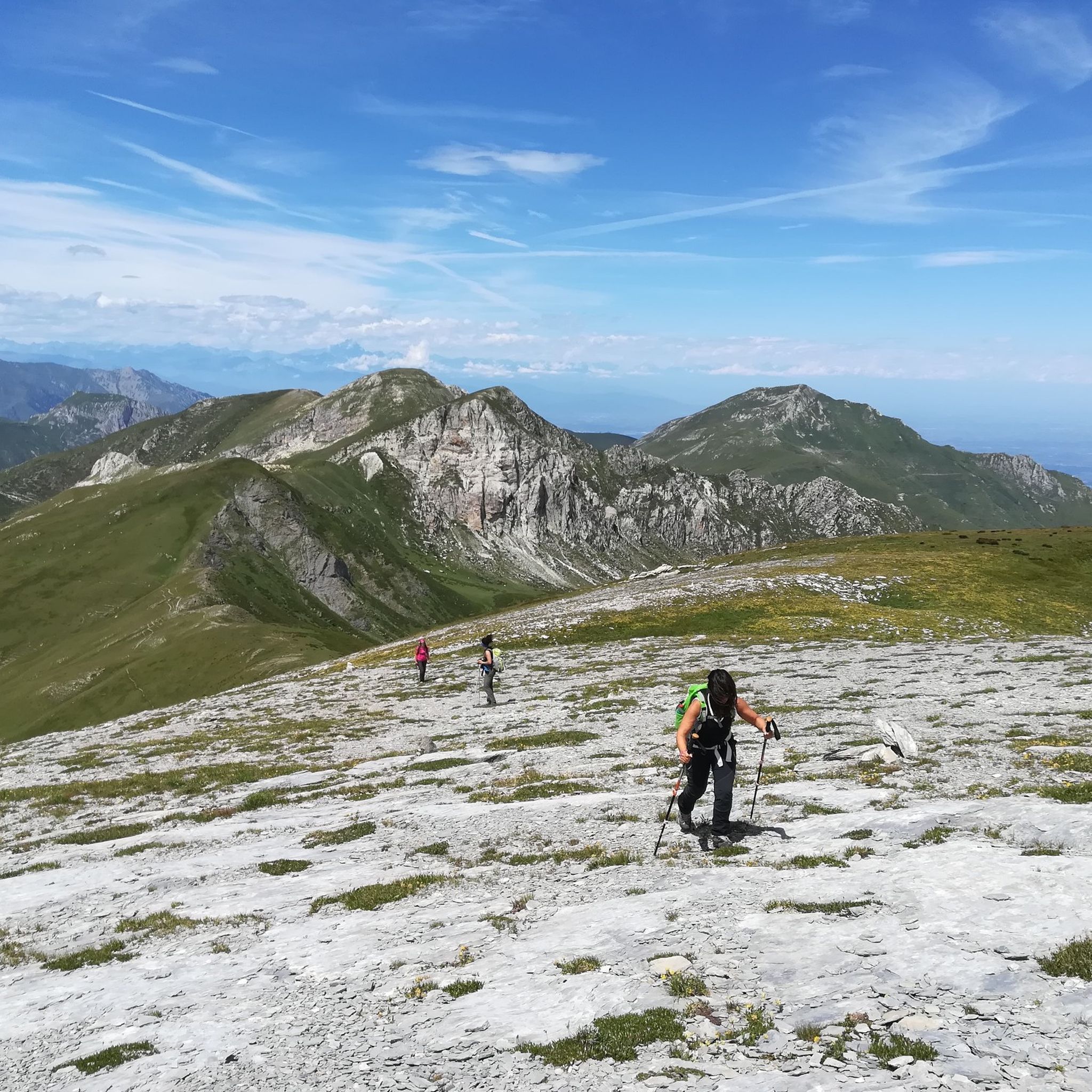
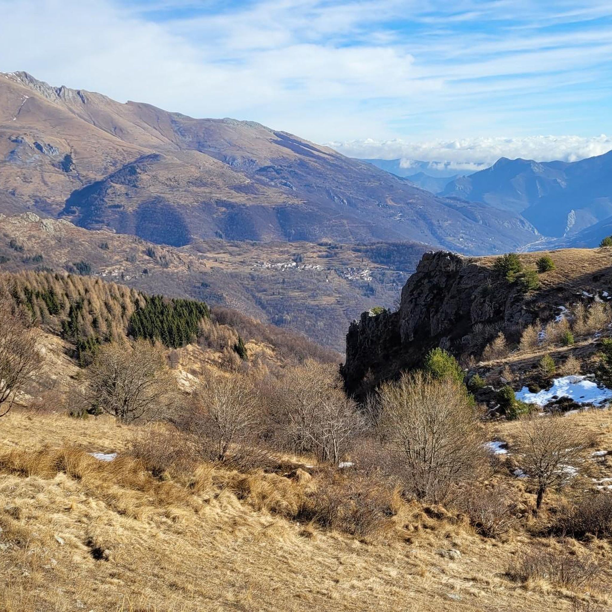
Mountaineering around Ormea, nestled in the Upper Tanaro Valley within the Ligurian Alps, offers a diverse natural environment. The region is characterized by deep valleys, verdant hills, and towering alpine peaks, including prominent summits like Pizzo d'Ormea. It features significant karstic systems, notably in the Mongioie area, and the southernmost larch forest in the Italian Alps, Il Bosco delle Navette.
Best mountaineering routes around Ormea
- The most popular mountaineering route is Monte Mondolé – Trucca Ceresole loop from Artesina,…
Last updated: October 7, 2026
4.0
(1)
7
hikers
10.0km
03:59
780m
780m
Moderate mountaineering route. Good fitness required. Easily-accessible paths. Suitable for all skill levels.
5.0
(1)
5
hikers
Hard mountaineering route. Very good fitness required. Sure-footedness, sturdy shoes and alpine experience required.

5.0
(1)
4
hikers
15.7km
05:49
840m
840m
Hard mountaineering route. Very good fitness required. Mostly accessible paths. Sure-footedness required.
Our route recommendations are based on thousands of hikes, rides, and runs completed by other people on komoot.
Start today with a free account
Your next adventure awaits.
Popular around Ormea

GTA South Piedmont — Hiking in Italy's Occitan valleys
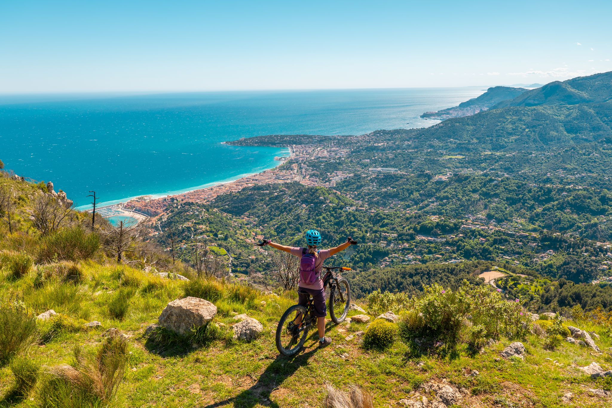
RivierALP – MTB routes from alpine passes to the Riviera
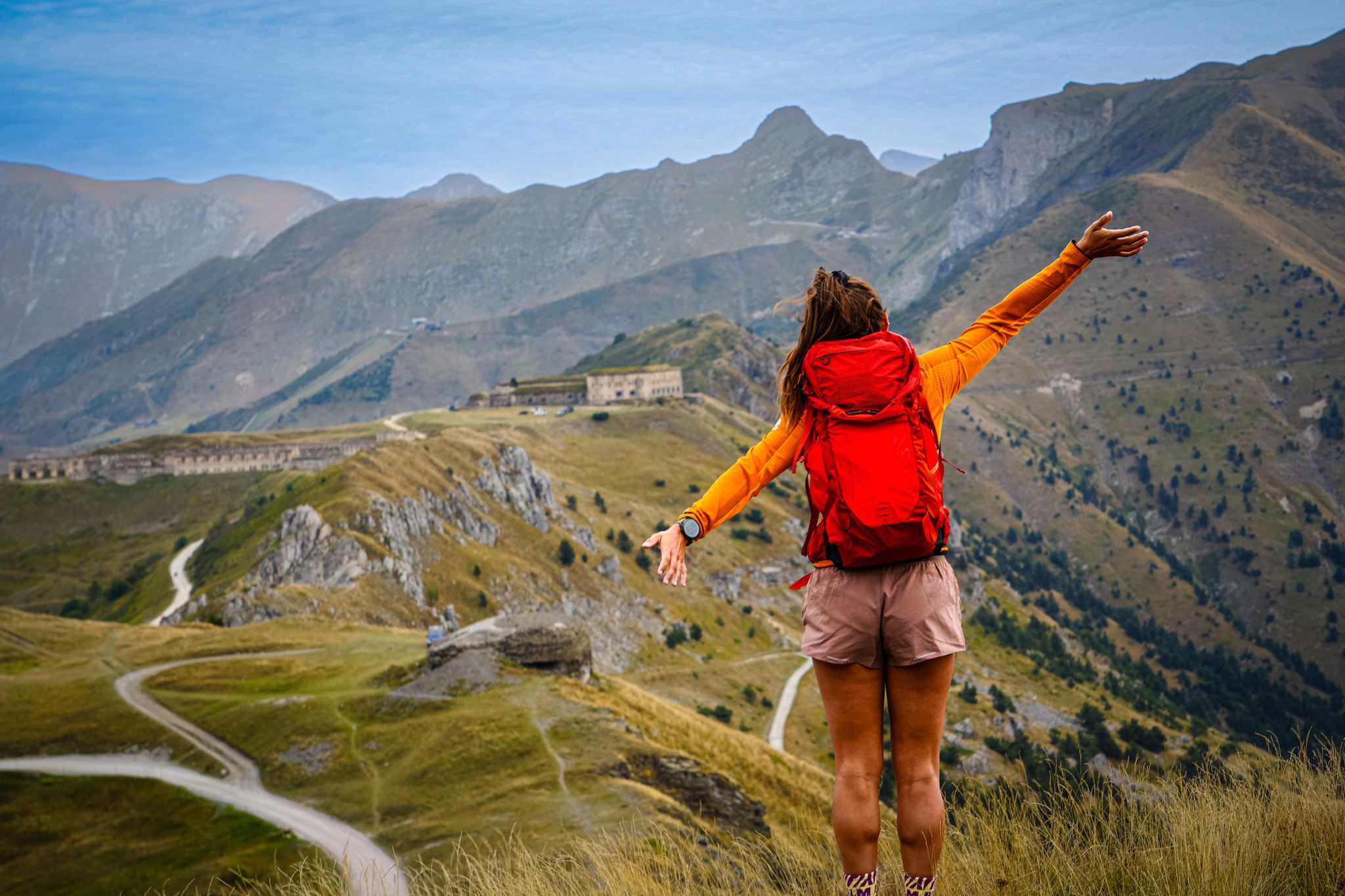
RivierALP – great hikes between the Alps and the Mediterranean
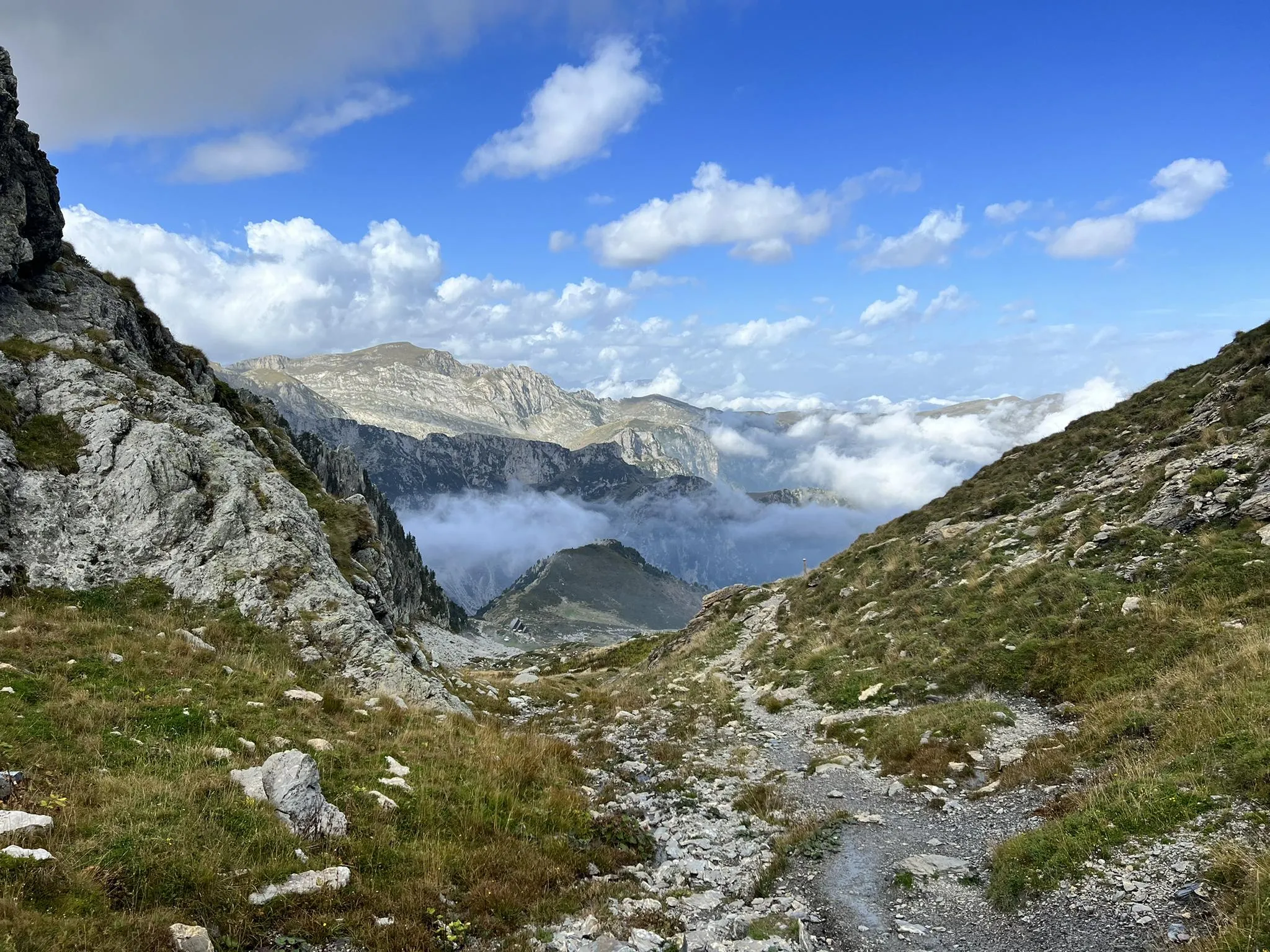
Explore the highest peak in Italy's Ligurian Alps – Giro del Marguareis
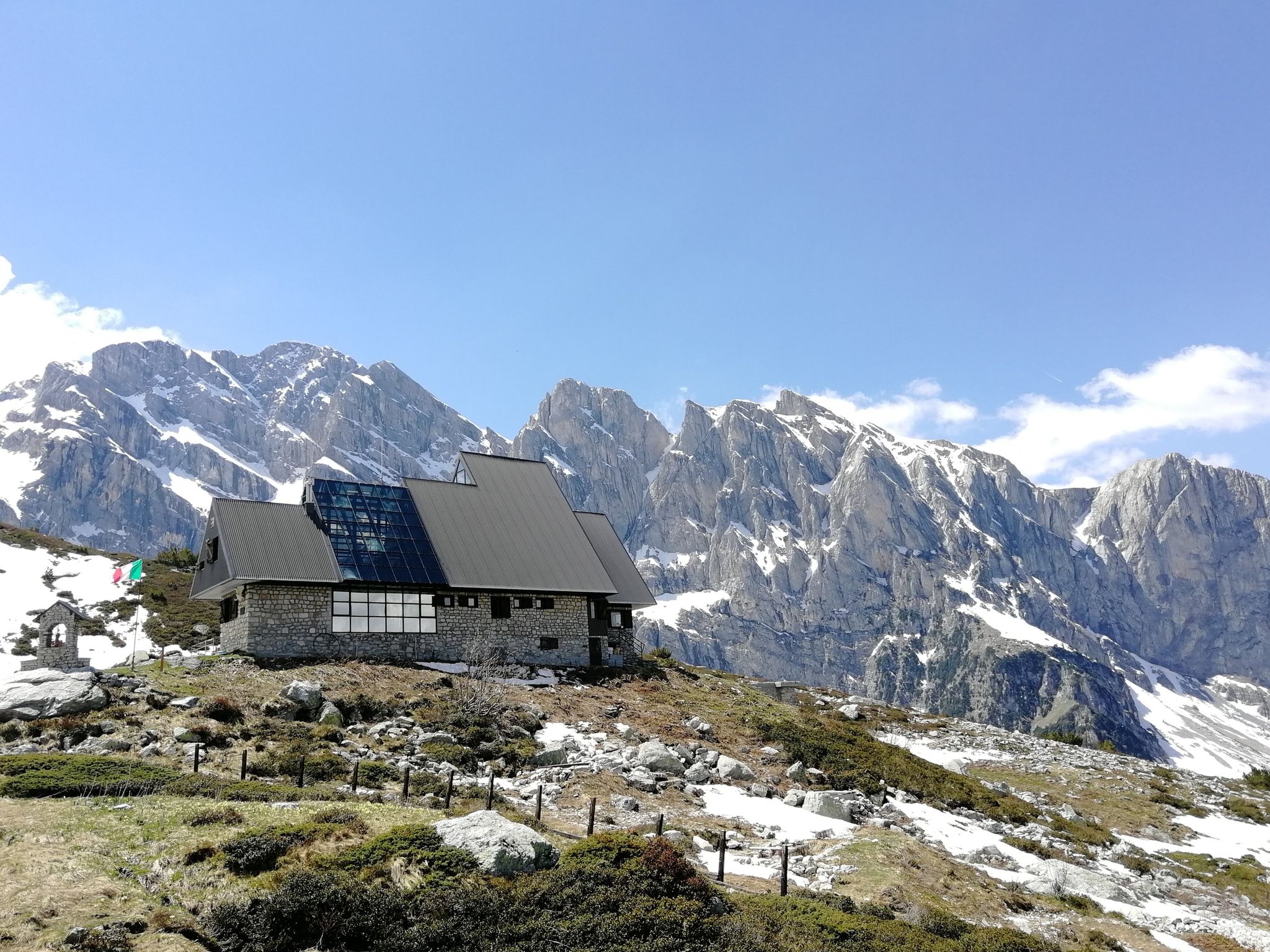
Marguareis Tour – discover caves, ravines and karstic rocks in Italy
Hiking around Ormea
MTB Trails around Ormea
Cycling around Ormea
Road Cycling Routes around Ormea
Running Trails around Ormea
Other adventures around Ormea


Tips from the Community

Unmissable stop every year. They are kind and you feel great. Book in advance because it is a very popular crossroads.
0
0

Located at 1,928 meters above sea level in the heart of the homonymous Natural Park, this small alpine body of water lies in a picturesque grassy hollow right at the foot and start of the famous Torinesi and Genovesi canals. Next to the lake is the Rifugio Garelli with the adjacent botanical station "Danilo Re". Being a protected area with a very high biodiversity value, it is the ideal place to stop and observe up close the rich flora typical of the park and, with a bit of attention, spot the chamois and marmots that inhabit the area.
0
0

Bivouac in a very scenic position along the ridge that connects the Fronté to the Saccarello, in a strategic position for treks that climb from the sea to the Alps
0
0
Refuge-hotel located in a very panoramic position
0
0

Starting October 1, 2023, reservations for the Sanremo Refuge will be managed remotely using the Bivypass system, accessible at www.parks.it/rif/sanremo. Once your reservation is complete and payment is made, the system will send you a numeric code valid for one day that will open the refuge's entrance door. Guests are kindly requested to complete the attached file with their contact information and send it to inforifugio@caisanremo.it. ATTENDANCES-RIF-SANREMO For clarifications or information, please contact the following numbers: Riccardo: +39 3474031293 Alberto: +39 3272274813 or write to the dedicated email address inforifugio@caisanremo.it
0
0

Beautiful and direct ascent from Don Barbera
1
0

Bookable online by sending the access code via email. 24 beds.
0
0

The French side of the Tanarel is more suited to mountain bikes than gravel. At least half of the uphill section is unrideable, even if you're technically skilled. It's best to allow some extra time.
0
0
Frequently Asked Questions
What kind of terrain can I expect on mountaineering routes around Ormea?
Mountaineering routes in the Ormea region traverse a diverse landscape, characterized by deep valleys, verdant hills, and towering alpine peaks. You'll encounter significant karstic systems, especially in the Mongioie area, and even the southernmost larch forest in the Italian Alps, Il Bosco delle Navette. Routes can range from moderate ascents to challenging multi-day excursions, often featuring varied terrain and significant elevation changes.
Are there any circular mountaineering routes in the Ormea area?
Yes, several mountaineering routes around Ormea are designed as loops, allowing you to start and end at the same point. Examples include the challenging Monte Mondolé – Trucca Ceresole loop from Artesina, which offers extensive alpine views, or the moderate Cima Durand – Colla Bauzano loop from Artesina. For a more rugged experience, consider the difficult Steep Rubble Climb loop from Viozene.
What are some notable natural features or landmarks to look out for on these routes?
The Ormea region is rich in natural beauty. You might encounter the impressive karstic system in the Mongioie area, which includes the 'Cave of the Veins,' or the unique Il Bosco delle Navette, the southernmost larch forest in the Italian Alps. For specific natural attractions, consider visiting the Saut Waterfalls or exploring the various gorges like Gola delle Fascette and Tanaro Gorge.
What is the best time of year for mountaineering in Ormea?
The temperate climate of the Ormea region generally allows for year-round outdoor enjoyment. However, for mountaineering, late spring through early autumn (May to October) typically offers the most favorable conditions with less snow and more stable weather. Winter months can be suitable for experienced mountaineers with proper gear, as nearby ski resorts indicate snow presence, but conditions will be more challenging.
Are there any family-friendly mountaineering options or easier trails suitable for beginners?
While many of the listed mountaineering routes are moderate to difficult, the broader Ormea region offers an extensive network of trails suitable for various experience levels. For families or beginners, it's advisable to look for shorter, less steep sections of trails like the Balconata di Ormea, which has moderate gradients and can be divided into stages. Always check the specific route details for elevation gain and distance to ensure it matches your group's ability.
Can I bring my dog on mountaineering routes in Ormea?
Many trails in the Ligurian Alps, including those around Ormea, are generally dog-friendly. However, it's always best to check local regulations for specific protected areas or nature parks, such as the Marguareis protected area, which might have restrictions or require dogs to be on a leash. Ensure your dog is fit for the terrain and duration of the chosen route, and always carry enough water for both of you.
How many mountaineering routes are available in the Ormea area?
There are over 8 dedicated mountaineering routes around Ormea listed on komoot, ranging from moderate to difficult. This number doesn't include the extensive network of general hiking trails that also crisscross the region, offering a wide variety of options for outdoor enthusiasts.
What do other mountaineers say about the routes in Ormea?
The mountaineering routes in Ormea are highly regarded by the komoot community, with an average rating of 4.5 stars from 3 reviews. Over 40 mountaineers have used komoot to explore the varied terrain, often praising the extensive views and the challenging yet rewarding nature of the ascents.
Are there any huts or refuges along the mountaineering trails for breaks or overnight stays?
Yes, the region has huts that can serve as points for breaks or overnight stays. For instance, the Rifugio Don Barbera is a notable hut in the area. Another option is Pian delle Gorre. Always check opening times and availability, especially during off-peak seasons.
Is public transport available to reach the trailheads around Ormea?
Public transport options to specific trailheads can be limited in mountainous regions. While Ormea itself is accessible, reaching the starting points for routes like those from Artesina or Viozene might require local bus services or private transport. It's recommended to research specific bus routes and schedules in advance, especially for destinations further into the valleys.
Are there any challenging alpine climbs near Ormea for experienced mountaineers?
Ormea is surrounded by significant peaks in the Ligurian Alps, offering challenging options for experienced mountaineers. Prominent summits like Pizzo d'Ormea (2,476 m), Monte Antoroto, and Monte Armetta provide demanding ascents. Further west, from Viozene, you can access Monte Mongioie and the Marguareis protected area, known for its rugged terrain and extensive karstic systems.
What are some good options for a moderate mountaineering experience?
For a moderate mountaineering experience, you could consider the Cima Durand – Colla Bauzano loop from Artesina. This route covers about 10.8 km with significant elevation gain, offering panoramic vistas without the extreme difficulty of some other trails. It typically takes around 4 hours and 11 minutes to complete.
Most popular attractions around Ormea

Get inspired with the komoot mobile app


Explore more
Browse the best Mountain Hikes & Routes in other regions.
