플라네 최고의 워킹 & 하이킹 경로
4.6
(2852)
24,047
등산객
401
하이킹
정확한 경로를 찾는 것이 때로는 어렵지만 플라네에서 하이킹을 하면 다양한 경치를 마음껏 감상할 수 있답니다. 플라네에서 가장 멋진 하이킹과 워킹 중에서 마음에 드는 활동을 시작해보세요.
마지막 업데이트: 8월 18, 2026
4.7
(22)
304
등산객
16.4km
06:19
1,130m
1,130m
어려운 하이킹. 우수한 체력 필요. 실력과 관계없이 누구나 쉽게 갈 수 있는 길.
4.7
(6)
78
등산객
9.36km
02:59
370m
380m
보통 하이킹. 좋은 체력 필요. 실력과 관계없이 누구나 쉽게 갈 수 있는 길.

무료 회원 가입
37
등산객
19.0km
06:27
970m
970m
어려운 하이킹. 우수한 체력 필요. 실력과 관계없이 누구나 쉽게 갈 수 있는 길.
5.0
(3)
12
등산객
보통 하이킹. 좋은 체력 필요. 실력과 관계없이 누구나 쉽게 갈 수 있는 길.
5.0
(3)
8
등산객
6.75km
02:02
220m
220m
보통 하이킹. 좋은 체력 필요. 실력과 관계없이 누구나 쉽게 갈 수 있는 길.
더 다양한 경로와 다른 탐험가들의 추천을 살펴보세요.
무료 회원 가입
이미 komoot 계정이 있나요?
투어 추천은 다른 사람들이 komoot에서 완료한 수천 개의 활동을 바탕으로 구성되어 있습니다.
오늘 무료 계정으로 시작하세요
다음 모험이 기다리고 있어요.
로그인 또는 가입하기


플라네 주변의 다른 모험

커뮤니티 팁

Very nice hike in winter; have 'snow' equipment for winter
0
0

Pretty little stone hut that can be used for shelter.
1
0

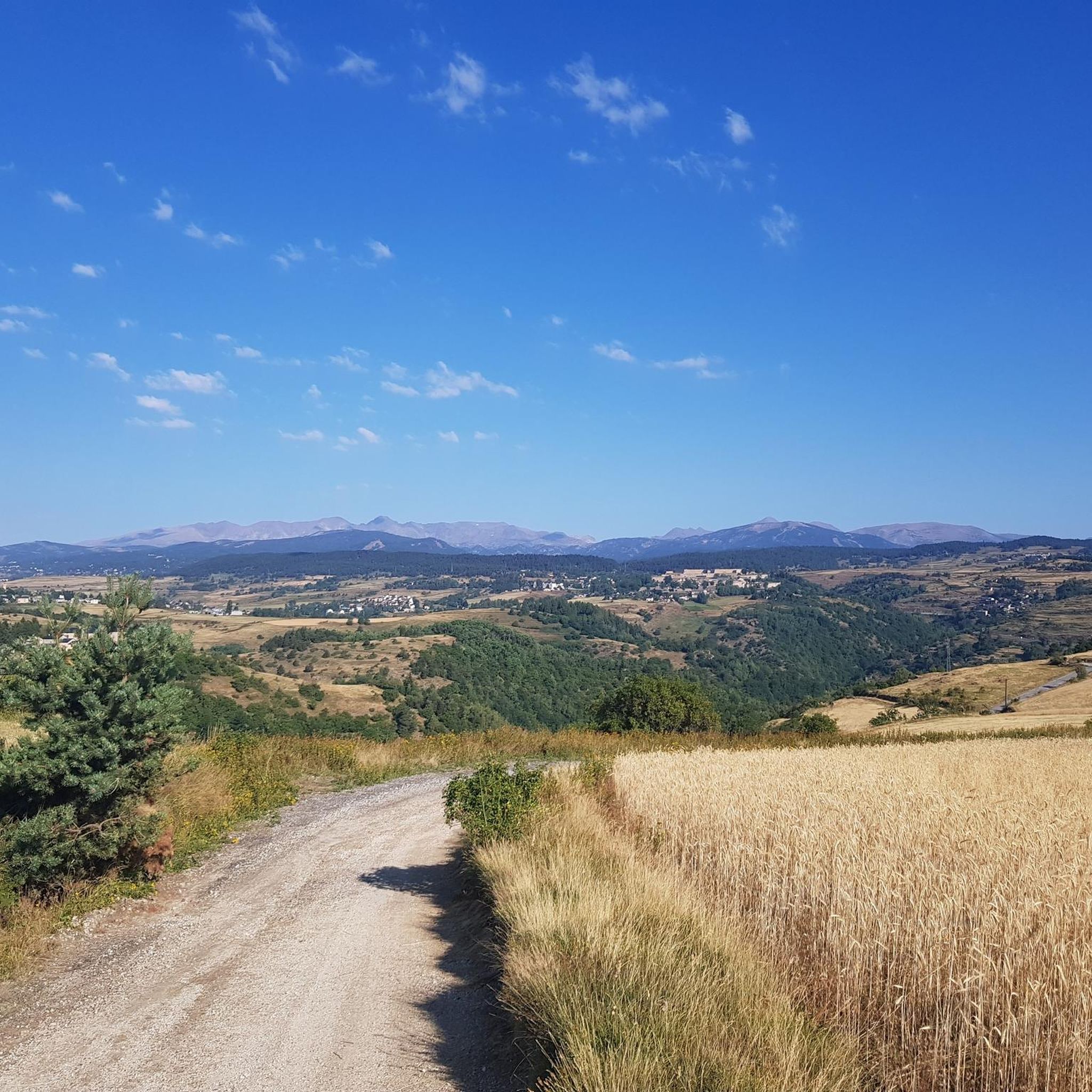
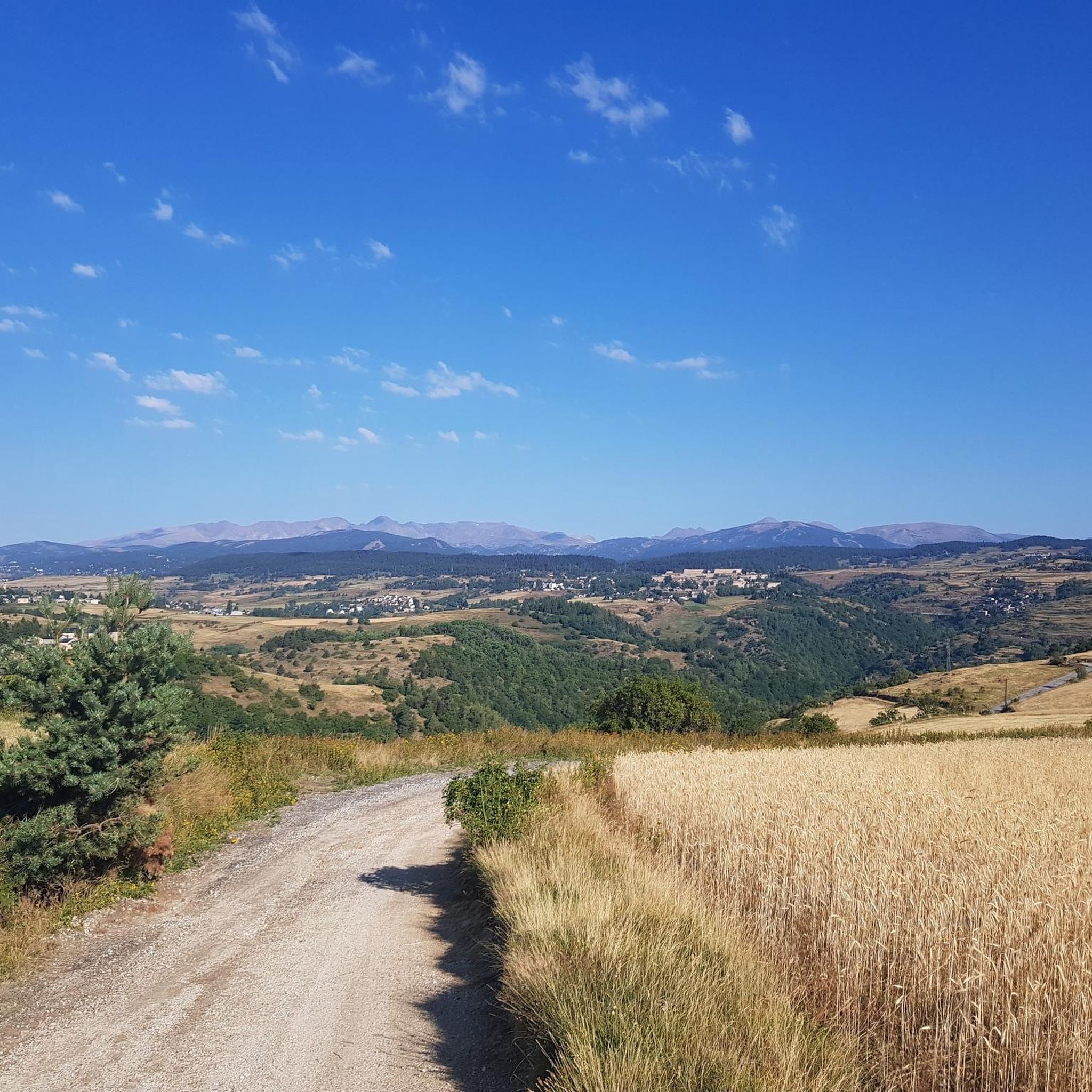
Going up the village to the antennas allows you to have a breathtaking view of the upper Têt valley. The eastern end of the Perche plateau, which carries Mont-Louis, La Cabanasse, Saint-Pierre and Planès, is dissected by the Têt and its tributaries. The landscape changes radically in a few hundred meters, the valley steepening by 500m. This topographic break point in the profile of a watercourse is called a *knick point*. It marks the place where regressive erosion has reached today following the global uplift that the region has been undergoing for around 10 Ma.
2
0
The path leaving the village offers a last view of the Cerdan landscape and the Perche plateau before heading towards the mountainous landscapes of the Orri valley. This final glance is an opportunity to visualize the layout of the three generations of flattening: the Carlit and Campcardos plateaus, the Carlit ponds and the Perche and Quillane plateaus. We can also see the imprint that the ice has left on the landscape. The tongue of ice which descended the Têt valley barely 25,000 years ago tore up, transported and deposited approximately 50 m of blocks which today form the magnificent frontal moraine of Mont-Louis and which is highlighted by the forest.
1
0


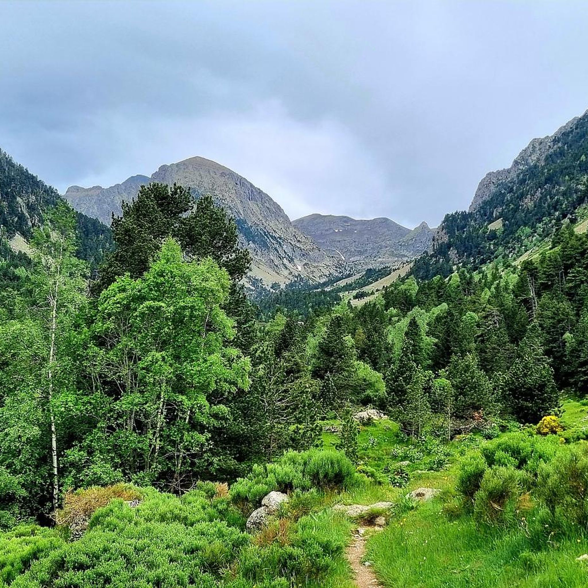
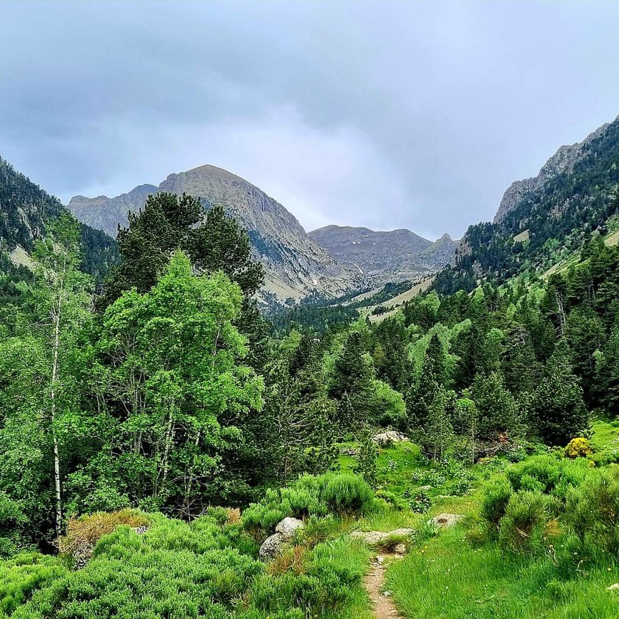
Planès is a charming little village organized into four hamlets facing each other on different hillsides. The town is ideally located on the GR 10 and offers hikers various accommodations (camping and lodges). It is also a superb landmark for observing wildlife, surprising a few marmots, listening to the call of the deer or watching hordes of chamois running. Many hiking trails leave from the village.
1
0
The Pla des Cedelles is a magnificent high-altitude pasture which offers superb views of the surrounding mountains. An essential passage to climb towards the Mitjà pass.
1
0

Interesting fortress, the upper part is still a restricted area. Of course by the fortress builder Vauban. More information: https://de.wikipedia.org/wiki/Mont-Louis?wprov=sfla1
3
0
플라네 주변에서 가장 인기 있는 명소


더 살펴보기
다른 지역의 최고의 하이킹를 살펴보세요.
