오류 최고의 워킹 & 하이킹 경로
4.5
(276)
3,204
등산객
30
하이킹
정확한 경로를 찾는 것이 때로는 어렵지만 오류에서 하이킹을 하면 다양한 경치를 마음껏 감상할 수 있답니다. 오류에서 가장 멋진 하이킹과 워킹 중에서 마음에 드는 활동을 시작해보세요.
마지막 업데이트: 8월 30, 2026
7
등산객
22.0km
08:37
1,540m
1,540m
Challenging 13.6-mile hike to Pic de Finestrelles via Puigmal crests, offering panoramic views in Pyrénées Catalanes Regional Natural Park.
3.7
(6)
104
등산객
16.6km
06:17
1,090m
1,090m
어려운 하이킹. 우수한 체력 필요. 튼튼한 신발을 신고 미끄러지지 않게 조심해야 하며, 높은 산을 오른 경험이 있어야 함.

무료 회원 가입
5.0
(2)
86
등산객
8.44km
03:41
770m
770m
보통 하이킹. 좋은 체력 필요. 실력과 관계없이 누구나 쉽게 갈 수 있는 길.
4.0
(7)
65
등산객
12.9km
04:12
600m
600m
보통 하이킹. 좋은 체력 필요. 실력과 관계없이 누구나 쉽게 갈 수 있는 길.
4.6
(5)
66
등산객
13.9km
05:38
970m
970m
어려운 하이킹. 우수한 체력 필요. 튼튼한 신발을 신고 미끄러지지 않게 조심해야 하며, 높은 산을 오른 경험이 있어야 함.
더 다양한 경로와 다른 탐험가들의 추천을 살펴보세요.
무료 회원 가입
이미 komoot 계정이 있나요?
투어 추천은 다른 사람들이 komoot에서 완료한 수천 개의 활동을 바탕으로 구성되어 있습니다.
오늘 무료 계정으로 시작하세요
다음 모험이 기다리고 있어요.
로그인 또는 가입하기


커뮤니티 팁

the views and the pleasure of climbing almost to 3000 m
1
0

Where did you drive up there from and which gate did you take? Where did you drive up there from and which gate did you take? From where did you drive up there and which gate did you take?
0
1

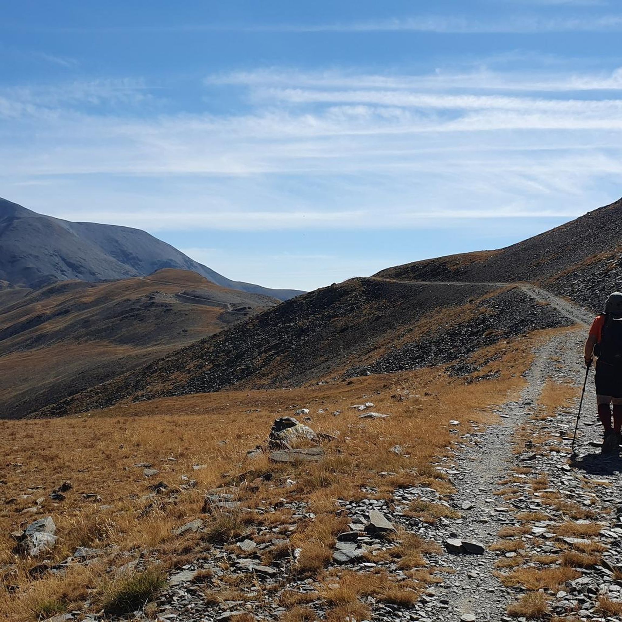
There isn't really much of a view to enjoy here. The other mountains in the same category that can be hiked along the ridge are more impressive. But you are still "up there" here. Away from the hustle and bustle of the world, in silence. Only the wind blows over the peaks, kicks up a few dust devils, and in summer cools the sweat of the climb.
3
0

There are many legends surrounding the Puigmal. Among others that this was a giant of the mountain who did not like the human presence at the top. Without a doubt, a very Pyrenean peak.
2
1

the Clot de la Pastera or Bressol del Puigmal is located where the paths of Pas del Lladres and the path that goes up from Vallcebollera meet and is where the last steep climb to the summit of Puigmal begins. As its name indicates, it is a hollow where after the thaw or during heavy rains it can become a pond.
1
0

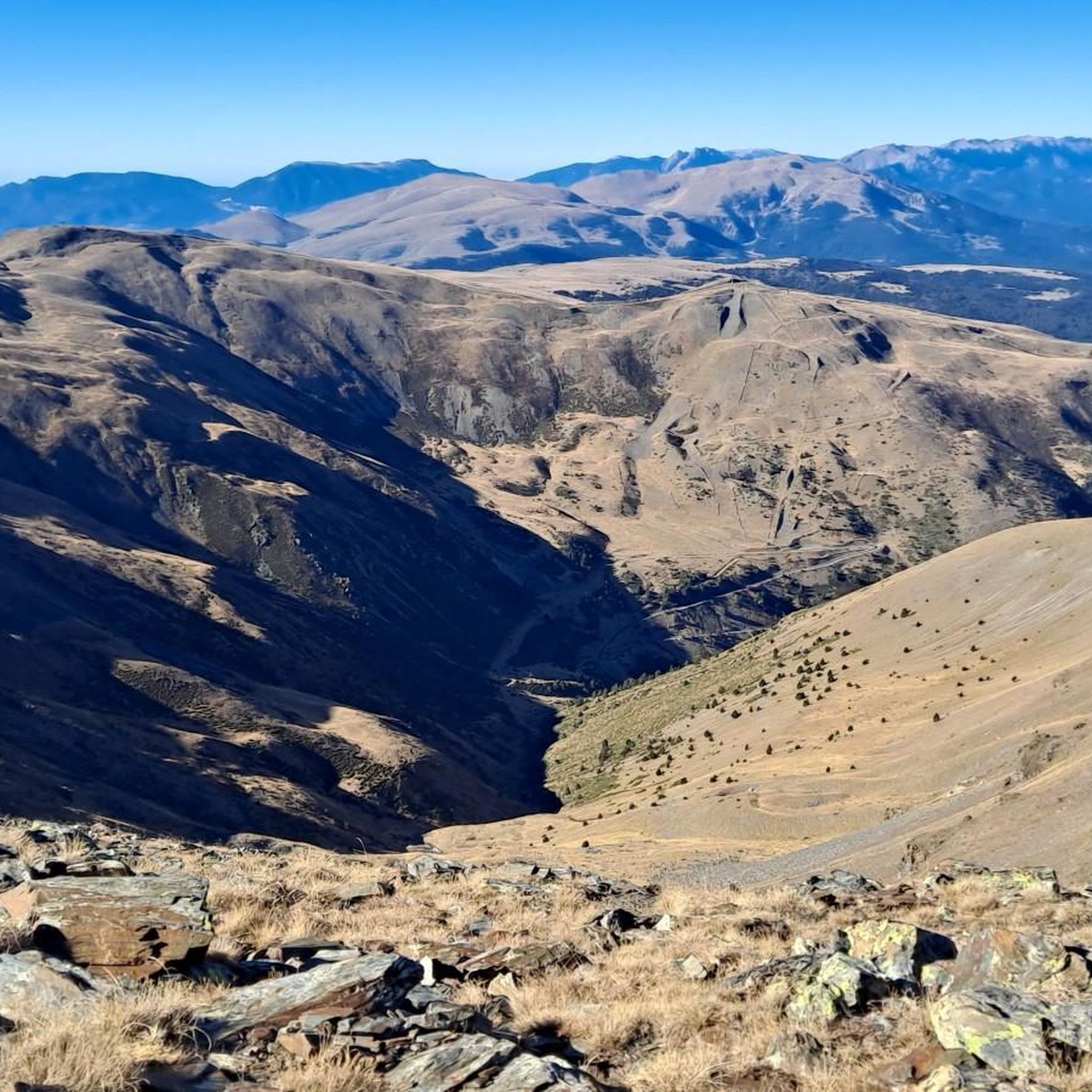
Also known as the Pico de Segre is a peak of 2,843 meters of altitude located between the municipal term of Llo, in the region of Alta Cerdaña, and the municipal term of Queralbs, in the Ripollés, next to the Valle de Nuria. At its feet, on the northwest slope, the Segre River rises.
0
0
It is a high mountain peak that, depending on winter conditions, can be done with snowshoes, cross-country skis or in alpine style, with crampons and an ax. It is best to do this when there is still snow so as not to meet the crowd that usually climbs when it disappears. It is on the list of the 100 essential peaks of the F.E.E.C.
1
0
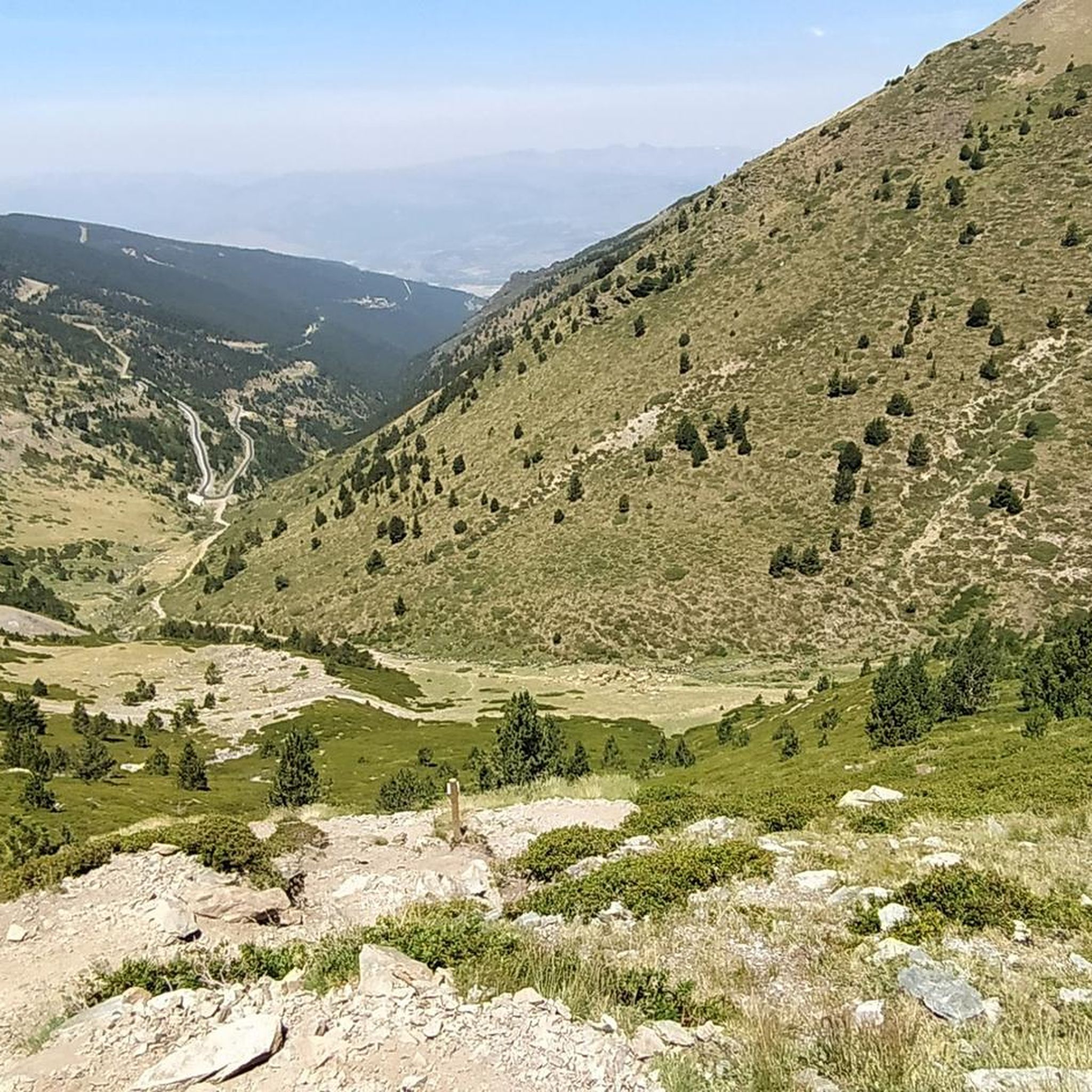
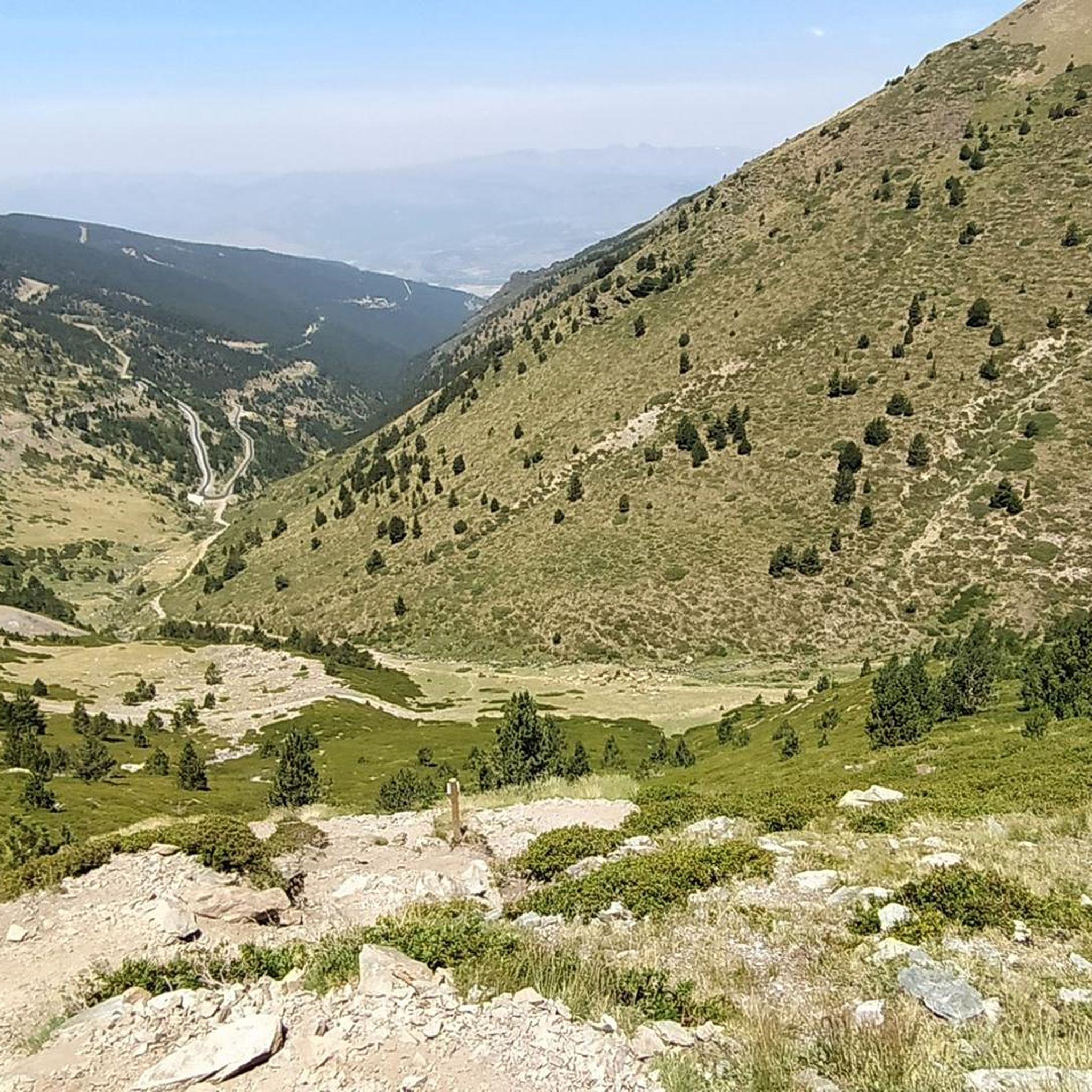
El Puig, or Pic de Finestrelles is a mountain of 2,826.9 meters of altitude located on the axial ridge of the Pyrenees, located between the communal areas of Eina and Llo, both in the region of Alta Cerdanya, and the municipality of Queralbs, belonging to that of Ripollès. It is at the south-west end of the Eina district, at the south-east, also end, of Llo and at the northern limit, towards the north-west side, of Queralbs. It has Pic de Núria nearby to the east, Coll de Finestrelles to the southwest and Puigmal de Segre, or Llo, a little further to the southwest. It has the singularity of being the mountain from which the world record of portraying the most distant landscape on the planet has been achieved. In other words, this means, from a point on the planet (not aerial means or from celestial bodies), to be able to grasp a horizon that is maximally distant and that is defined enough to identify its relief. Specifically, the Ecrins (French Alps) were photographed at dawn on July 16, 2016, so that the distance of 443 km to Pic Gaspard was covered. Two and a half years later it still stands as a world record.
2
0
오류 주변에서 가장 인기 있는 명소


더 살펴보기
다른 지역의 최고의 하이킹를 살펴보세요.
