플라네에서 가장 멋진 20개의 산길
플라네에서 가장 멋진 산길을 아래에서 살펴보세요. 풍경을 감상하기에도 좋고, 오르막길/내리막길을 따라 걷기에도 좋은 곳이랍니다. 커뮤니티가 특별 도움을 통해 공유한 콘텐츠인 만큼 믿을 수 있는 정보이니 마음에 드는 산길이 있다면 바로 다음 모험 계획에 추가해서 바로 방문해보세요.
마지막 업데이트: 8월 20, 2026
콜 드 라 페르슈 (1,579 m)
하이라이트 • 산악 고개
More information: quaeldich.de/paesse/col-de-la-perche
번역자 Google •
팁에 의해

퐁로므 칼바레 고개
하이라이트 • 산악 고개
번역자 Google •
팁에 의해

이런 장소를 발견하려면 지금 가입하세요
최고의 싱글 트랙, 봉우리 및 다양한 흥미로운 야외 장소에 대한 추천을 받아보세요.
무료 회원 가입

폰탈바 고개(약 2000m)
하이라이트 • 산악 고개
번역자 Google •
팁에 의해

발테르 2000 고개
하이라이트 • 산악 고개
번역문 보기
팁에 의해

무료로 가입하여 플라네 주변의 더 많은 산악 고개를 발견하세요.
무료 회원 가입
이미 komoot 계정이 있나요?
오늘 무료 계정으로 시작하세요
다음 모험이 기다리고 있어요.
로그인 또는 가입하기


플라네 주변의 다른 모험

커뮤니티 팁


프랑스와의 국경에 있는 리폴레스의 피레네 산맥 중심부에 위치한 이 스키 리조트는 자전거로 아스팔트 도로를 통해 도달할 수 있는 가장 높은 산악 패스 중 하나이기도 합니다. 이 스키 리조트는 최근 2019년에 볼타 아 카탈루냐의 피니시 라인으로 여러 번 사용되었습니다.
1
0

Well, starting from Font Romeu and breaking legs from Mont Louis
0
0

Access to the site is restricted in summer by vehicle, and a reserved spot is required for €5. Overnight parking is not permitted.
1
0

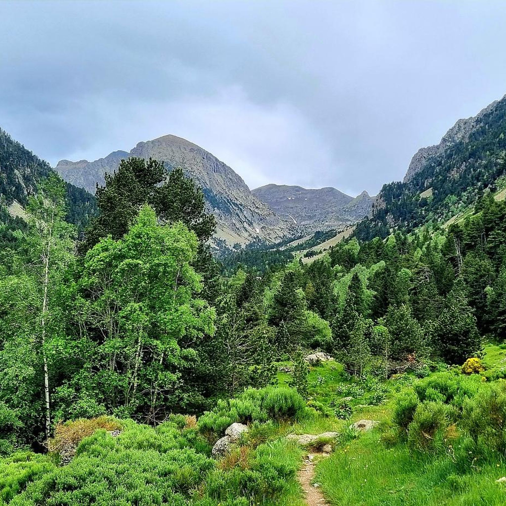
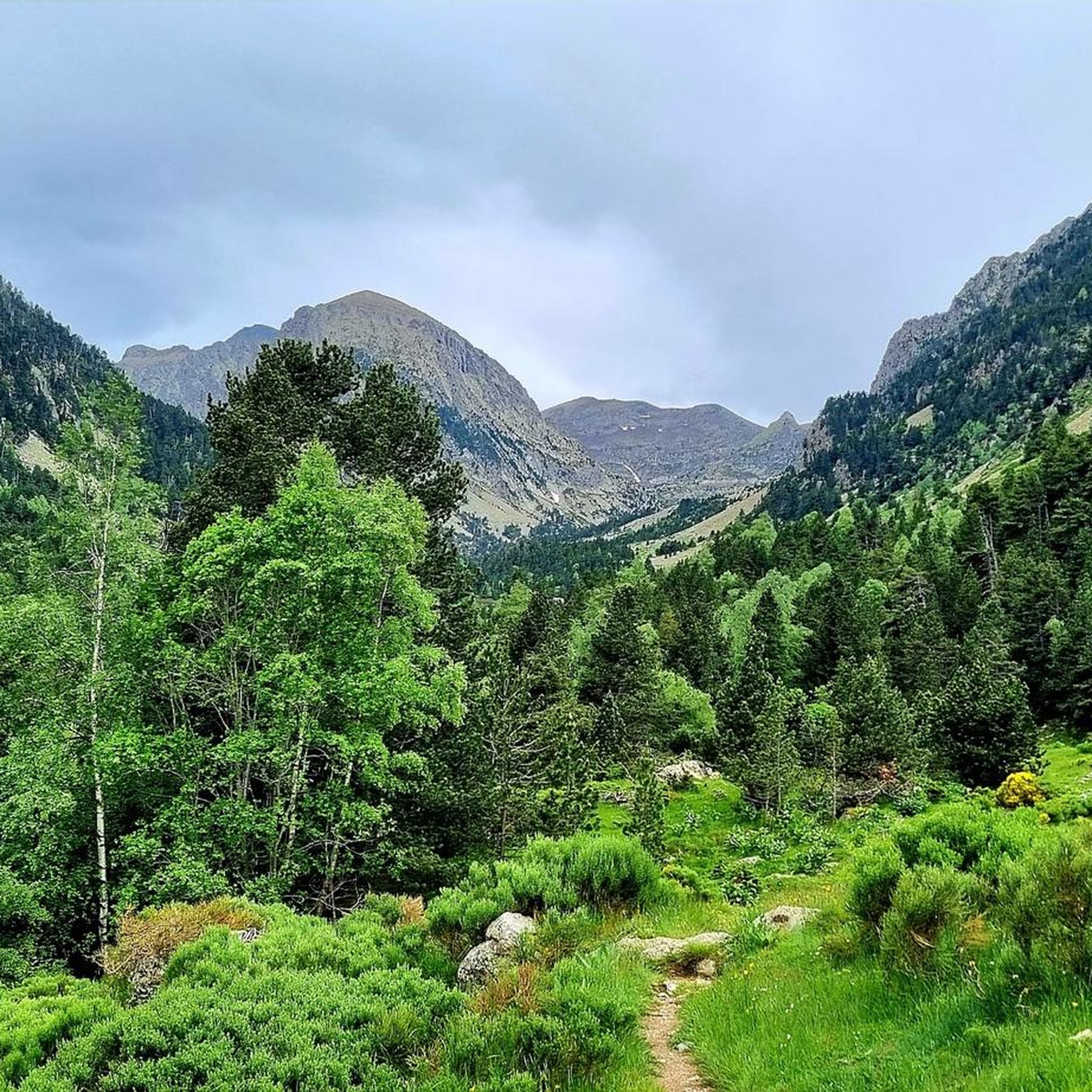
The parking area in Fontalba, with a fee during the summer, is the optimal starting point for those who wish to start conquering 3000 meter peaks, starting with Puigmal. This route is not only accessible and direct, but also provides stunning scenery, making it the ideal choice for aspiring mountaineers.
1
0

Mataró > Vallter / Setcases (Camprodon Valley) 03/19/2024 - Stage 2 Tour of Catalonia
0
1

The Col de la Calvaire de Font Romeu is a mountain pass in French Cerdanya, next to the town and ski resort of Font Romeu. This port connects the Bolquère valley with the Cerdanya valley. The port is within the same town of Font Romeu, next to the station's ski lifts. There are many slopes to reach Col de la Calvaire: - the western slope that starts from Ur is approximately 16 km and crosses the town of Targasone and the Col d'Egat. It is a very steep climb along a road in perfect condition, although on holidays there is a lot of traffic. - The southern slope starts from Llívia and crosses Estavar and joins the previous one at the Col d'Egat. Unlike the first, the first section of the climb is very hard, with several horseshoe curves and with wonderful views of the entire Cerdanya and the Tosa d'Alp. - The eastern slope stops at Olette, and after approximately 28 km it reaches the top of the pass, passing through the town of Mont-Louis and Bolquère. It is a very steep climb, like the first, on a road in perfect condition but with a lot of traffic. I don't like going up here. - the eastern slope that starts from Olette and passes through the Col de la Perche, reaching the town of Font-Romeu and from there to the top. Of all the slopes, the one I like the most is the slope that starts from Llívia and crosses Estavar.
0
0

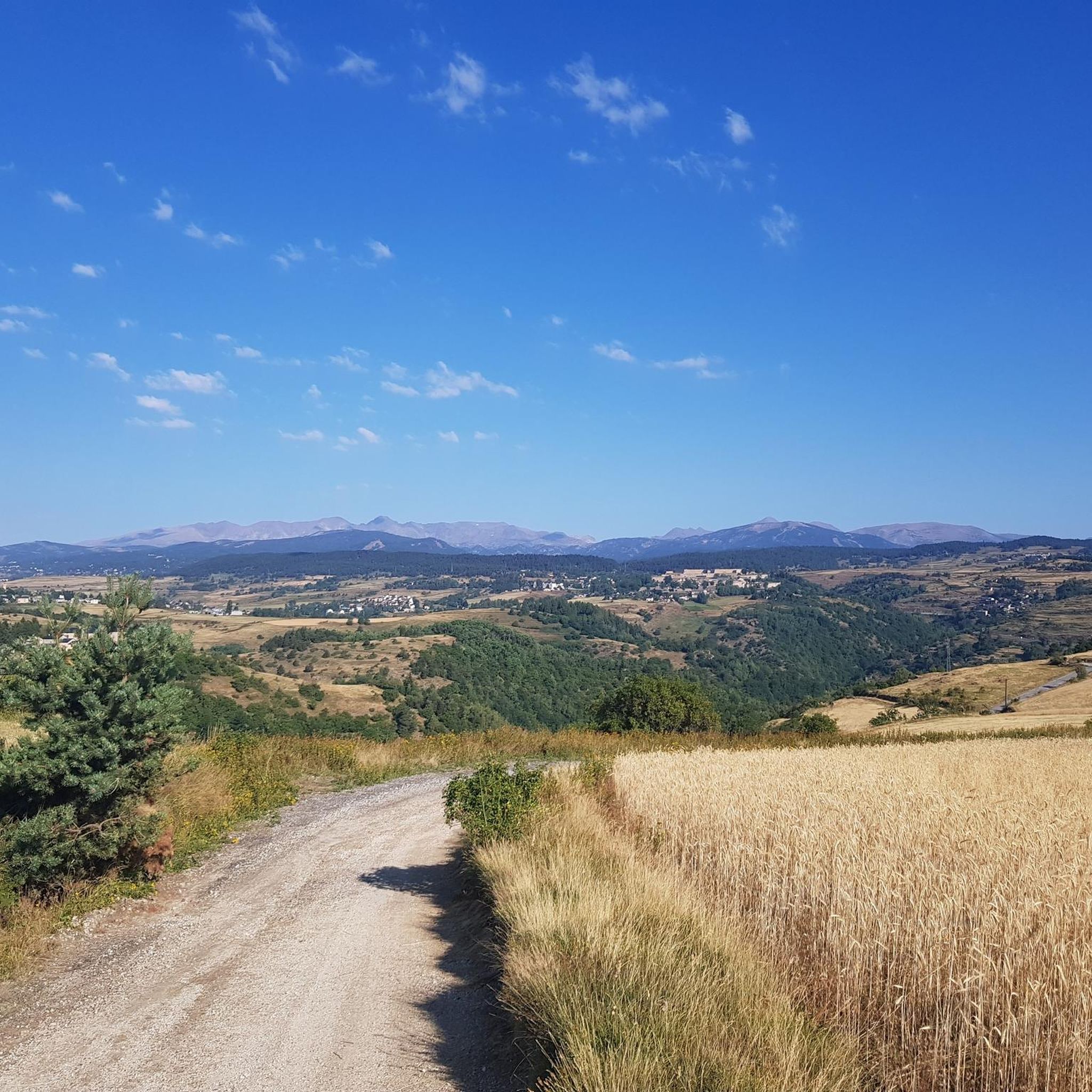
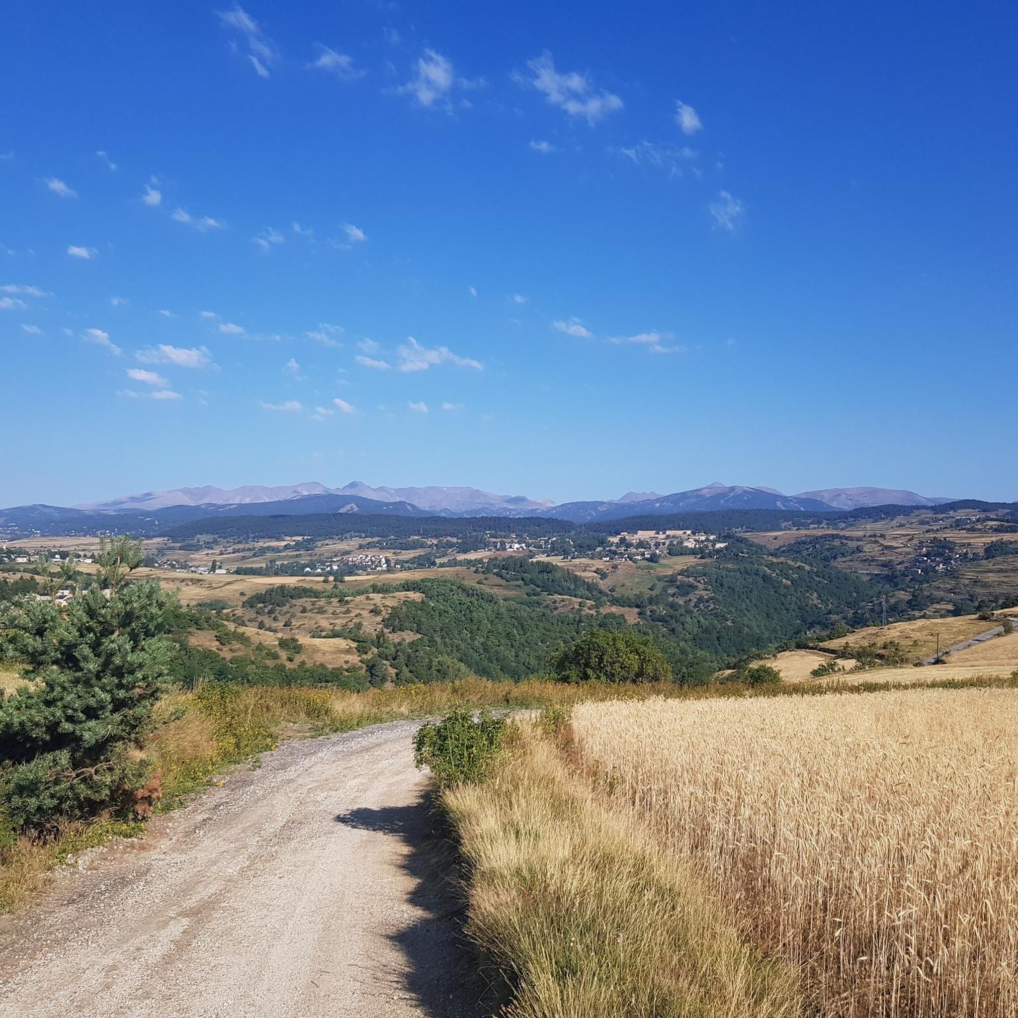
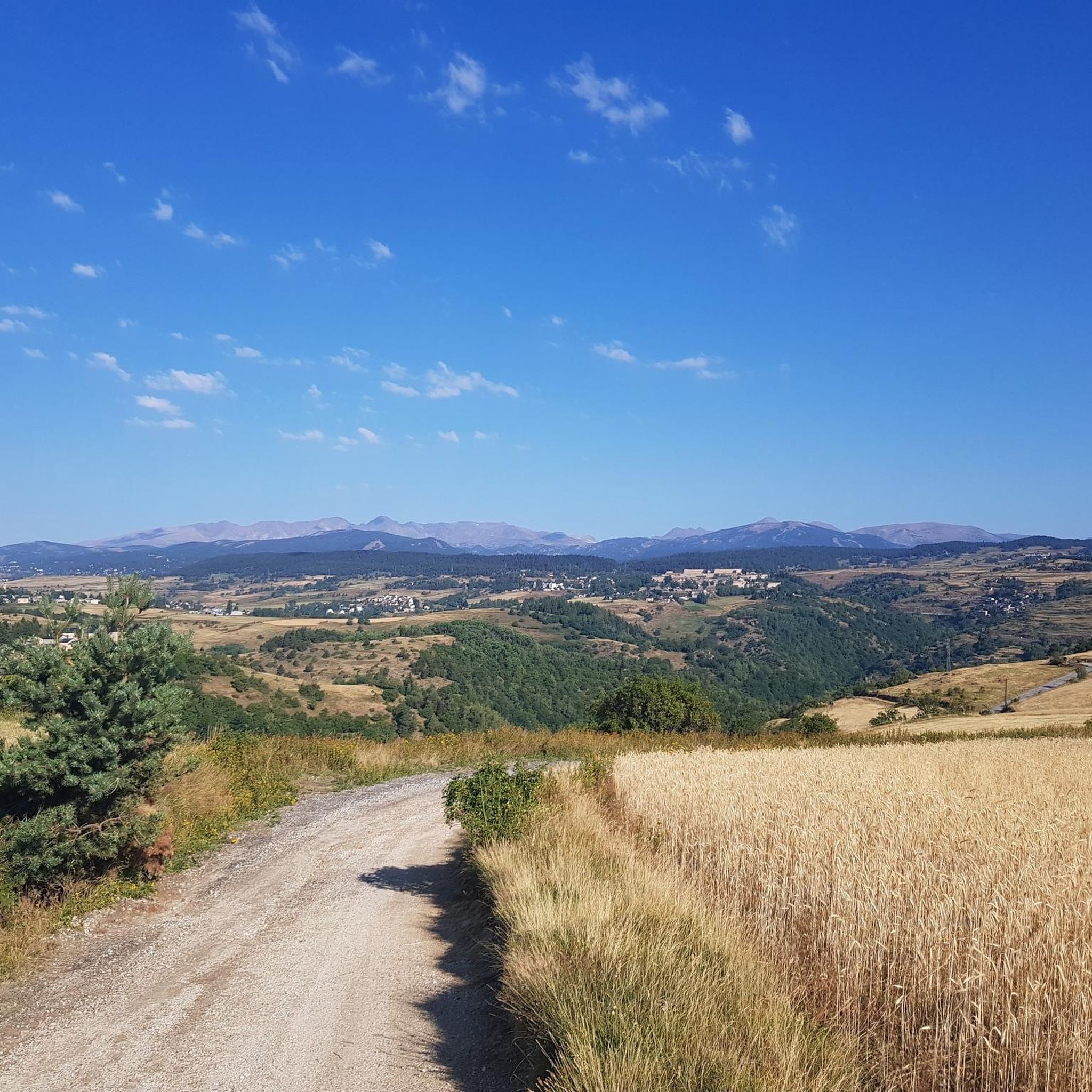
Culminating at 1,579 meters above sea level, the Col de la Perche can be climbed by four routes in total. Each of them includes relatively gentle slopes. At the top, the view of the surrounding area is splendid and rewards your efforts!
0
0
플라네 주변에서 가장 인기 있는 명소


더 살펴보기
이 가이드를 통해 더 많은 장대한 산악 통과를 확인해보세요 플라네 주변:
