오베른키르헨 최고의 러닝 경로
4.8
(35)
301
달리기 하는 사람
52
러닝
오베른키르헨에서 하이킹하며 샴버그 구석 부분까지 살펴볼까요? 오베른키르헨에 있는 모든 하이킹 및 워킹 경로 컬렉션 중 가장 멋진 하이킹 경로를 엄선하여 소개해드릴게요. 다른 하이커가 공유한 실제 팁과 사진을 살펴보고 후기를 읽으며 마음에 드는 오베른키르헨 워킹 경로를 찾아보세요.
마지막 업데이트: 10월 1, 2026
5.0
(2)
22
달리기 하는 사람
9.68km
01:01
80m
90m
보통 조깅. 좋은 체력 필요. 대부분 포장된 지면. 실력과 관계없이 누구나 갈 수 있음.
5.0
(1)
15
달리기 하는 사람
5.60km
00:38
110m
110m
보통 조깅. 좋은 체력 필요. 대부분 포장된 지면. 실력과 관계없이 누구나 갈 수 있음.

9
달리기 하는 사람
16.4km
01:47
240m
230m
어려운 조깅. 우수한 체력 필요. 대부분 갈 수 있는 길. 일부 구간에서 미끄러지지 않게 조심해야 함.
5.0
(3)
7
달리기 하는 사람
5.87km
00:37
40m
40m
보통 조깅. 좋은 체력 필요. 대부분 포장된 지면. 실력과 관계없이 누구나 갈 수 있음.
4.3
(3)
9
달리기 하는 사람
5.52km
00:36
40m
40m
보통 조깅. 좋은 체력 필요. 대부분 갈 수 있는 길. 일부 구간에서 미끄러지지 않게 조심해야 함.
더 다양한 경로와 다른 탐험가들의 추천을 살펴보세요.
이미 komoot 계정이 있나요?
투어 추천은 다른 사람들이 komoot에서 완료한 수천 개의 활동을 바탕으로 구성되어 있습니다.
오늘 무료 계정으로 시작하세요
다음 모험이 기다리고 있어요.


커뮤니티 팁

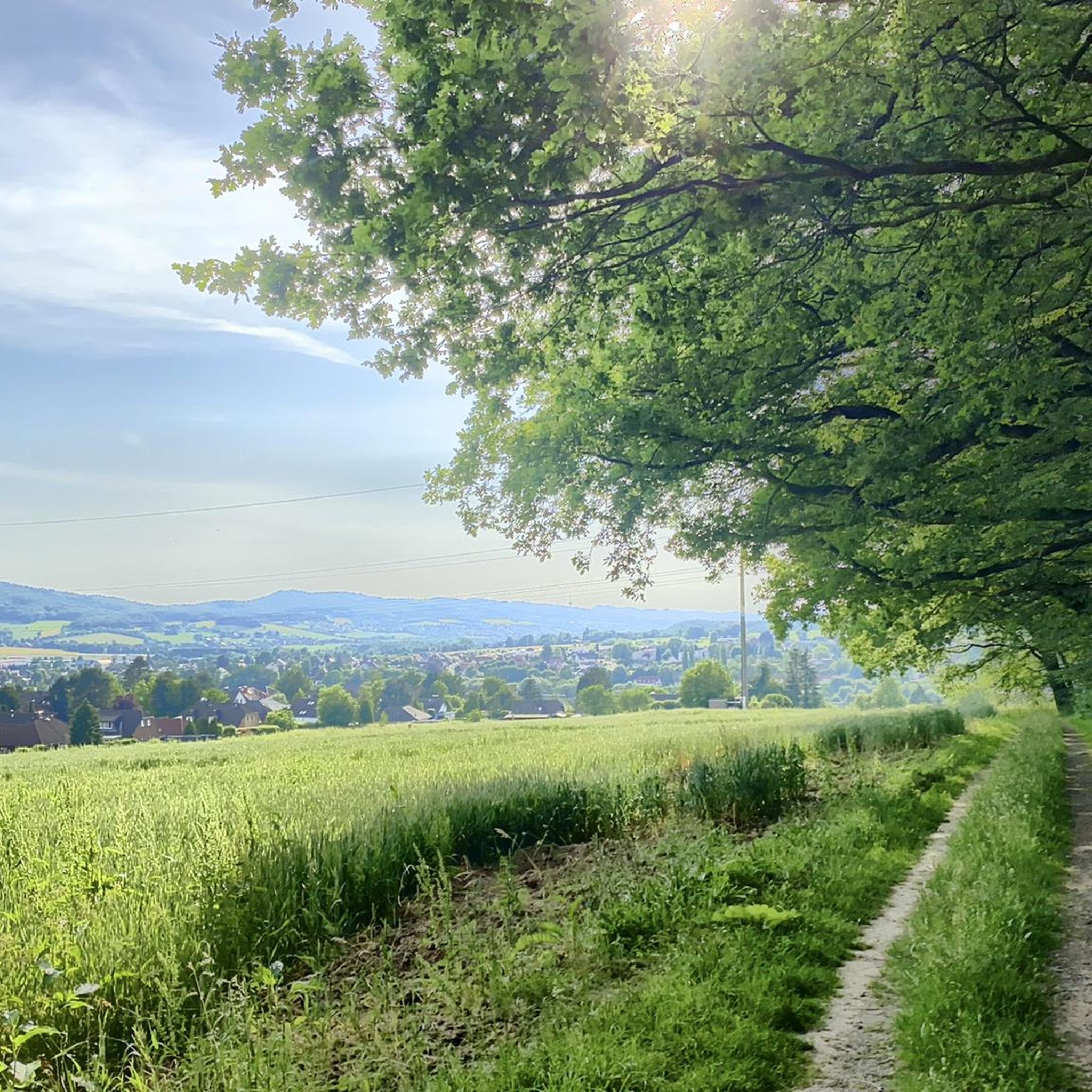
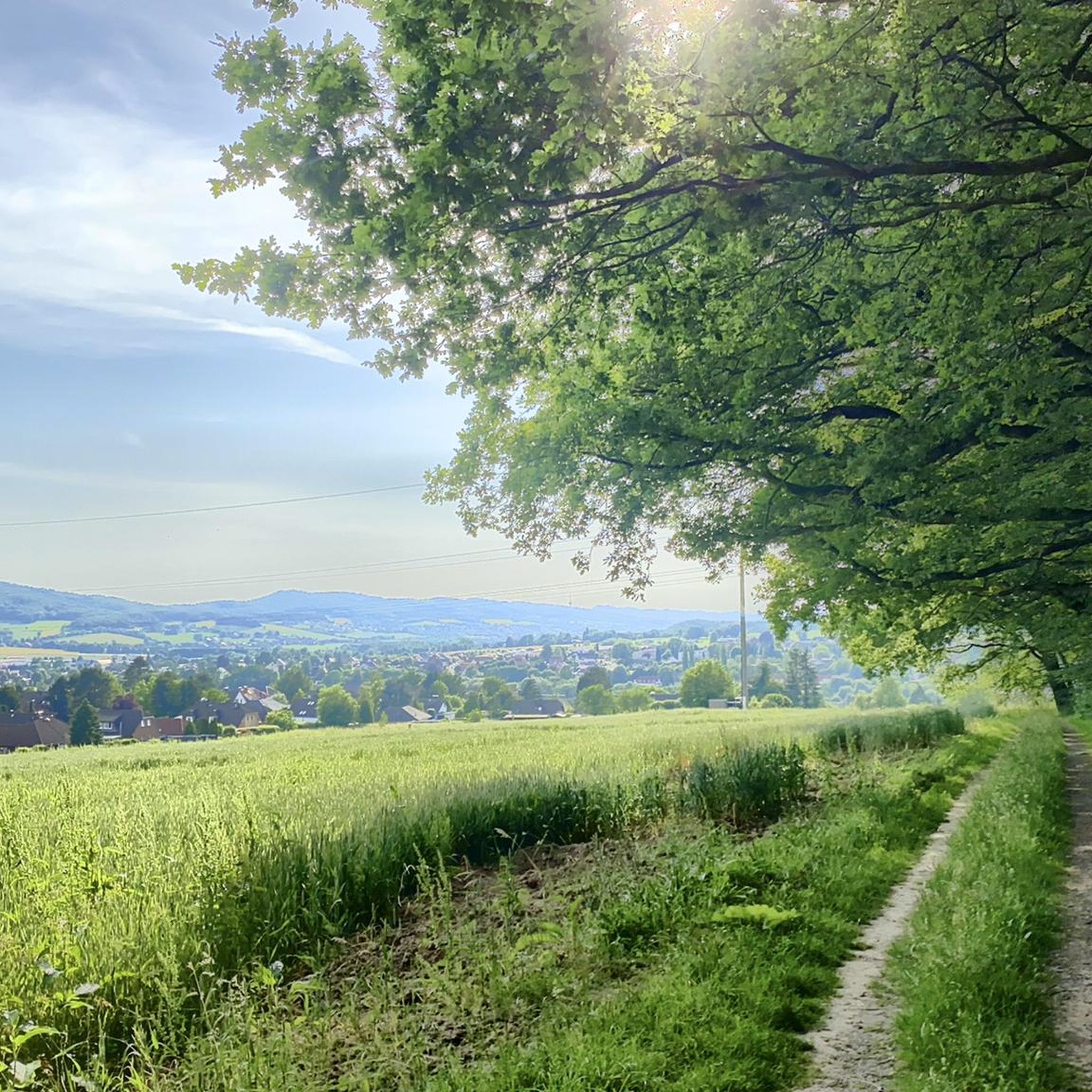
슈타인베르겐에서 바트 아일젠 방향의 숲으로 약 30분 정도 걸어가면 오른쪽에 작은 물방앗간이 있습니다. 그런 다음 언덕을 올려다보면 작은 집을 찾을 수 있습니다. 전쟁 중에 피난처로 사용되었던 곳입니다. 그곳은 가파르지만 가볼 만한 가치가 있습니다. 이 지역에는 멧돼지가 매우 많습니다 (오벨릭스라면 틀림없이 기뻐할 것입니다). 투어 즐겁게 보내세요. 길을 계속 가면 약 40분 후에 갈림길이 나옵니다. 오른쪽은 바트 아일젠 방향(약간 내리막길)이고 왼쪽은 뷕케베르크(쥐세 무터) 방향입니다. 길지만 완만한 오르막길입니다. 거기서부터 뷕케베르크로 계속 갈 수 있습니다.
0
0


The Brandshof shelter is idyllically situated near Wendthagen-Ehlen in the Bückeberg hills and is a popular rest stop and meeting place for hikers, walkers, and nature lovers. Nestled in the wooded, hilly landscape of the Bückeberg, it offers a tranquil spot to linger and relax amidst nature. The shelter is located on several well-maintained hiking trails and is often used as a starting or ending point for tours through the surrounding mixed forests. From here, numerous scenic features of the region can be discovered, including springs, old quarries, and viewpoints overlooking the Schaumburg region. Besides providing shelter from the elements, the Brandshof shelter is also a meeting place: the local tourism association and hiking groups regularly use it for joint events and social gatherings. Thus, the Brandshof shelter uniquely combines experiencing nature, relaxation, and community, and is an integral part of the leisure and hiking opportunities in the Bückeberg.
2
0
Beautiful route that puts you in a good mood!
0
0
The event is based on a running event held by the German Gymnastics Association (DT) until 1934, the run around the Bückeberg, which covered a distance of 15 kilometers. In 1934 and 1935, waste from the Obernkirchen sandstone quarries was used to create a gymnastics area on the Bückeberg with the help of gymnasts from the district's clubs. This was located near the Jahn Tower, but has now been leveled and is no longer visible. The annual mountain gymnastics festivals held on the Bückeberg from 1935 onwards were initially called Jahn memorial gymnastics. The first took place on August 11, 1935. The head gymnastics officer and organizer was Ernst Stahlhut, who set up a mountain gymnastics festival committee. In contrast to most other mountain sports festivals, the events even took place throughout the Second World War with what was described as "extraordinarily good" participation, for example on August 24, 1944. Many of the gymnasts came to Bückeberg directly from the front during their home leave, including the organizer Stahlhut. Source: https://de.wikipedia.org/wiki/Jahn-Bergturnfest
3
0
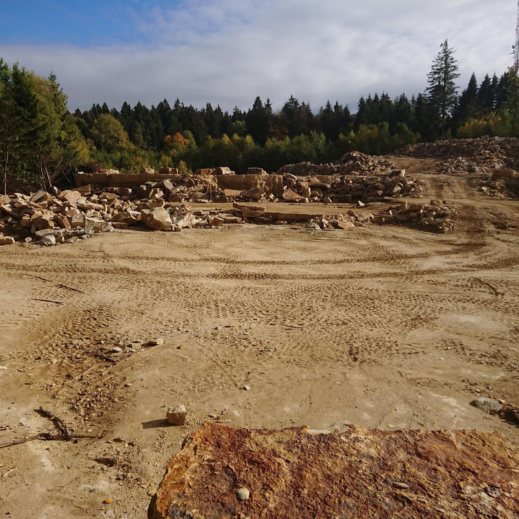
40 years of the Brandshof refuge: 1996 was almost the end. In its 40 years, the Brandshof refuge in Wendthagen has experienced numerous storms and celebrations - and was almost demolished in 1996. At that time, the nearby quarry was to be expanded - but the people of Wendthagen were able to save their hut. Source: https://www.sn-online.de/lokales/schaumburg/stadthagen/40-jahre-schutzhuette-brandshof-1996-waere-fast-schluss-gewesen-4H57KPAEAYEGTQRYGDNSVDRFPI.html
4
0

You can also check your own range here.
3
0
오베른키르헨 주변에서 가장 인기 있는 명소


더 살펴보기
다른 지역의 최고의 러닝 트레일 & 경로를 살펴보세요.
