드라켄부르크 최고의 러닝 경로
4.2
(128)
2,187
달리기 하는 사람
232
러닝
드라켄부르크에서 하이킹하며 니엔부르크/베저 구석 부분까지 살펴볼까요? 드라켄부르크에 있는 모든 하이킹 및 워킹 경로 컬렉션 중 가장 멋진 하이킹 경로를 엄선하여 소개해드릴게요. 다른 하이커가 공유한 실제 팁과 사진을 살펴보고 후기를 읽으며 마음에 드는 드라켄부르크 워킹 경로를 찾아보세요.
마지막 업데이트: 10월 15, 2026
15
달리기 하는 사람
5.84km
00:37
20m
20m
보통 조깅. 좋은 체력 필요. 대부분 포장된 지면. 실력과 관계없이 누구나 갈 수 있음.
14
달리기 하는 사람
16.2km
01:46
30m
30m
어려운 조깅. 우수한 체력 필요. 대부분 포장된 지면. 실력과 관계없이 누구나 갈 수 있음.

7
달리기 하는 사람
5.38km
00:36
10m
10m
보통 조깅. 좋은 체력 필요. 대부분 포장된 지면. 실력과 관계없이 누구나 갈 수 있음.
6
달리기 하는 사람
9.10km
00:58
10m
10m
보통 조깅. 좋은 체력 필요. 대부분 포장된 지면. 실력과 관계없이 누구나 갈 수 있음.
7
달리기 하는 사람
3.96km
00:27
0m
0m
초급용 러닝. 모든 체력 수준에 적합. 대부분 포장된 지면. 실력과 관계없이 누구나 갈 수 있음.
더 다양한 경로와 다른 탐험가들의 추천을 살펴보세요.
이미 komoot 계정이 있나요?
투어 추천은 다른 사람들이 komoot에서 완료한 수천 개의 활동을 바탕으로 구성되어 있습니다.
오늘 무료 계정으로 시작하세요
다음 모험이 기다리고 있어요.

커뮤니티 팁

니엔부르크에서 가장 오래된 집은 니엔부르크의 클라이네 키르히슈트라세 2번지에 있으며, 성 마틴 교회 바로 옆에 있습니다. 약 1490-1500년에 지어졌으며 교회를 둘러싼 초기 건물에 속합니다.
2
0


The former manor house served as a royal post station on the Hanover-London route until 1860. It housed, among other things, the Elector's and later the Royal Hanoverian Post Office, including a postmaster's office, post station, and horse-changing station. Since its restoration in 1977, it has housed the city library. The carillon mounted on the side plays the song "The Little Nienburg Girl" several times a day.
1
0
Nienburg's oldest house stands at Kleine Kirchstraße 2, right next to St. Martin's Church. It was built around 1490-1500 and is part of the original development surrounding the church. Its slightly crooked appearance is not without reason, as naturally grown oak beams had to be used for economic reasons at the time, and so the inhabitants quite naturally lived on a sloping floor. This is still visible from the outside today, as the house's basic structure has been preserved. Also, almost nothing has changed in the surrounding area. The unique location next to the chancel of St. Martin's Church prevented any alterations. In and around the house, one can easily imagine oneself transported back to a time over 500 years ago. At that time, castles were being replaced by urban fortresses, and Nienburg became the strongest fortress in the Middle Weser region. It was the time of Copernicus, Columbus, Riemenschneider, Dürer, and Leonardo da Vinci, who was competing with Michelangelo in Italy and had just completed what is now the world's most famous painting, the Mona Lisa. Humanity still believed it lived on a flat surface and could only feel somewhat safe behind fortress walls. Source: https://www.pension-st-martin.de/Wie-alles-begann
1
0

@DakenH There were/are also eel slugs on the Rhine. One is located (used for scientific purposes) in the Rhine near Rees.
5
2

The Posthof was built around 1560. Formerly the Burgmannshof, it now houses the city library.
0
0

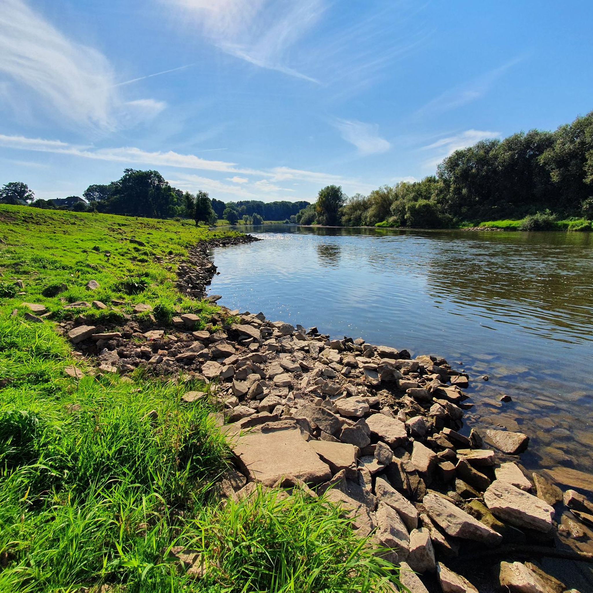
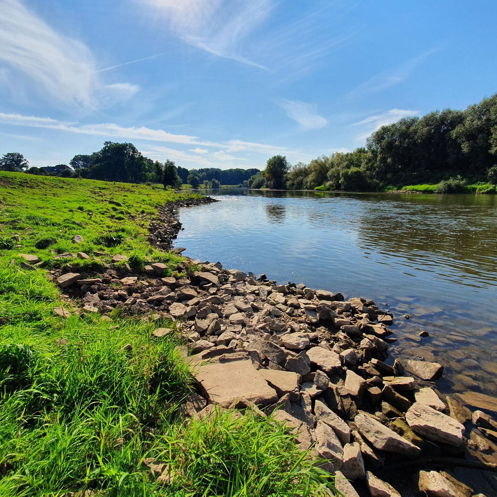
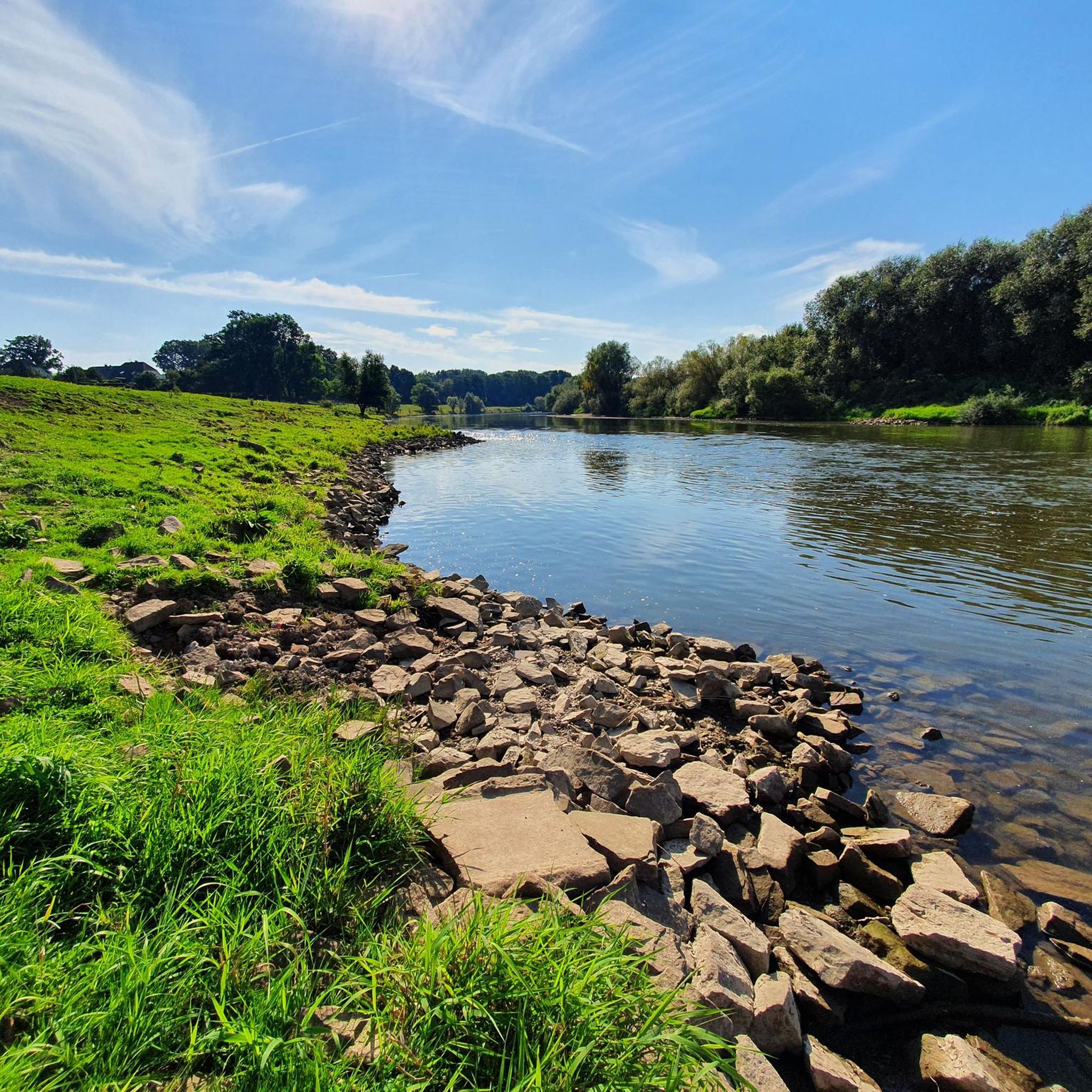
Near Haßbergen, there are a few fish ponds directly on the Weser River. A rest here is certainly a pleasant experience. A wonderful idyll, a relaxed atmosphere.
3
0
Great view of the Weser.
4
2
드라켄부르크 주변에서 가장 인기 있는 명소


더 살펴보기
다른 지역의 최고의 러닝 트레일 & 경로를 살펴보세요.
