사용 최고의 등산 경로
5.0
(3)
9
등산객
3
하이킹
사용에서 하이킹하며 호흐타우누스크라이스 구석 부분까지 살펴볼까요? 사용에 있는 모든 하이킹 및 워킹 경로 컬렉션 중 가장 멋진 하이킹 경로를 엄선하여 소개해드릴게요. 다른 하이커가 공유한 실제 팁과 사진을 살펴보고 후기를 읽으며 마음에 드는 사용 워킹 경로를 찾아보세요.
마지막 업데이트: 10월 18, 2026
1
등산객
보통 등산 코스. 좋은 체력 필요. 대부분 갈 수 있는 길. 미끄러지지 않게 조심해야 함.
5.0
(2)
4
등산객
11.4km
03:39
480m
480m
보통 등산 코스. 좋은 체력 필요. 대부분 갈 수 있는 길. 미끄러지지 않게 조심해야 함.

5.0
(1)
4
등산객
4.47km
01:47
300m
300m
보통 등산 코스. 모든 체력 수준에 적합. 대부분 갈 수 있는 길. 미끄러지지 않게 조심해야 함.
3.45km
01:09
160m
160m
보통 등산 코스. 모든 체력 수준에 적합. 대부분 갈 수 있는 길. 미끄러지지 않게 조심해야 함.
3
등산객
8.38km
02:35
300m
300m
보통 등산 코스. 좋은 체력 필요. 대부분 갈 수 있는 길. 미끄러지지 않게 조심해야 함.
투어 추천은 다른 사람들이 komoot에서 완료한 수천 개의 활동을 바탕으로 구성되어 있습니다.
오늘 무료 계정으로 시작하세요
다음 모험이 기다리고 있어요.
사용 주변 인기 장소

Delightfully scenic hiking in the Taunus range
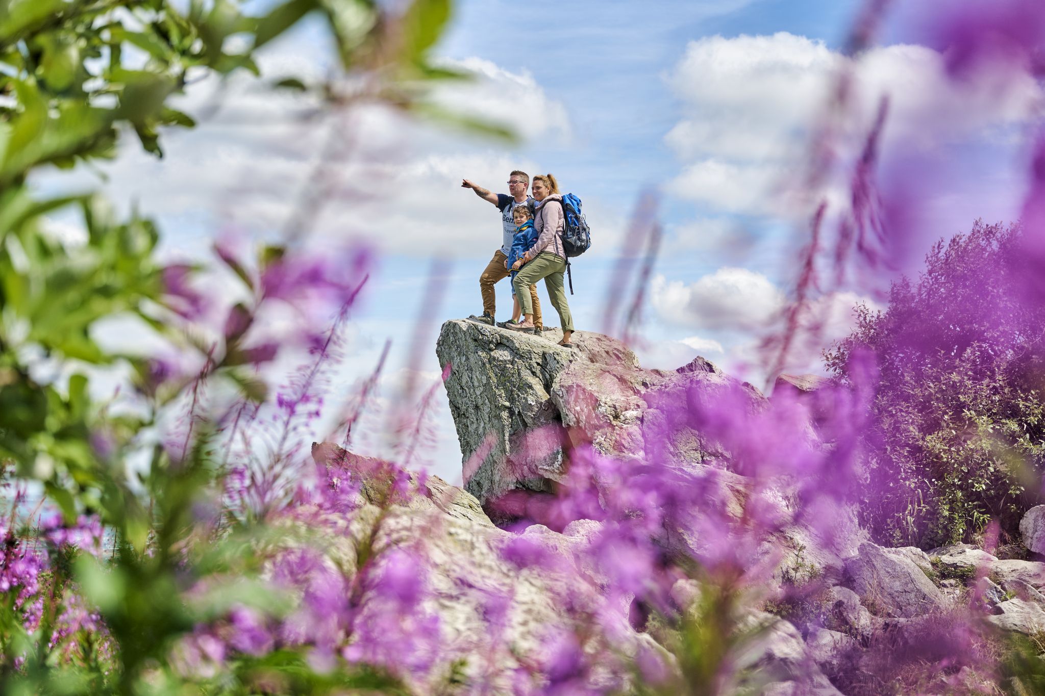
History, forest and gnomes – hiking in Germany’s Hochtaunus region

Spring is here – hiking with family by bus & train in Rhine-Main
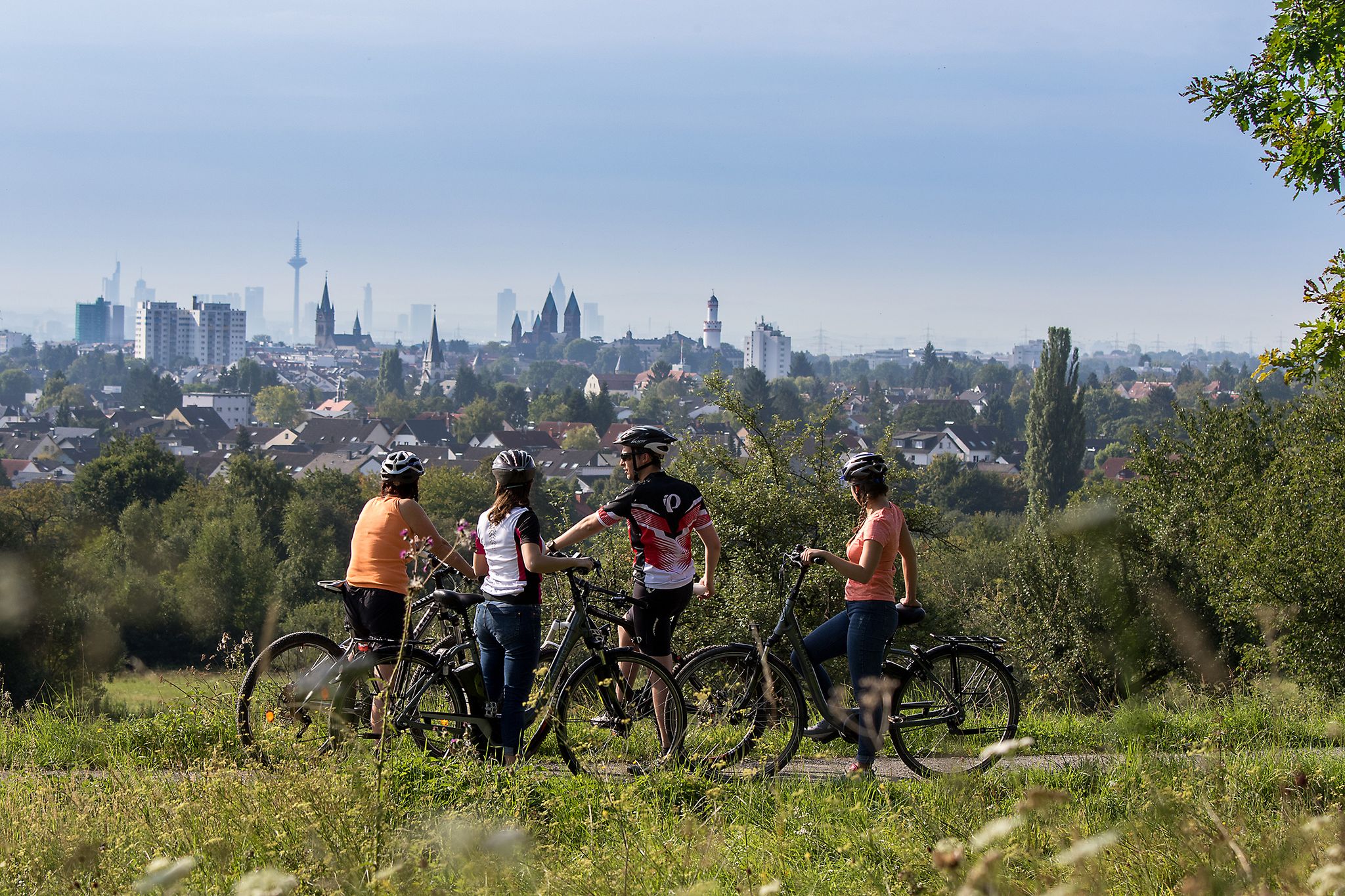
From safari to world heritage — cycling tours in the Taunus region
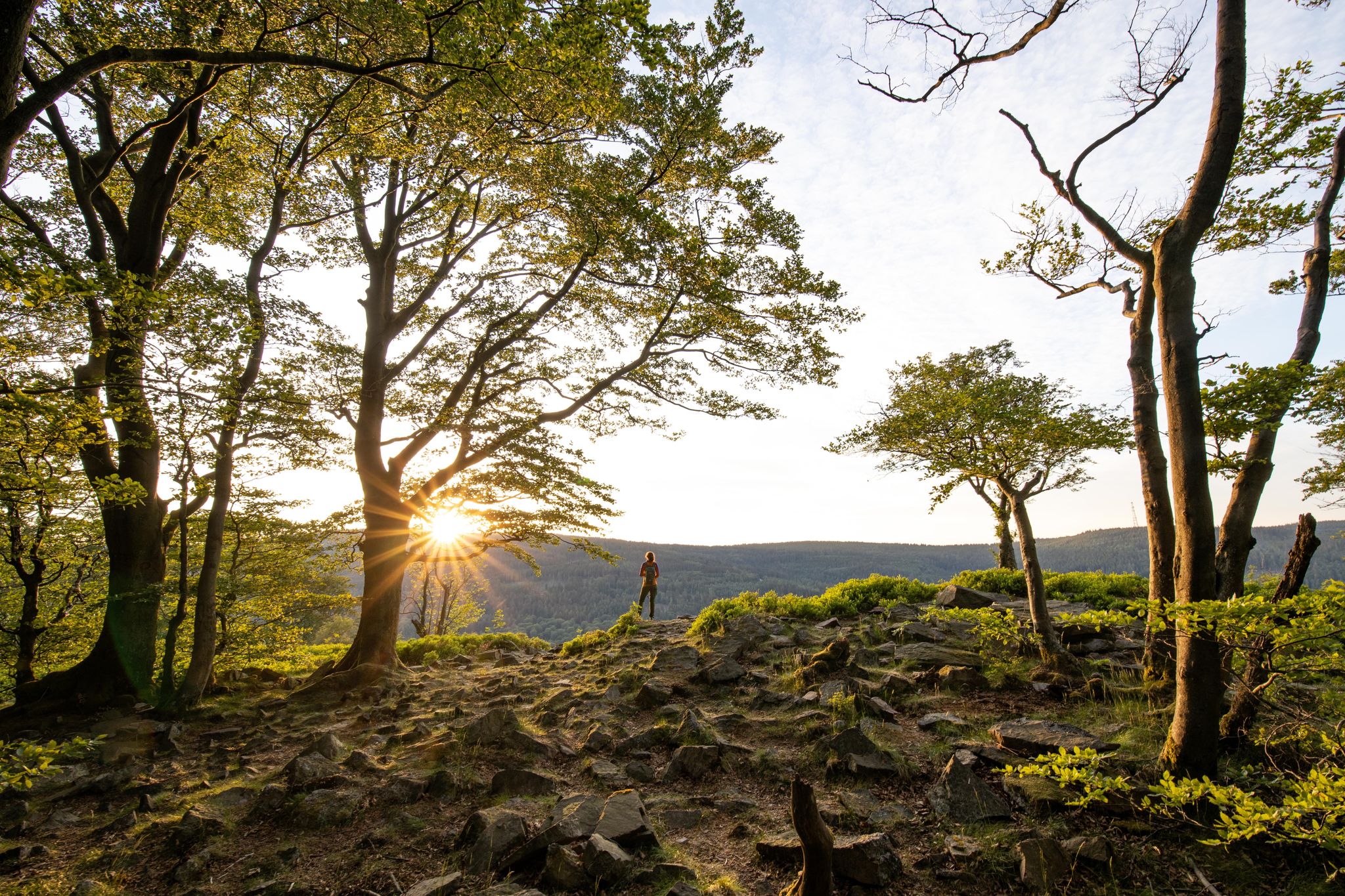
Deep valleys and airy heights – the most beautiful hikes in the Taunus in Germany
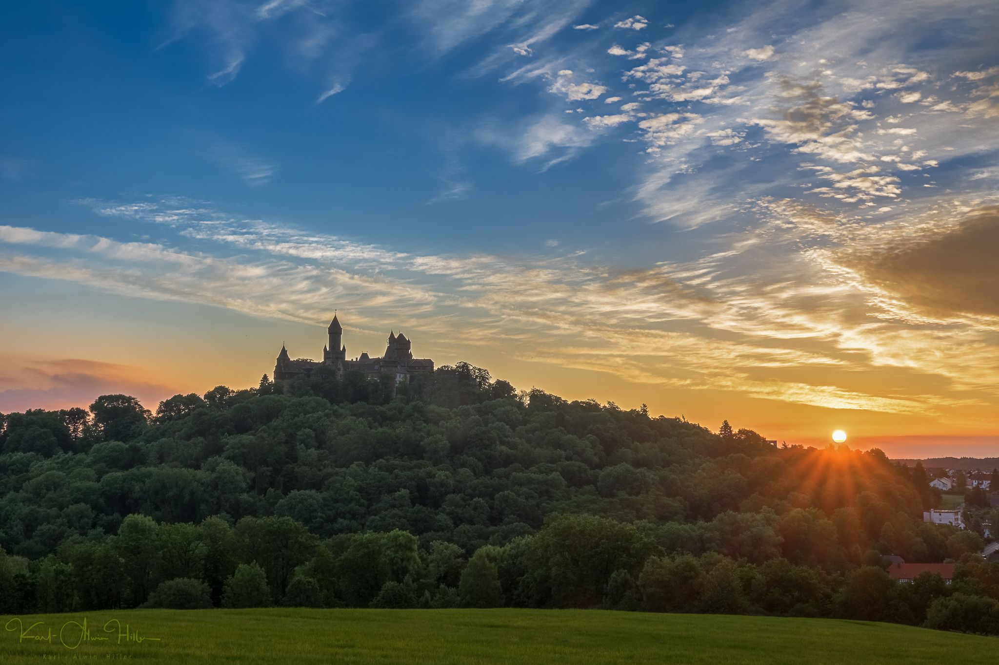
A journey through time – the most beautiful routes in the Taunus Nature Park
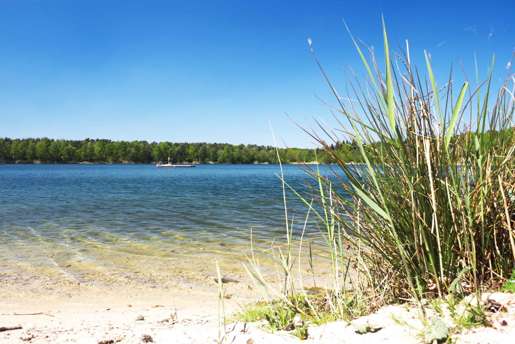
The best swimming lakes around Frankfurt
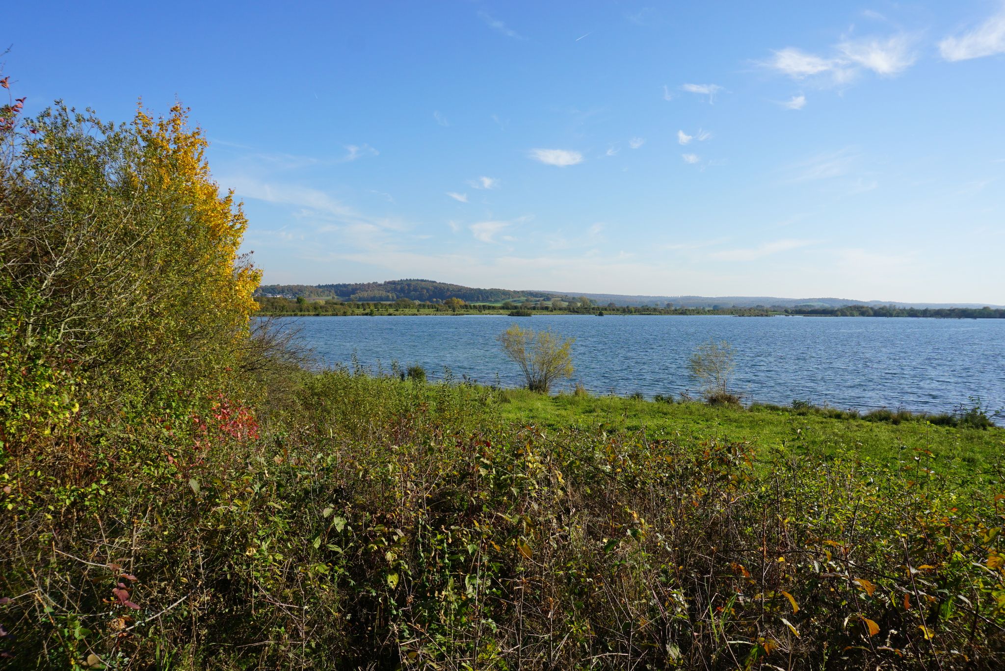
Pack die Badehose ein! – Mit Rad und Öffis zu den schönsten Seen im RMV-Gebiet
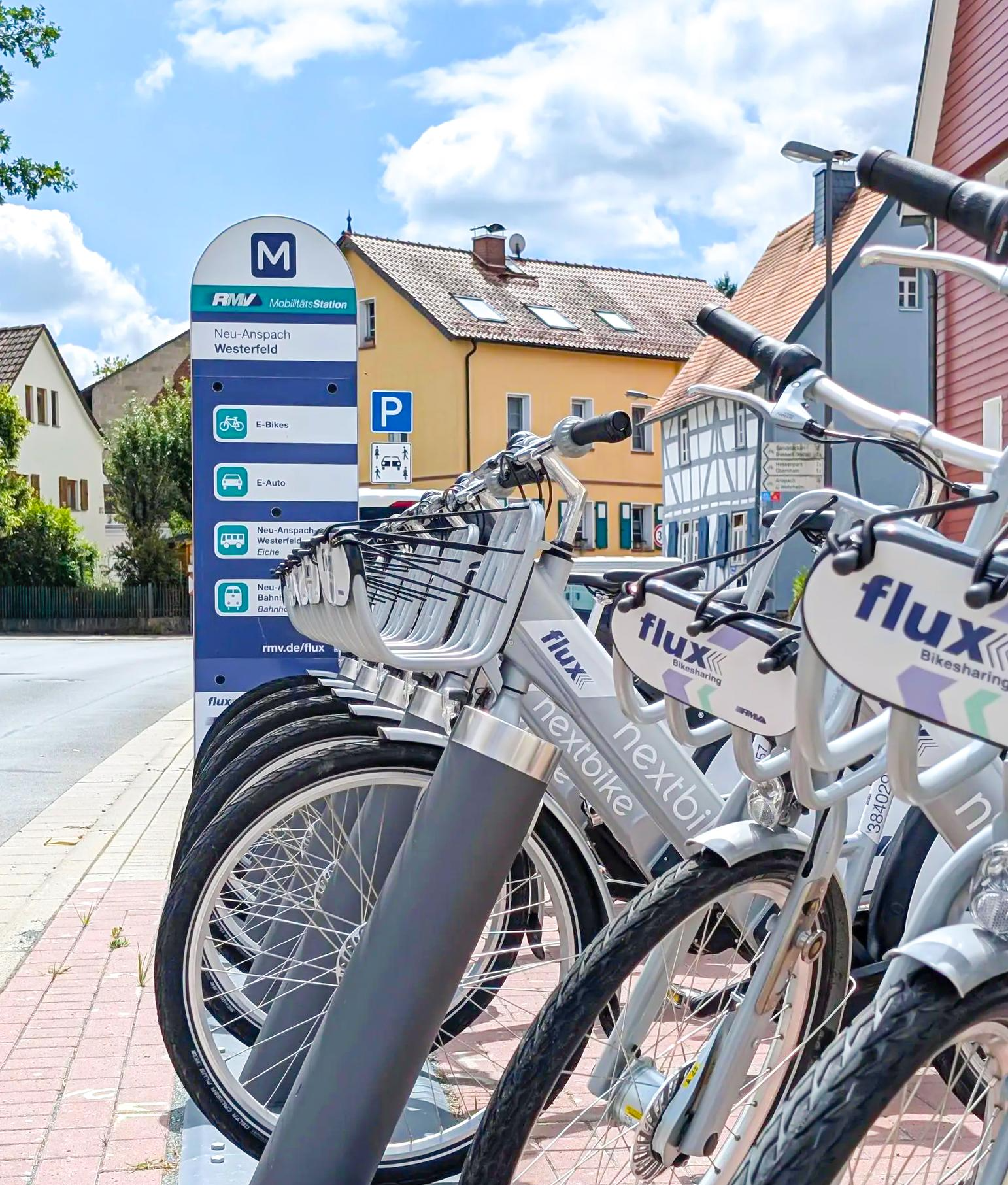
Mit flux & Bahn – Radtouren im Usinger Land
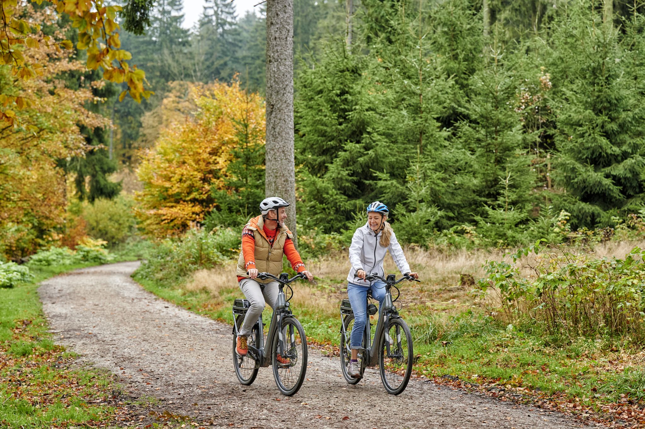
Radfahren im Taunus – Auspowern, genießen, entdecken
사용 주변의 다른 모험


커뮤니티 팁


Komoot's automatic renaming of highlights is driving me crazy 😖 "Swampy Ski Slope"—what's with this nonsense??? Unfortunately, this is an isolated incident!
0
0

The White Wall in the Taunus Mountains is a quartzite field formed during the Ice Age on the Altkönig mountain by frost weathering. It lies at a maximum elevation of 634 meters above sea level [1] near Oberursel in the Hochtaunus district of Hesse. The area is designated as a nature reserve 🤩
14
0

Sneakers not recommended, surefootedness and stability are required here 🤗
1
1

The mountain rescue station on the Feldberg is an important base for the mountain rescue service, which ensures safety in the surrounding hiking and skiing areas. It is located near the highest point of the Feldberg and serves as a rescue and care station for mountain accidents. Hikers and skiers can receive help here in an emergency, and the station is also a contact point for the mountain rescue service, which is regularly active in the region.
7
0
The summit offers a great panoramic view all the way to Frankfurt. Take your time to explore the remains of the Celtic ramparts. The climb is worth it in good weather for a break with a great view.
7
0


더 살펴보기
다른 지역의 최고의 산악 하이킹 & 경로를 살펴보세요.
