앙게르문데 최고의 러닝 경로
4.7
(51)
572
달리기 하는 사람
64
러닝
앙게르문데에서 하이킹하며 우커마크 구석 부분까지 살펴볼까요? 앙게르문데에 있는 모든 하이킹 및 워킹 경로 컬렉션 중 가장 멋진 하이킹 경로를 엄선하여 소개해드릴게요. 다른 하이커가 공유한 실제 팁과 사진을 살펴보고 후기를 읽으며 마음에 드는 앙게르문데 워킹 경로를 찾아보세요.
마지막 업데이트: 7월 10, 2026
6
달리기 하는 사람
5.89km
00:41
50m
50m
보통 조깅. 좋은 체력 필요. 대부분 갈 수 있는 길. 일부 구간에서 미끄러지지 않게 조심해야 함.
5.0
(5)
69
달리기 하는 사람
17.1km
01:57
120m
120m
어려운 조깅. 우수한 체력 필요. 대부분 포장된 지면. 실력과 관계없이 누구나 갈 수 있음.

무료 회원 가입
5.0
(5)
65
달리기 하는 사람
21.0km
02:27
180m
180m
어려운 조깅. 우수한 체력 필요. 대부분 포장된 지면. 실력과 관계없이 누구나 갈 수 있음.
4.6
(11)
73
달리기 하는 사람
10.3km
01:04
50m
50m
보통 조깅. 좋은 체력 필요. 대부분 포장된 지면. 실력과 관계없이 누구나 갈 수 있음.
4.5
(11)
68
달리기 하는 사람
8.46km
00:53
40m
40m
보통 조깅. 좋은 체력 필요. 대부분 포장된 지면. 실력과 관계없이 누구나 갈 수 있음.
더 다양한 경로와 다른 탐험가들의 추천을 살펴보세요.
무료 회원 가입
이미 komoot 계정이 있나요?
투어 추천은 다른 사람들이 komoot에서 완료한 수천 개의 활동을 바탕으로 구성되어 있습니다.
오늘 무료 계정으로 시작하세요
다음 모험이 기다리고 있어요.
로그인 또는 가입하기
앙게르문데 주변 인기 장소
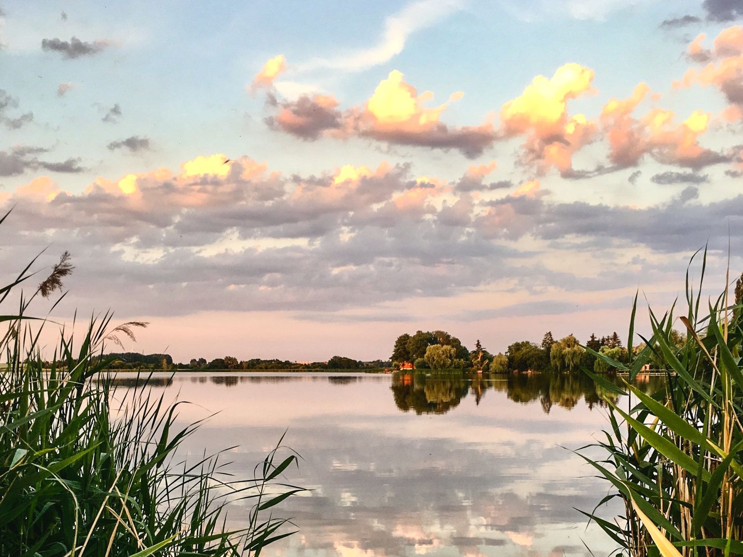
Uckermärker Landrunde — Hiking in the Uckermark over 9 stages: open countryside & quiet nature
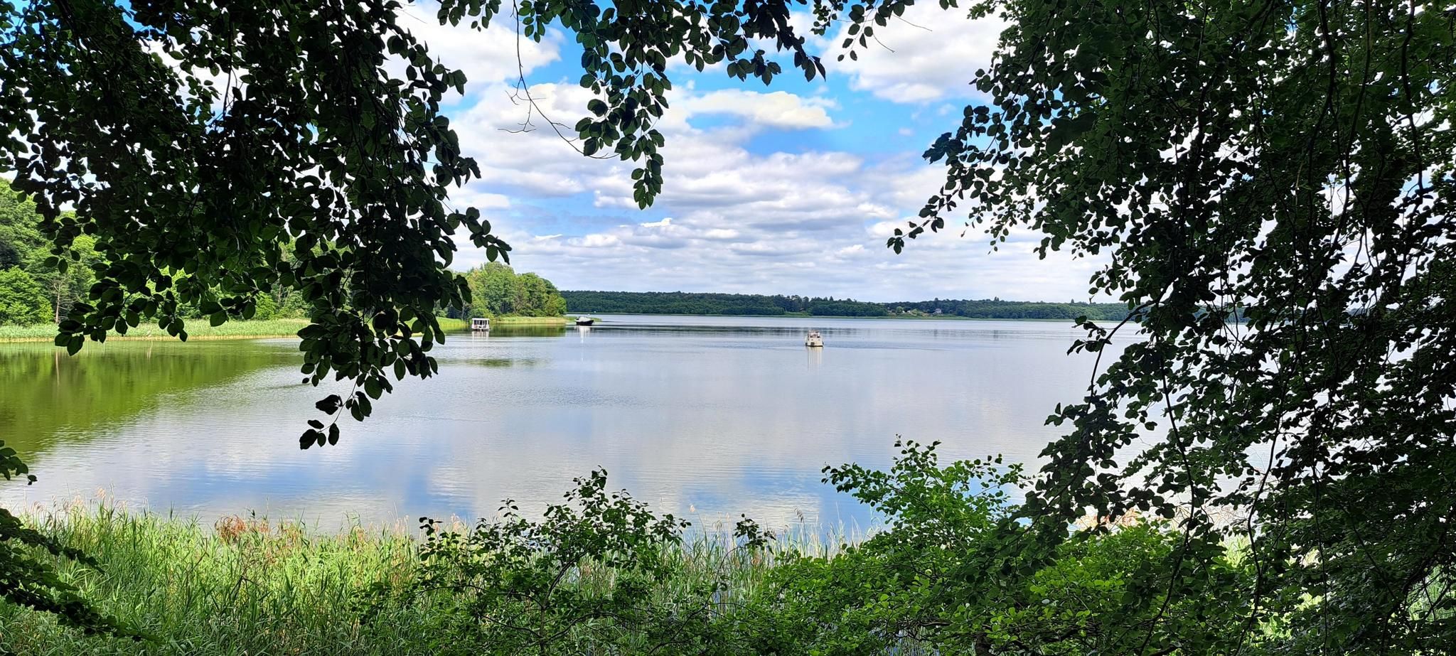
브란덴부르크의 국가 자연 경관
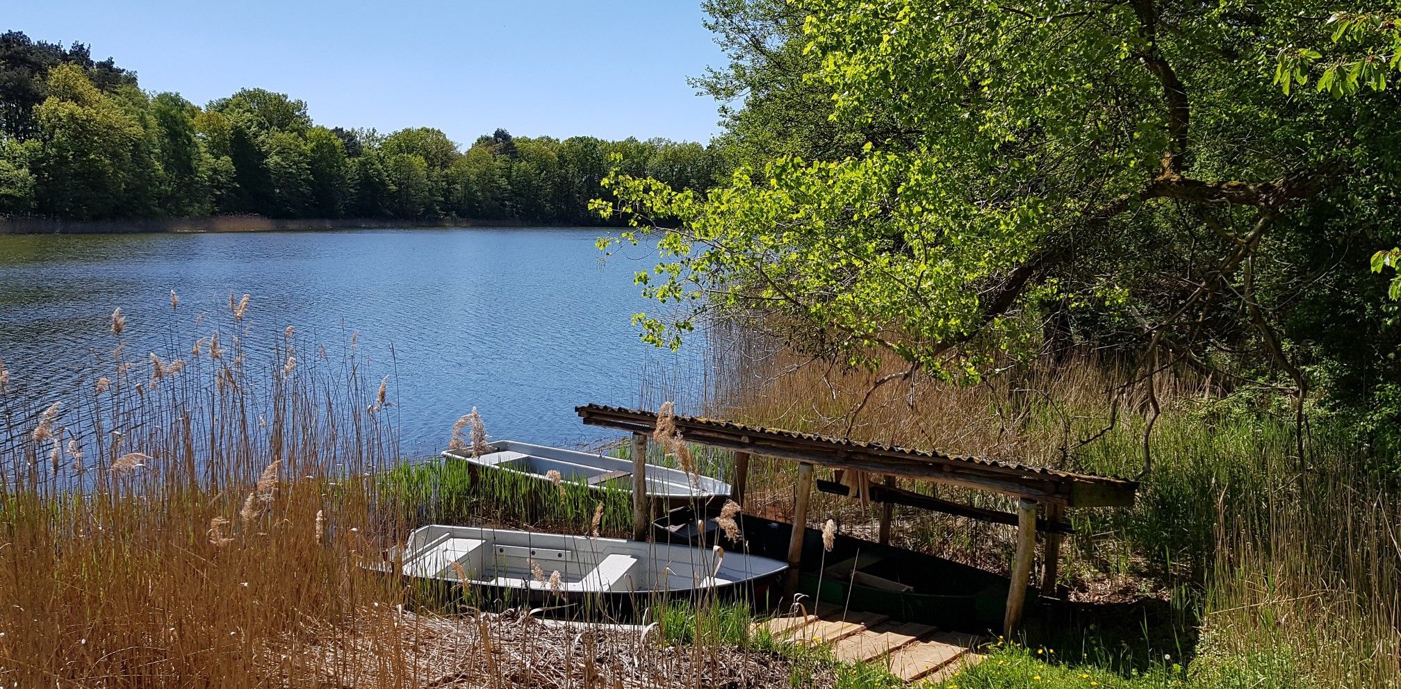
북부 독일의 우커마르크를 탐험하세요 - 매크이셔 랜드베그
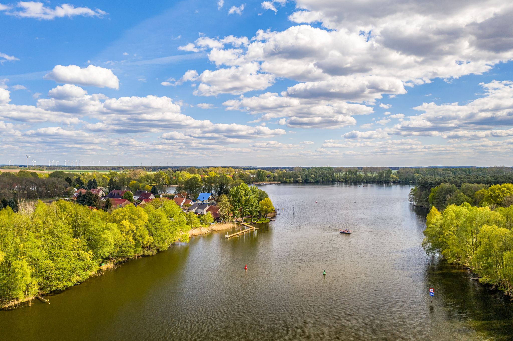
Rivers, lakes, & endless countryside – cycling through Brandenburg
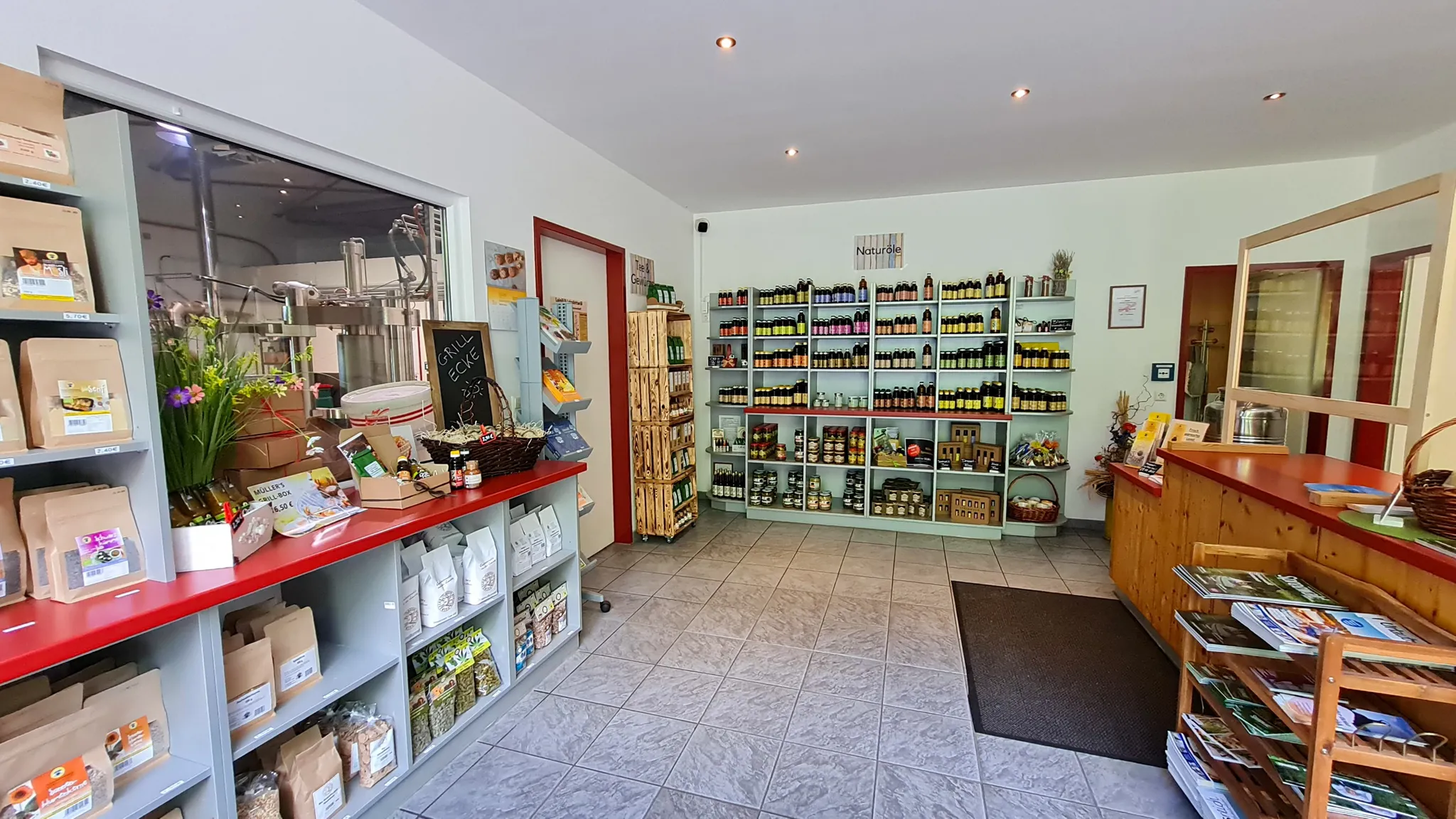
브랜덴부르크의 농장 가게
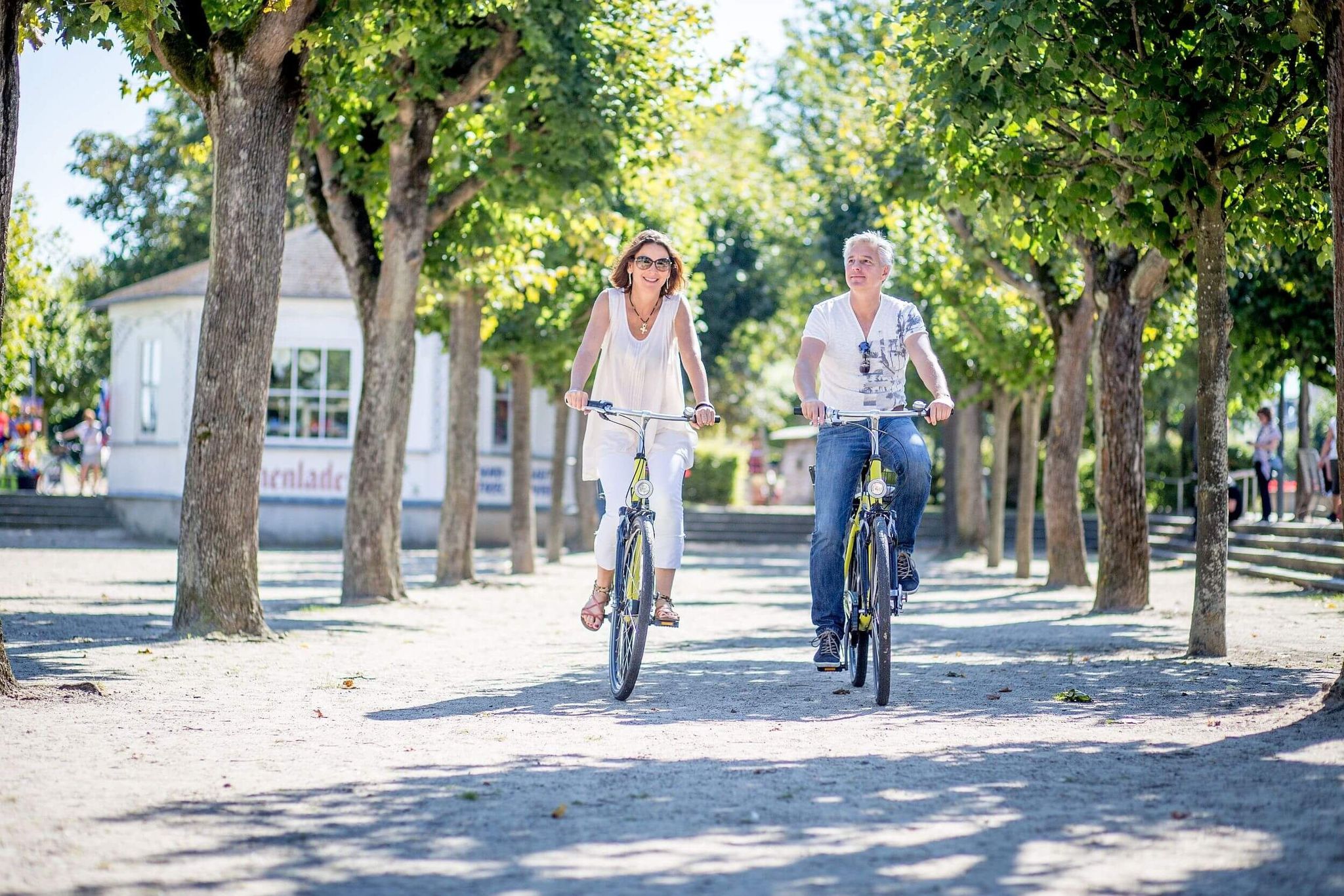
Radfernweg Berlin-Usedom: Vielfalt zwischen Metropole und Meer
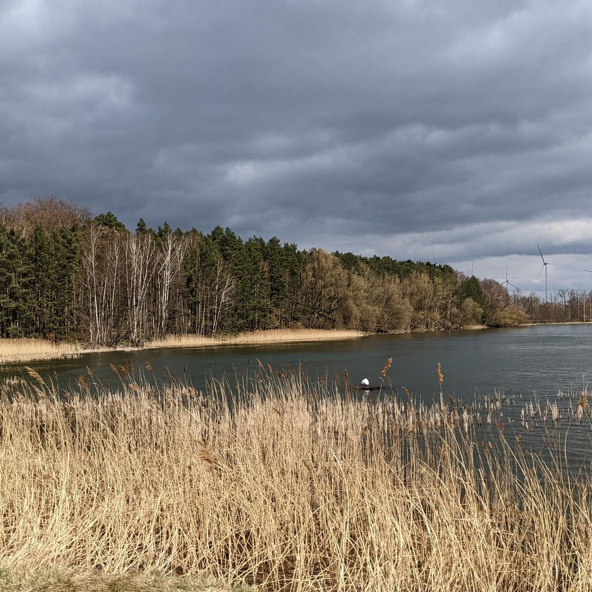
앙게르문데 하이킹
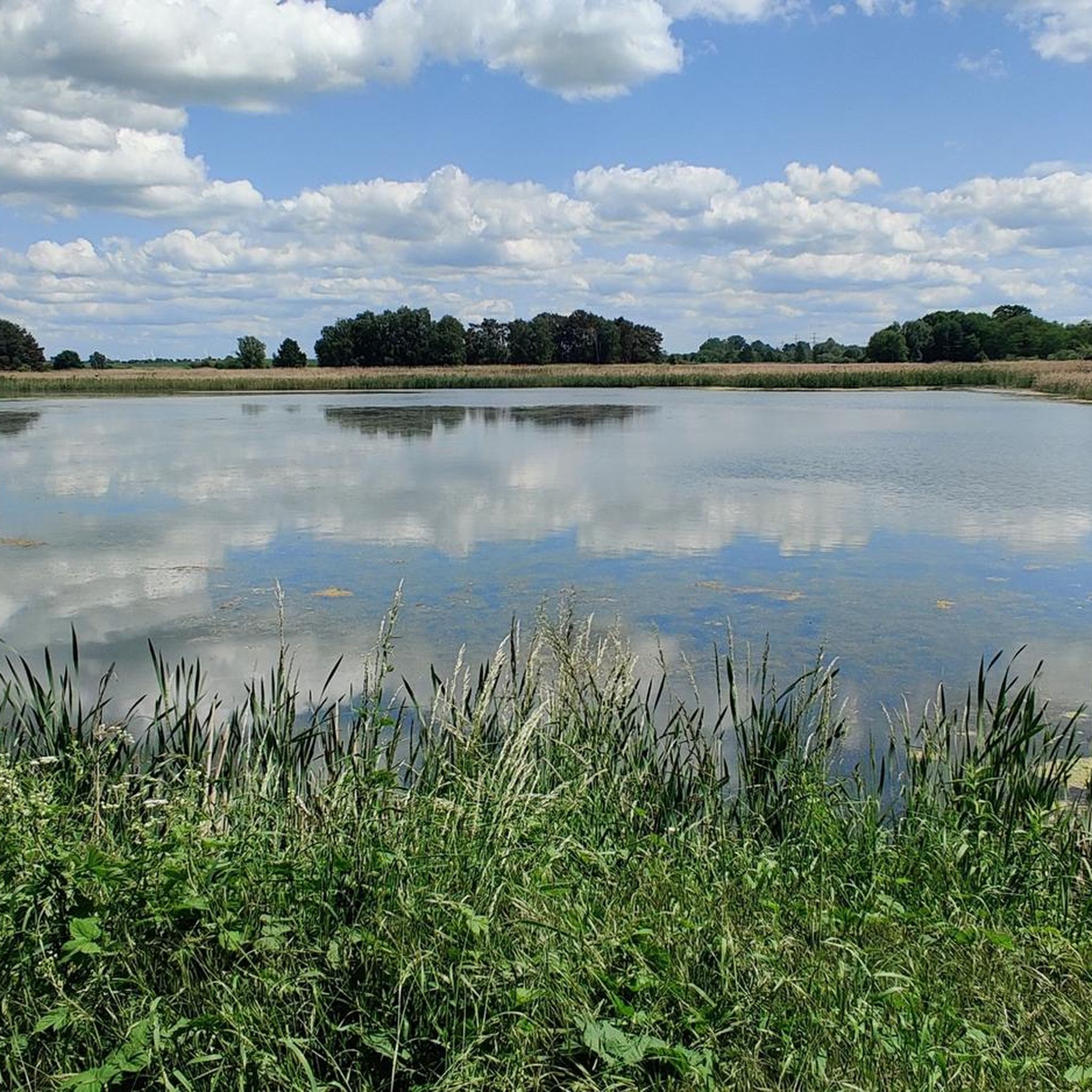
앙게르문데 사이클링
앙게르문데 로드 사이클링 경로
앙게르문데 MTB 트레일
앙게르문데 주변의 다른 모험


커뮤니티 팁


There is also an information board here.
0
0

The Seetor (Sea Gate) was part of Angermünde's medieval town fortifications. It was the smallest of the four town gates and allowed citizens access to the adjacent meadows and pastures, as well as to fish on the Mündesee lake to the north. The Seetor is featured in Angermünde's coat of arms. According to legend, the Margraves of Brandenburg were hunting in the area around Angermünde and were driving a stag before them. The stag tried to escape by jumping into the Mündesee. It crossed the lake and the Seetor, but was still killed by a hunter. Source: https://de.wikipedia.org/wiki/Seetor_(Angerm%C3%BCnde)
0
0

It's only open Wednesday to Sunday. But at least there are restrooms nearby, apparently, because they're specifically indicated.
0
0

Nestled in the hilly forest landscape on the edge of the UNESCO Schorfheide-Chorin Biosphere Reserve, the seven-kilometer-long Wolletzsee lies just outside Angermünde. The clear lake, up to 18 meters deep, is fed by the Welse and is a popular destination for bathers, divers and anglers. A 16.5-kilometer-long hiking trail leads around the lake and offers a variety of impressions. Steep shores are lined with old beech forests, while meadows and fields stretch out in other places. The stilt houses on the south and east banks are particularly interesting—allotments that are not on the water, but on it. The path on the north bank is pleasant to walk and offers quiet sections for relaxation. A paradise for amateur photographers with picturesque motifs opens up along the Welse. From various points you have beautiful views of the lake and the surrounding area. A detour to the Wolletzsee is worthwhile at any time of year. The combination of water, forest and hilly landscape creates a special atmosphere that invites you to linger. If you want, you can refresh yourself in the clear water and enjoy nature to the fullest.
0
0

A diamond stone is walled into the southwest corner of the church
6
0
A diamond-shaped stone is embedded in the southwest corner of the church.
4
0
The rectangular fieldstone church of Dobberzin dates from the middle of the 13th century. It is a simple hall church made of fieldstone blocks, which have been largely preserved in their original condition.
7
0
앙게르문데 주변에서 가장 인기 있는 명소


더 살펴보기
다른 지역의 최고의 러닝 트레일 & 경로를 살펴보세요.
