도나우스타우프 최고의 러닝 경로
4.6
(44)
1,191
달리기 하는 사람
65
러닝
도나우스타우프에서 하이킹하며 레겐스부르크 구석 부분까지 살펴볼까요? 도나우스타우프에 있는 모든 하이킹 및 워킹 경로 컬렉션 중 가장 멋진 하이킹 경로를 엄선하여 소개해드릴게요. 다른 하이커가 공유한 실제 팁과 사진을 살펴보고 후기를 읽으며 마음에 드는 도나우스타우프 워킹 경로를 찾아보세요.
마지막 업데이트: 8월 20, 2026
4.0
(3)
103
달리기 하는 사람
10.1km
01:09
240m
240m
보통 조깅. 좋은 체력 필요. 대부분 포장된 지면. 실력과 관계없이 누구나 갈 수 있음.
61
달리기 하는 사람
5.58km
00:35
30m
30m
보통 조깅. 좋은 체력 필요. 대부분 포장된 지면. 실력과 관계없이 누구나 갈 수 있음.

무료 회원 가입
5.0
(1)
67
달리기 하는 사람
32.7km
03:26
90m
90m
어려운 조깅. 우수한 체력 필요. 대부분 포장된 지면. 실력과 관계없이 누구나 갈 수 있음.
5.0
(2)
39
달리기 하는 사람
17.8km
02:02
320m
320m
어려운 조깅. 우수한 체력 필요. 튼튼한 신발을 신고 미끄러지지 않게 조심해야 하며, 높은 산을 오른 경험이 있어야 함.
5.0
(3)
46
달리기 하는 사람
10.00km
01:07
70m
80m
보통 조깅. 좋은 체력 필요. 대부분 포장된 지면. 실력과 관계없이 누구나 갈 수 있음.
더 다양한 경로와 다른 탐험가들의 추천을 살펴보세요.
무료 회원 가입
이미 komoot 계정이 있나요?
투어 추천은 다른 사람들이 komoot에서 완료한 수천 개의 활동을 바탕으로 구성되어 있습니다.
오늘 무료 계정으로 시작하세요
다음 모험이 기다리고 있어요.
로그인 또는 가입하기
커뮤니티 팁

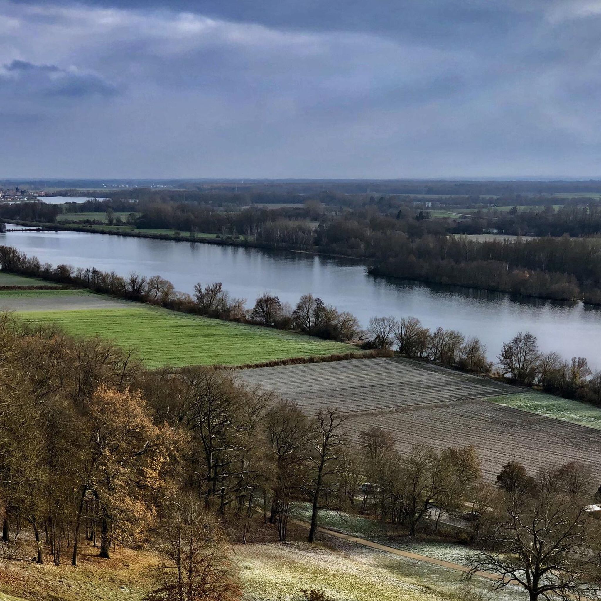
Donaustauf의 발할라는 바이에른에서 가장 인상적인 기념물 중 하나입니다. 도나우 강 위 높은 곳에 위치하며 멀리서도 보입니다. 그리스 신전 양식의 신고전주의 건축물은 19세기 루트비히 1세에 의해 건립되었으며 독일에서 가장 중요한 국가 기념물 중 하나입니다. 약 350개의 계단을 오르는 것은 운동이 되지만 절대적으로 가치가 있습니다. 위에서는 도나우 강과 괴우보덴의 멋진 파노라마 전망을 감상할 수 있습니다. 특히 일몰 시에는 하이라이트입니다. 내부에는 괴테나 실러와 같은 유명 인사들의 100개가 넘는 대리석 흉상이 있는 명예의 전당이 있습니다. 단지는 넓고 잘 관리되어 있으며 사진 촬영이나 짧은 나들이에 이상적입니다. 하이라이트: 기념비적인 건축물과 전망의 조화. 결론: 레겐스부르크 지역의 필수 방문지. 팁: 이른 아침이나 저녁에 오세요. 방문객이 적고 최고의 빛을 즐길 수 있습니다.
2
0

어느 쪽에서 올라가든... 멋진 전망입니다. 하지만 발할라 자체도 가볼 만합니다. 입장료 5유로는 괜찮습니다 🙃🙏
2
0
Pretty little church with a great view.
1
0

Yes, you can drive up to the parking lot. Cycling is prohibited beyond the monument and all the way around it! The view and the insight into history are impressive. Especially the short construction time of only 12 years.
7
0

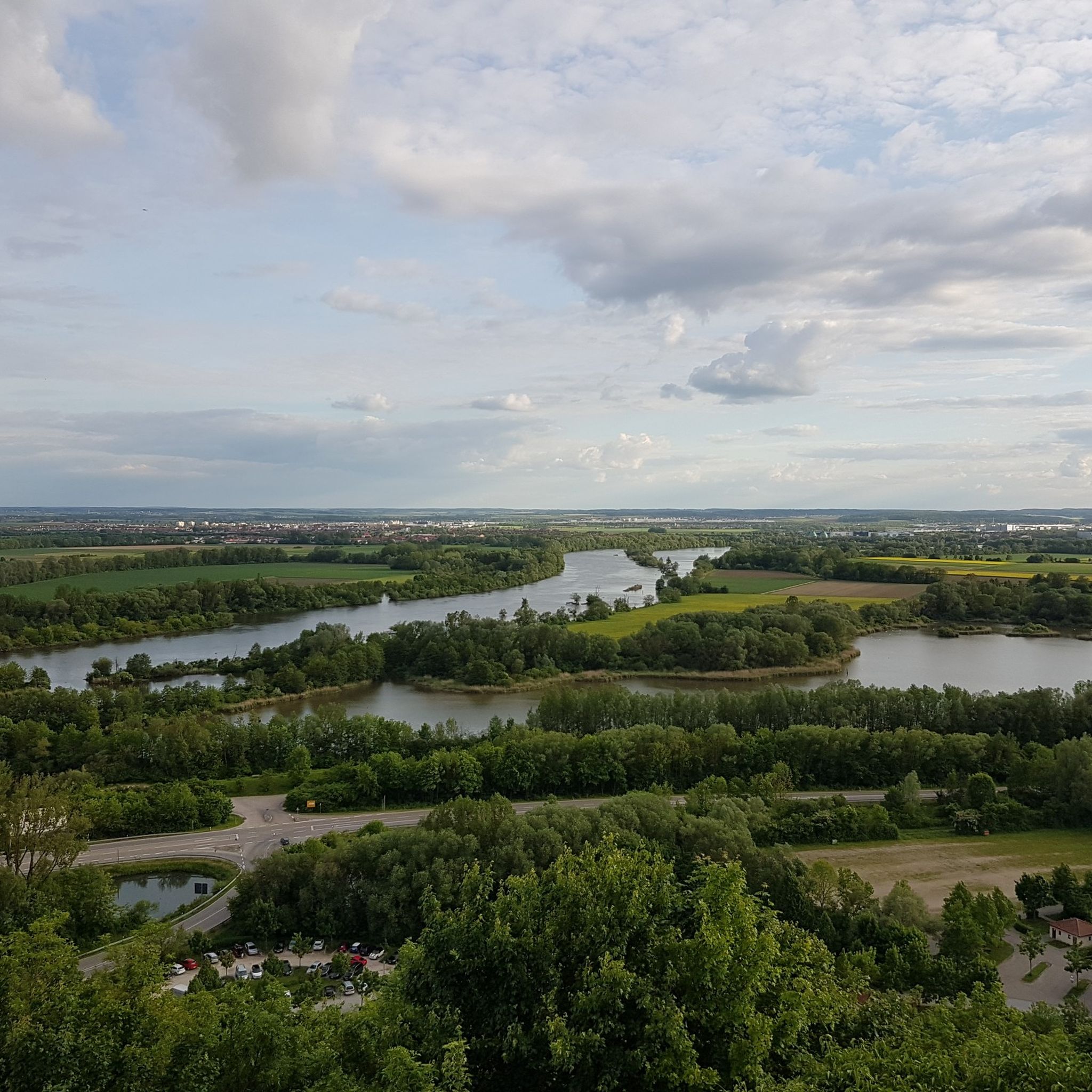
Walhalla near Donaustauf offers a sweeping view of the Danube and the surrounding landscape. From its elevated position, the river is clearly visible as it winds through the plain. The banks are lined with forests and fields, forming a diverse cultural landscape. On clear days, the view extends far into the Danube plain. The view is framed by the architecture of the neoclassical temple building, creating a striking connection between the building and the river landscape.
1
0

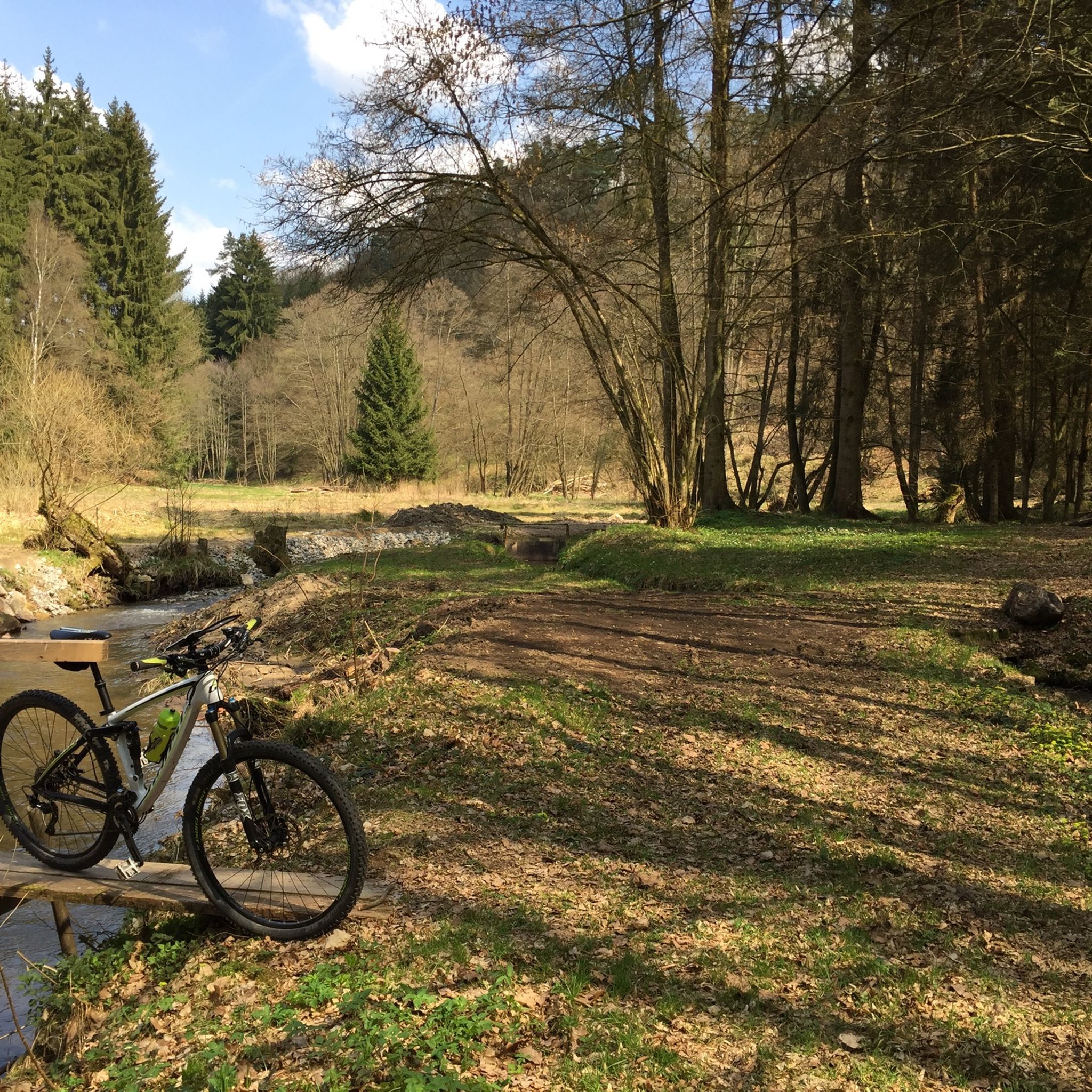
The Otterbach The Otterbach originates in the church village of Süssenbach, in the municipality of Wald in the Chams district, at approximately 477 m above sea level, through the confluence of the Weismühlbach and Steinbach streams. From there, it flows steadily southwestward, initially also called the Süssenbach, in loops that are particularly wide at the beginning. After passing through about a dozen smaller villages in Wald, it crosses the border into the Regensburg district and enters the municipality of Altenthann, passing through the village of Forstmühle there, and then flows northwest past the large, unincorporated forest area of the Forstmühle Forest. It passes successively the Altenthann hamlet of Bruckhäusl on the left bank, its church village of Heuweg on the right bank and on the heights above the valley, the village of Oberlichtenwald, which is located on the same bank as the stream, and the village of Unterlichtenwald on the right bank of the estuary in the wide floodplain. There, the most important tributary, the Sulzbach, flows along the other side of the village. Its upper reaches, together with its own course, even exceed the length of the Otterbach main branch up to this point, but contribute about a quarter less to the catchment area. From there, the St. 2145 state road uses the valley. The valley now narrows again between steep forest slopes, and the Otterbach enters the territory of Markt Donaustauf, where it successively passes the isolated villages of Neumühle and Klammer on its banks. The valley then widens into a large field bay, where it flows between the hamlets of Hammermühle and Dachsberg. Before Scheuchenberg, the stream, which ultimately flows almost southward, deviates to the right and southwest, crosses the church village of Sulzbach an der Donau, flows under the St. 2125 state road, which follows the stream, and flows into the Danube on the left after 17 kilometers. A popular hiking trail runs along the stream between Forstmühle and Hammermühle. Source: Excerpts from www.wikipedia.de
2
0

여기에서 매우 아름다운 전망을 볼 수 있습니다
2
1

도나우스타우프 주변에서 가장 인기 있는 명소


더 살펴보기
다른 지역의 최고의 러닝 트레일 & 경로를 살펴보세요.
