도나우스타우프에서 가장 멋진 20개의 천연기념물
천연기념물을 방문하여 도나우스타우프의 아름다운 풍경을 만나보세요. 도나우스타우프에 있는 20
개의 천연기념물과 상세 정보를 살펴본 후에 방문하고 싶은 천연기념물을 다음 모험 계획에 추가해보세요!
마지막 업데이트: 8월 30, 2026
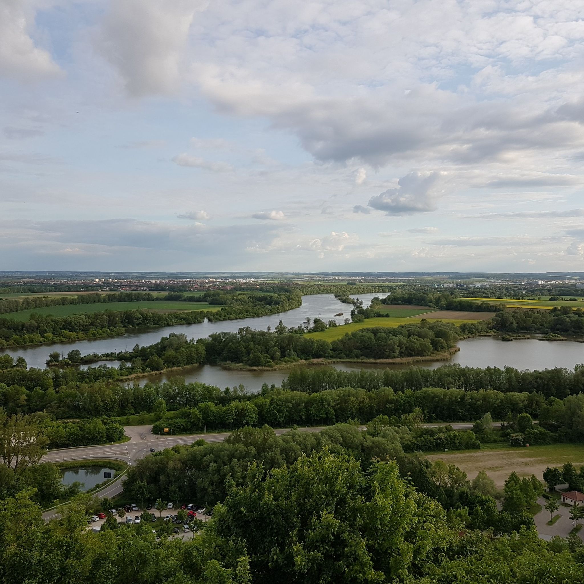
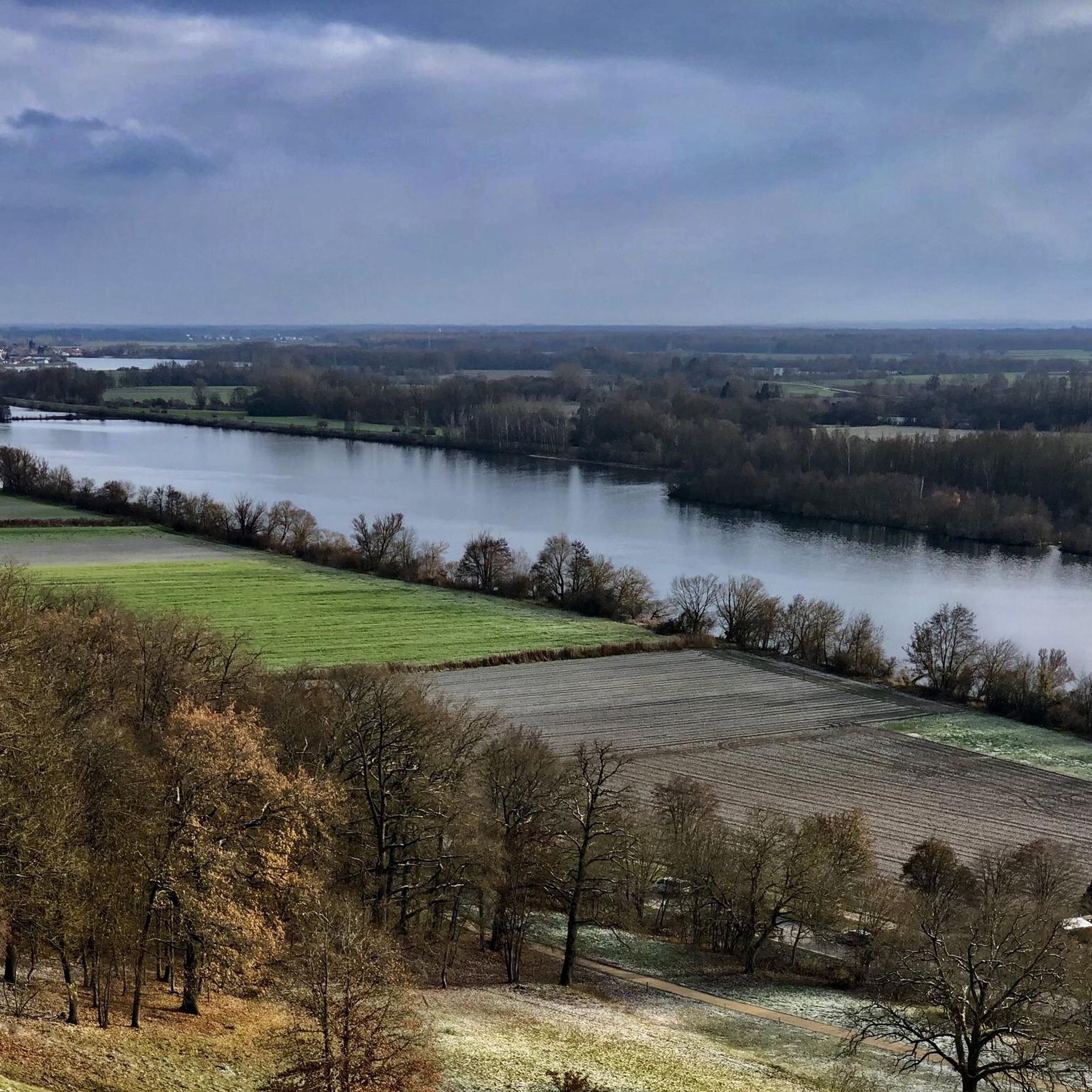
레겐강과 도나우강의 합류점
하이라이트 • 강
번역자 Google •
팁에 의해

레겐스부르크–팔켄슈타인 철도 자전거길 (베른하르츠발트 구간)
하이라이트 • 자전거 도로
번역자 Google •
팁에 의해

이런 장소를 발견하려면 지금 가입하세요
최고의 싱글 트랙, 봉우리 및 다양한 흥미로운 야외 장소에 대한 추천을 받아보세요.
무료 회원 가입
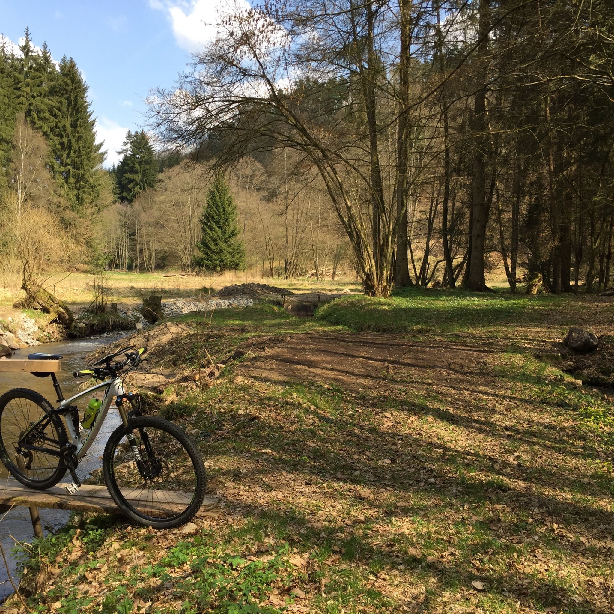
Otterbach 개울
하이라이트 • 강
The trail is easy to drive, even for inexperienced drivers.
For professionals, the way could be a bit boring, with the sporadically placed small bridges are well worth seeing.
번역자 Google •
팁에 의해


Naturpark Oberer Bayerischer Wald의 철도 노선 자전거길
하이라이트 (구간) • 자전거 도로
번역자 Google •
팁에 의해

무료로 가입하여 도나우스타우프 주변의 더 많은 자연 기념물을 발견하세요.
무료 회원 가입
이미 komoot 계정이 있나요?
오늘 무료 계정으로 시작하세요
다음 모험이 기다리고 있어요.
로그인 또는 가입하기
커뮤니티 팁

The Otterbach The Otterbach originates in the church village of Süssenbach, in the municipality of Wald in the Chams district, at approximately 477 m above sea level, through the confluence of the Weismühlbach and Steinbach streams. From there, it flows steadily southwestward, initially also called the Süssenbach, in loops that are particularly wide at the beginning. After passing through about a dozen smaller villages in Wald, it crosses the border into the Regensburg district and enters the municipality of Altenthann, passing through the village of Forstmühle there, and then flows northwest past the large, unincorporated forest area of the Forstmühle Forest. It passes successively the Altenthann hamlet of Bruckhäusl on the left bank, its church village of Heuweg on the right bank and on the heights above the valley, the village of Oberlichtenwald, which is located on the same bank as the stream, and the village of Unterlichtenwald on the right bank of the estuary in the wide floodplain. There, the most important tributary, the Sulzbach, flows along the other side of the village. Its upper reaches, together with its own course, even exceed the length of the Otterbach main branch up to this point, but contribute about a quarter less to the catchment area. From there, the St. 2145 state road uses the valley. The valley now narrows again between steep forest slopes, and the Otterbach enters the territory of Markt Donaustauf, where it successively passes the isolated villages of Neumühle and Klammer on its banks. The valley then widens into a large field bay, where it flows between the hamlets of Hammermühle and Dachsberg. Before Scheuchenberg, the stream, which ultimately flows almost southward, deviates to the right and southwest, crosses the church village of Sulzbach an der Donau, flows under the St. 2125 state road, which follows the stream, and flows into the Danube on the left after 17 kilometers. A popular hiking trail runs along the stream between Forstmühle and Hammermühle. Source: Excerpts from www.wikipedia.de
2
0

The cycle path is well-developed and signposted. Several rest stops are available. Before starting your bike tour, it's best to check the opening times and days.
5
0

A very beautiful railway line cycle path with a moderate gradient and almost entirely surrounded by beautiful nature. There are rest stops at regular intervals along the path, and several newly created playgrounds also invite you to linger. Coming from Regensburg, the surface is initially asphalt, later changing to gravel.
1
1
A very beautiful railway line cycle path with a moderate gradient and almost entirely surrounded by beautiful nature. There are rest stops at regular intervals along the path, and several newly constructed playgrounds also invite you to linger. Coming from Regensburg, the surface is initially asphalt, later changing to gravel.
4
2

A perfect bike path for the start of the season 😀 especially if you're cycling from Falkenstein towards Regensburg. This works quite well if you take the bike bus to Falkenstein 🚐🚴🏻♀️ https://www.rvv.de/radtour-falkenstein-regensburg
0
1

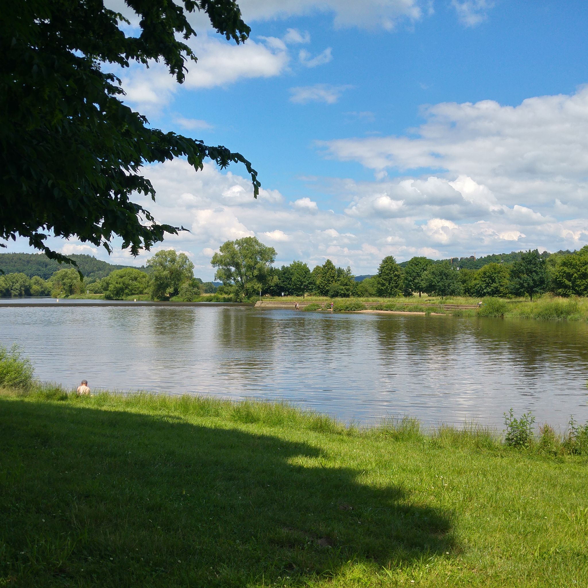
There is also a bench here with a good view of the confluence.
3
0

The area where the Naab River flows into the Danube is perfect for relaxing strolls and picnics! Two great bike paths pass through here. It's simply beautiful! Nearby, in Mariaort, there's a large, good restaurant with a beer garden. There's also free parking. Best, Roland!
4
0

도나우스타우프 주변에서 가장 인기 있는 명소


더 살펴보기
도나우스타우프 주변의 최고의 동굴을 찾기 위해 이 가이드를 확인해보세요:
