카이저 산맥 최고의 등산 경로
4.7
(619)
5,593
등산객
143
하이킹
카이저 산맥에서 하이킹하며 쿠프슈타인 구석 부분까지 살펴볼까요? 카이저 산맥에 있는 모든 하이킹 및 워킹 경로 컬렉션 중 가장 멋진 하이킹 경로를 엄선하여 소개해드릴게요. 다른 하이커가 공유한 실제 팁과 사진을 살펴보고 후기를 읽으며 마음에 드는 카이저 산맥 워킹 경로를 찾아보세요.
마지막 업데이트: 10월 11, 2026
4.9
(69)
717
등산객
10.6km
06:34
1,160m
1,160m
어려운 등산 코스. 우수한 체력 필요. 튼튼한 신발을 신고 미끄러지지 않게 조심해야 하며, 높은 산을 오른 경험이 있어야 함.
4.9
(30)
337
등산객
14.5km
06:01
1,080m
1,080m
어려운 등산 코스. 우수한 체력 필요. 튼튼한 신발을 신고 미끄러지지 않게 조심해야 하며, 높은 산을 오른 경험이 있어야 함.

4.8
(28)
297
등산객
8.36km
03:21
650m
650m
보통 등산 코스. 좋은 체력 필요. 실력과 관계없이 누구나 쉽게 갈 수 있는 길.
4.8
(36)
174
등산객
7.60km
03:41
590m
590m
어려운 등산 코스. 좋은 체력 필요. 튼튼한 신발을 신고 미끄러지지 않게 조심해야 하며, 높은 산을 오른 경험이 있어야 함.
4.6
(22)
145
등산객
13.6km
07:12
1,290m
1,290m
어려운 등산 코스. 우수한 체력 필요. 튼튼한 신발을 신고 미끄러지지 않게 조심해야 하며, 높은 산을 오른 경험이 있어야 함.
5.0
(21)
163
등산객
9.76km
06:30
1,120m
1,120m
어려운 등산 코스. 우수한 체력 필요. 튼튼한 신발을 신고 미끄러지지 않게 조심해야 하며, 높은 산을 오른 경험이 있어야 함.
5.0
(10)
174
등산객
16.2km
06:23
1,070m
1,070m
어려운 등산 코스. 우수한 체력 필요. 튼튼한 신발을 신고 미끄러지지 않게 조심해야 하며, 높은 산을 오른 경험이 있어야 함.
5.0
(14)
144
등산객
11.9km
08:05
1,380m
1,380m
어려운 등산 코스. 우수한 체력 필요. 튼튼한 신발을 신고 미끄러지지 않게 조심해야 하며, 높은 산을 오른 경험이 있어야 함.
4.7
(14)
138
등산객
11.7km
06:46
1,110m
1,110m
어려운 등산 코스. 우수한 체력 필요. 튼튼한 신발을 신고 미끄러지지 않게 조심해야 하며, 높은 산을 오른 경험이 있어야 함.
4.7
(13)
104
등산객
10.8km
05:49
970m
980m
어려운 등산 코스. 우수한 체력 필요. 튼튼한 신발을 신고 미끄러지지 않게 조심해야 하며, 높은 산을 오른 경험이 있어야 함.
더 다양한 경로와 다른 탐험가들의 추천을 살펴보세요.
이미 komoot 계정이 있나요?
투어 추천은 다른 사람들이 komoot에서 완료한 수천 개의 활동을 바탕으로 구성되어 있습니다.
오늘 무료 계정으로 시작하세요
다음 모험이 기다리고 있어요.
카이저 산맥 주변 인기 장소
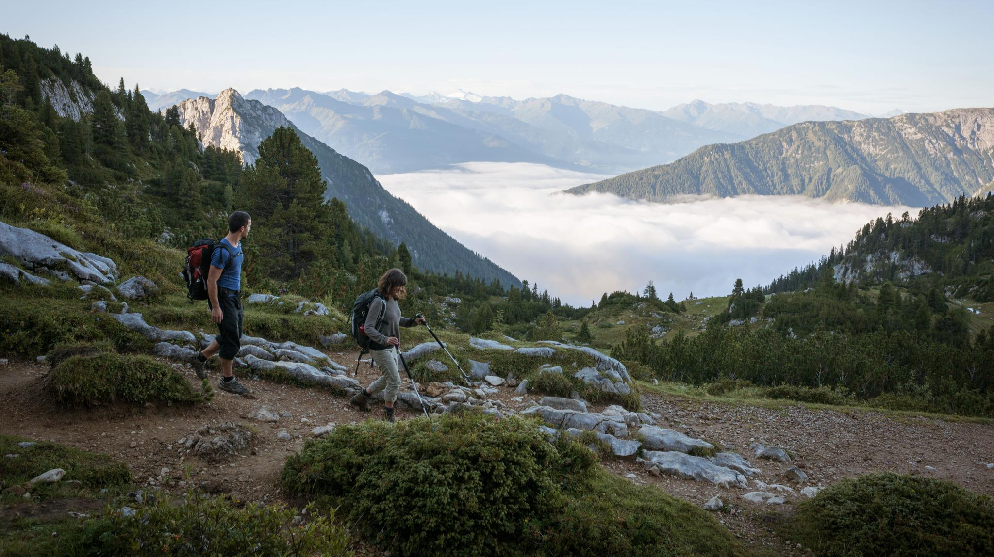
웅장한 독수리 산책로를 따라 하이킹 — 위대한 산책

오스트리아를 49일 동안 걸어다니기 - 북알프스 트레일 01
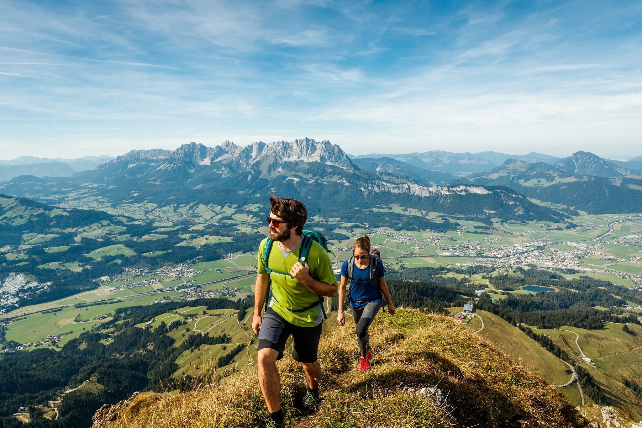
Kitzbühel Alps Trail – Keep on hiking, 3 versions
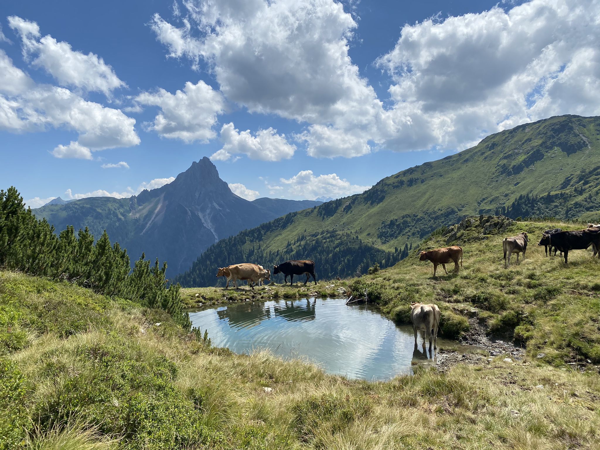
오스트리아 킷츠뷰헬 알프스의 KAT-Walk 알프스 트레일
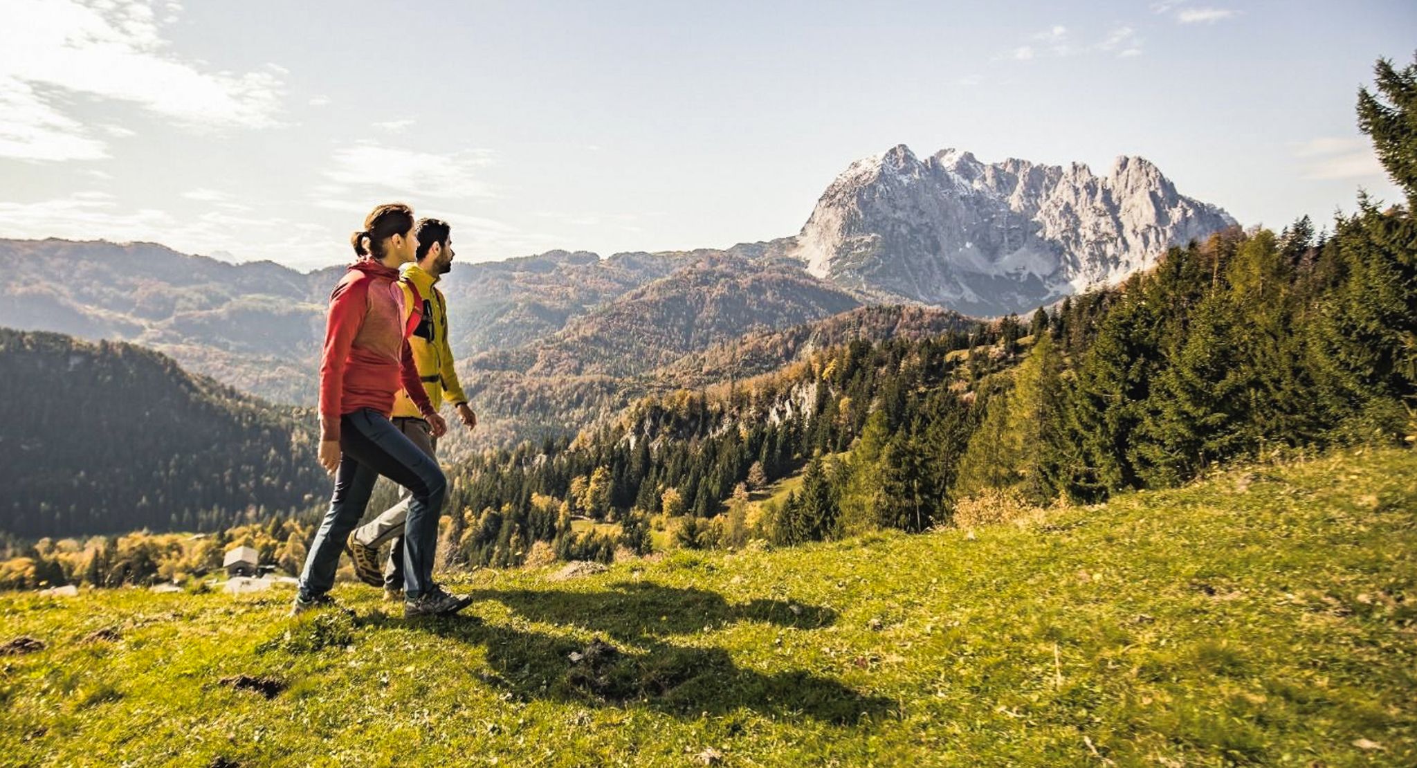
Koasa Trail – 아름다운 자연이 St. Johann 주변에 있습니다.
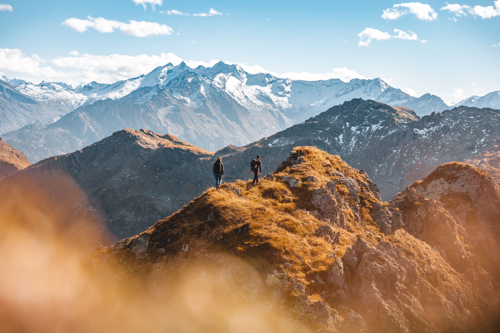
Autumn hiking gold in the Kitzbühel Alps
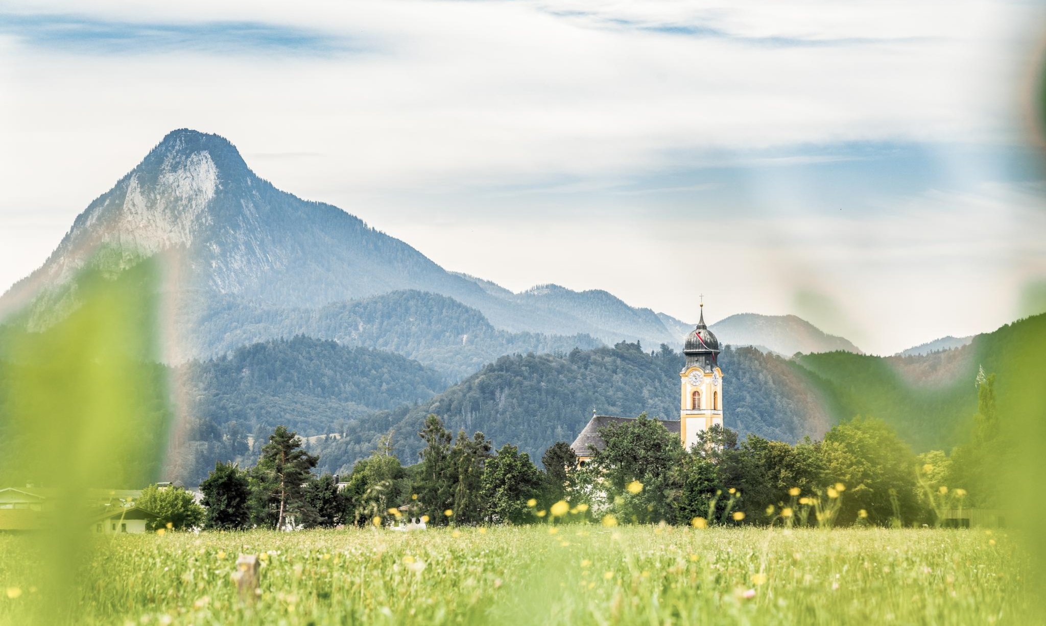
Nature, fun, food, relaxation and stories – inspiring themed trails in Kufsteinerland
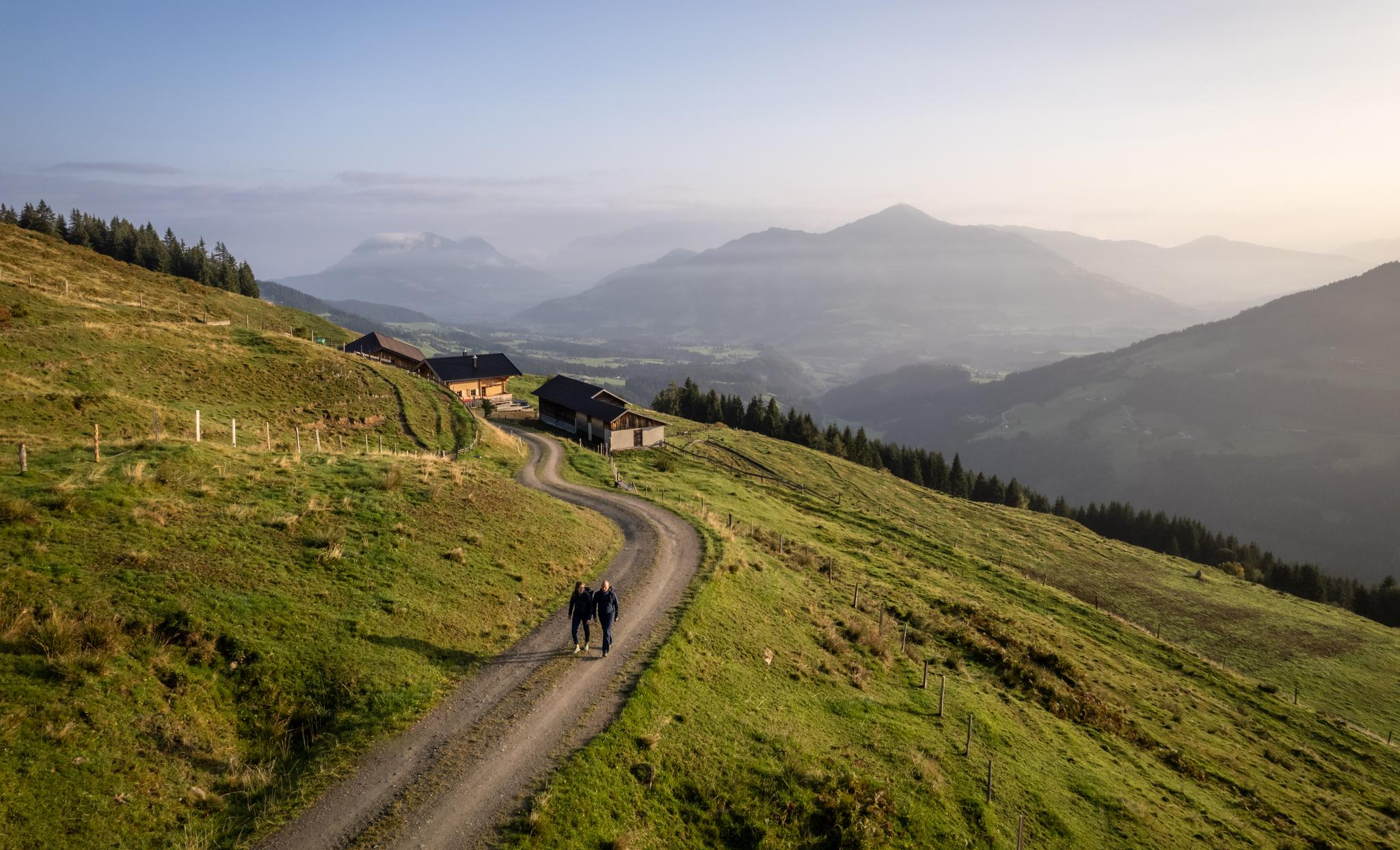
Varied and vibrant hiking in the Kitzbühel Alps
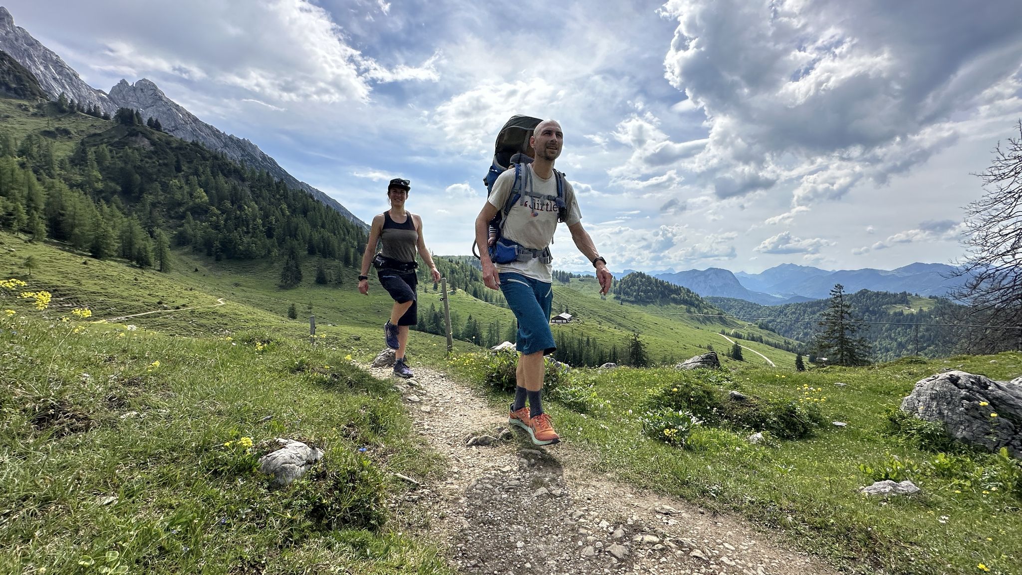
Cooling off in summer – cool water and wide views in Kufsteinerland
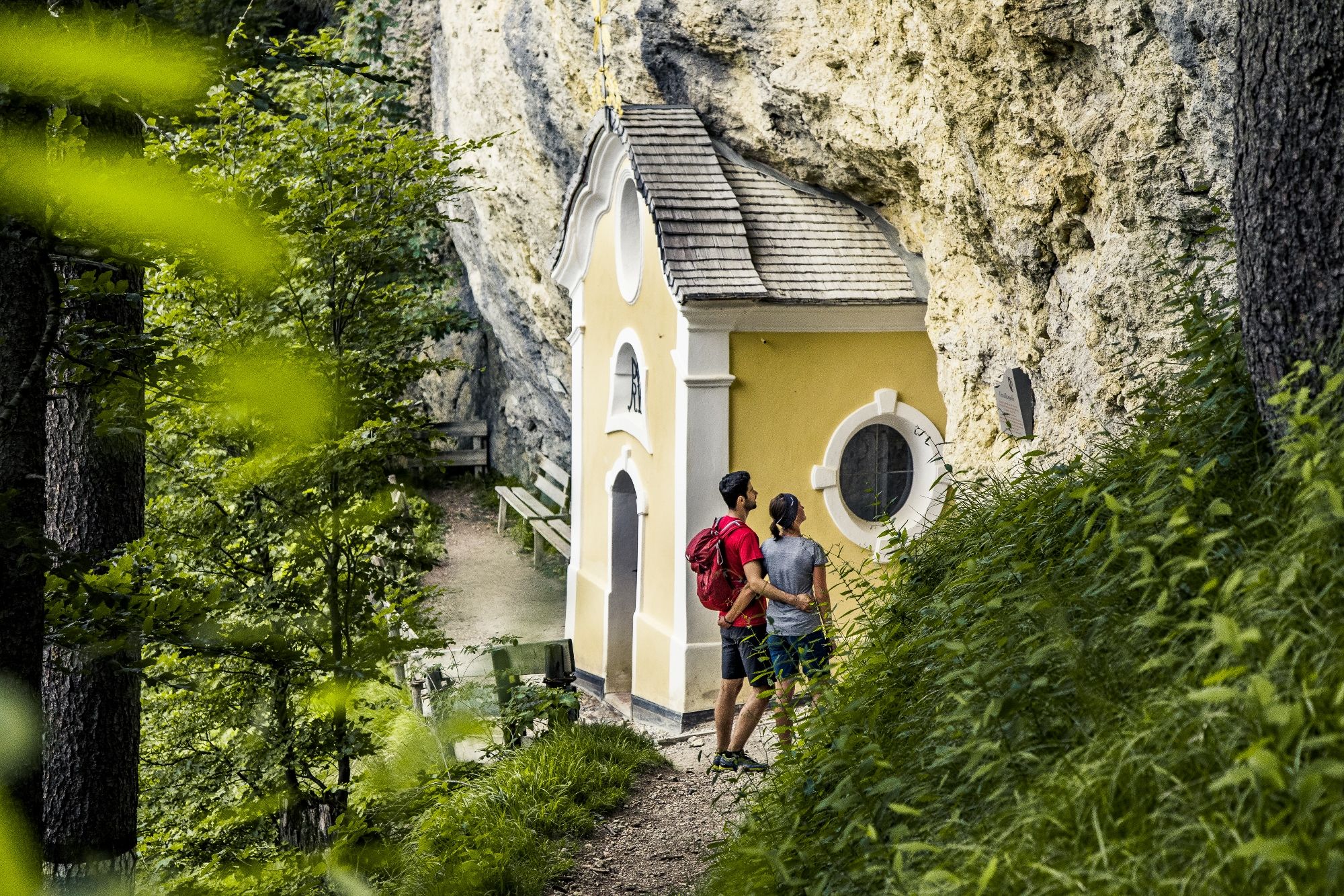
Places of worship in the Kitzbühel Alps – chapel hikes in St. Johann in Tirol
카이저 산맥의 다른 모험


커뮤니티 팁

정보: 일반적인 등반 경로는 2025년 낙석으로 인해 폐쇄되었으나, 현재는 다시 어렵게 통행 가능합니다. 출처: https://www.alpenvereinaktiv.com/de/hinweis/steig-814-auf-den-scheffauer-erschwert-passierbar/809133697/
1
0

펠트베르크는 정상 십자가와 함께 1813m에 위치하며, 빌더 카이저와 차멘 카이저 모두의 멋진 전망을 제공하며, 심지어 발흐제와 키엠제까지 이곳에서 볼 수 있습니다 😊.
11
0

The Fritz-Pflaum-Hütte is a rustic self-catering hut at 1865m above sea level.
0
0

The Feldberg Ridge Trail in the Kaiser Mountains is a particularly scenic high-altitude trail with magnificent views of the Zahmer and Wilder Kaiser mountains. The trail runs from the Stripsenjochhaus hut over the gentle ridge of the Feldberg (1,813 m) and offers impressive panoramas at every turn: on one side, the rugged rock faces of the Wilder Kaiser, on the other, the gentle peaks of the Zahmer Kaiser. The ridge trail is easy to walk, but requires surefootedness and a good head for heights.
1
0
The Feldberg Ridge Trail in the Kaiser Mountains is a scenic high-altitude hike that runs from the Stripsenjochhaus across the Feldberg (1,813 m). The narrow path leads over the gentle ridge above the Kaiserbach Valley and offers impressive panoramas of the Wilder Kaiser, the Zahmer Kaiser, and the surrounding valleys.
2
0
The Frankenheimer Nadel (1,695 m) is a striking rocky outcrop in the Kaiser Mountains in Tyrol, near the Stripsenjochhaus. It rises prominently from the mountain pine slopes north of the Stripsenjoch and is one of the most popular climbing destinations in this area. Its steep, needle-shaped shape makes the Frankenheimer Nadel visible from afar and gives it its distinctive name. It was named after the Frankenheim section of the German Alpine Club, whose members were active here in the early years of mountaineering. The ascent to the Nadel involves various climbing routes of low to moderate difficulty and requires alpine experience and a head for heights.
2
0
The Frankenheimer Nadel is a striking rocky peak in the Kaiser Mountains in Tyrol, not far from the Stripsenjochhaus. The narrow, tower-like rocky promontory rises impressively above the terrain and is particularly popular with climbers. The routes up the Frankenheimer Nadel are varied and require climbing experience and safe rope technique. The needle got its name from the Frankenheim section of the German Alpine Club, which was active in this area for a long time. Due to its striking shape and location, the Frankenheimer Nadel also offers a popular photo motif with the majestic Wilder Kaiser in the background.
2
0
The Tavonaro Cross stands directly next to the Stripsenjochhaus in the Kaiser Mountains and is a quiet, impressive monument amidst the Tyrolean mountains. It was erected in memory of Hans Tavonaro, the legendary mountain guide and hut keeper of the Stripsenjochhaus. Tavonaro shaped life and mountaineering in the Wilder Kaiser for decades and was considered a true "Kaiser expert." From the cross, you have a breathtaking view of the mighty north faces of Totenkirchl, Predigtstuhl, and Fleischbank.
3
0


더 살펴보기
다른 지역의 최고의 산악 하이킹 & 경로를 살펴보세요.
