티에르제 최고의 등산 경로
4.9
(157)
1,641
등산객
34
하이킹
티에르제에서 하이킹하며 쿠프슈타인 구석 부분까지 살펴볼까요? 티에르제에 있는 모든 하이킹 및 워킹 경로 컬렉션 중 가장 멋진 하이킹 경로를 엄선하여 소개해드릴게요. 다른 하이커가 공유한 실제 팁과 사진을 살펴보고 후기를 읽으며 마음에 드는 티에르제 워킹 경로를 찾아보세요.
마지막 업데이트: 9월 1, 2026
4.8
(52)
453
등산객
9.09km
03:39
580m
580m
보통 등산 코스. 좋은 체력 필요. 대부분 갈 수 있는 길. 미끄러지지 않게 조심해야 함.
4.8
(11)
225
등산객
5.72km
02:14
400m
400m
보통 등산 코스. 좋은 체력 필요. 대부분 갈 수 있는 길. 미끄러지지 않게 조심해야 함.

4.9
(12)
150
등산객
9.62km
03:51
600m
600m
어려운 등산 코스. 좋은 체력 필요. 튼튼한 신발을 신고 미끄러지지 않게 조심해야 하며, 높은 산을 오른 경험이 있어야 함.
4.6
(5)
99
등산객
5.81km
02:09
380m
380m
보통 등산 코스. 좋은 체력 필요. 실력과 관계없이 누구나 쉽게 갈 수 있는 길.
5.0
(5)
67
등산객
10.0km
04:42
760m
760m
보통 등산 코스. 좋은 체력 필요. 대부분 갈 수 있는 길. 미끄러지지 않게 조심해야 함.
더 다양한 경로와 다른 탐험가들의 추천을 살펴보세요.
이미 komoot 계정이 있나요?
투어 추천은 다른 사람들이 komoot에서 완료한 수천 개의 활동을 바탕으로 구성되어 있습니다.
오늘 무료 계정으로 시작하세요
다음 모험이 기다리고 있어요.
티에르제 주변 인기 장소
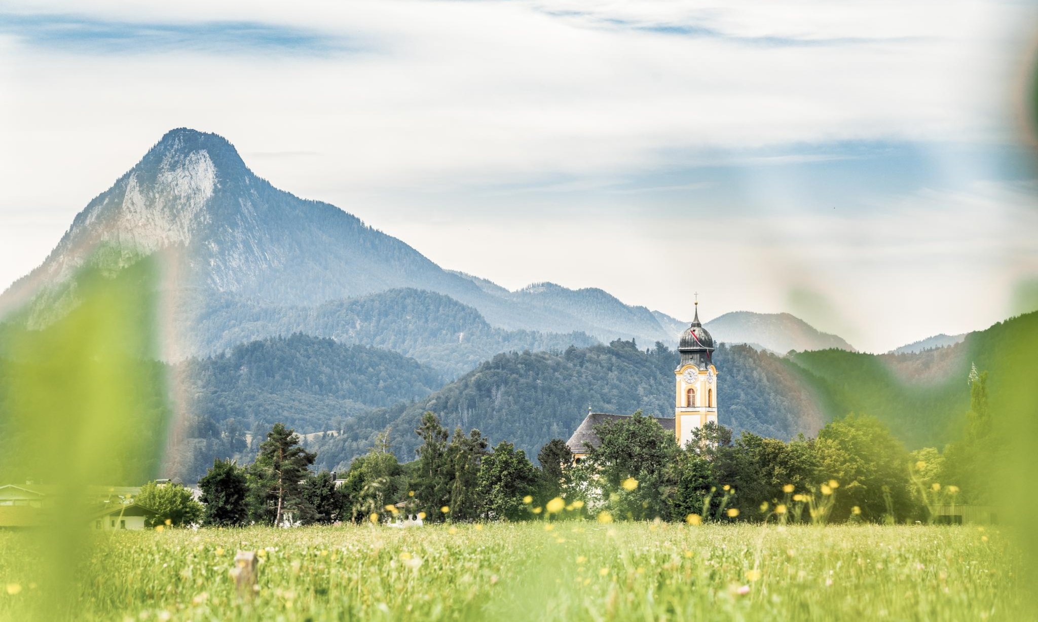
Nature, fun, food, relaxation and stories – inspiring themed trails in Kufsteinerland
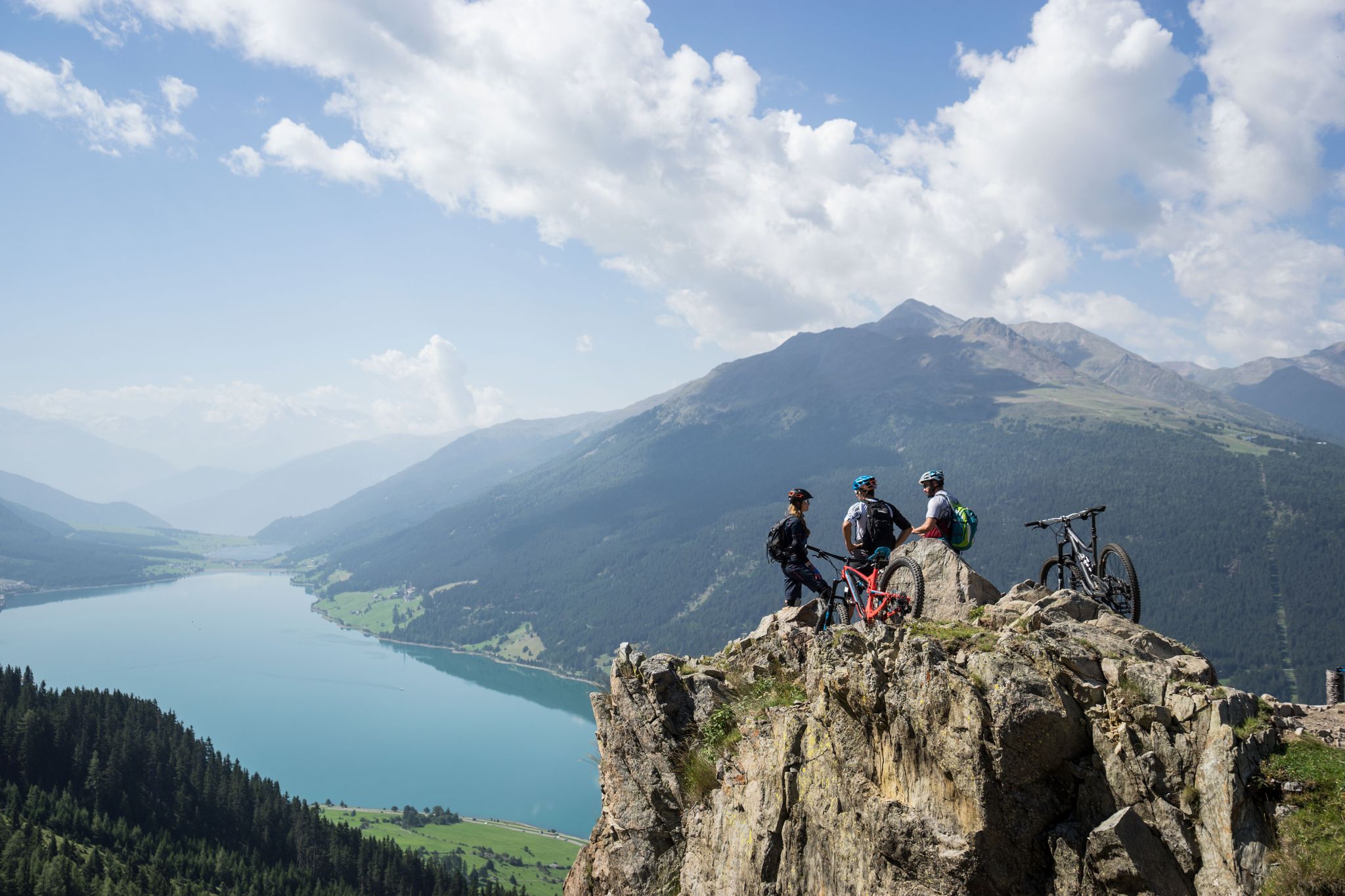
High into the Tyrolean mountain world – mountain biking in Tyrol
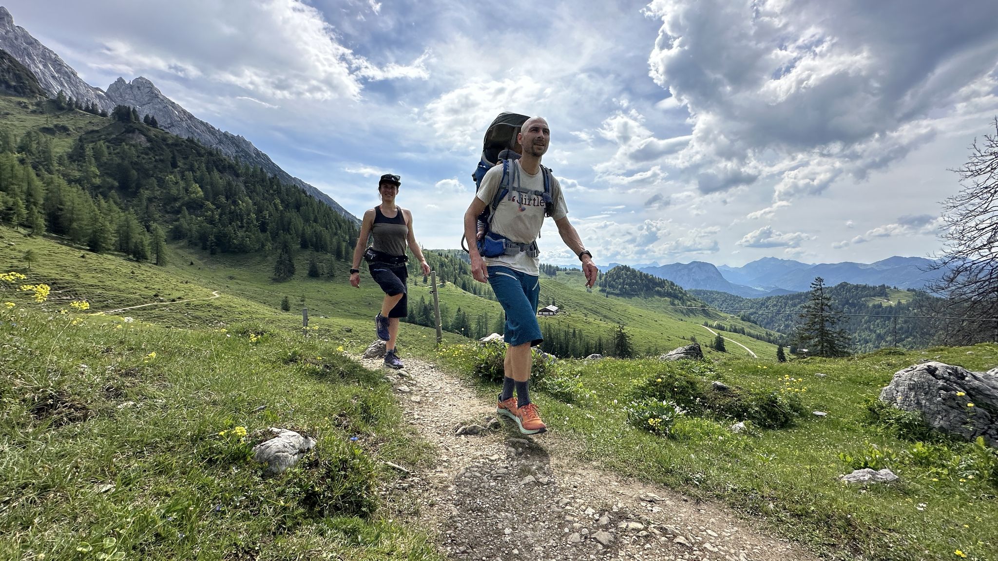
Cooling off in summer – cool water and wide views in Kufsteinerland
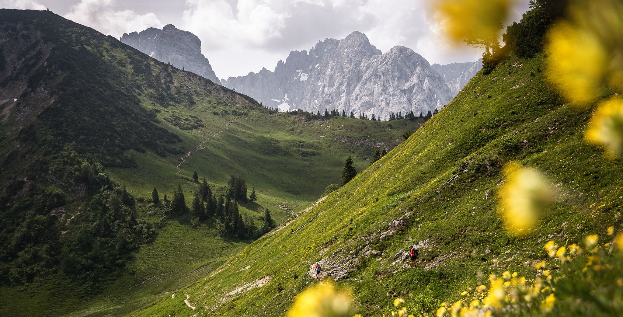
In and around the Kaiser Mountains – hiking in Kufsteinerland
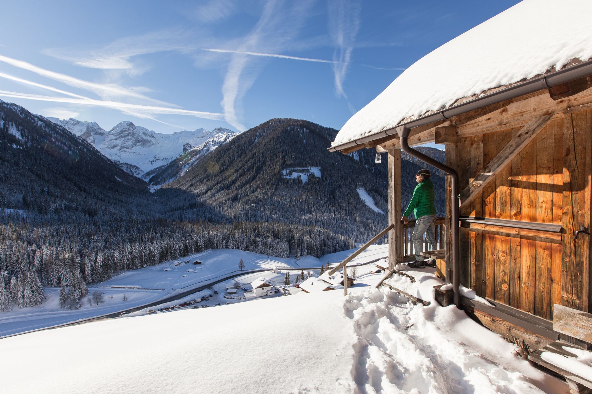
Winter highlights in Tyrol for everyone's taste
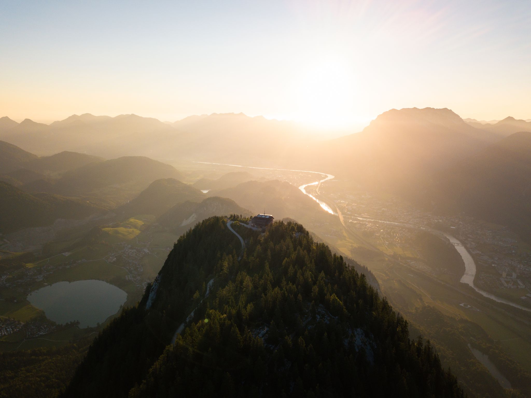
Eight beautiful hikes in the Kufsteinerland region of Austria
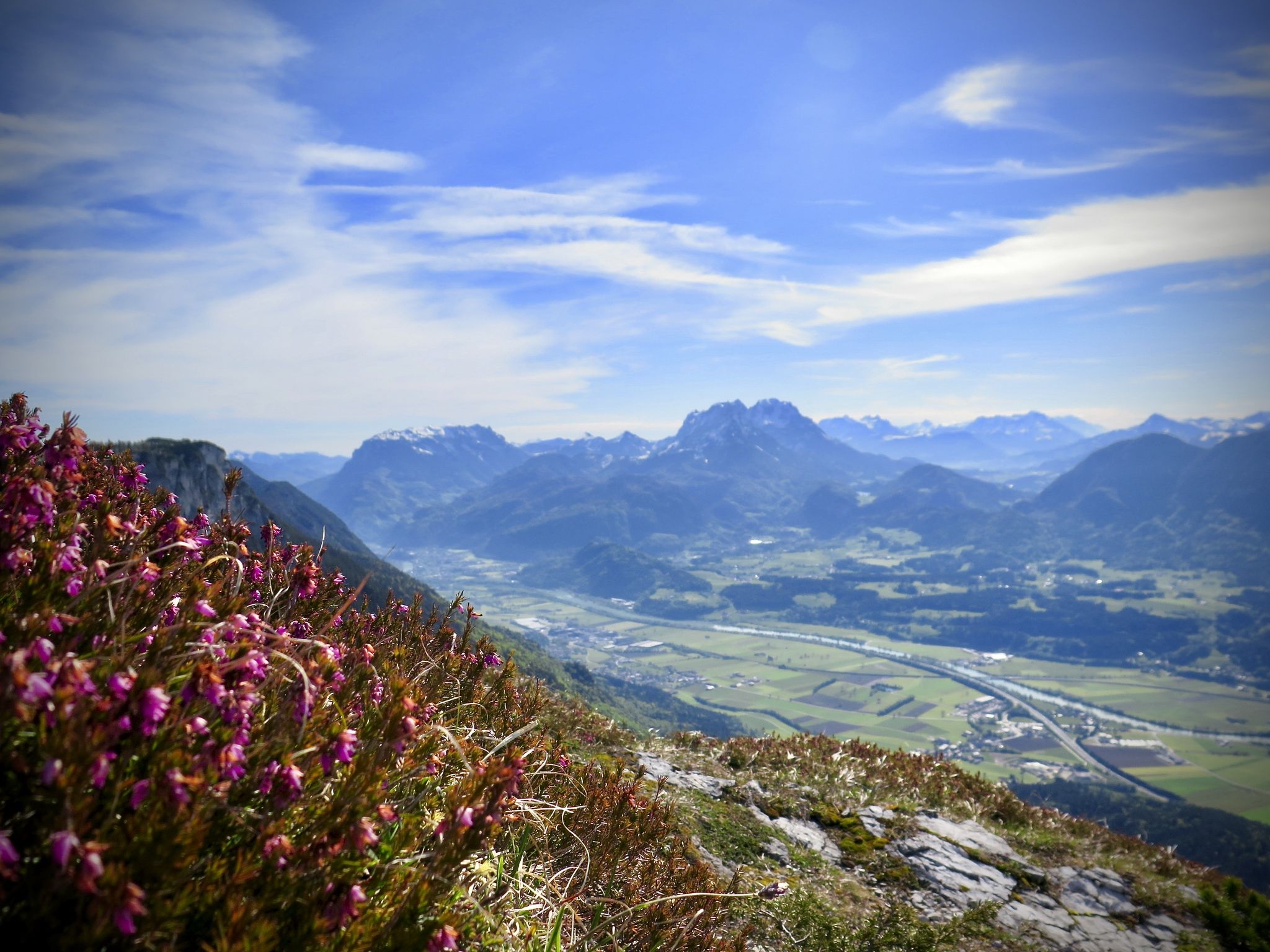
Ready for a holiday? Relaxing hikes in Tyrol in Austria
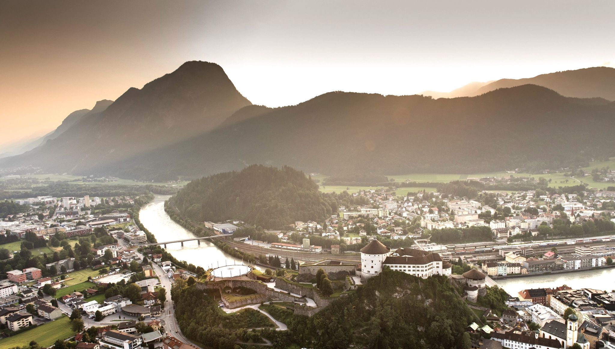
7 day hikes in the idyllic Kaiser Mountains – Kufsteinerland in Austria
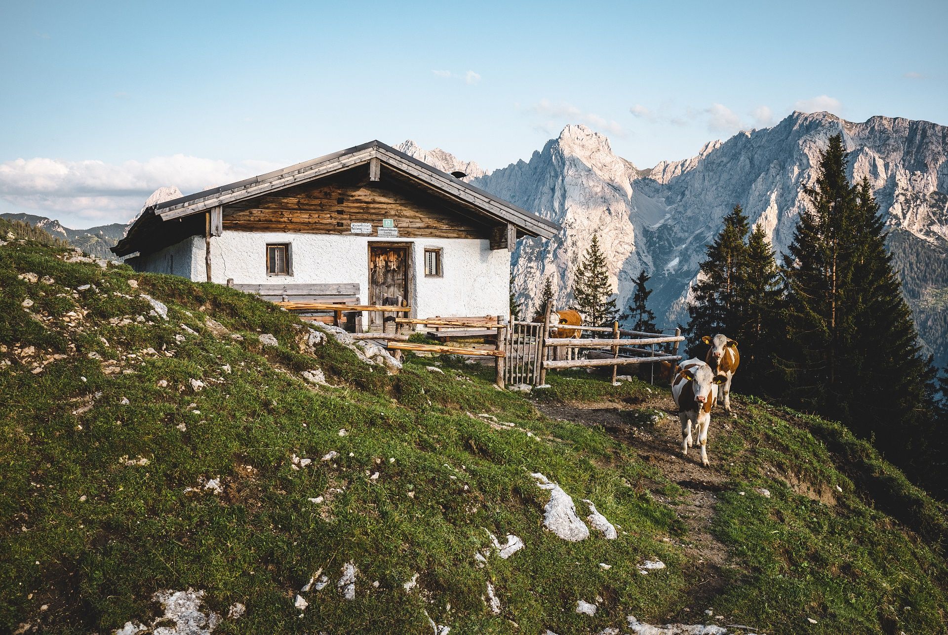
Mountain hut pleasures in autumn – hiking in Kufsteinerland
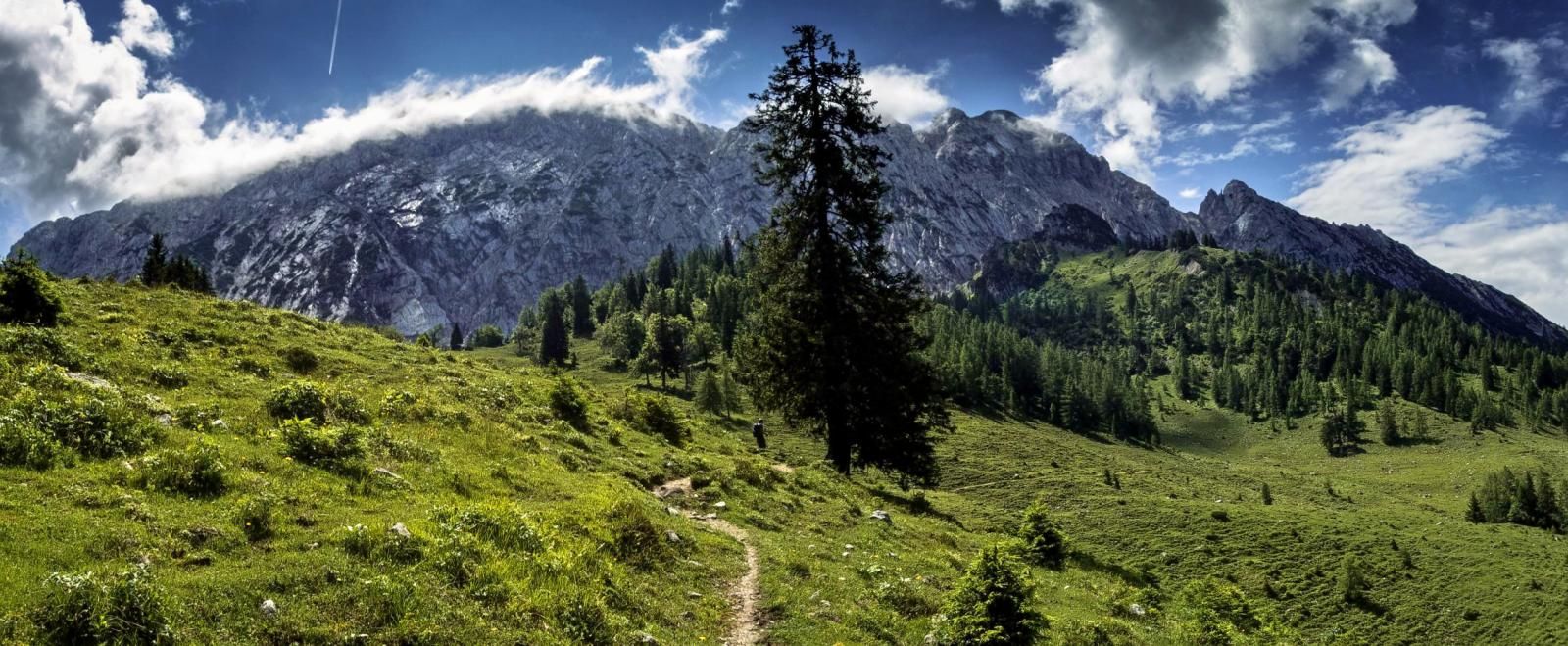
Mountain hut pleasures — hiking in Kufsteinerland
티에르제 주변의 다른 모험


커뮤니티 팁


Not really a summit, more simply the highest point of a long ridge.
1
0
Snow lingers on the cold north face well into April. Taking crampons is a good idea!
0
0

Parking costs 4 €, but will be credited towards your stay
2
0

Alpengasthof Schneeberg. Parking fee €4 (09/2024), of which €2 can be redeemed for food in the inn. Unfortunately, we had a really extreme wasp invasion today, which is why we canceled our visit before ordering 🙄
2
0
Coming from the Pentlinghaus, you first come across a beautiful hut cross, which offers a fantastic view, but does not mark the summit ☝🏼😉 The actual summit cross follows a little later and is a little hidden between the trees!
2
0

A really worthwhile destination (1986 m) with wide views. The local neighbours such as Rotwand, Wendelstein, Schinder and Guffert are clearly visible, but the view extends to the main Alpine ridge and the Central Alps with the Großvenediger and Großglockner. The easiest way up is from the Ackernalm, only 600 metres in altitude and about two hours. The further route to the Krenspitze is easy (T2), after that it becomes uncomfortable (T5).
3
1


더 살펴보기
다른 지역의 최고의 산악 하이킹 & 경로를 살펴보세요.
