비엘랑크 최고의 워킹 & 하이킹 경로
4.6
(1201)
3,702
등산객
17
하이킹
Komoot에 등록된 비엘랑크 내 트레일 및 경로 컬렉션 중에서 하이킹과 워킹을 가장 멋지게 즐길 수 있는 곳을 알려드릴게요. 아래에서 각 경로의 상세 정보를 모두 확인한 후, 비엘랑크 속 자연에서 즐거운 시간을 누려보세요.
마지막 업데이트: 9월 4, 2026
4.0
(5)
32
등산객
7.44km
02:17
20m
20m
보통 하이킹. 좋은 체력 필요. 실력과 관계없이 누구나 쉽게 갈 수 있는 길.
4.0
(5)
32
등산객
보통 하이킹. 좋은 체력 필요. 실력과 관계없이 누구나 쉽게 갈 수 있는 길.

4.0
(5)
32
등산객
8.55km
02:11
30m
30m
보통 하이킹. 좋은 체력 필요. 실력과 관계없이 누구나 쉽게 갈 수 있는 길.
5.0
(3)
7
등산객
4.79km
01:13
20m
20m
초급용 하이킹. 모든 체력 수준에 적합. 실력과 관계없이 누구나 쉽게 갈 수 있는 길.
4.3
(3)
7
등산객
4.89km
01:15
20m
20m
초급용 하이킹. 모든 체력 수준에 적합. 실력과 관계없이 누구나 쉽게 갈 수 있는 길.
더 다양한 경로와 다른 탐험가들의 추천을 살펴보세요.
이미 komoot 계정이 있나요?
투어 추천은 다른 사람들이 komoot에서 완료한 수천 개의 활동을 바탕으로 구성되어 있습니다.


커뮤니티 팁

The old fieldstone church was built around 1256 and served as a place of worship for the surrounding villages of the Alt Jabel community until a new one was built in 1908. The attic and a wooden bell tower were demolished, and the church remains were left to their own devices. The church ruins have now been restored and secured.
2
0

A fascinating place that is worth exploring. There are also a few benches here that invite you to linger. Just sit down and think about your thoughts.
1
0

The ruins of the Michaeliskirche from 1256 with round arches were built from field stones. The church existed until around 1908, after which the wooden tower was demolished and the rest fell into disrepair. https://www.wikiwand.com/de/Alt_Jabel
1
0


In sight, to the west, you can see the only building, the "Samendarre". The only forestry facility in Mecklenburg for the storage and processing of pine seeds.
1
0
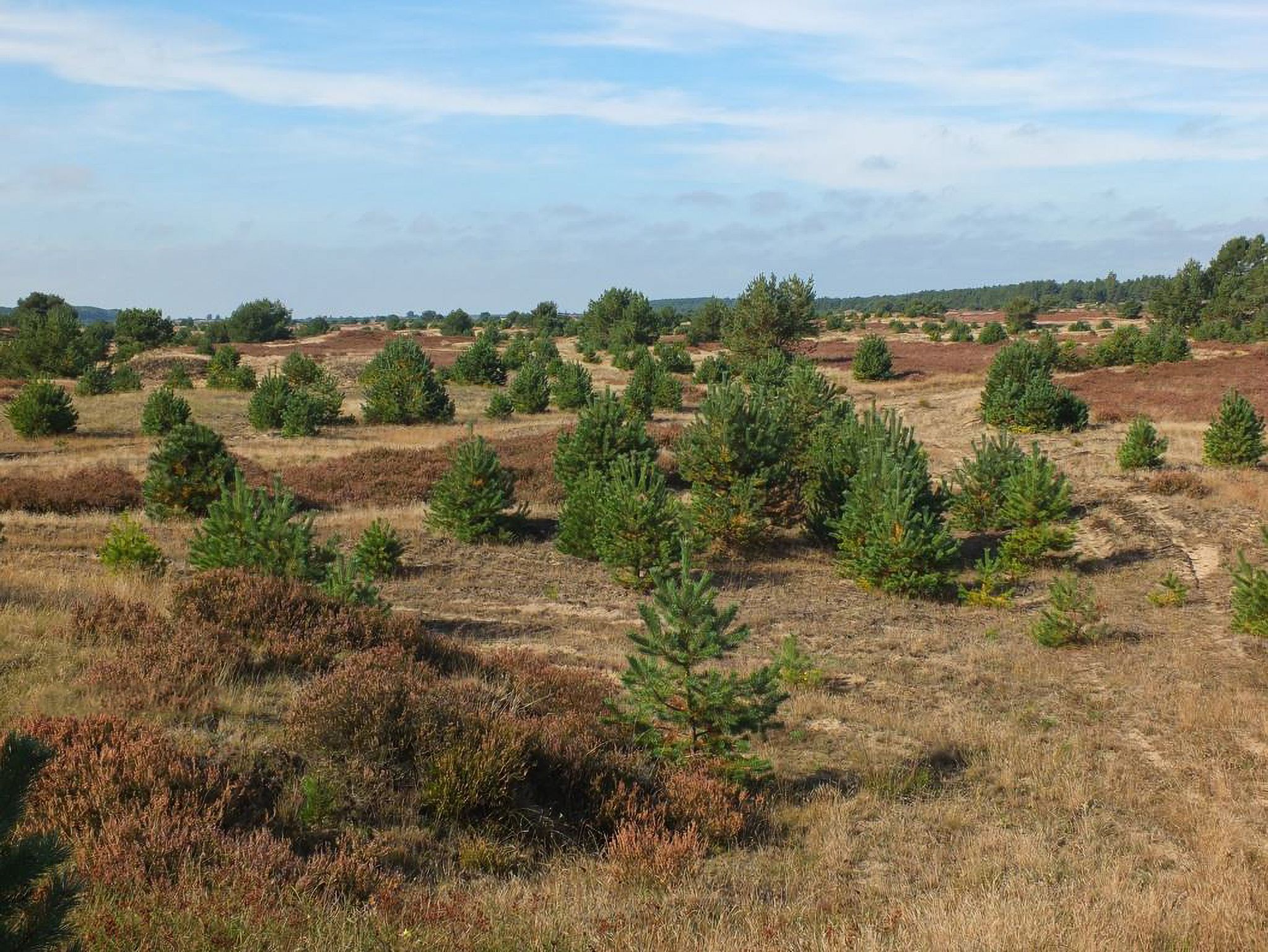
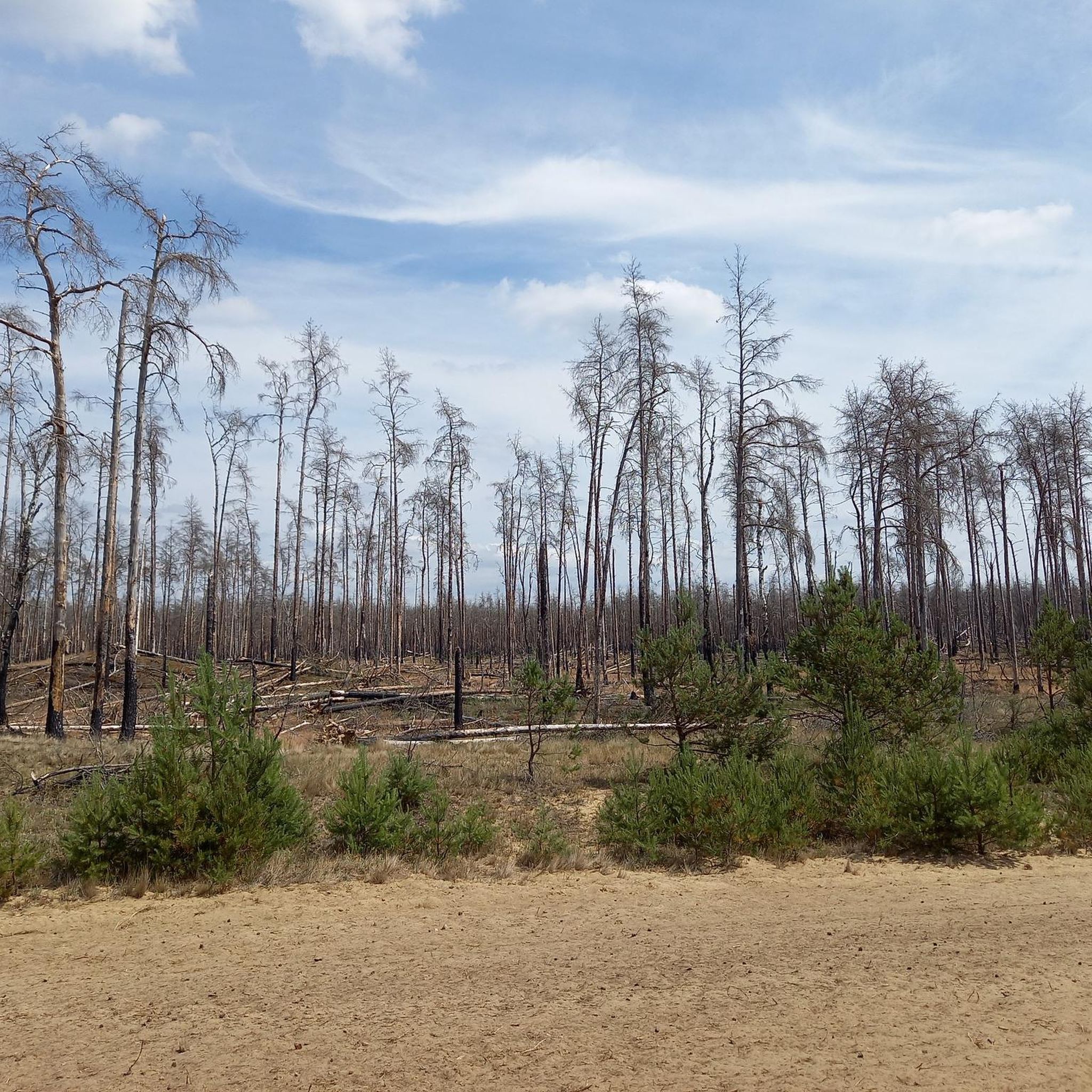
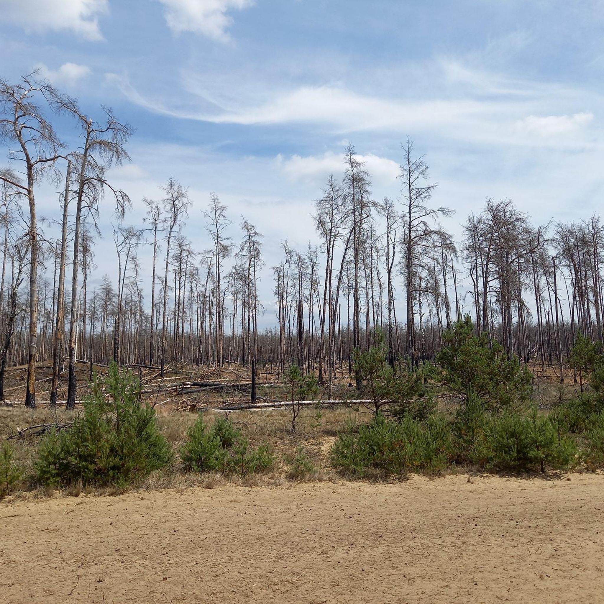
This is where the former village of Quast is located, now a deserted area in the Lübheener Heide / Jabeler Heide, with a memorial plaque, information about the history and places to take a break. ----------- Former Dorp Quast (hüüt desert) in de Lübenheener Heid / Jabeler Heid with memorial plaque, information about history, etc ... ----------- Väle Johrn would have you, now a werre up bicycle and tau faut up'n padd dör de LübheenerHeide can strump. Dat Rebeit is ok as stripes, stripes, shooting range, military training area and JabelerHeide künnig. All de Wäg (gravel, grit, sand, asphalt fragments) laaten sik fien fohrn and de body ümtau sünd nu werre dör de Heid henndör verbunn. (Lübbendorf, Ramm, Belsch, Quast (Wüstung), Laupin, Loosen, Kavelmoor, HohenWoos, AltJabel, Vielank, Volzrade, Jessenitz, Trebs and ProbstJesar. Etc ...) In't Johr 2019 is up duss flag de grote WaldbrandLübheen 🚒 wäst, can be up stunns still at all de swatten Bööm. Süst exists here, so as mostly in the GriesenGegend, ut väl Dannbööm🌲, Sand un Heide man - man klor, all the Gäl SandBargen (including Black Mountains) and inland dunes do not forget ... Dat giwt in de Heid bannig väl KrüzWäg un Twälen (fork) and dor süll'n de Wieser (signs) help the right Padd tau finn. Man de Wieser didn’t show the right padd, but you’re able to bitter. One war all for miehr as 150 Johrn us Fritz Reuter schräben: “… As ick achter de Möhl kamm, kamm ick in de Heid'ne desolate area! Sand an Dannenbusch an Heid'krut ... so again that Oog stretches! Weg´gungen bi Weg´, yeah, äwer wecker Weg what de right? " (F.Reuter to KalißerHeid, South WestMecklenb.)
1
0

The old stone church was built about 1256 and served until the construction of a new church in 1908 as a church for the surrounding villages of Alt Jabel. The attic and a wooden belfry were demolished leaving the remains of the church to the time. Meanwhile, the church ruin has been restored and secured.
2
0
비엘랑크 주변에서 가장 인기 있는 명소


더 살펴보기
다른 지역의 최고의 하이킹를 살펴보세요.
