베링겐 최고의 워킹 & 하이킹 경로
4.4
(1833)
11,860
등산객
306
하이킹
정확한 경로를 찾는 것이 때로는 어렵지만 베링겐에서 하이킹을 하면 다양한 경치를 마음껏 감상할 수 있답니다. 베링겐에서 가장 멋진 하이킹과 워킹 중에서 마음에 드는 활동을 시작해보세요.
마지막 업데이트: 10월 10, 2026
4.6
(101)
675
등산객
6.93km
01:47
30m
30m
초급용 하이킹. 모든 체력 수준에 적합. 실력과 관계없이 누구나 쉽게 갈 수 있는 길.
4.5
(30)
206
등산객
25.1km
06:32
180m
170m
어려운 하이킹. 우수한 체력 필요. 실력과 관계없이 누구나 쉽게 갈 수 있는 길.

4.5
(190)
1,241
등산객
9.88km
02:42
150m
150m
보통 하이킹. 좋은 체력 필요. 실력과 관계없이 누구나 쉽게 갈 수 있는 길.
4.3
(162)
1,163
등산객
5.08km
01:17
10m
10m
초급용 하이킹. 모든 체력 수준에 적합. 실력과 관계없이 누구나 쉽게 갈 수 있는 길.
4.5
(145)
740
등산객
9.58km
02:40
180m
180m
보통 하이킹. 좋은 체력 필요. 실력과 관계없이 누구나 쉽게 갈 수 있는 길.
더 다양한 경로와 다른 탐험가들의 추천을 살펴보세요.
이미 komoot 계정이 있나요?
투어 추천은 다른 사람들이 komoot에서 완료한 수천 개의 활동을 바탕으로 구성되어 있습니다.



커뮤니티 팁

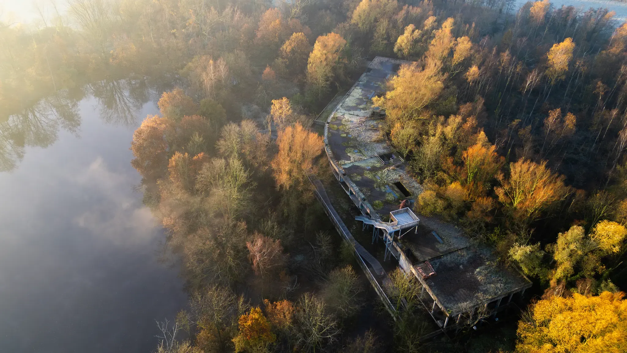
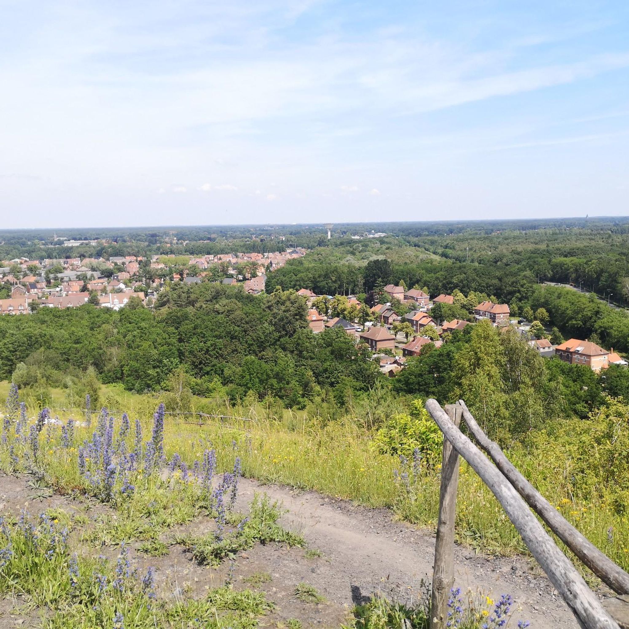
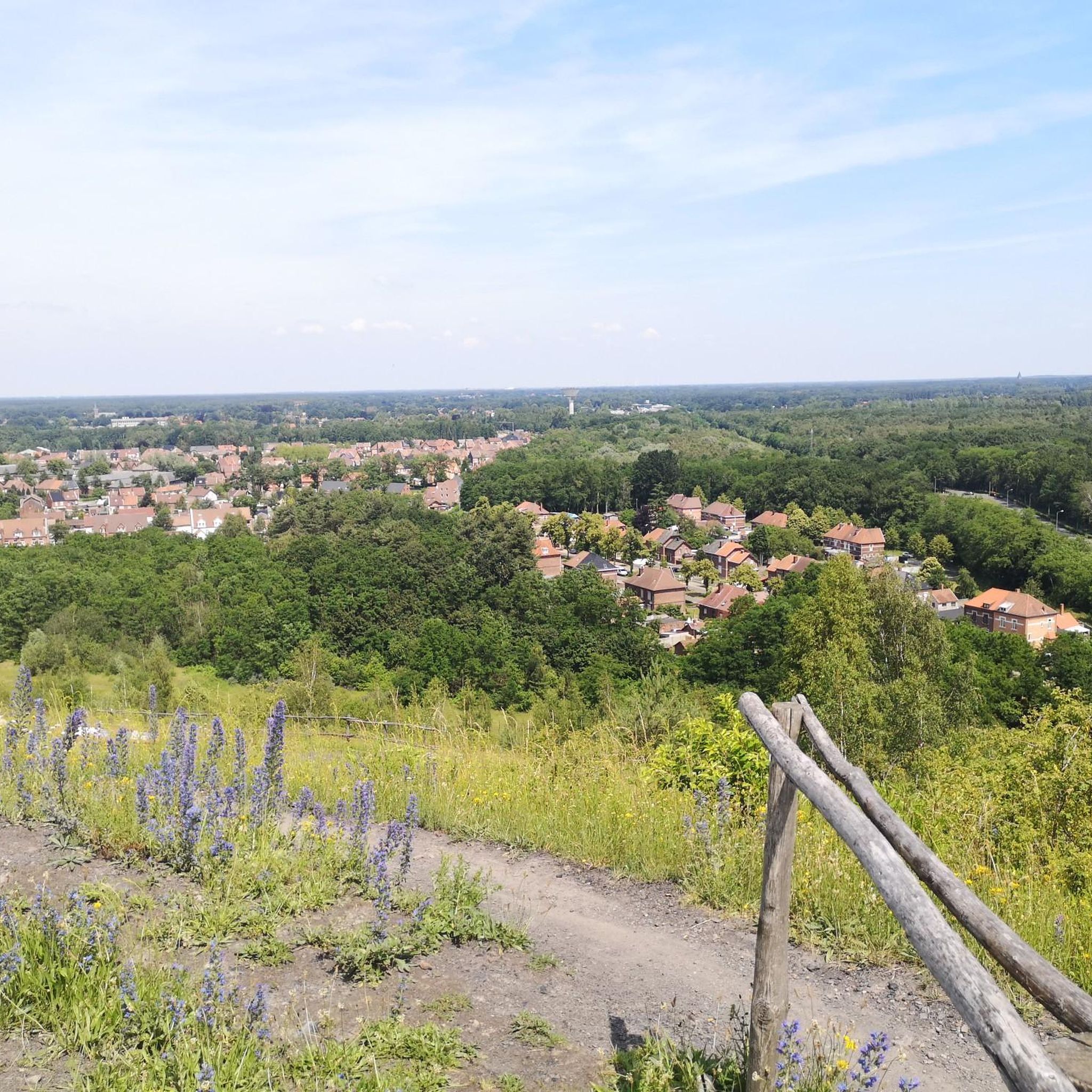
베링언의 광산 폐기물 더미는 베링언-베버를로-쾨르설 삼각형의 중앙에 자리 잡고 있으며 검은 시냇물 계곡으로 둘러싸여 있습니다. ANB는 60헥타르의 면적을 차지하는 이 지역을 관리합니다. 광산 폐쇄 후, 광산 폐기물 더미 2와 주변 지역은 플랑드르 자연 보호 구역으로 새로운 목적을 부여받았습니다. 허브와 잔디 혼합물이 뿌려졌습니다. 바람과 동물이 운반체 역할을 하면서 자연이 이를 도왔습니다. 베링언 광산 폐기물 더미의 가파른 경사면에는 여름 참나무, 자작나무, 산사나무, 들장미, 덩굴 장미 숲이 번성합니다. 성 요한 풀, 데이지, 쑥갓, 서양 톱풀, 야생 당근이 더 햇볕이 잘 드는 탁 트인 지역에서 자리를 놓고 경쟁합니다. 종달새, 나무발발이, 풀발발이와 같은 새들은 이러한 풍부한 허브를 즐깁니다. 번식하기에 완벽한 생태계입니다. 또한, 눈에 띄는 푸른 날개 메뚜기와 호랑나비를 포함한 많은 곤충 덕분에 먹이가 풍부합니다.
4
0
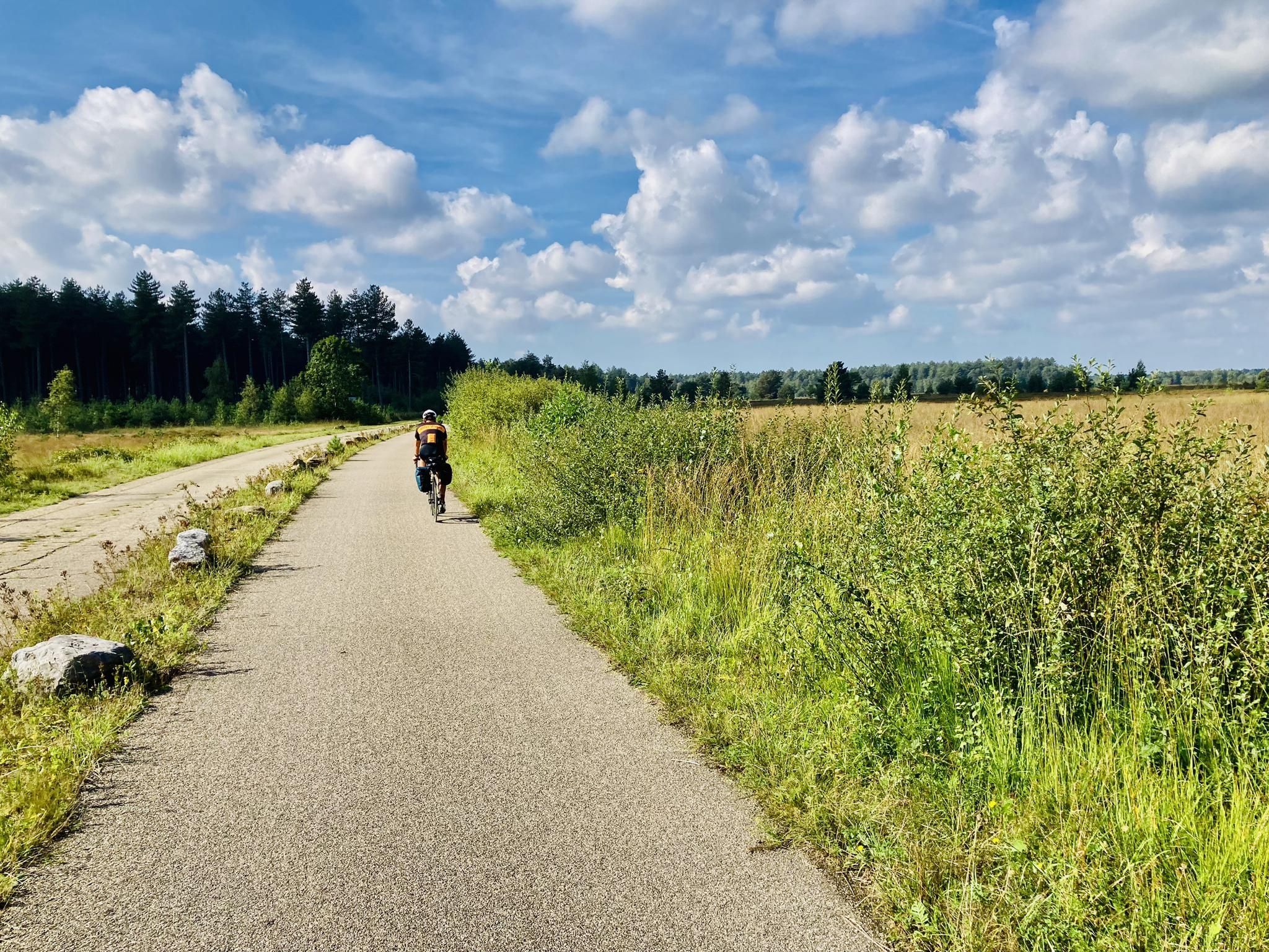
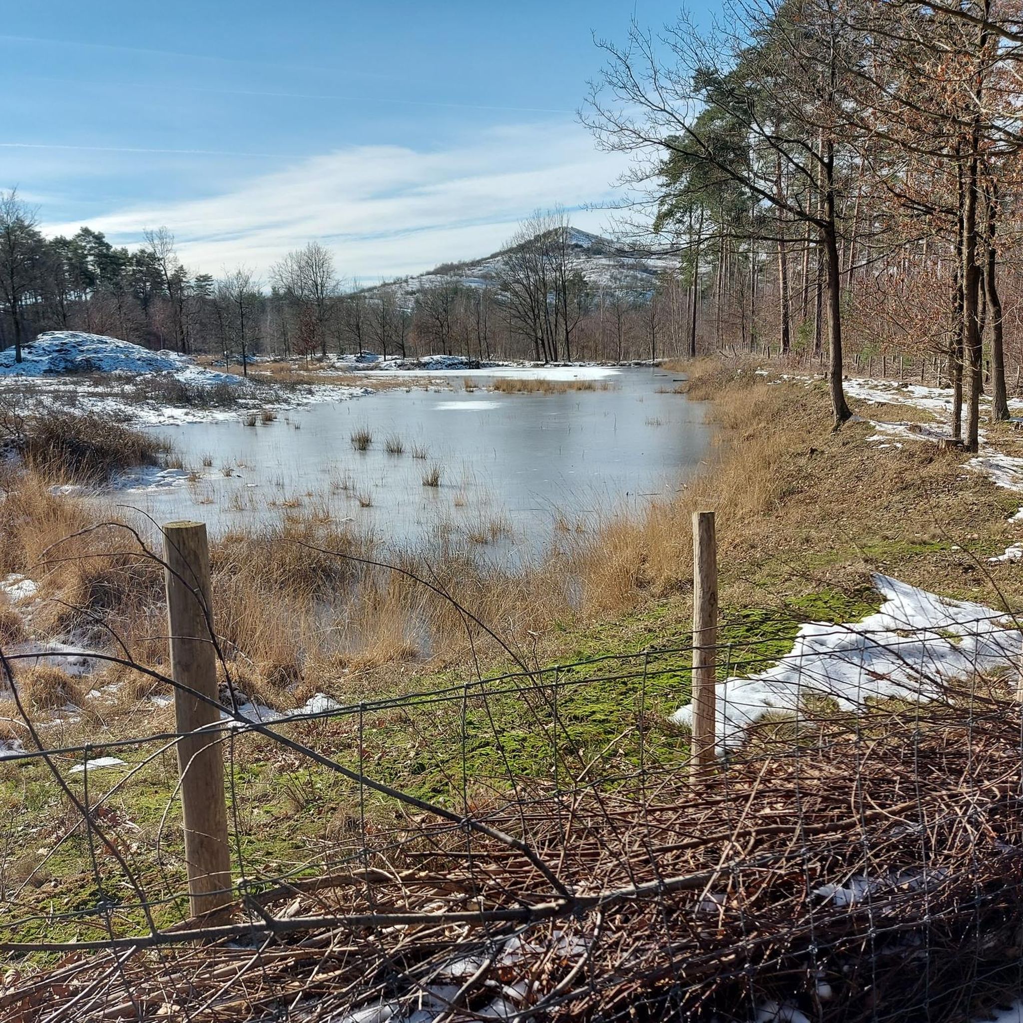
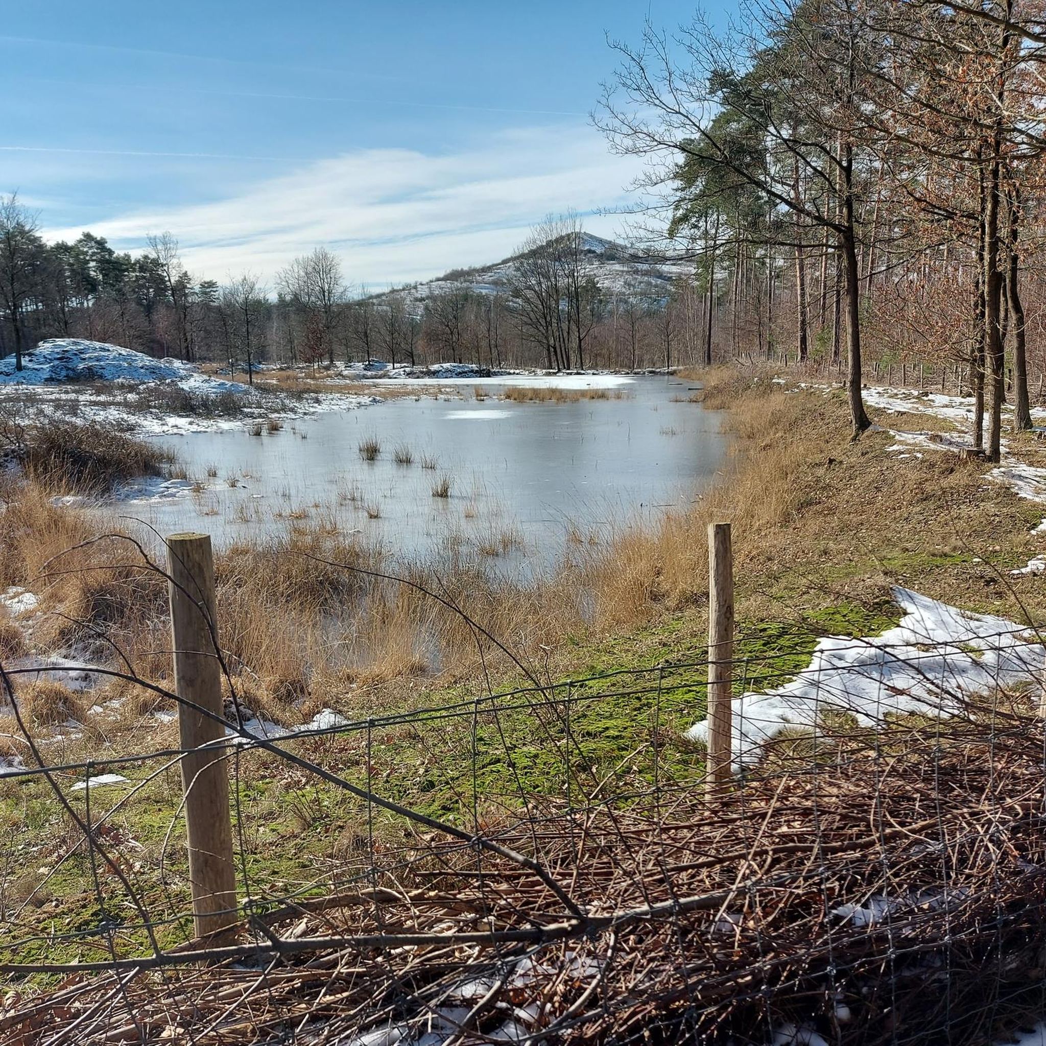
극심한 변화, 축축하고 질척한 습지 계곡부터 황야의 바싹 마른 모래 언덕까지, 이것이 바로 검은 개울 계곡으로 알려진 것입니다. 상류에서는 개울이 "베버로 캠프" 군사 지역을 구불구불 흐릅니다. 이곳에서 개울은 자연스러운 구불거림을 유지했습니다. 이것이 바로 칠성장어와 같은 희귀 어종이 이곳에서 편안함을 느끼는 이유입니다. 개울 계곡은 점차 큰 황야 지역으로 바뀝니다. 습한 황야에는 습지와 건조한 황야에는 모래 언덕이 있습니다. 단 몇몇 식물과 동물 종만이 심한 기온 변화, 극심한 가뭄, 매우 역동적인 모래 언덕을 견딜 수 있습니다. 덤불풀, 거친 이끼, 황야의 쇠비름 사이에서 모래 벌레는 작은 곤충을 사냥합니다. 흰꼬리딱새, 멧새, 종달새는 차례로 빠른 사냥꾼들을 잡으려고 합니다.
3
0
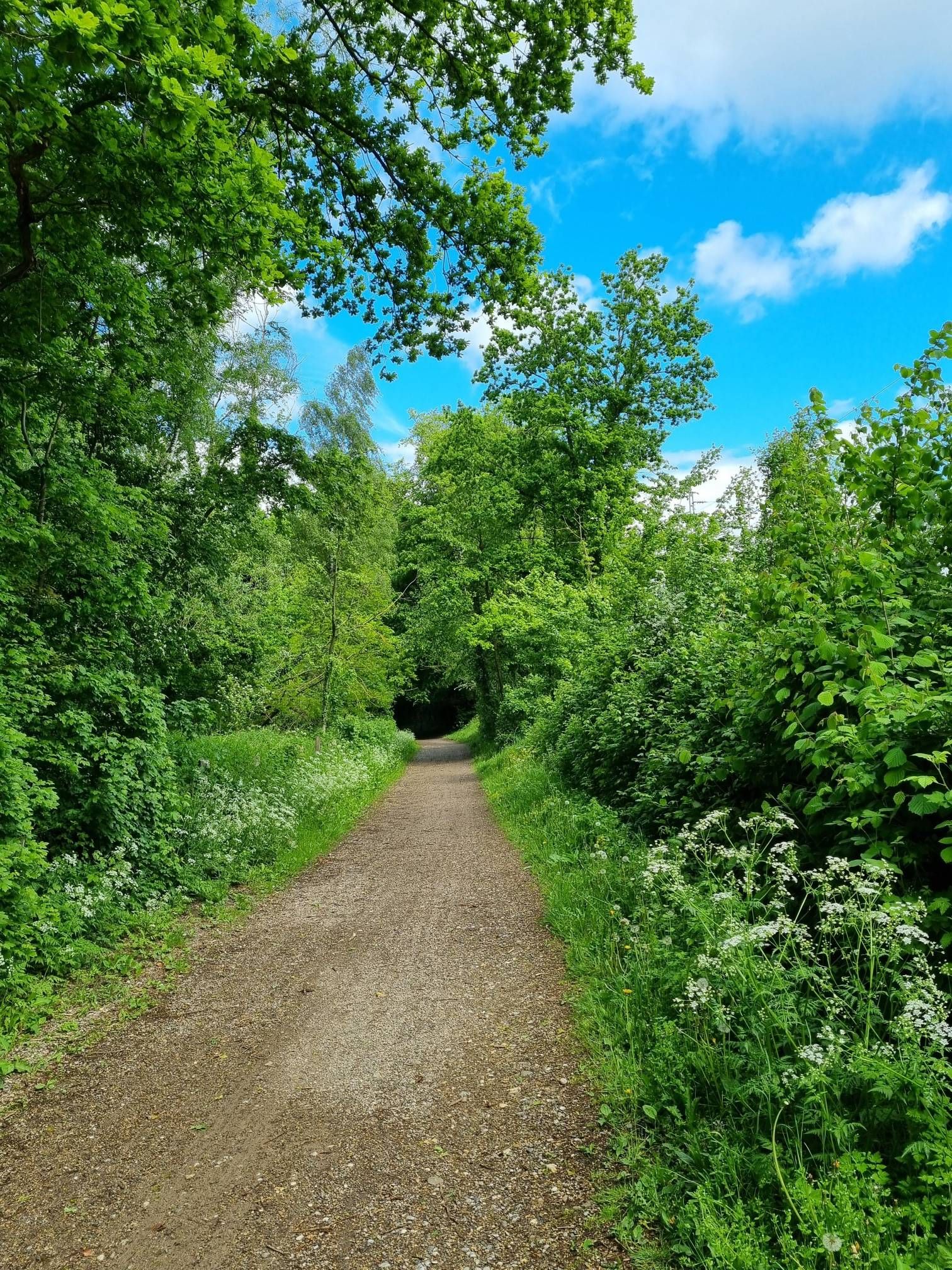
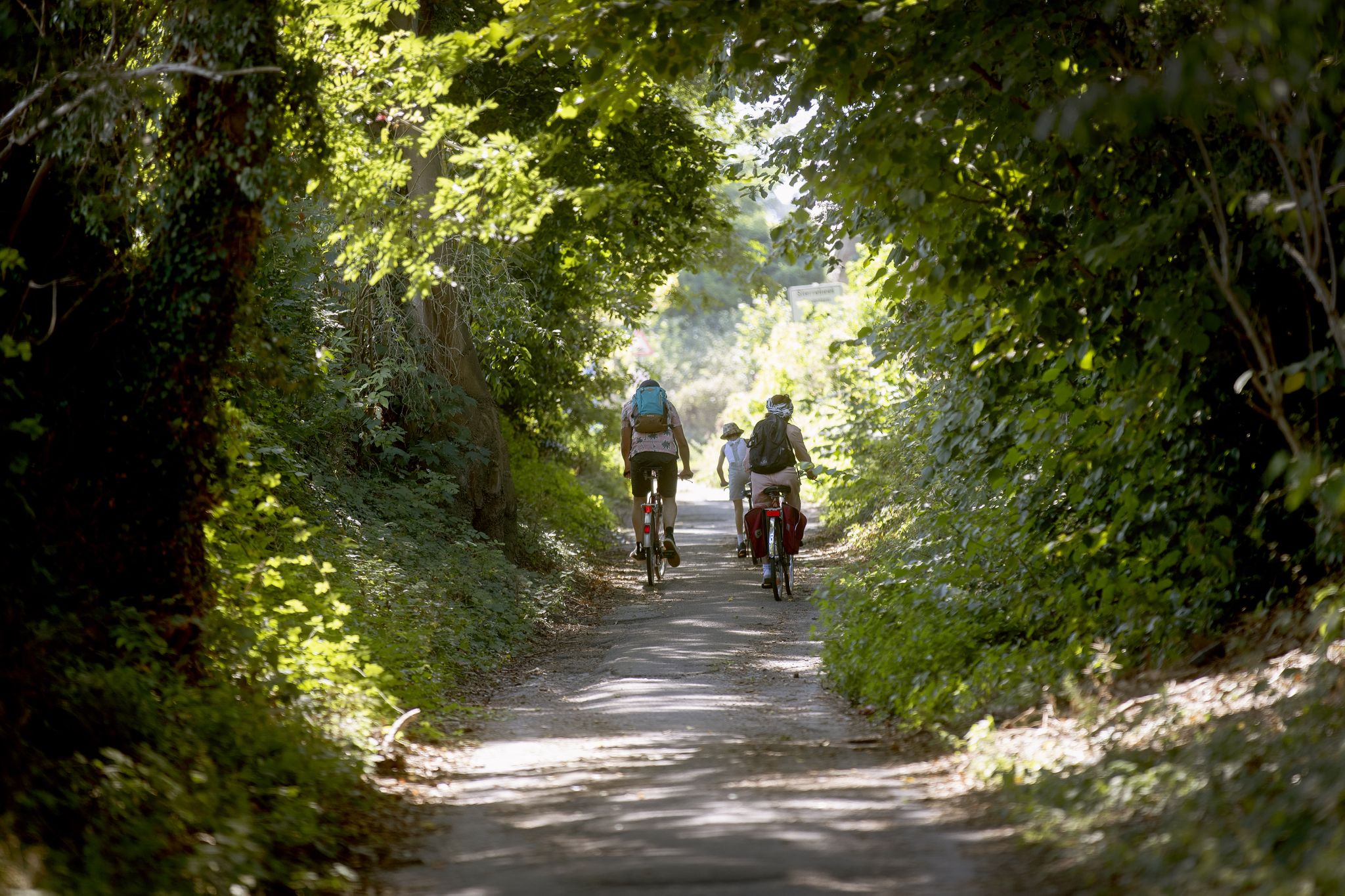
Korspel(Beringen)의 작은 개울 옆 연못은 자전거 도로와 산책로 바로 옆에 위치한 조용하고 푸른 장소입니다. 하이커와 자전거 이용자가 잠시 쉬어가기에 이상적인 장소입니다.
3
0
림뷔르흐의 원래 평평한 황야 풍경은 석탄 채굴이 시작되면서 지형이 크게 바뀌었습니다. 위로 끌어올린 석탄은 쓸모없는 돌과 분리해야 했습니다. 이를 위해 석탄을 '세척'하고 폐기물을 쌓았습니다. 이렇게 해서 광미탑이 생겨났습니다. 오늘날 광미탑과 그 주변은 다양한 동식물이 서식하는 자연 보호 구역으로 바뀌었습니다.
3
0
림뷔르흐의 원래 평평한 황야 지형은 석탄 채굴이 시작되면서 지형이 근본적으로 바뀌었습니다. 채굴된 석탄은 쓸모없는 암석과 분리해야 했습니다. 이를 위해 석탄을 '세척'하고 폐기물을 쌓았습니다. 그렇게 해서 광산 폐석 더미가 생겨났습니다. 오늘날 폐석 더미와 그 주변은 다양한 동식물이 서식하는 자연 보호 구역으로 변모했습니다.
2
0
베링언 광미산은 베링언-베버러-코르셀 삼각형의 중앙에 자리 잡고 있으며 검은 개울 계곡으로 둘러싸여 있습니다. ANB는 60헥타르의 면적을 차지하는 이 지역을 관리합니다. 광산 폐쇄 후, 광미산 2호와 주변 땅은 플랑드르 자연 보호 구역으로 새로운 목적을 부여받았습니다. 베링언 광미산의 가파른 경사면에는 여름 참나무, 자작나무, 산사나무, 들장미, 덩굴 장미 숲이 번성합니다. 성 요한 풀, 데이지, 쑥, 서양 톱풀, 야생 당근이 더 햇볕이 잘 드는 탁 트인 지역에서 자리를 놓고 경쟁합니다. 종달새, 나무 종달새, 풀 종달새와 같은 새들은 이러한 풍부한 허브를 즐깁니다. 수많은 곤충, 특히 눈에 띄는 푸른 날개 메뚜기와 호랑나비 덕분에 그들에게는 먹이가 풍부합니다. 그들에게는 번식하기에 이상적인 생태계입니다.
3
0
Drasland(영어: wetland)는 토양이 일시적 또는 영구적으로 물에 잠겨 있는 생태계입니다. 물은 강수, 토양 또는 인근 수로에서 유래합니다. 습지는 생물 다양성이 풍부하며 기후 변화에 대처하는 데 여러 가지 방식으로 도움이 됩니다.
3
0
In 1992, the last mine in the Benelux closed its doors in Zolder. Yet, it was the first place where the protected buildings were given a new purpose. Along with the winding tower, the Monnoyer chimney, and the mortuary, they remain visible relics of "black gold." The "Watt 17" power station has been expertly restored. The multifunctional building "De Verdieping" houses a passive school and the CVO (Cultural Education Centre), and in the restored winding engine building, you can take the ZLDR LUCHTFABRIEK heritage walk for free. The Market Square comes alive every second and fourth Wednesday of the month with the multicultural market "MijnMarkt" (My Market).
3
0
베링겐 주변에서 가장 인기 있는 명소


더 살펴보기
다른 지역의 최고의 하이킹를 살펴보세요.
