경로

플래너

기능

업데이트

App

로그인 또는 가입

앱 다운로드

로그인 또는 가입

로그인 또는 가입

경로
하이킹
벨기에
플랑드르

사우스림부르크

사우스림부르크 최고의 워킹 & 하이킹 경로

4.4

(54715)

314,943

등산객

8,960

하이킹

사우스림부르크에서 하이킹하며 플랑드르 구석 부분까지 살펴볼까요? 사우스림부르크에 있는 모든 하이킹 및 워킹 경로 컬렉션 중 가장 멋진 하이킹 경로를 엄선하여 소개해드릴게요. 다른 하이커가 공유한 실제 팁과 사진을 살펴보고 후기를 읽으며 마음에 드는 사우스림부르크 워킹 경로를 찾아보세요.

마지막 업데이트: 5월 10, 2026

4.7

(520)

2,365

등산객

#1.

메헬세 하이데 - 레드 하이킹 트레일

7.48km

01:58

60m

60m

Hike the easy 4.6-mile Mechelse Heide Red Triangle Trail through diverse landscapes and viewpoints in Hoge Kempen National Park.

기기에서 길안내

휴대폰으로 전송

저장

초급

4.6

(508)

2,058

등산객

보통 하이킹. 좋은 체력 필요. 대부분 갈 수 있는 길. 미끄러지지 않게 조심해야 함.

보통
guide_signup
저희가 komoot 모바일 앱로 길을 안내해 드리겠습니다.
무료 komoot 계정로 끝없는 야외 모험을 손쉽게 찾고, 맞춤 설정하며 길안내할 수 있어요.

무료 회원 가입

4.6

(410)

1,897

등산객

보통 하이킹. 좋은 체력 필요. 실력과 관계없이 누구나 쉽게 갈 수 있는 길.

보통

4.7

(413)

2,100

등산객

Hike the Grandloon - Orange hiking trail, a moderate 5.8-mile (9.4 km) route with 374 feet (114 metres) of elevation gain, passing the See-T

보통

4.5

(316)

1,944

등산객

Hike the moderate 5.3-mile Schulens Lake - Orange trail through a rich wetland nature reserve, perfect for birdwatching and scenic views.

보통

4.7

(326)

1,276

등산객

보통 하이킹. 좋은 체력 필요. 실력과 관계없이 누구나 쉽게 갈 수 있는 길.

보통

4.6

(246)

1,382

등산객

보통 하이킹. 좋은 체력 필요. 실력과 관계없이 누구나 쉽게 갈 수 있는 길.

보통

4.6

(245)

890

등산객

보통 하이킹. 좋은 체력 필요. 대부분 갈 수 있는 길. 미끄러지지 않게 조심해야 함.

보통

Hike the moderate 6.1-mile (9.9 km) red trail through De Maten nature reserve, exploring ponds, woodlands, and historic sites.

보통

보통 하이킹. 좋은 체력 필요. 실력과 관계없이 누구나 쉽게 갈 수 있는 길.

보통
무료 회원 가입 후 사우스림부르크 하이킹 경로를 8,951개 더 확인하세요

더 다양한 경로와 다른 탐험가들의 추천을 살펴보세요.

무료 회원 가입

이미 komoot 계정이 있나요?

투어 추천은 다른 사람들이 komoot에서 완료한 수천 개의 활동을 바탕으로 구성되어 있습니다.

오늘 무료 계정으로 시작하세요

다음 모험이 기다리고 있어요.

로그인 또는 가입하기

사우스림부르크 주변 인기 장소

통게렌 하이킹

하셀트 하이킹

마세이크 하이킹

플랑드르에서 아르덴까지 — 벨기에 GR 5
Flanders’ Finest Hiking Routes
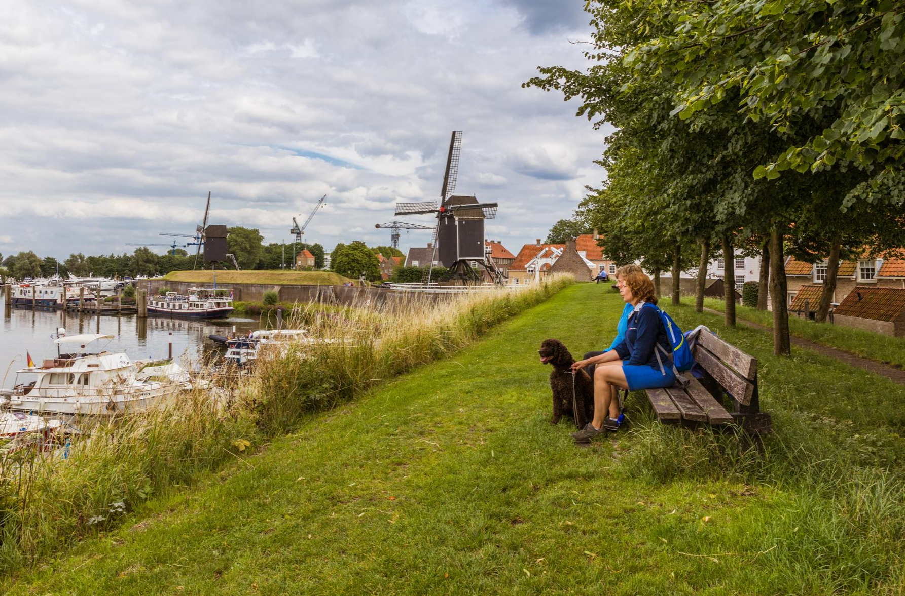
Hiking in Brabant – in Van Gogh’s footsteps in Southern Netherlands
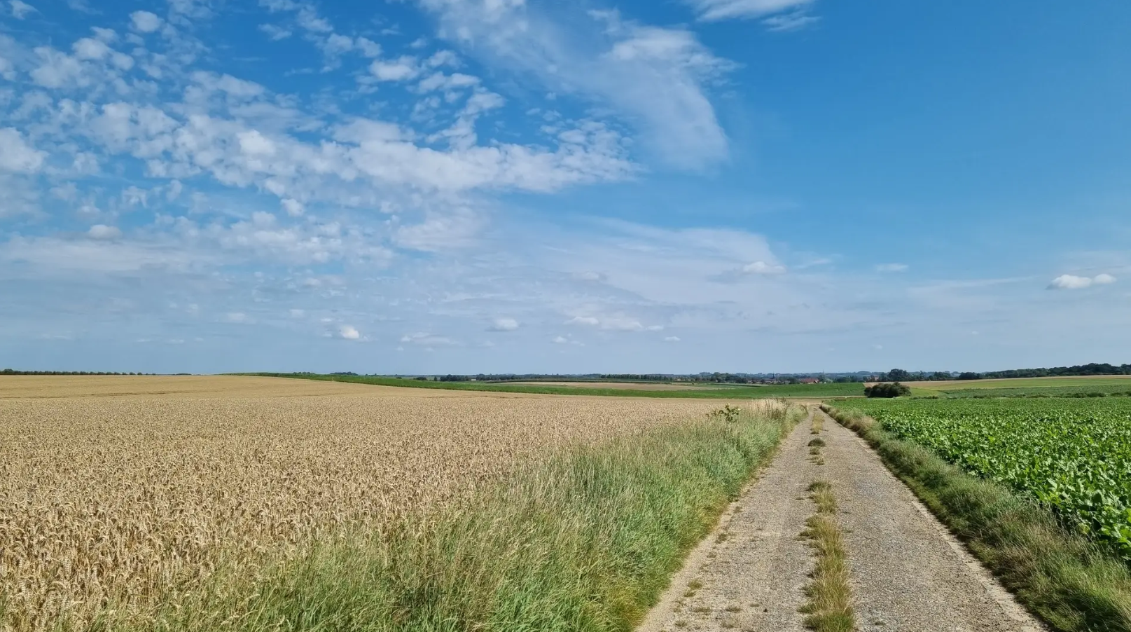
블로섬, 보센 엔 베르보르헌 에르프호드 – 스트레크-GR 하스펭고우
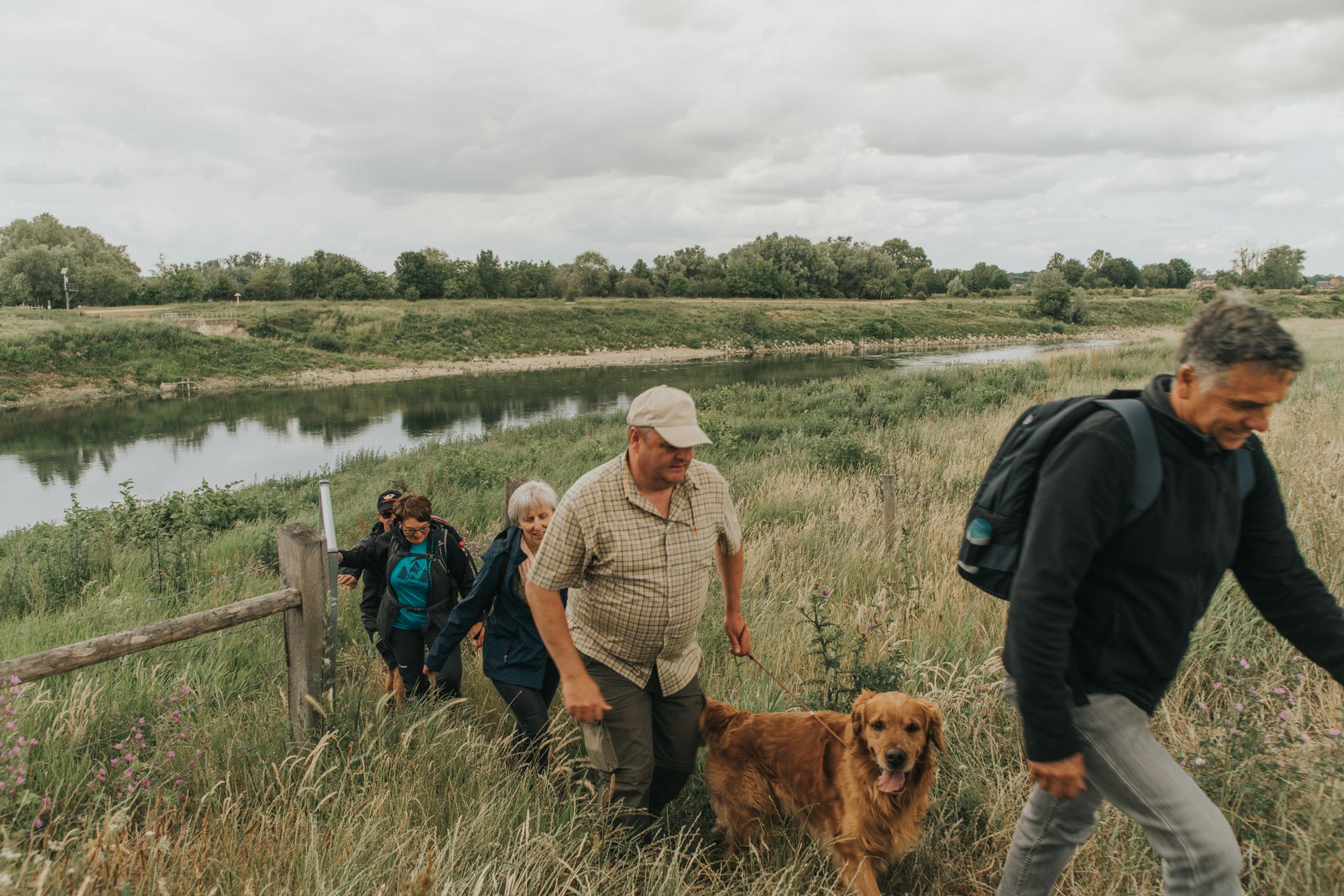
탐험 야생 강 자연 - 6 하이킹 날 RivierPark Maasvallei (LAW)
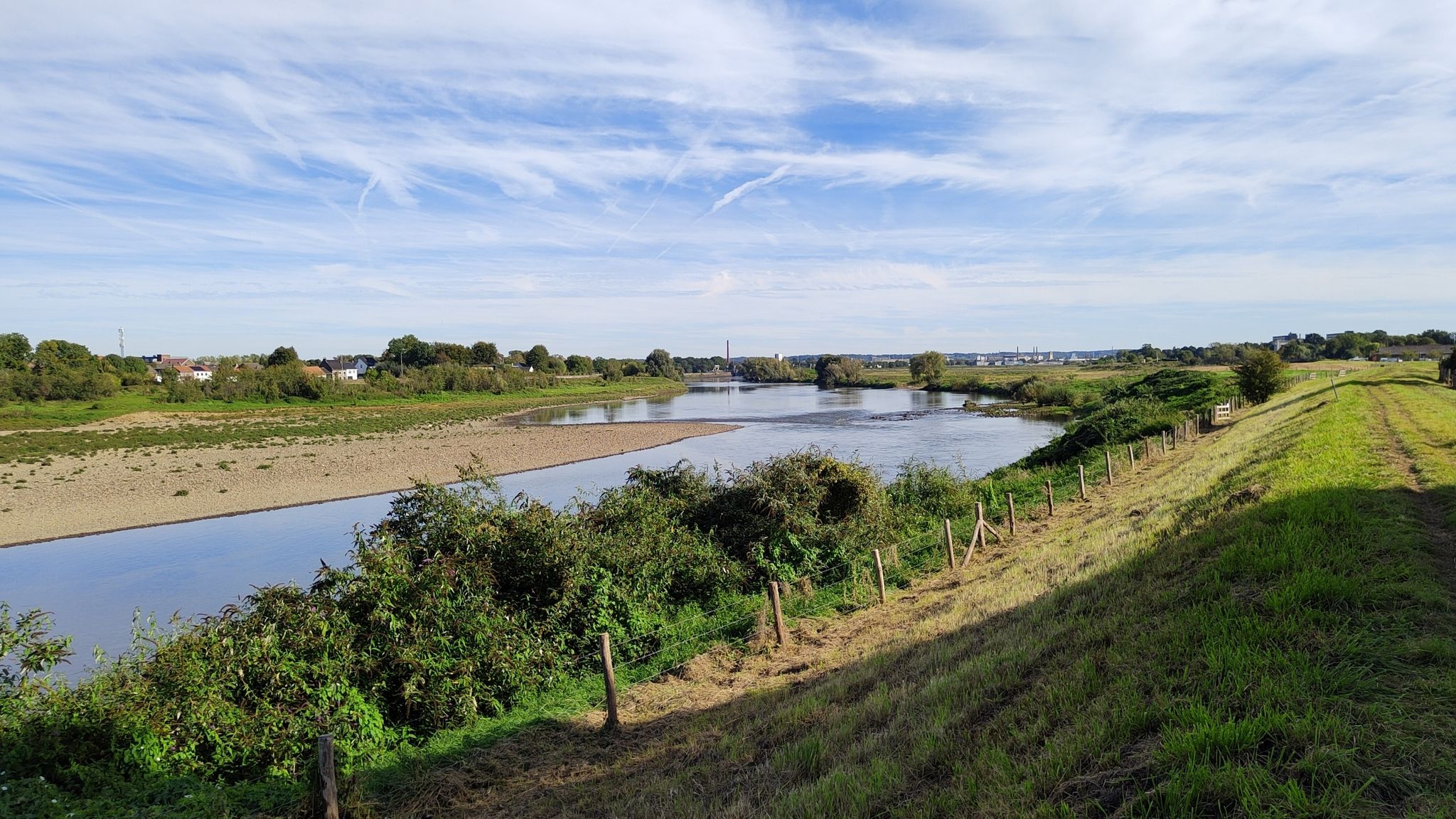
Ontdek de riviernatuur – 6 rondwandelingen in RivierPark Maasvallei
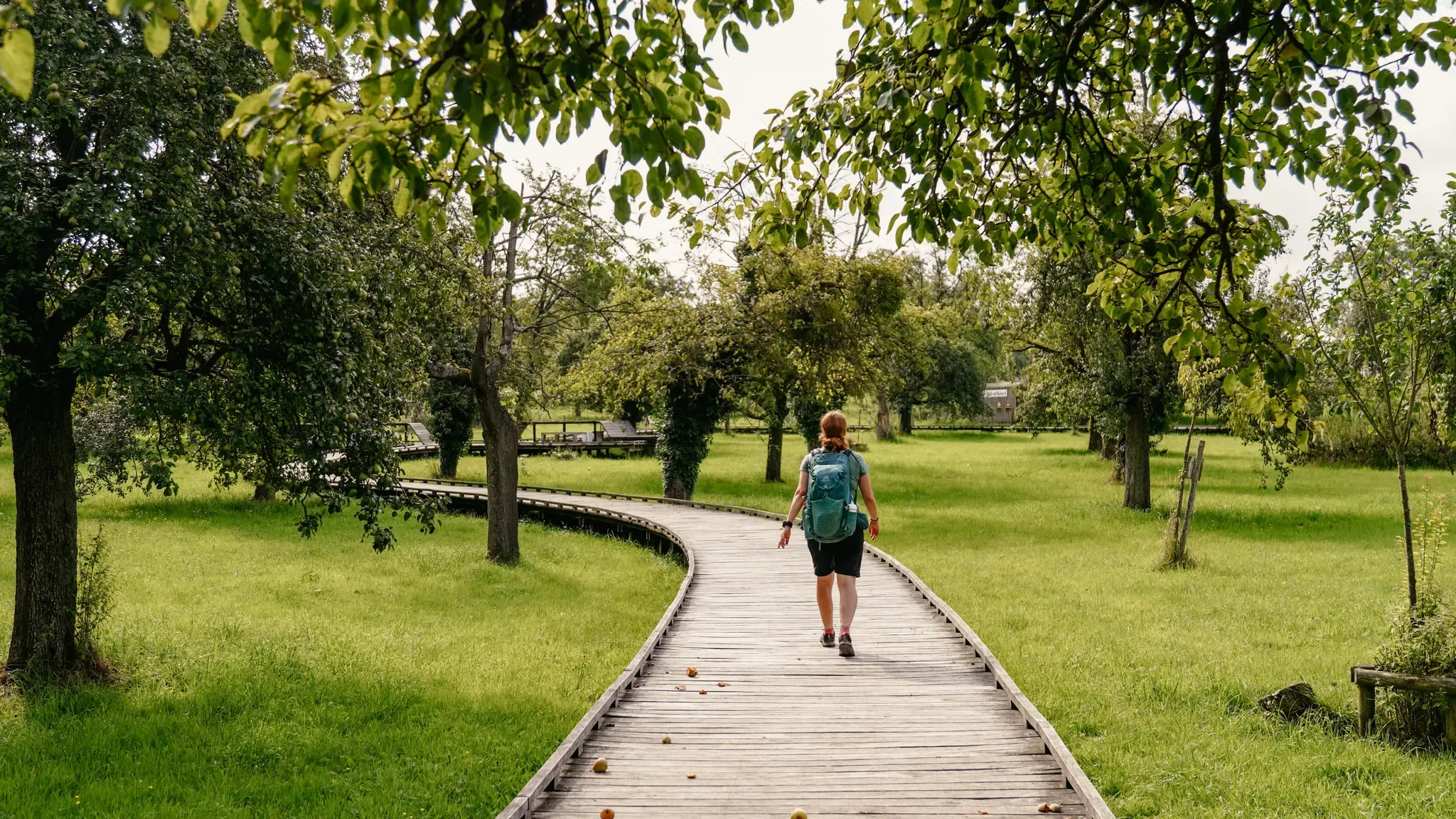
Hiking in Flanders – between dunes, forest and the scenic Meuse

사우스림부르크의 다른 모험

플랑드르에서 아르덴까지 — 벨기에 GR 5

하이킹 컬렉션 에 의해

Fred Urrutia

커뮤니티 팁

An 🇧🇪
5월 6, 2026, Sint-Odulfuskerk

이 교회는 10세기 말에 설립된 것으로 추정됩니다. 이미 1027년에 이 교회에는 참사회원들의 수도회가 있었습니다. 1047년에 리에주 대주교가 교회를 성 베드로, 바오로, 오둘푸스에게 봉헌했으며, 이로써 교회는 처음으로 기록에 언급되었습니다. 1130-1131년에 이 예배당은 부싯돌, 둥근 자갈, 사암을 건축 자재로 사용하여 로마네스크 양식의 교회로 대체되었습니다. 그리스도, 베드로, 바오로가 묘사된 부분적으로 보존되고 연대가 명시된 봉헌석이 그 시대를 증언합니다. 1290년부터 교회는 상태가 좋지 않은 것으로 기록되었습니다. 약 한 세기 후인 1396년에 로마네스크 양식의 탑이 사라지고 현재의 고딕 양식 탑(건축: 1406년)이 그 자리를 차지했습니다. 18세기에 중요한 확장 공사가 이루어졌습니다. 십자가구의 남쪽 팔은 1773년에, 북쪽 팔은 1774년에 건설되었으며, 1783년에는 대성구가 건설되었습니다. 교회의 현재 신고전주의 양식의 외관은 1903년과 1904년의 개조로 크게 결정되었습니다. 1935년부터 신고전주의 양식의 측면 복도를 제외한 교회는 보호 기념물로 지정되었습니다. 2002년에 보호 범위가 교회 전체로 확대되었습니다. 교회는 2014년과 2020년 사이에 개조되어 로마네스크, 고딕, 신고전주의 양식의 요소를 강조하여 원래의 영광을 되찾았습니다. 유용한 링크: - https://nl.wikipedia.org/wiki/Sint-Odulfuskerk_(Borgloon) - https://inventaris.onroerenderfgoed.be/erfgoedobjecten/31816 - https://www.borgloon.be/toerisme/groepsbezoeken/ontdek-borgloon/sint-odulphuskerk - https://sint-odulphuskerk.be/ - https://openchurches.eu/nl-be/gebouwen/sint-odulphus-borgloon - https://sint-odulphuskerk.be/halo-open-kerk/

번역: Google

1

0

The Schulensmeer is the largest inland lake in Flanders. Numerous benches invite you to take a break.

번역: Google

5

0

No doubt it's beautiful here...

번역: Google

5

0

For me, this is clearly the discovery of a hobbit house 😍😅

번역: Google

0

0

Mike
1월 24, 2026, Homeleswijer

Homeleswijer is one of the characteristic ponds (wijers/ponds) you'll encounter during walks through the De Maten nature reserve in the Belgian province of Limburg. It lies within the watery landscape of the reserve, which is part of the larger De Wijers pond area, a network of natural and man-made ponds that originated from centuries-old fish farming traditions in the region. In De Maten, the Stiemerbeek stream and its tributaries formed the basis for pond complexes containing water features like the Homeleswijer. Dams and overflows made fish farming possible, creating a unique marsh and pond landscape full of reed beds, open water, and wet grasslands. Walking trails through De Maten—ranging from short loops to longer hikes—run along and around these ponds. They are true natural treasures: herons, waterfowl, and typical marsh plants can be found here, and information boards often line the path explaining the ecology and water management. Many walks along the Homeleswijer are signposted and start, for example, at the Slagmolen in Genk or at other access points in De Maten.

번역: Google

0

0

This 380-meter pontoon bridge guides you gracefully between the slag heaps and across the water. Along the way, you'll be treated to a stunning 360° experience with views of the glistening water and the green slag heaps. "Cycling & Walking among the Slag Heaps" is a unique experience when visiting Hoge Kempen National Park!

번역: Google

4

0

Mike
12월 20, 2025, Rustbank with a view

On many walking and cycling routes in the green landscape around Bokrijk and De Wijers, you'll find benches specially placed in spots offering beautiful views of the ponds, reed beds, and water features. These resting places invite you to sit quietly, absorb the scenery, and listen to the sounds of nature. Walking or cycling along the paths, you'll often see these benches strategically placed in spots offering expansive views, for example, of open water or green fields, allowing you to truly relax and enjoy the surroundings. The benches are part of various signposted walking and cycling routes through De Wijers and Bokrijk, ranging from short loops along ponds to longer trips of several kilometers. What's special about these resting places is that they're more than just stops; they're integrated into the experience of nature itself. While you relax, you might hear reed birds, see dragonflies skimming the water, or simply experience the tranquility of the watery landscape. On some routes, such as walks around the De Wijers ponds or along the "Cycling through Water" route, these benches offer a vantage point perfect for a picnic break, taking photos, or simply enjoying the light on the water. The views and tranquility make these spots popular with walkers and cyclists of all ages.

번역: Google

2

0

Mike
11월 17, 2025, Thor Parc

On the outskirts of Genk lies Thor Park, a unique place where natural heritage and technology converge. This former mining site has been transformed into one of the official gateways to the Hoge Kempen National Park, and you can feel it from the moment you enter. Here begins a landscape that has been constantly evolving: from industrial worksites to vast nature reserves where tranquil heathland and forests once again take center stage. Numerous walks depart from the park, taking you deeper into nature. The Klaverberg, a green slag heap towering above the landscape, offers expansive views of Genk and the surrounding forests. The Heiderbos welcomes you with open pine forests, soft moss, and heather vegetation that glows purple in summer. Even lower in the landscape lies the Thorpark Valley, a serene depression where water zones, young plants and birds, are slowly taking their place. Boardwalks lead you past heathland fens and wetlands so characteristic of the Hoge Kempen: quiet, fragile, and beautiful. It's an area built on the remains of vanished industry—a landscape that now speaks of restoration, resilience, and the power of nature. Yet, Thor Park is more than just nature today. It's also a breeding ground for the future. Where miners once dug down shafts, they're now working on solutions for tomorrow. Here you'll find EnergyVille, the research center for sustainable energy and smart energy systems. The site also boasts several modern business incubators and campuses where technology, design, and innovation reinforce each other. This tension between past and future—between old mining structures and sleek modern buildings—gives Thor Park its unique character. It feels like walking through a place that's constantly reinventing itself. Dotted between the buildings are paths and open spaces, artworks that perfectly complement the story of Thor Park. "Courteous Bow" and "Greeting" are beautiful examples: wooden sculptures that gently evoke human interaction and encounters in the heart of an environment that once revolved around labor and industry. They add a touch of poetry to the landscape. Thor Park is much more than a starting point: it's a place where nature embraces the past and where innovation shapes the future. An area where every walk brings a piece of history, a view, restoration, and tranquility, and where you enter the Hoge Kempen region with the feeling that the landscape has been waiting for you for centuries.

번역: Google

1

0

사우스림부르크에서 가장 인기 있는 경로

사우스림부르크 가족 하이킹

사우스림부르크에서 가장 인기 있는 명소

Places to see

Store rating

komoot 모바일 앱으로 영감을 받아보세요

무료 komoot 계정로 끝없는 야외 모험을 손쉽게 찾고, 맞춤 설정하며 길안내할 수 있어요.

또는

지금 komoot에 가입하세요

Store rating

찾고 계신 것을 찾지 못하셨나요?

사우스림부르크에서 더 많은 하이킹를 확인하고 목적지에서 완벽한 경로를 찾아보세요.

마세이크통게렌하셀트

더 살펴보기

다른 지역의 최고의 하이킹를 살펴보세요.

다른 탐험 장소

근처 어드벤처 가이드

Vlaams Natuurreservaat Molenheide 즐길거리

background

새로운 정복을 위한 준비를 하세요

무료로 가입하기

탐험하기
경로경로 플래너기능하이킹MTB 트레일로드 사이클링 경로바이크패킹사이트맵
앱 다운로드
소셜 미디어에서 팔로우하기

© komoot GmbH

개인 정보 보호 정책