20의 디슨가지 명소 & 주요 장소
디슨에는 둘러볼 만한 장소가 많답니다. 하이킹 또는 사이클링을 좋아한다면 디슨에 숨겨진 20
가지 보석을 만날 수 있을 거예요. 이 지역의 주요 명소를 살펴보면서 다음 모험을 계획해보세요.
마지막 업데이트: 10월 9, 2026


이런 장소를 발견하려면 지금 가입하세요
최고의 싱글 트랙, 봉우리 및 다양한 흥미로운 야외 장소에 대한 추천을 받아보세요.
관측 벙커 MN18 및 크누펠스톡 안내 테이블
하이라이트 • 역사적 장소
번역자 Google •
팁에 의해

오늘 무료 계정으로 시작하세요
다음 모험이 기다리고 있어요.


커뮤니티 팁

The MN18 Observation Bunker is part of the first line of defense of the Position Fortifiée de Liège (PFL), a network of bunkers built in the 1930s to defend Belgium against a German invasion. MN18 was the 18th bunker in the Margarins-Neufchâteau sector and equipped with an FM turret, recognizable by its tapered shape. During the German attack in May 1940, the bunker was destroyed by a 50 kg shaped charge placed on top of the turret, just where the periscope was located. The damage is still visible, making MN18 a tangible reminder of World War II. Right next to the bunker is the Knuppelstock orientation table, an impressive work of blue limestone with a diameter of 1.5 meters and weighing approximately one ton. The relief of the surrounding landscape is engraved on it based on data from the National Geographic Institute, with bronze details indicating the visible points. The table is also accessible for the visually impaired thanks to its tactile elements. The project, carried out by local organizations such as Qualité-Village-Wallonie and the municipality of Aubel, is unique in Belgium.
11
0
The cross, also known as the Croix sur le chemin de Fort-Pays, is attached to a chestnut tree at the entrance to a path leading through the meadows to Lammerschot and then on to Saint-Jean-Sart. This type of wayside cross belongs to the so-called petit patrimoine sacré—small religious heritage—typical of the Pays de Herve and Wallonia. Such crosses traditionally served as spiritual beacons for travelers, pilgrims, and local residents, and are often placed at crossroads, paths, or village entrances.
2
0

At this point, history and landscape converge. The MN18 observation bunker, a silent witness to the Second World War, still stands as a reminder of a turbulent period. From the bunker, you also have a unique view of the surrounding hilly landscape. Next to the bunker is the Knuppelstock orientation table, a platform that indicates the names and directions of villages, hills, and landmarks in the area. It's an ideal spot to get to know the region better and to enjoy a panoramic view of the border area between the Netherlands and Belgium.
4
0
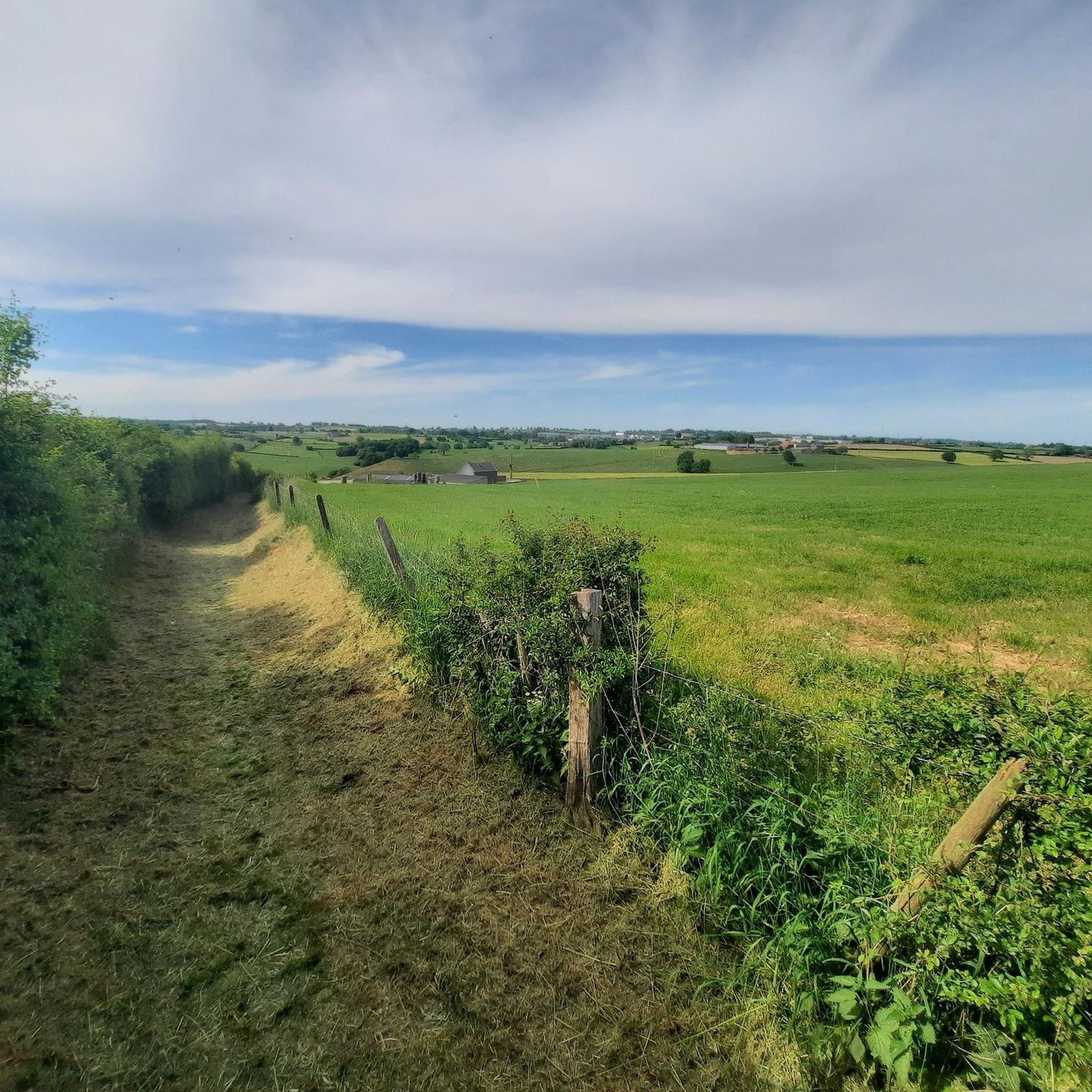
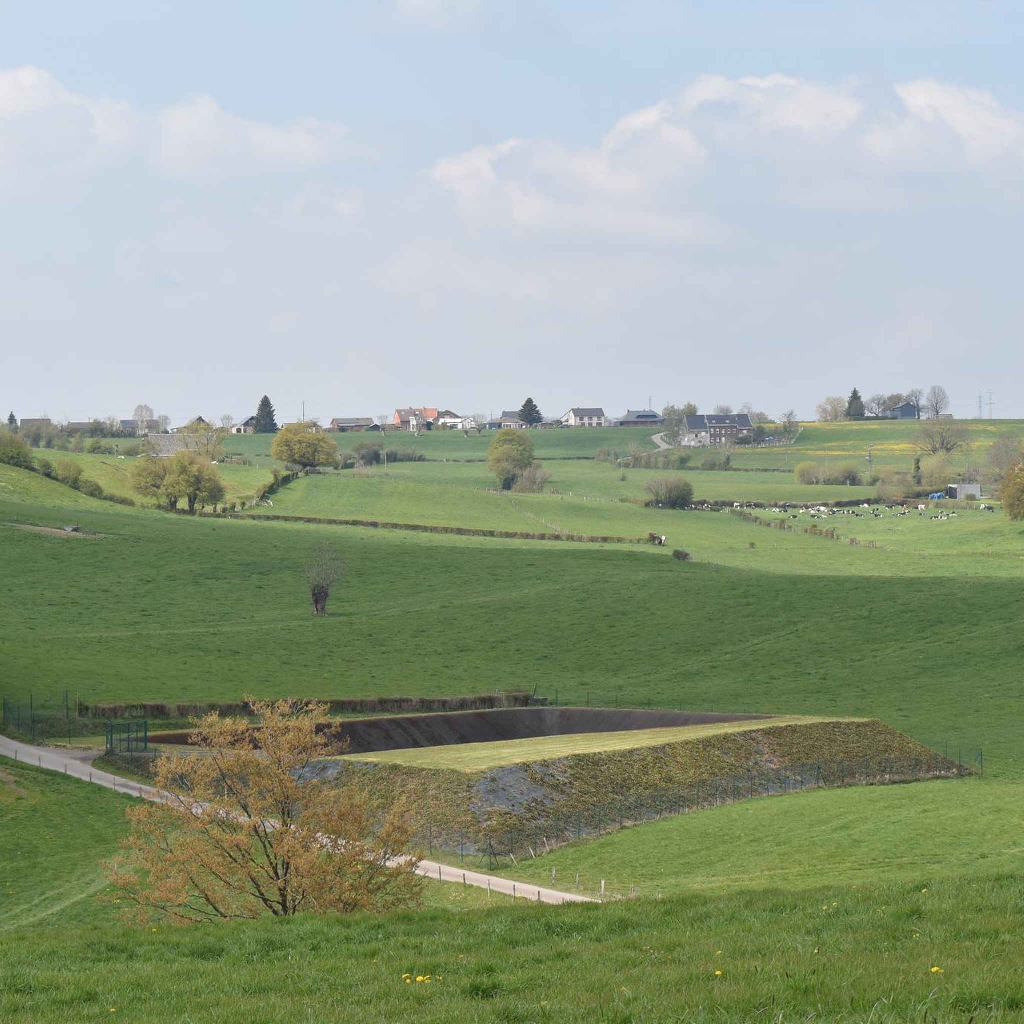
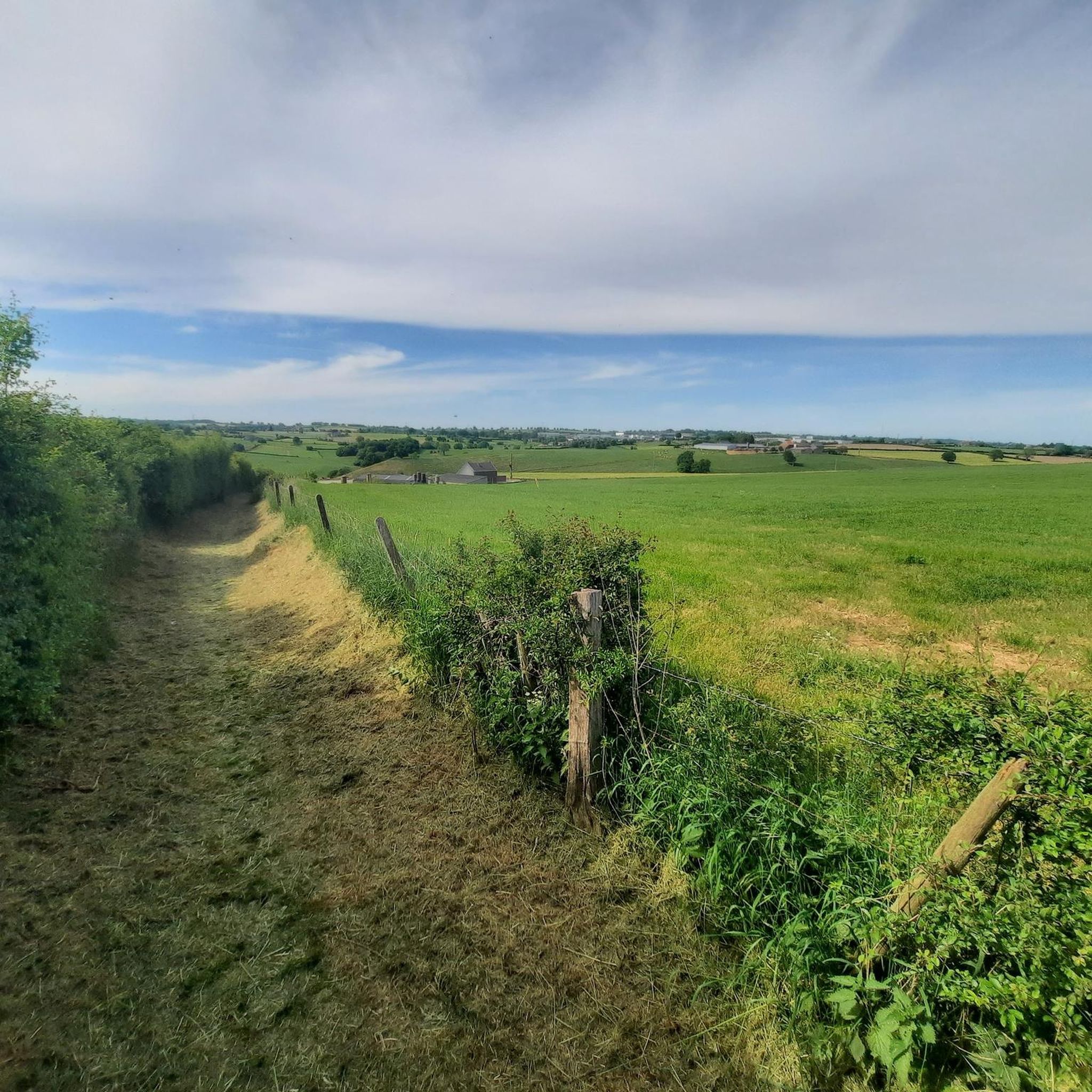
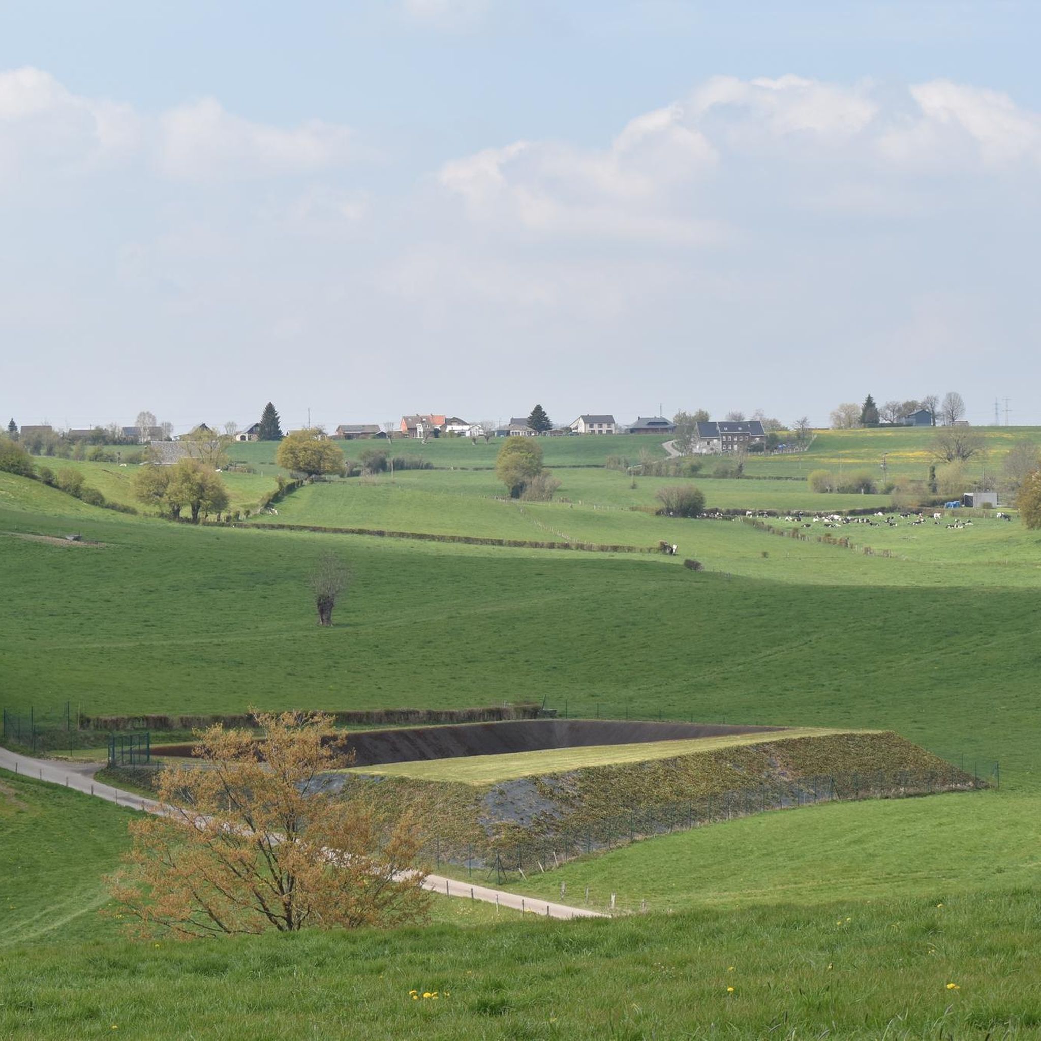
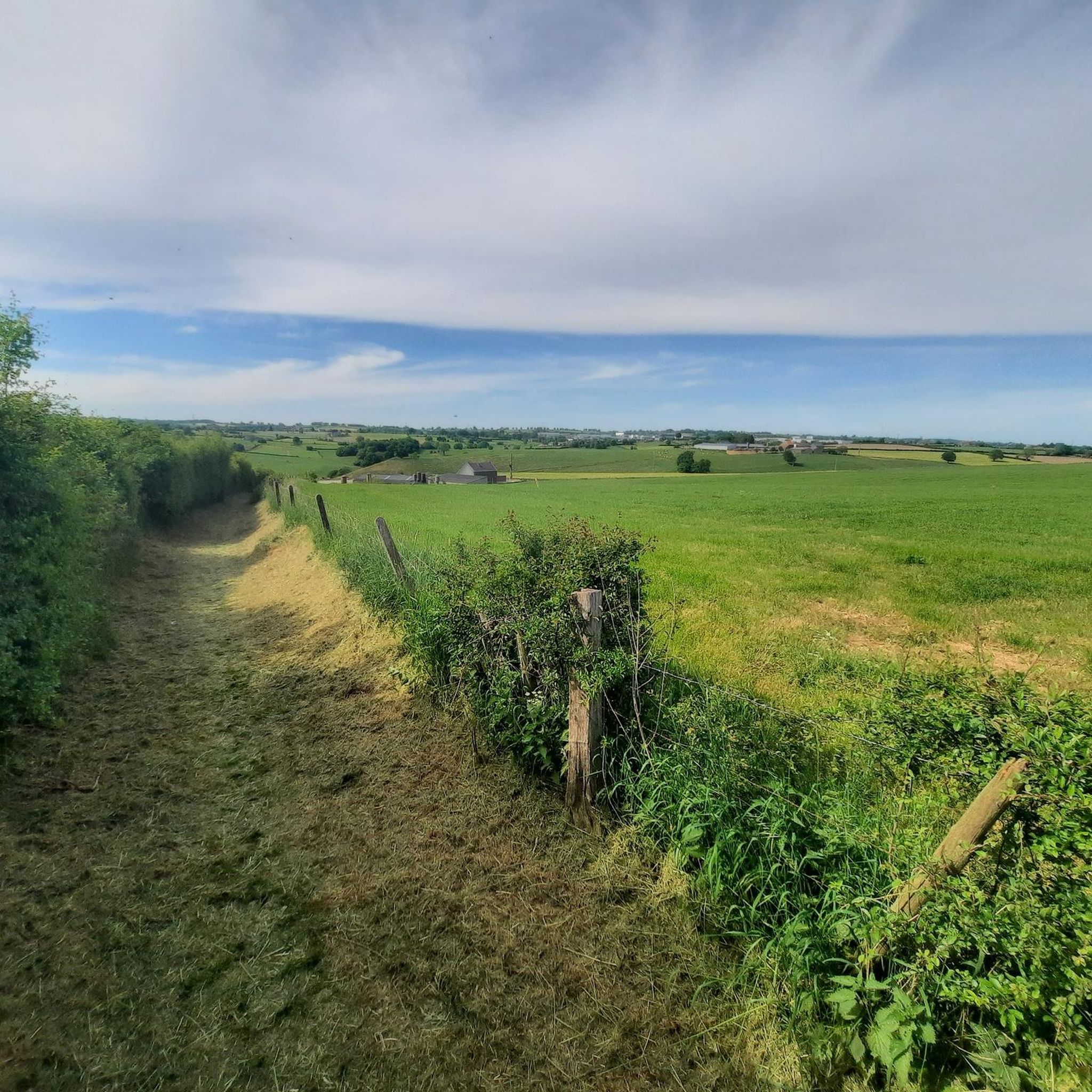
The countryside surrounding Val-Dieu offers vast fields, green meadows, and rolling hills—the perfect setting for a peaceful walk or bike ride. The landscape exudes the charm and tranquility of the Belgian hills.
0
0
Take a seat on this bench and enjoy a beautiful view over the valley and the Abbey of Val-Dieu.
1
0

It stands on the crest of the dam and faces north-east, towards the former district town of Eupen and the former Prussian border, which was about 5 km away. The artist was Antoine-Félix Bouré (1831–1883). The lion was completely restored in October 2000.
9
0

Superb walk. Beautiful region and tasting of Val Dieu Trappist, a treat
3
1

디슨 주변에서 가장 인기 있는 명소


더 살펴보기
찾고 있는 하이라이트를 아직 못 찾으셨나요? 다른 지역의 주요 명소 가이드를 확인해보세요:
