디슨 최고의 러닝 경로
4.4
(590)
20,026
달리기 하는 사람
50
러닝
Dison 주변의 조깅 코스는 구불구불한 언덕과 자연 지형을 포함한 다양한 지형으로 특징지어지는 풍경을 가로지릅니다. 이 지역은 탁 트인 길과 역사적 랜드마크를 지나는 코스가 혼합되어 있습니다. 많은 달리기 코스에서 고도 상승은 중간 정도이며, 극심한 오르막 없이 좋은 운동 효과를 제공합니다. 트레일 네트워크는 쉬운 길부터 더 도전적인 코스까지 다양한 수준의 옵션을 제공합니다.
Dison 주변 최고의 조깅 코스
- 가장 인기 있는 조깅 코스는 Dison 출발 Nutons' Cave – Nez de Napoléon 루프로, 9.6마일(15.5km) 길이이며 완료하는 데 1시간 56분이 걸립니다. 이 코스는 자연…
마지막 업데이트: 10월 18, 2026
4.5
(4)
194
달리기 하는 사람
15.5km
01:56
390m
390m
어려운 조깅. 우수한 체력 필요. 대부분 포장된 노면.
4.8
(5)
65
달리기 하는 사람
8.53km
00:55
110m
110m
보통 조깅. 좋은 체력 필요. 대부분 포장된 노면.

51
달리기 하는 사람
8.15km
00:59
170m
170m
보통 조깅. 좋은 체력 필요. 대부분 포장된 노면.
48
달리기 하는 사람
9.72km
01:13
200m
200m
보통 조깅. 좋은 체력 필요. 대부분 포장된 노면.
5.0
(3)
46
달리기 하는 사람
11.4km
01:16
220m
220m
보통 조깅. 좋은 체력 필요. 대부분 포장된 노면.
더 다양한 경로와 다른 탐험가들의 추천을 살펴보세요.
이미 komoot 계정이 있나요?
투어 추천은 다른 사람들이 komoot에서 완료한 수천 개의 활동을 바탕으로 구성되어 있습니다.
오늘 무료 계정으로 시작하세요
다음 모험이 기다리고 있어요.


커뮤니티 팁

여기는 조금 조심해야 하지만, 경치는 볼 만합니다.
2
0
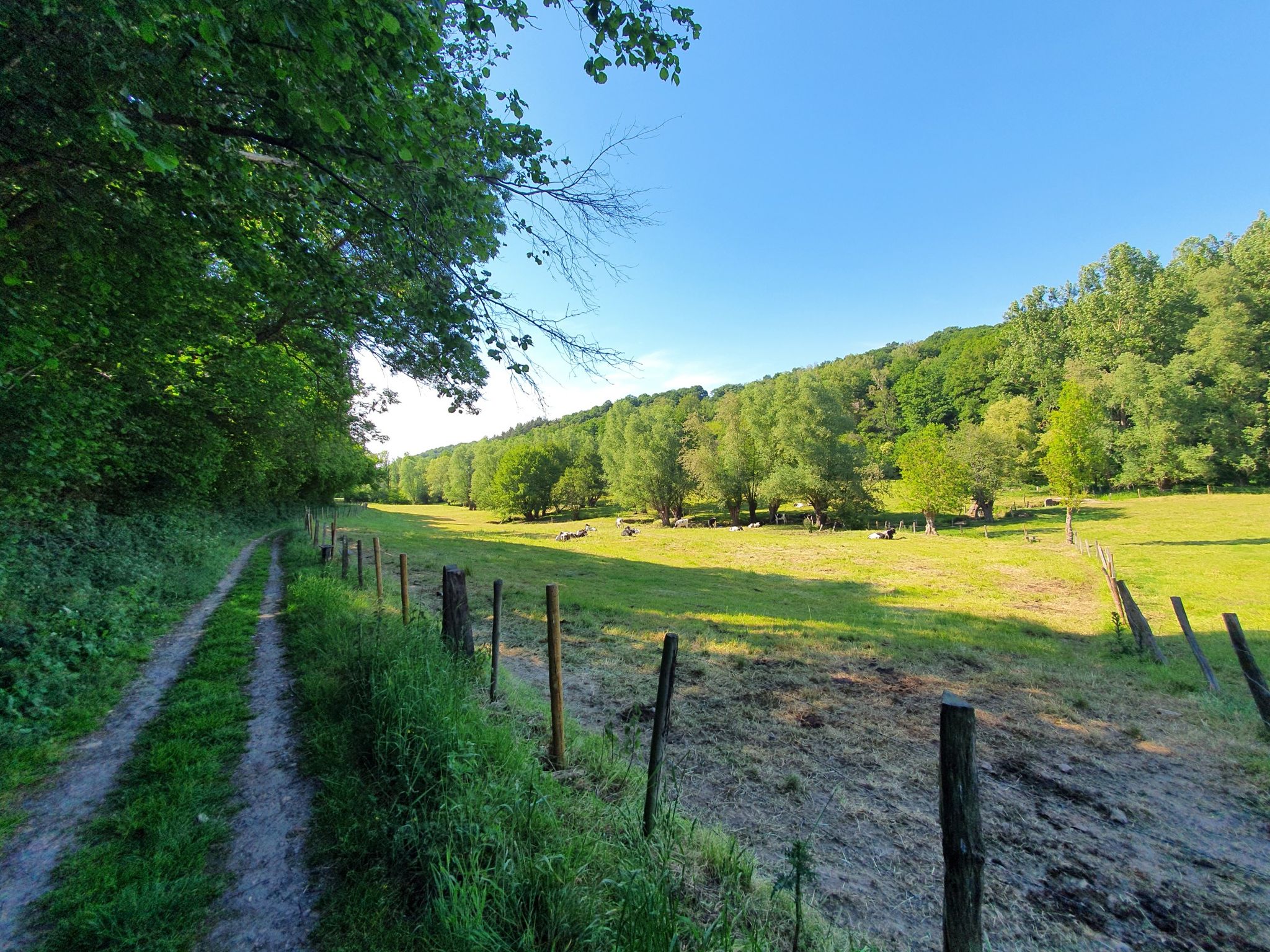
The Ruisseau de Villers, also known locally as La Pancherelle, is a small stream that flows through the rural landscape of Écaussinnes and forms a tributary of the Sennette. The stream flows through a green, gently rolling valley characterized by wet meadows, forest edges, and old bridges.
3
0

Simply amazing but very steep as it starts at the foot of the rock...
6
0
The tough climb gives you its reward here...
7
0

Beautiful view from a rocky point on the Vesdre bend near Bellevaux.
3
0

This cave is located on the left bank of the Ruisseau de Villers (La Pancherelle) and is located a little higher up along the hiking trail, in the forests of Saint-Jacques. The "nuton" (or lûton, nûton, gnome in Dutch) is a small creature from the folklore and popular beliefs of the French and Belgian Ardennes. The nuton has the same origins as the gnome, but according to local folklore, caves, caverns and underground passages make up most of its habitat, much like the dwarves of the Germanic world.
6
0
Here you walk for a kilometer parallel to the small stream La Pancherelle. On Google Maps it is indicated as the Ruisseau de Villers. Villers is a small hamlet of the city of Limbourg. It is located north of Bilstain and is bordered to the east by the Ruisseau de Villers.
7
0
디슨 주변에서 가장 인기 있는 명소


더 살펴보기
다른 지역의 최고의 러닝 트레일 & 경로를 살펴보세요.
