안포 최고의 워킹 & 하이킹 경로
4.4
(1039)
4,672
등산객
37
하이킹
정확한 경로를 찾는 것이 때로는 어렵지만 안포에서 하이킹을 하면 다양한 경치를 마음껏 감상할 수 있답니다. 안포에서 가장 멋진 하이킹과 워킹 중에서 마음에 드는 활동을 시작해보세요.
마지막 업데이트: 10월 10, 2026
4.6
(105)
301
등산객
6.42km
02:38
450m
440m
Hike the moderate Santa Petronilla - Coca Chetoi Trail, covering 4.0 miles with 1474 feet of elevation gain to stunning waterfalls.
4.5
(4)
17
등산객
10.1km
05:14
970m
970m
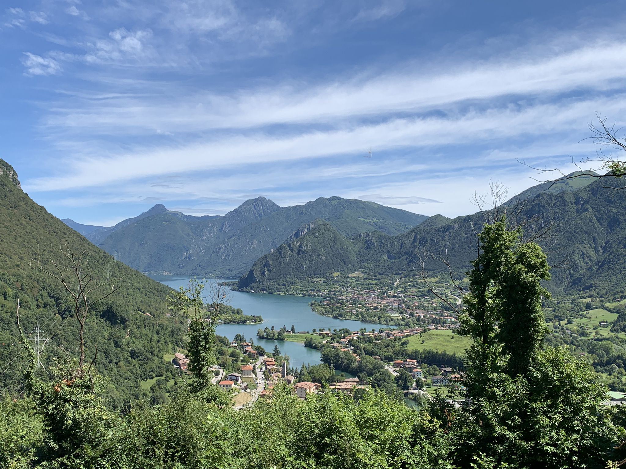
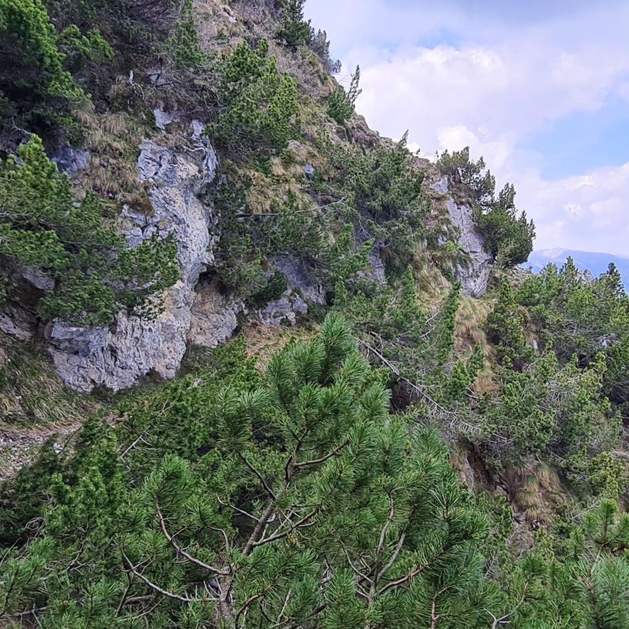
Mountain trail above Lake Idro with rocky cliffs and panoramic views from Cima Valcaelli.

5.0
(1)
7
등산객
16.9km
06:17
1,140m
1,130m
Forest paths and meadows lead to Passo della Spina with sweeping Brescia Alps views.
Pine-scented ridge hike following Torrente Scornabo to Monte Paghera's summit overlooking Lake Idro.
11.1km
04:48
700m
700m
Hike the moderate Cima Ora Fort Loop for historic World War I fortifications and panoramic views of Lake Idro and surrounding mountains.
더 다양한 경로와 다른 탐험가들의 추천을 살펴보세요.
이미 komoot 계정이 있나요?
투어 추천은 다른 사람들이 komoot에서 완료한 수천 개의 활동을 바탕으로 구성되어 있습니다.
오늘 무료 계정으로 시작하세요
다음 모험이 기다리고 있어요.


커뮤니티 팁

On the east side there is an alternative route up to the fort which also passes through a short section of iron path and a long, slender ladder that overcomes a wall of about fifteen metres.
0
0


the real path to Mount Censo starts from here
0
0


Italian fort of the First World War, the enormous complex of buildings, although abandoned, manages to make most people imagine what life was like on the front more than 100 years ago. anyone intending to visit it should do so with extreme caution! ⚠ the entire structure falls apart!
0
0

The Cima Ora fort is part of the route of forts and artefacts on the trail of the 1915-18 war on Lake Garda. From its roof, where currently only the holes where the cannon batteries were positioned remain, you can admire a breathtaking 360 degree panorama from Mount Baldo to Lake Idro and Mount Maniva. At the start of the road that leads to the fort there is an information sign explaining the history and construction.
4
0

Monte Censo (1,012 m) is one of them. In note you take the road to Baremone; After 2 hairpin bends and a long right bend you will see a small church on the right. Park your car next to or near the small church. From there you continue on foot on path 433. In terms of difficulty, this path is classified as moderately difficult. After a short hike of an hour and a half you reach the summit. From there you can admire the entire lake from north to south.
0
0

The majestic fortification was built starting in 1913 and was part of the second defensive line called "Giudicarie Barrage". The vegetation has taken over the structure and does not allow panoramic views but at the time you could control the entire northern part of Lake Iseo from here.
0
0


더 살펴보기
다른 지역의 최고의 하이킹를 살펴보세요.
