산 고덴조 최고의 워킹 & 하이킹 경로
4.6
(1201)
4,598
등산객
76
하이킹
정확한 경로를 찾는 것이 때로는 어렵지만 산 고덴조에서 하이킹을 하면 다양한 경치를 마음껏 감상할 수 있답니다. 산 고덴조에서 가장 멋진 하이킹과 워킹 중에서 마음에 드는 활동을 시작해보세요.
마지막 업데이트: 10월 10, 2026
4.7
(168)
719
등산객
14.4km
05:37
540m
540m
어려운 하이킹. 우수한 체력 필요. 대부분 갈 수 있는 길. 미끄러지지 않게 조심해야 함.
3.7
(20)
63
등산객
16.0km
06:05
630m
630m
어려운 하이킹. 우수한 체력 필요. 대부분 갈 수 있는 길. 미끄러지지 않게 조심해야 함.

4.8
(4)
11
등산객
24.3km
09:43
1,330m
1,330m
어려운 하이킹. 우수한 체력 필요. 튼튼한 신발을 신고 미끄러지지 않게 조심해야 하며, 높은 산을 오른 경험이 있어야 함.
4.0
(2)
10
등산객
11.6km
04:42
610m
610m
보통 하이킹. 좋은 체력 필요. 대부분 갈 수 있는 길. 미끄러지지 않게 조심해야 함.
5.0
(1)
11
등산객
4.03km
01:31
140m
140m
보통 하이킹. 모든 체력 수준에 적합. 대부분 갈 수 있는 길. 미끄러지지 않게 조심해야 함.
더 다양한 경로와 다른 탐험가들의 추천을 살펴보세요.
이미 komoot 계정이 있나요?
투어 추천은 다른 사람들이 komoot에서 완료한 수천 개의 활동을 바탕으로 구성되어 있습니다.
오늘 무료 계정으로 시작하세요
다음 모험이 기다리고 있어요.
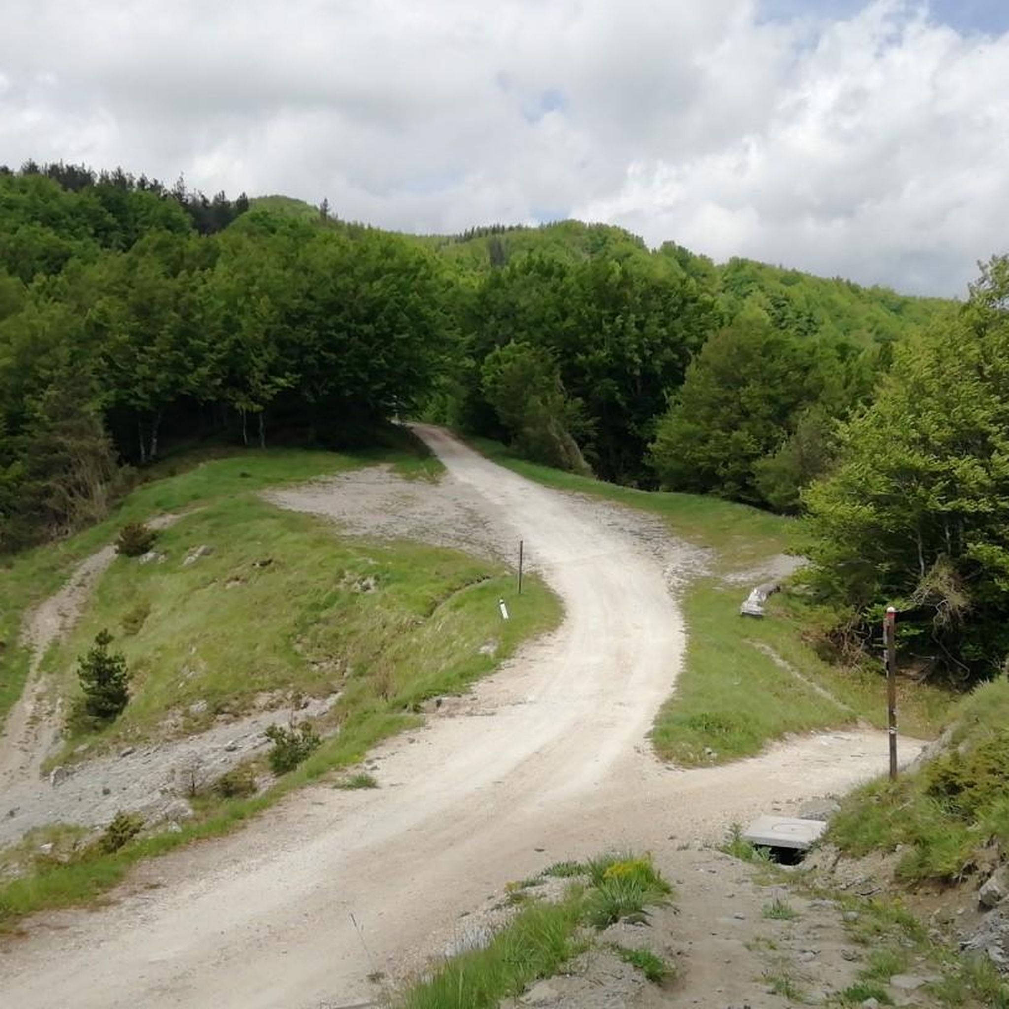


커뮤니티 팁


A peak a few meters lower than nearby Monte Falco, which is the highest point in the entire Casentino area. It's best known for its source, the Arno River, about 300 square meters below, on its southern slope. It offers a beautiful view of the surrounding valleys and mountains.
7
0


Around Monte Falterona, you walk through a pretty beech forest and along beautiful hiking trails covered in beech leaves – very atmospheric. The higher you go, the smaller the trees grow. This is where the turnoff to the summit is – with a gentler gradient than the ascent from the west.
0
0
A beautiful hiking trail from the source of the Arno to the summit: not too steep and through a beautiful, shady beech forest. From the summit, there are great views to the west.
1
0


You should update the description as it has been a private residence for several years now and no longer open to the public.
1
0

Route from Osteria Nuova (path 405) passing through: - Acquacheta waterfall (8.1 km) - Spring or fountain (9.9 km) - San Benedetto in Alpe note: leaving San Benedetto you follow an unmarked off-trail track, after a first short but intense climb, you cross an uncultivated field, after which we lost the track and had to improvise in the middle of the woods until we reached a stream that we forded barefoot. At this point we reached the road a few hundred meters from our car.
1
0


더 살펴보기
다른 지역의 최고의 하이킹를 살펴보세요.
