산 고덴조 최고의 사이클링 경로
4.2
(76)
1,261
자전거 타는 사람
77
라이딩
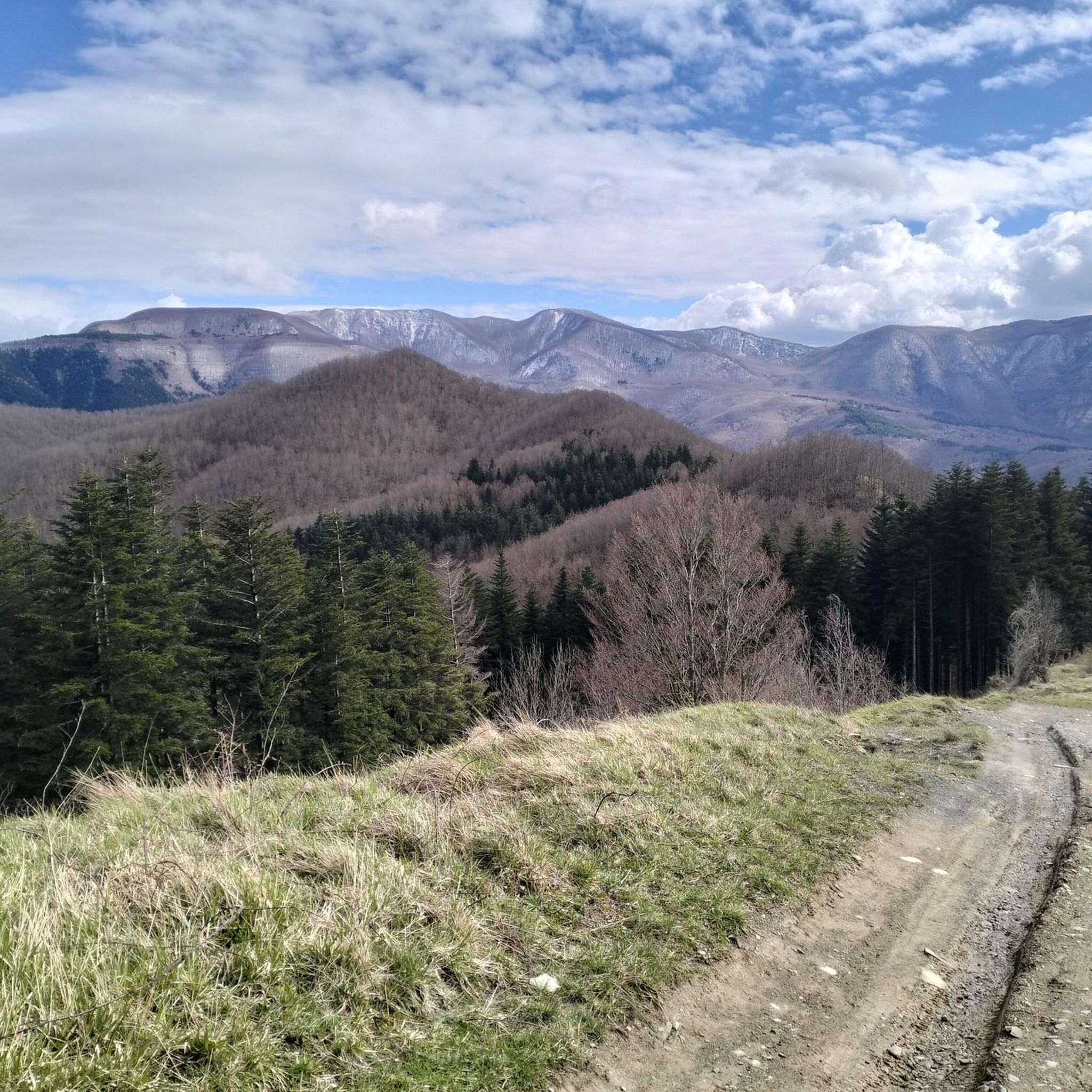
San Godenzo 주변의 투어링 사이클링은 무젤로(Mugello)와 카센티노(Casentino) 계곡 사이에 위치한 토스카나 아펜니노(Tuscan Apennines)를 통과하는 루트를 제공합니다. 이 지역은 종종 900미터를 초과하는 고도를 가진 산악 지형을 특징으로 하며, 울창한 숲과 그림 같은 강 계곡이 특징입니다. 이 풍경은 카센티노 숲, 몬테 팔테로나, 캄피냐 국립공원(Foreste Casentinesi, Monte Falterona, Campigna National Park)의 일부를 형성하며 사이클링을 위한 다양한 환경을 제공합니다. 사이클리스트는 강변 길부터 도전적인 산악 고개까지 다양한 지형에서 상당한 고도 상승을 예상할 수 있습니다.
San Godenzo 주변 최고의 투어링 사이클링 루트
- 가장 인기 있는 투어링…
마지막 업데이트: 10월 3, 2026
5.0
(3)
31
자전거 타는 사람
32.8km
03:00
910m
910m
어려운 자전거 타기. 우수한 체력 필요. 대부분 포장된 지면. 실력과 관계없이 누구나 갈 수 있음.
16
자전거 타는 사람
136km
09:23
2,150m
2,150m
어려운 자전거 타기. 우수한 체력 필요. 대부분 포장된 지면. 실력과 관계없이 누구나 갈 수 있음.

7
자전거 타는 사람
67.5km
06:01
1,890m
1,890m
어려운 자전거 타기. 우수한 체력 필요. 대부분 포장된 지면. 실력과 관계없이 누구나 갈 수 있음.
5.0
(1)
13
자전거 타는 사람
38.8km
03:46
1,130m
1,120m
어려운 자전거 타기. 우수한 체력 필요. 대부분 포장된 지면. 실력과 관계없이 누구나 갈 수 있음.
5.0
(1)
9
자전거 타는 사람
52.7km
04:39
1,600m
1,610m
어려운 자전거 타기. 우수한 체력 필요. 대부분 포장된 지면. 실력과 관계없이 누구나 갈 수 있음.
더 다양한 경로와 다른 탐험가들의 추천을 살펴보세요.
이미 komoot 계정이 있나요?
투어 추천은 다른 사람들이 komoot에서 완료한 수천 개의 활동을 바탕으로 구성되어 있습니다.
오늘 무료 계정으로 시작하세요
다음 모험이 기다리고 있어요.


커뮤니티 팁

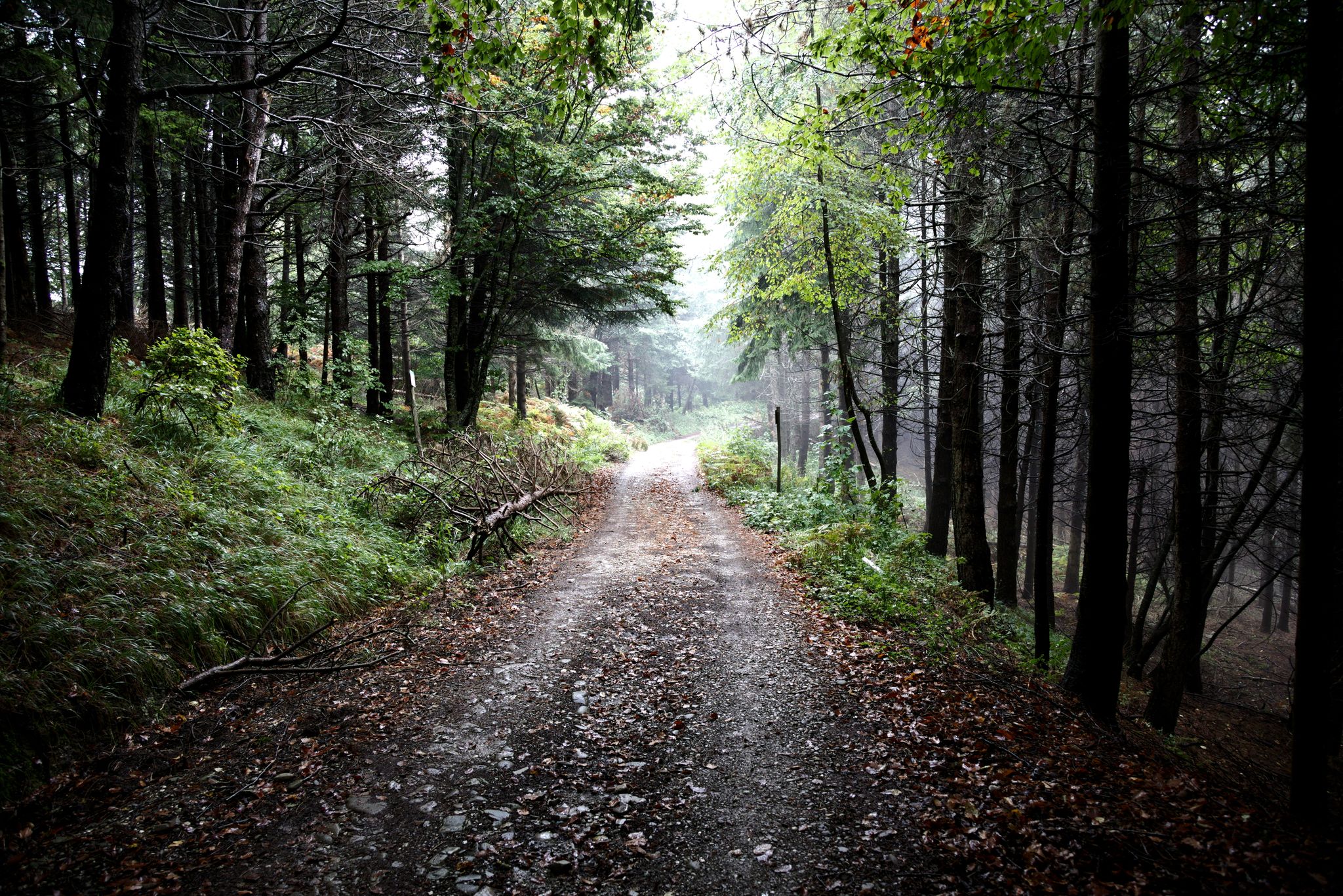
immediately after the Valico dei 3 Faggi sign you will find the sign for the entrance to the Casentinesi forests, a road all downhill immersed in the wonderful panorama and scent of the woods
0
0

The bridge allows you to avoid the state road
1
0

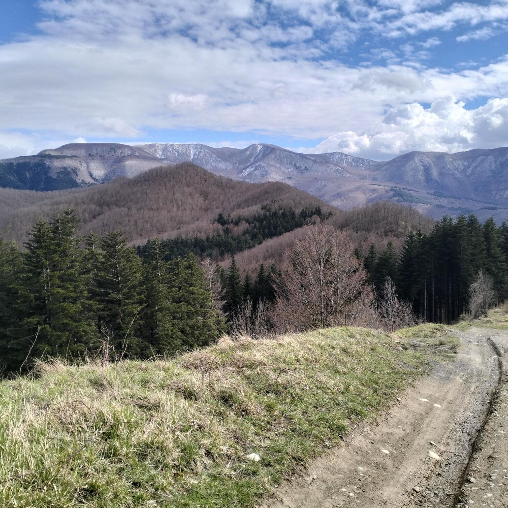
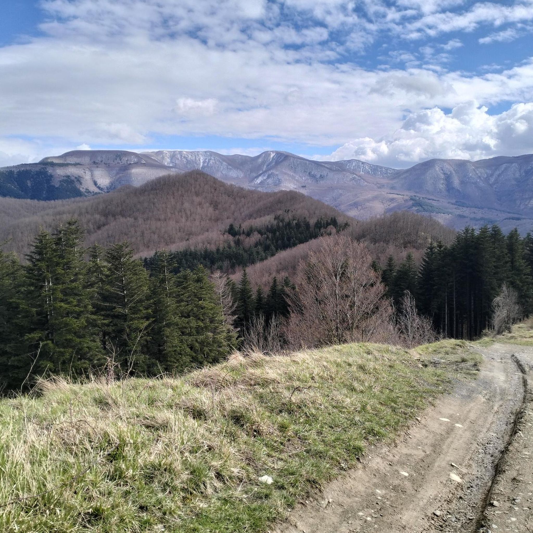
Wonderful dirt track that winds along the CAI 401 trail at altitude. It connects the Pista del Cucco (a challenging dirt climb starting from San Benedetto in Alpe) to Valico Manzo (or Passo Valbura). The difficulty is negligible, as the route is mostly flat with occasional short ups and downs. It can be easily traveled even with a gravel bike. Be careful of the many fallen trees and branches that are often found along the route. They are basically an inconvenience that can be overcome with short portage sections. ========= A wonderful dirt track that winds along the CAI 401 trail at altitude. It connects the Pista del Cucco (a challenging dirt climb starting from San Benedetto in Alpe) to Valico Manzo (or Passo Valbura). The difficulty is negligible, as the route is mostly flat with occasional short ups and downs. It can be easily traveled even with a gravel bike. Caution is advised due to numerous fallen trees and branches often found along the path. These mainly represent a manageable inconvenience, requiring short sections of portage.
2
0
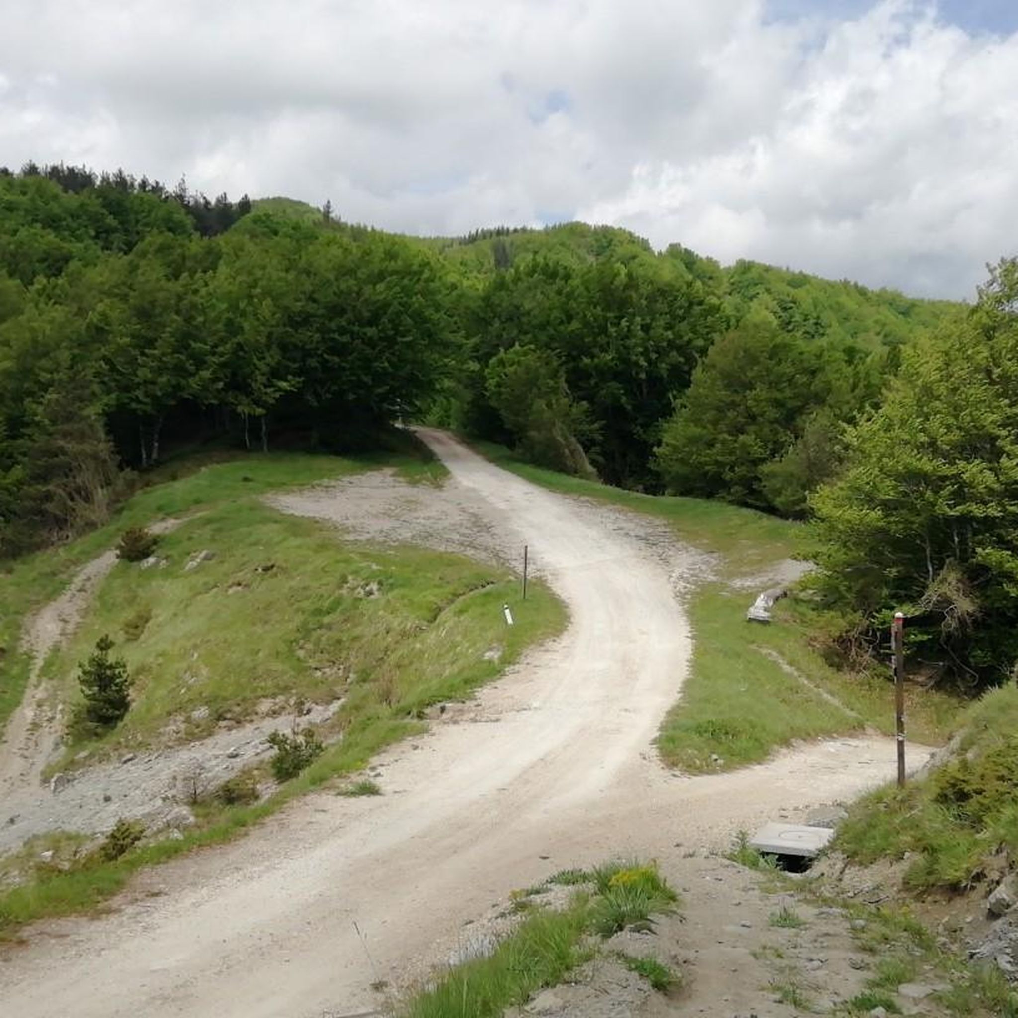
Forest dirt road that continues from Via Monte Gemelli to San Benedetto in Alpe and provides access to the CAI 401 trail, on the ridge. It is a climb on fairly compact dirt terrain but challenging. The average gradient is 10% and from San Benedetto in Alpe to the CAI 401 trail there is approximately 550 meters of positive elevation gain. ========= A forest dirt road that continues from Via Monte Gemelli to San Benedetto in Alpe and provides access to the CAI 401 trail along the ridge. It is a climb on fairly compact dirt terrain but challenging. The average gradient is 10%, and from San Benedetto in Alpe to the CAI 401 trail, there is approximately 550 meters of positive elevation gain.
2
0
Magnificent pass on the ridge that divides the Montone and Rabbi valleys. Crossed by CAI path 401, corresponding at this point to the Cammino di Sant'Antonio.
0
0

Above all, don't miss the fantastic graffiti on each pylon! Unfortunately, they are starting to fade a bit.
1
0

Route from Osteria Nuova (path 405) passing through: - Acquacheta waterfall (8.1 km) - Spring or fountain (9.9 km) - San Benedetto in Alpe note: leaving San Benedetto you follow an unmarked off-trail track, after a first short but intense climb, you cross an uncultivated field, after which we lost the track and had to improvise in the middle of the woods until we reached a stream that we forded barefoot. At this point we reached the road a few hundred meters from our car.
1
0

beautiful bridge, but the cycle path is only accessible with gravel bikes
0
0


더 살펴보기
다른 지역의 최고의 자전거 경로를 살펴보세요.
