마데시모 최고의 라이딩 경로
4.8
(153)
4,430
자전거 타는 사람
44
라이딩
마데시모의 로드 사이클링 경로를 찾으시나요? 그렇다면 마데시모 로드 라이딩 컬렉션 중에서 가장 멋진 라이딩 장소를 아래에서 살펴보세요.
마지막 업데이트: 10월 8, 2026
4.7
(14)
228
자전거 타는 사람
164km
09:31
3,850m
3,850m
어려운 도로 자전거 타기. 우수한 체력 필요. 투어 중 라이딩하기 어려운 비포장 구간이 있을 수 있음.
5.0
(4)
186
자전거 타는 사람
109km
06:16
2,460m
2,460m
어려운 도로 자전거 타기. 우수한 체력 필요. 지면 대부분이 잘 포장되어 있고 라이딩하기 쉬움.

4.4
(12)
228
자전거 타는 사람
23.7km
01:41
860m
860m
보통 도로 자전거 타기. 좋은 체력 필요. 지면 대부분이 잘 포장되어 있고 라이딩하기 쉬움.
4.8
(10)
155
자전거 타는 사람
31.2km
02:08
1,040m
1,040m
어려운 도로 자전거 타기. 우수한 체력 필요. 지면 대부분이 잘 포장되어 있고 라이딩하기 쉬움.
41
자전거 타는 사람
31.2km
02:24
1,150m
1,150m
어려운 도로 자전거 타기. 우수한 체력 필요. 지면 대부분이 잘 포장되어 있고 라이딩하기 쉬움.
더 다양한 경로와 다른 탐험가들의 추천을 살펴보세요.
이미 komoot 계정이 있나요?
투어 추천은 다른 사람들이 komoot에서 완료한 수천 개의 활동을 바탕으로 구성되어 있습니다.
오늘 무료 계정으로 시작하세요
다음 모험이 기다리고 있어요.
마데시모 주변 인기 장소
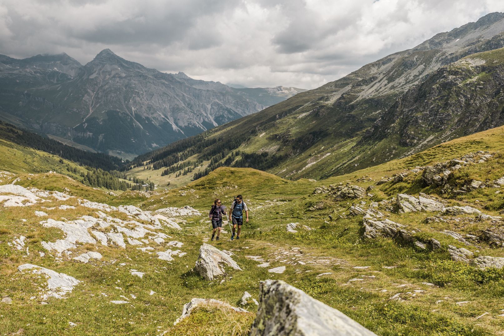
깊은 협곡, 폭포와 청록색 호수 사이 - Via Spluga
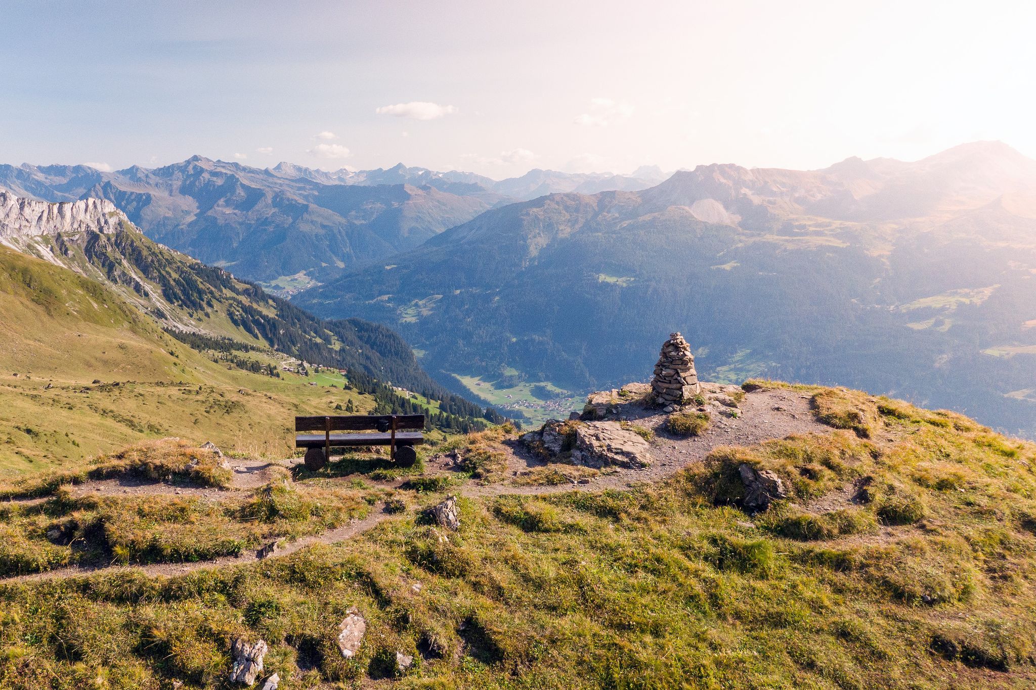
Long-distance hiking in the Grisons — 3 routes in Switzerland
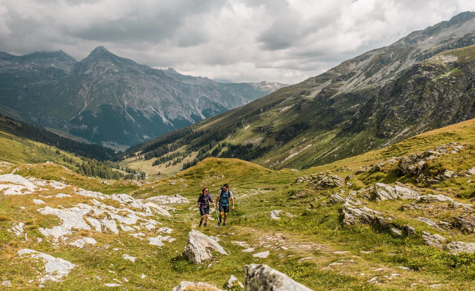
On the viaSpluga from Thusis to Chiavenna
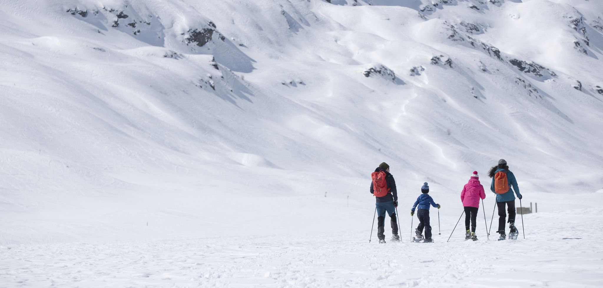
Inverno in Valtellina, a passo lento sulla neve
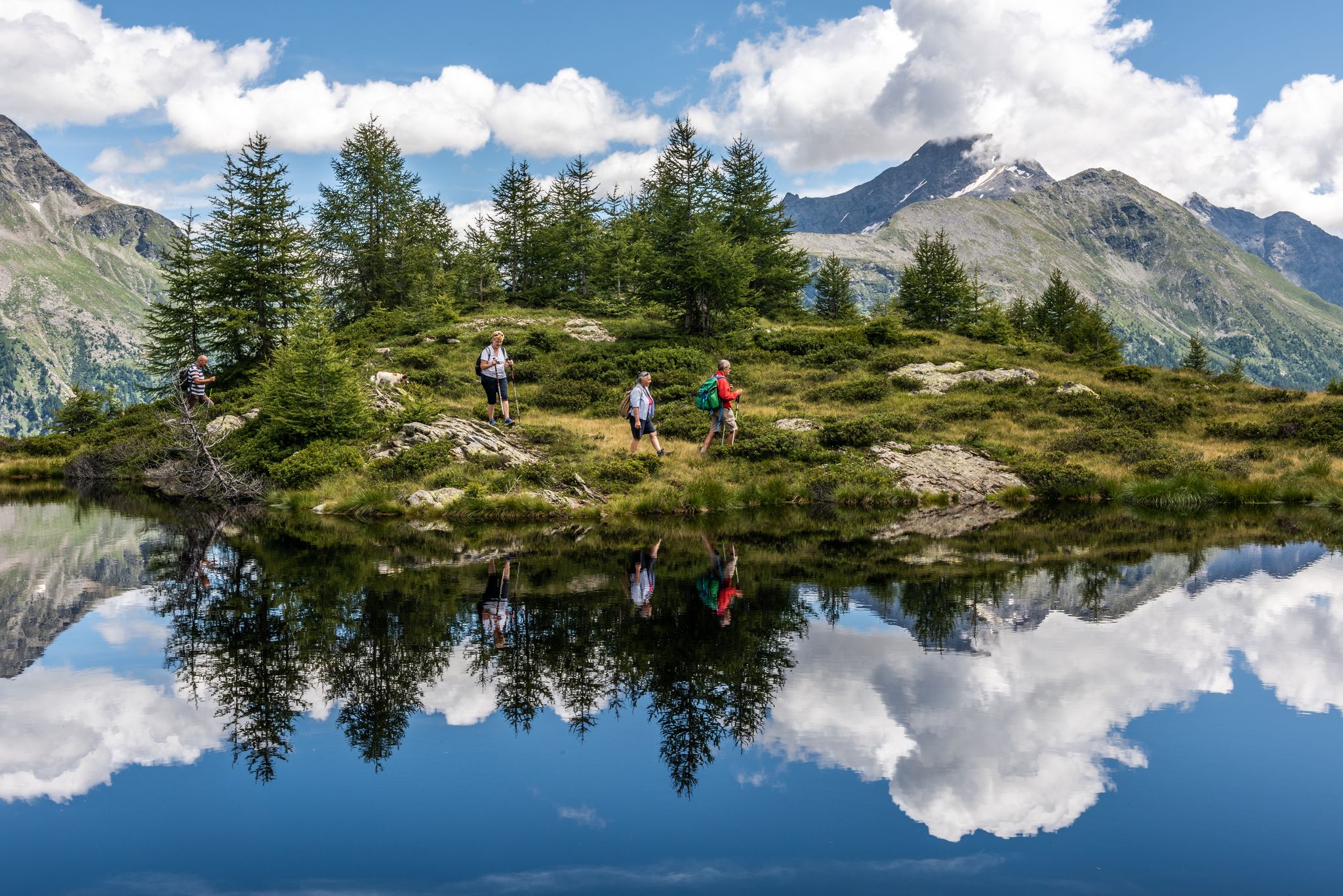
Oasi di tranquillità alpina – 5 laghi da non perdere in Valchiavenna
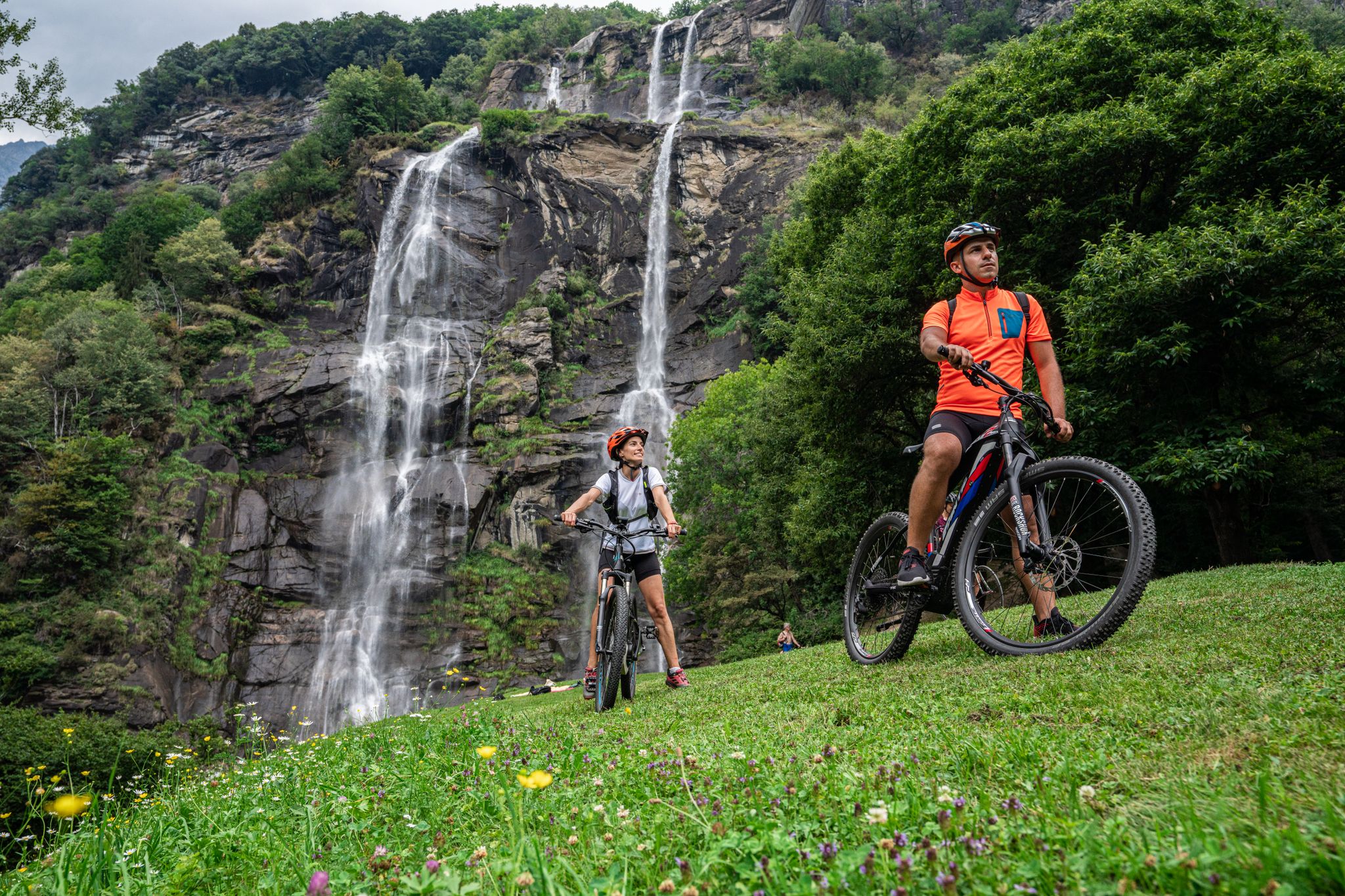
La Valchiavenna in MTB – itinerari da non perdere
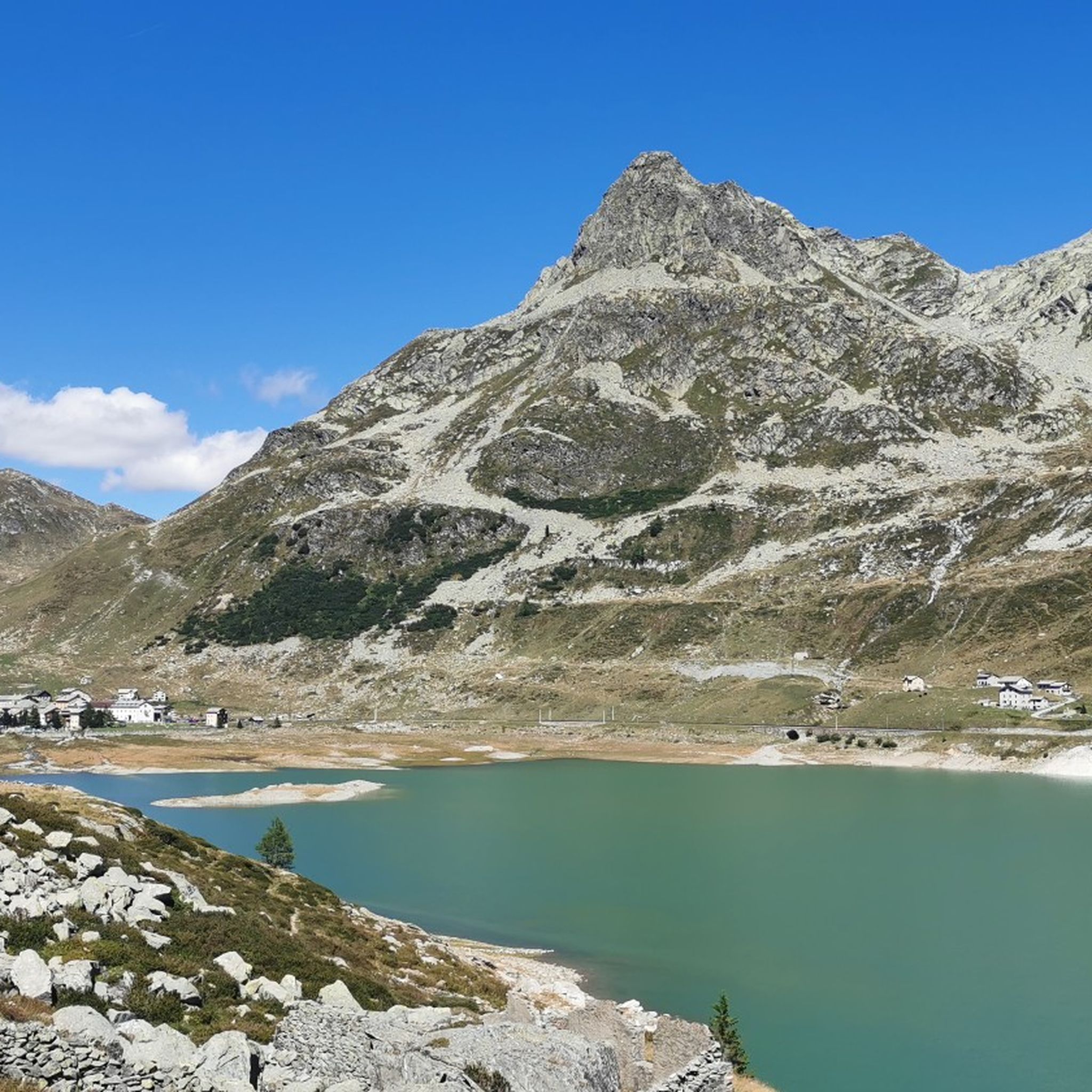
마데시모 하이킹
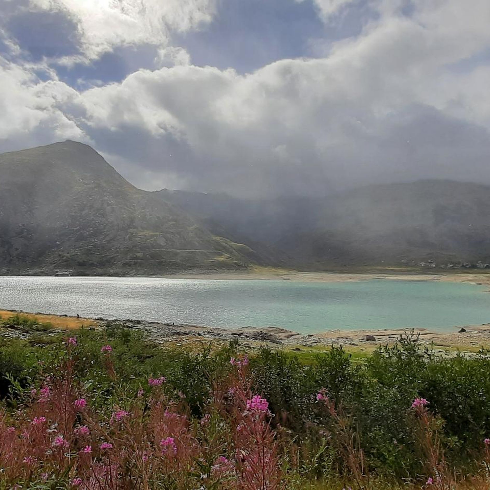
마데시모 사이클링
마데시모 MTB 트레일
마데시모 러닝 트레일


커뮤니티 팁


The ride through the famous Via Mala Gorge is a true highlight for road cyclists. The narrow, winding road winds spectacularly between steep rock faces, combining a challenging ride with impressive scenery. The asphalt is well-ridable, but you should expect tight bends, changing light, and heavy traffic—so it's best to ride in the early morning or late afternoon. A quick stop at the viewpoints is worthwhile to experience the magnificent views down into the gorge.
1
0

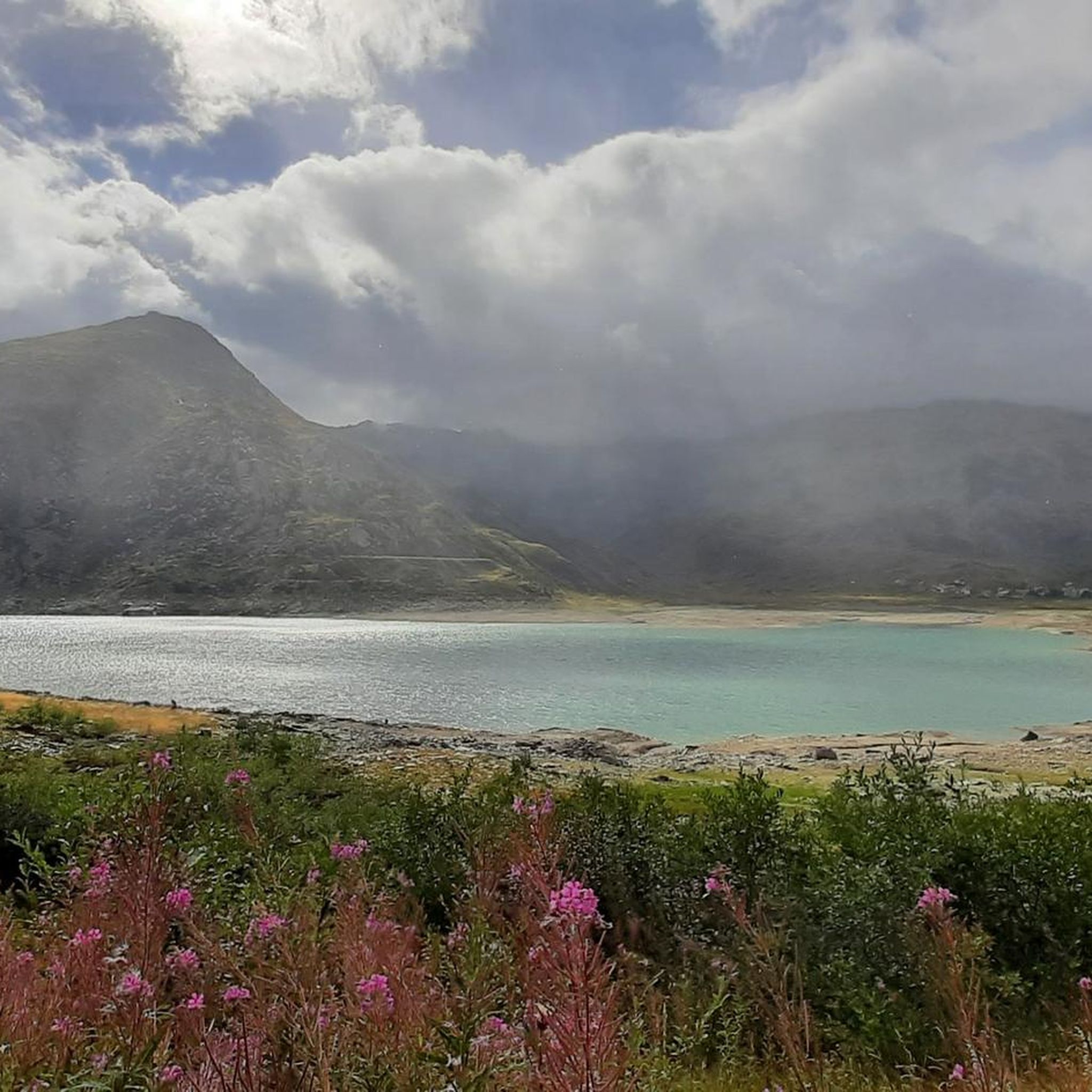
Madesimo is a renowned ski resort located in the upper Valchiavenna valley, in the province of Sondrio, just a few kilometers from the Swiss border. Nestled in the Rhaetian Alps at approximately 1,550 meters above sea level, it is one of Lombardy's most popular mountain destinations. During the winter, Madesimo transforms into a snow sports paradise, with over 40 kilometers of slopes extending up to Pizzo Groppera, at an altitude of 3,000 meters. The ski area offers trails suitable for both beginners and experienced skiers. In summer, the resort reveals its greenest and wildest side, becoming an ideal starting point for hiking and biking along Alpine trails. Visitors can explore the picturesque Lake Montespluga or try their hand at the area's trails. The quaint village still retains the authentic atmosphere of a small mountain village, with its typical stone and wood houses. Madesimo thus represents a perfect destination for those seeking genuine contact with Alpine nature, far from the mass tourism of the large ski resorts.
0
0
This small Alpine valley encompasses four hamlets in the municipality of Campodolcino: Starleggia, Cà De Luc, Splughetta, and San Sisto, surrounded by 11 mountain pastures, nestled in a splendid landscape stretching between 1,200 and 3,013 meters above sea level. Today, the hamlets are only partially used during the summer months, despite having been permanently inhabited until 1985. They are characterized by numerous small stone and/or wooden buildings (carden), all covered with typical stone slabs (piote). There are also some very interesting ancient buildings, such as the bell tower (built on a Roman-era structure), the rectory (12th century), and the Church of San Sisto (16th century).
0
0

Since, as is often the case, the pass signs are completely covered with stickers, taking photos in front of them is no longer fun. Alternatively, you can use the boundary stone to take a "proof photo." On the other side of the road, there's another, smaller stone with the elevation: 2113 m.
0
0
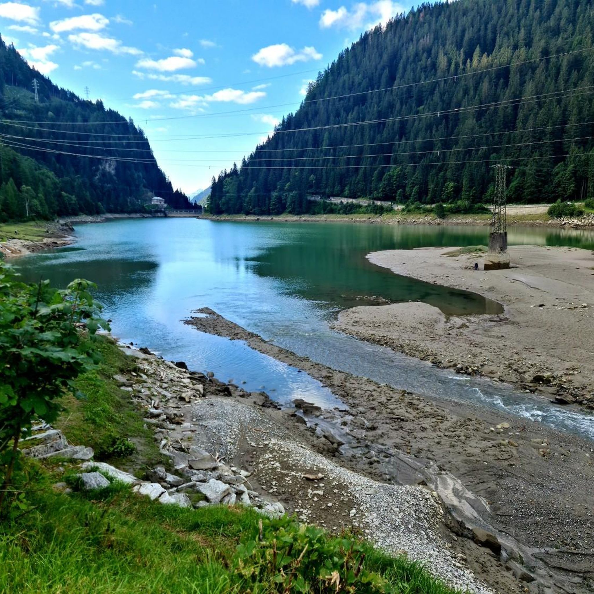
The bike path mostly runs close to the lakeshore. On hot days, be sure to stop and stretch your feet!
0
0


더 살펴보기
다른 지역의 최고의 로드 사이클링 경로를 살펴보세요.
