마조 디 발텔리나 최고의 라이딩 경로
4.5
(387)
13,323
자전거 타는 사람
82
라이딩
로드 사이클링은 롬바르디아 알프스의 다양한 지형을 제공하며, 극적인 알프스 계곡과 산들이 특징입니다. 이 지역은 험준한 모르티롤로 고개를 포함한 상당한 고도 변화와 아다 강을 따라 이어지는 완만한 코스를 특징으로 합니다. 계단식 포도밭은 독특한 풍경 요소이며, 다양한 사이클링 경험에 기여합니다. 이 계곡은 북쪽으로는 레티아 알프스, 남쪽으로는 오로비아 프리알프스가 펼쳐져 알프스의 배경을 제공합니다.
마초 디 발텔리나 주변 최고의 로드 사이클링 코스
- 가장 인기 있는 로드 사이클링 코스는 모르티롤로 및 아프리카 고개 루프로, 42.6마일(68.5km) 길이이며 완료하는 데 4시간 26분이 소요됩니다. 이 험난한 코스는…
마지막 업데이트: 8월 31, 2026
4.2
(13)
474
자전거 타는 사람
68.5km
04:27
2,020m
2,020m
어려운 도로 자전거 타기. 우수한 체력 필요. 지면 대부분이 잘 포장되어 있고 라이딩하기 쉬움.
5.0
(2)
101
자전거 타는 사람
21.2km
01:33
810m
810m
보통 도로 자전거 타기. 좋은 체력 필요. 지면 대부분이 잘 포장되어 있고 라이딩하기 쉬움.

무료 회원 가입
40
자전거 타는 사람
48.4km
03:56
2,150m
2,150m
어려운 도로 자전거 타기. 우수한 체력 필요. 지면 대부분이 잘 포장되어 있고 라이딩하기 쉬움.
4.9
(9)
39
자전거 타는 사람
17.8km
00:47
150m
150m
보통 도로 자전거 타기. 모든 체력 수준에 적합. 투어 중 라이딩하기 어려운 비포장 구간이 있을 수 있음.
5.0
(6)
70
자전거 타는 사람
35.6km
01:48
470m
470m
보통 도로 자전거 타기. 좋은 체력 필요. 지면 대부분이 잘 포장되어 있고 라이딩하기 쉬움.
더 다양한 경로와 다른 탐험가들의 추천을 살펴보세요.
무료 회원 가입
이미 komoot 계정이 있나요?
투어 추천은 다른 사람들이 komoot에서 완료한 수천 개의 활동을 바탕으로 구성되어 있습니다.


커뮤니티 팁


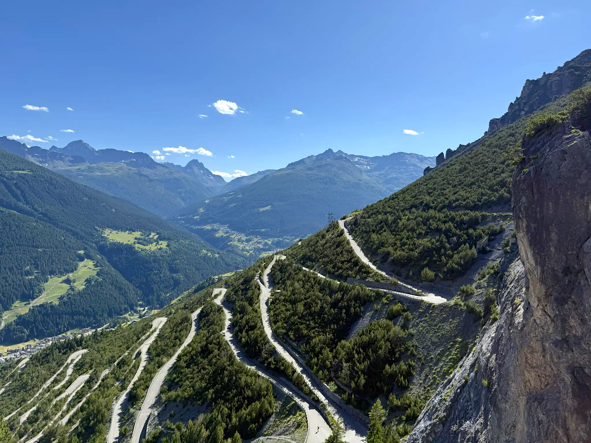
The Mortirolo is a legendary climb of the Giro d'Italia. The most famous is the climb from Mazzo di Valtellina – twisty, steep, and long, with an average gradient of around 10–11%, reaching 18–19% in some sections. Many cyclists consider it one of the most challenging climbs in the Alps, alongside the Stelvio and Gavia. The Mortirolo Pass is where such luminaries as Marco Pantani have won or lost stages of the Giro.
1
0
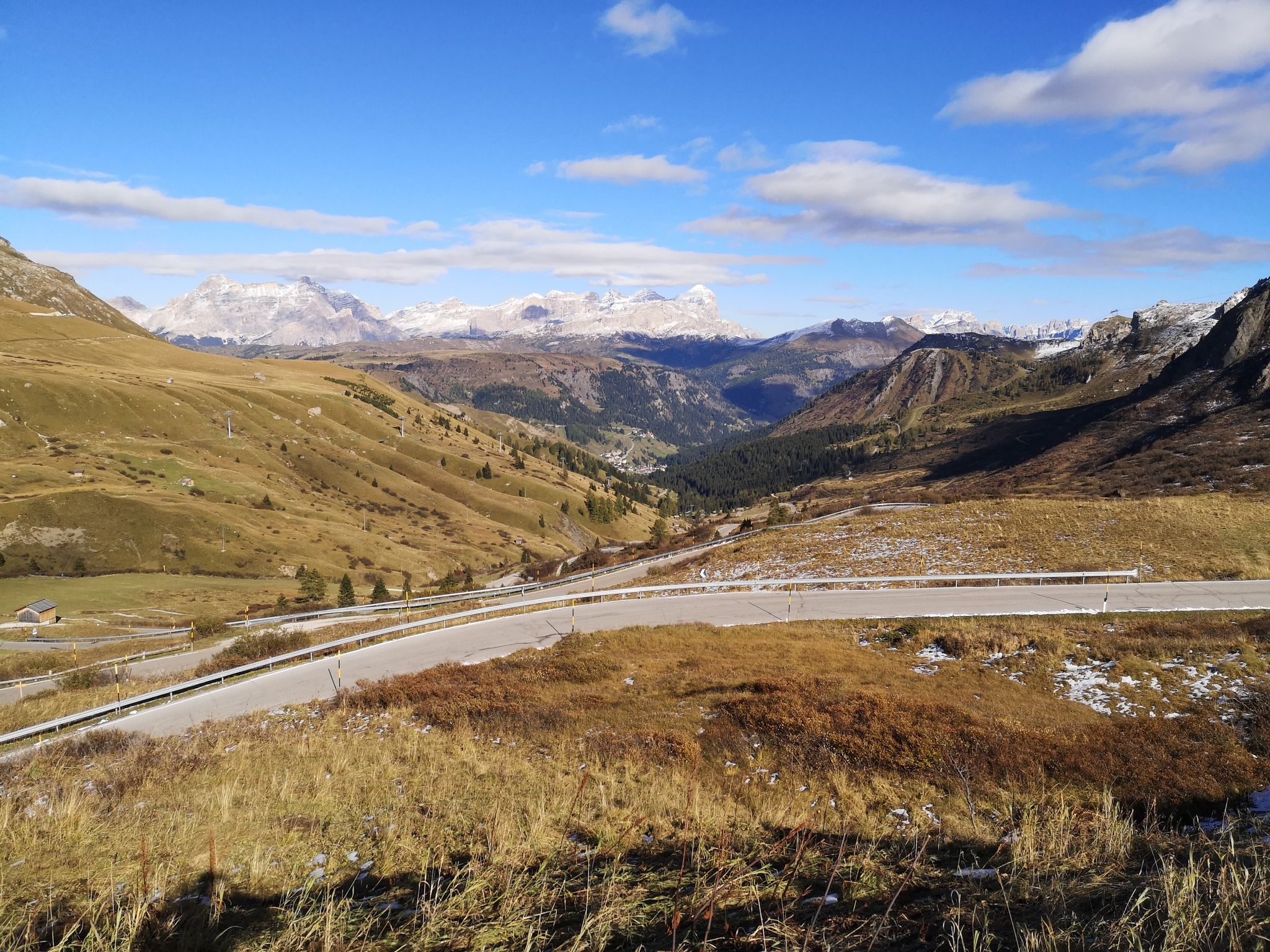
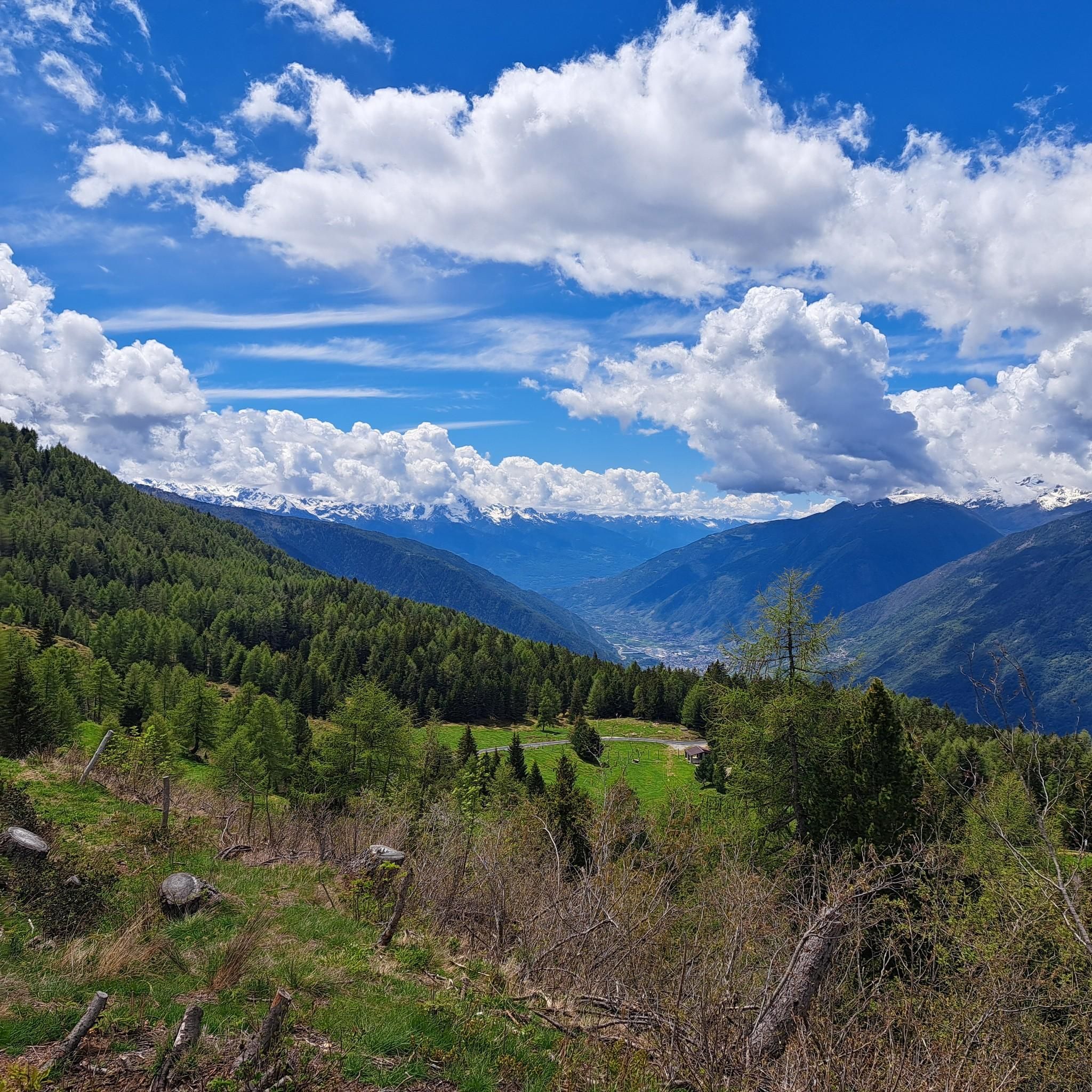
The pass is located at an altitude of 1,852 meters above sea level. It connects the Valtellina Valley (Bormio) with the Camonica Valley (Monno). The pass lies in the heart of the Retiche Mountains, in an area full of mountain lakes and steep Alpine landscapes.
1
0
Passo del Mortirolo (also known as Passo della Foppa) is one of the most demanding Alpine passes in Italy, especially famous in the world of cycling.
1
0
The rifugio is run by the local Antonioli family, who have been active in this part of the Camonica Valley for generations and still produce traditional products – cheeses, meats, and simple dishes – that are served to guests. In summer, the rifugio offers accommodations in multi-person rooms and home-cooked meals, while in winter it is open on selected weekends.
1
0
Rifugio Antonioli is located in the Mortirolo Pass region in Lombardy, at an altitude of approximately 1,750 meters above sea level, near the mountain lake Mortirolo. Formerly a malga, or shepherd's hut, used for grazing and cheesemaking in the summer. In 2010, the building was renovated and converted into a mountain hut, preserving the simple, stone and wood character typical of Alpine pastures.
1
0

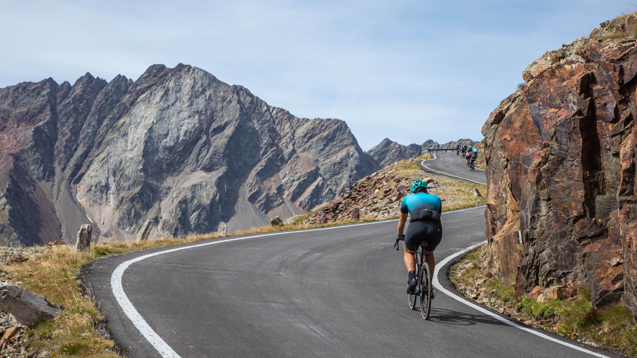
Departure and arrival in Mazzo di Valtellina. Immediately, the Mortirolo Pass with its gradients of over 14%. Challenging and mostly forested. The road is excellent, with new asphalt for almost the entire route. A descent and a gentle incline lead to Ponte di Legno, the starting point for the Gavia climb. The gradients aren't extreme, except for a few sections, such as the dark tunnel at 13%. Excellent views during the ascent. Then it's all downhill to Bormio, where I recommend a coffee break, and then down to Mazzo on a negative road to recover from the hard work. The route requires adequate training.
0
0
마조 디 발텔리나 주변에서 가장 인기 있는 명소


더 살펴보기
다른 지역의 최고의 로드 사이클링 경로를 살펴보세요.
