마데시모 최고의 워킹 & 하이킹 경로
4.4
(1098)
6,126
등산객
141
하이킹
정확한 경로를 찾는 것이 때로는 어렵지만 마데시모에서 하이킹을 하면 다양한 경치를 마음껏 감상할 수 있답니다. 마데시모에서 가장 멋진 하이킹과 워킹 중에서 마음에 드는 활동을 시작해보세요.
마지막 업데이트: 9월 13, 2026
4.5
(57)
188
등산객
7.09km
03:37
530m
530m
어려운 하이킹. 좋은 체력 필요. 튼튼한 신발을 신고 미끄러지지 않게 조심해야 하며, 높은 산을 오른 경험이 있어야 함.
4.5
(61)
189
등산객
7.06km
03:35
530m
520m
어려운 하이킹. 좋은 체력 필요. 튼튼한 신발을 신고 미끄러지지 않게 조심해야 하며, 높은 산을 오른 경험이 있어야 함.

4.7
(53)
292
등산객
11.5km
03:46
340m
340m
보통 하이킹. 좋은 체력 필요. 대부분 갈 수 있는 길. 미끄러지지 않게 조심해야 함.
4.3
(18)
90
등산객
5.37km
02:52
490m
490m
보통 하이킹. 좋은 체력 필요. 대부분 갈 수 있는 길. 미끄러지지 않게 조심해야 함.
4.7
(23)
136
등산객
11.6km
05:24
730m
730m
어려운 하이킹. 우수한 체력 필요. 튼튼한 신발을 신고 미끄러지지 않게 조심해야 하며, 높은 산을 오른 경험이 있어야 함.
더 다양한 경로와 다른 탐험가들의 추천을 살펴보세요.
이미 komoot 계정이 있나요?
투어 추천은 다른 사람들이 komoot에서 완료한 수천 개의 활동을 바탕으로 구성되어 있습니다.
오늘 무료 계정으로 시작하세요
다음 모험이 기다리고 있어요.
마데시모 주변 인기 장소
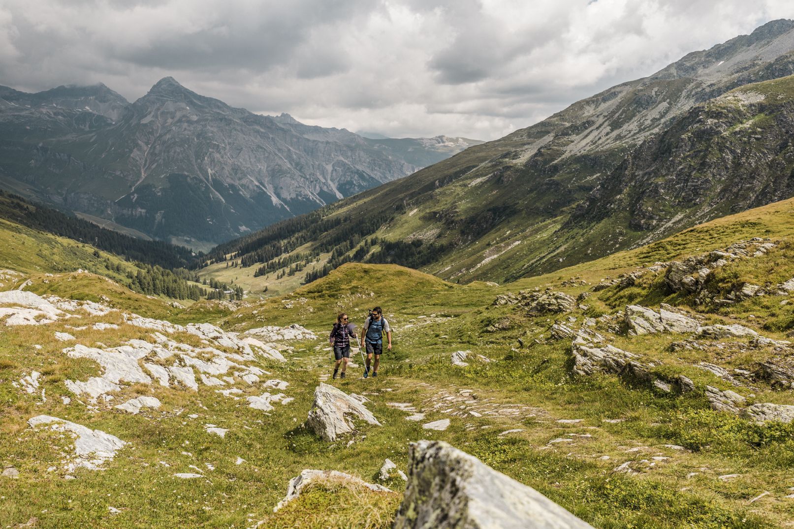
깊은 협곡, 폭포와 청록색 호수 사이 - Via Spluga
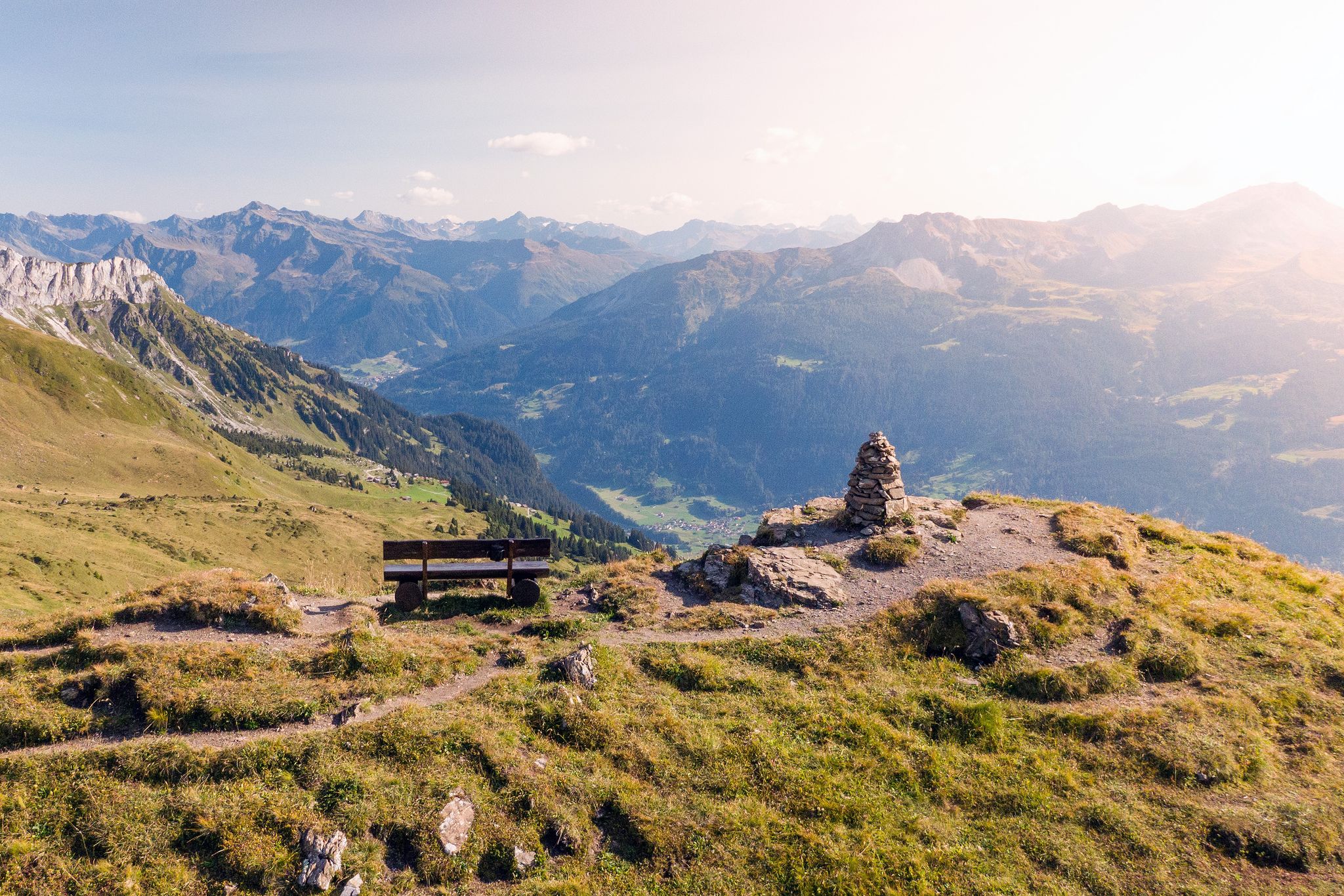
Long-distance hiking in the Grisons — 3 routes in Switzerland
On the viaSpluga from Thusis to Chiavenna
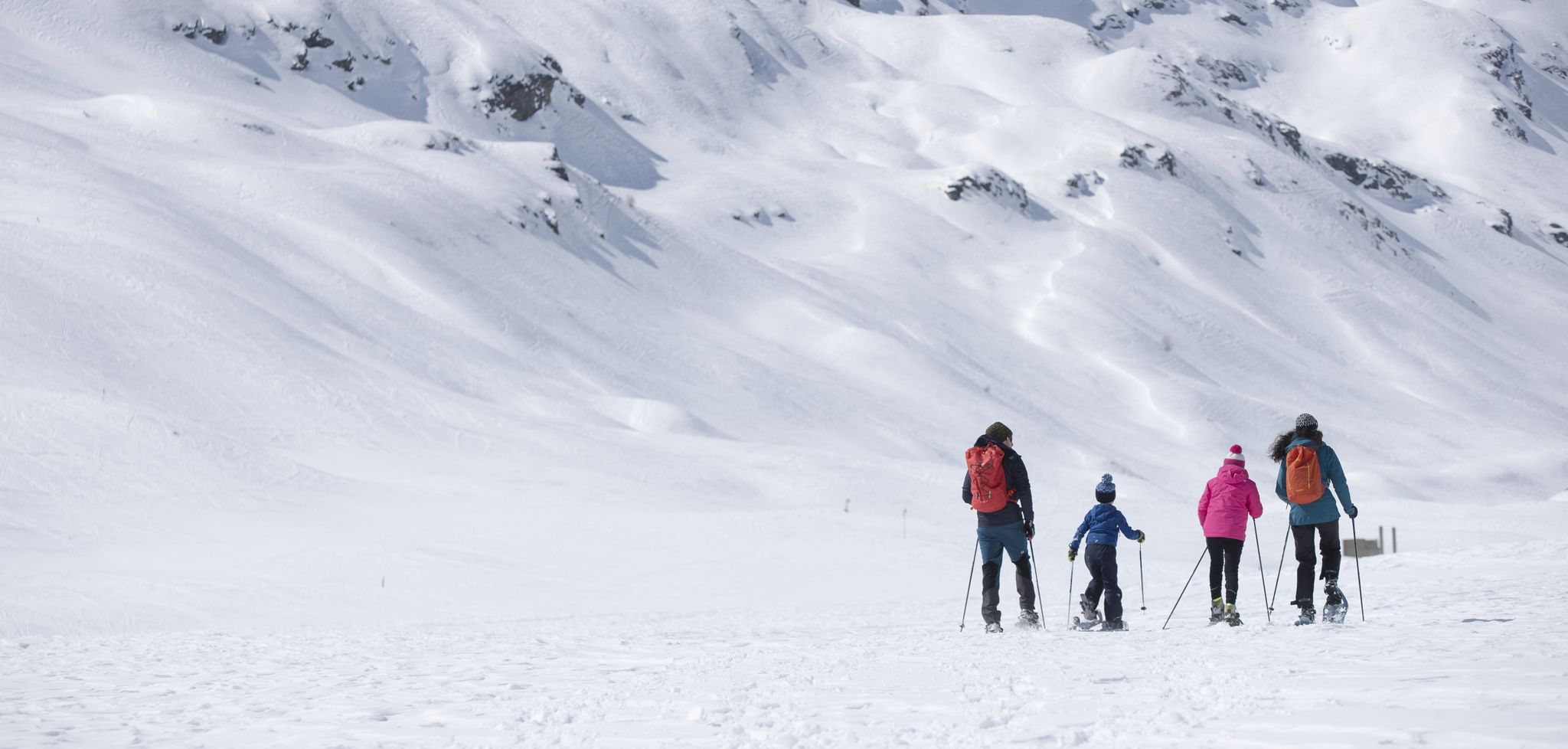
Inverno in Valtellina, a passo lento sulla neve
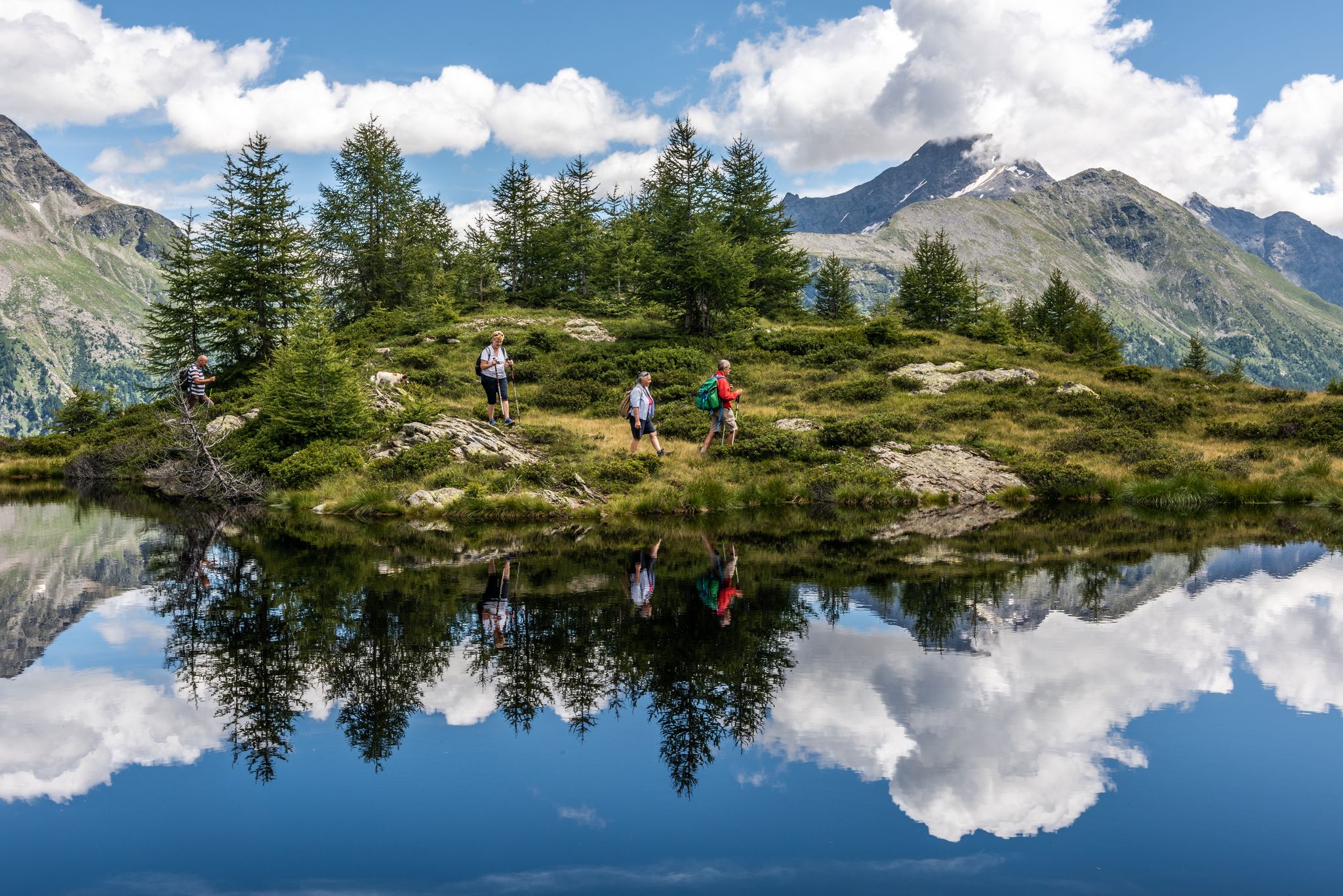
Oasi di tranquillità alpina – 5 laghi da non perdere in Valchiavenna
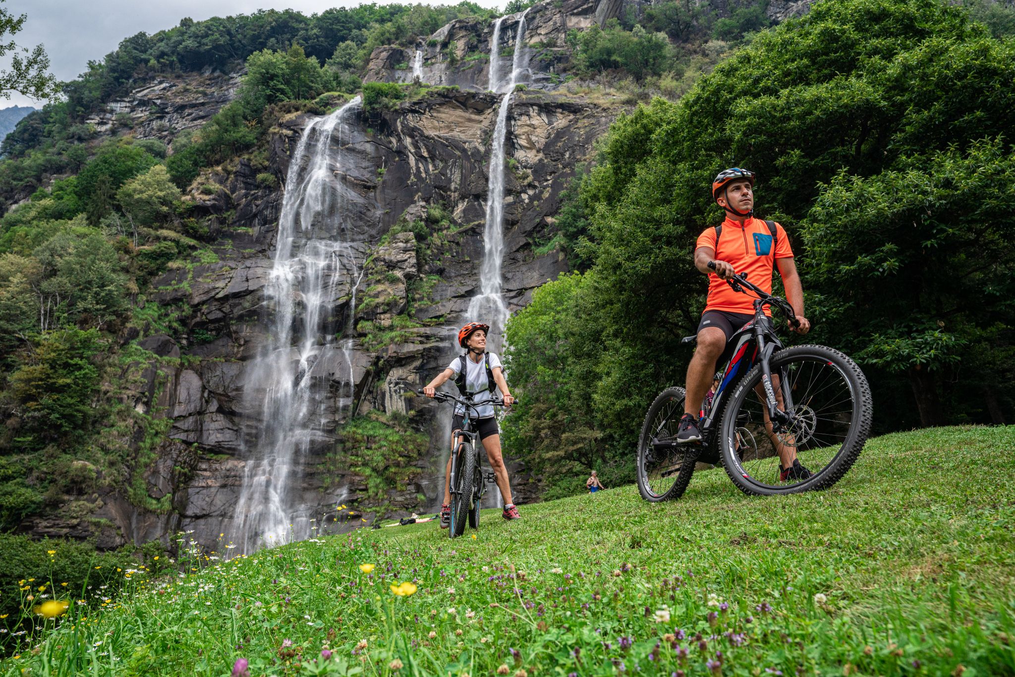
La Valchiavenna in MTB – itinerari da non perdere
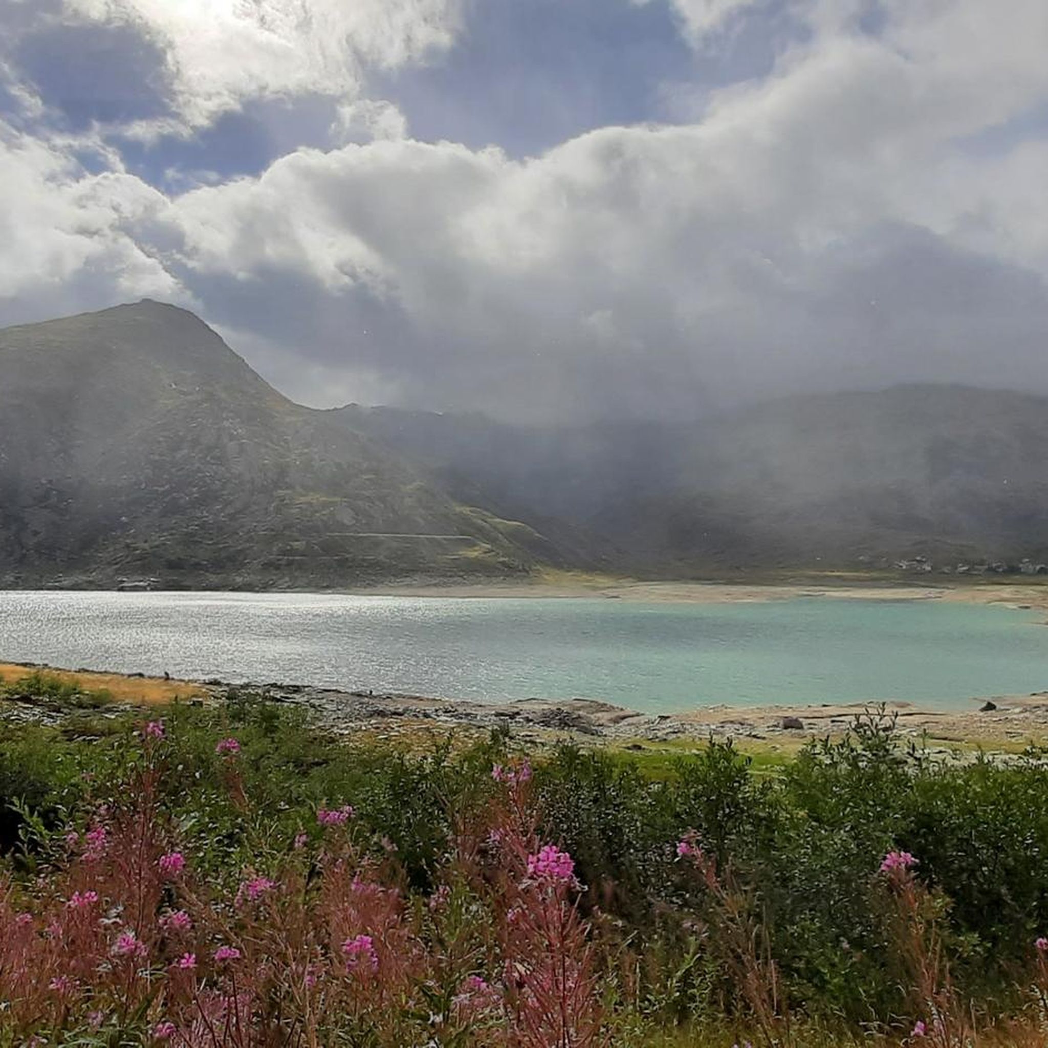
마데시모 사이클링
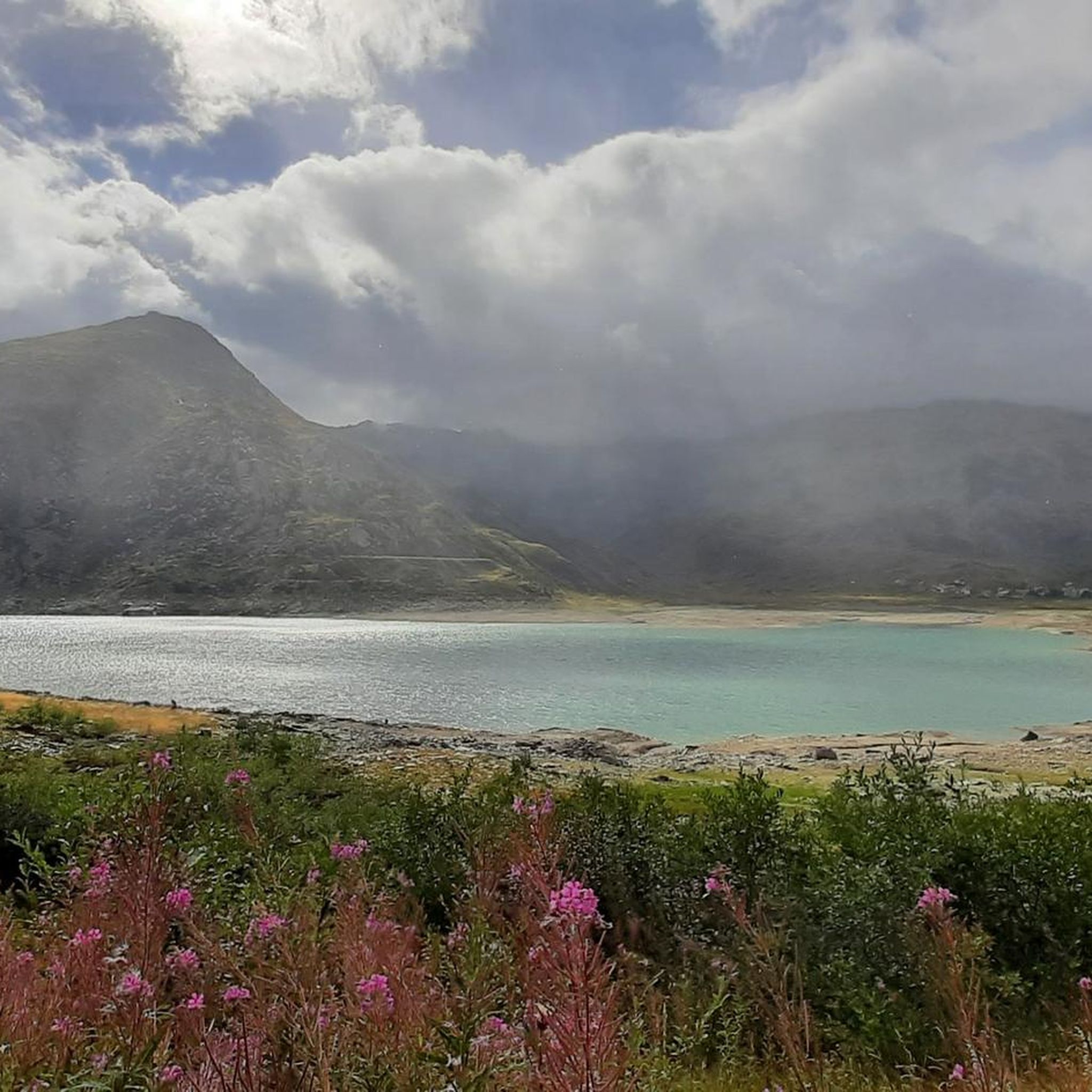
마데시모 MTB 트레일
마데시모 로드 사이클링 경로
마데시모 러닝 트레일


커뮤니티 팁

꾸준하지만 아이들과 함께라도 가능한 오르막길 끝에 우리의 목적지가 있습니다: "유럽의 성모"
0
0

꼭 가봐야 할 곳입니다. 음식은 현지 음식이고 믿을 수 없을 정도로 맛있으며, 직원들은 친절하고 산을 좋아하며, 에멧 호수와 모든 봉우리(스파돌라초, 탐보', 피초 콰드로, 그리고 다른 봉우리들)의 전망은 숨 막힐 듯 아름답습니다.
0
0

Been there today. It doesn’t get much better than this!!!
0
1

Sometimes there is also good food here, if there is no private event going on
1
0

Montespluga SO Montespluga 산악 마을은 해발 1908m에 위치하며, 발 산 자코모(Val San Giacomo, 발레 스플루가(Valle Spluga)라고도 함) 계곡의 시작 부분에 있으며 스플루겐 고개(Splügen Pass) 정상에서 약 3km 떨어져 있습니다. 이 마을은 물과 목초지가 풍부한 분지에 생겨났으며, 발레 스플루가와 발 로가(Val Loga)가 만나는 곳으로, 피초 탐보(Pizzo Tambo)와 같은 지역의 국경 봉우리 근처에 있습니다. 1927년에는 Montespluga에서 남쪽으로 약 2km 떨어진 곳에 댐이 건설되어 토렌테 리로(Torrente Liro) 강을 막아 마을 아래에 라고 디 몬테스플루가(Lago di Montespluga) 호수를 만들었습니다. 고개 도로에 있는 몇 안 되는 집, 레스토랑, 호텔, 상점과 오래된 세관 건물 "La Casa"가 있는 이 마을은 거의 변하지 않았습니다. 1841년까지 이곳은 스플루겐 고개에 있는 유일한 휴게소이자 유일한 예배 장소인 산 프란체스코 다시시(San Francesco d’Assisi) 예배당이 있었습니다. 후자는 1822년 스플루겐 고개로 가는 새 도로가 완공된 후인 1832년에 축성되었습니다. 이미 1767년에 스위스의 교황 대사였던 루이지 발렌티 곤자가(Luigi Valenti Gonzaga) 추기경이 휴게소에 작은 예배당을 설립할 수 있도록 허가를 부여했습니다. 산 베르나르디노 터널(San Bernardino Tunnel)이 개통된 이후로 겨울에는 고개가 더 이상 개방되지 않습니다. 세 개의 거리(Via Dogana, Via Ferrè, Via Val Loga)로 구성된 이 마을은 이탈리아와 스위스 모두에서 고립될 수 있습니다. Montespluga는 주변 산의 수많은 하이킹, 등산 및 스키 투어 목적지로 가는 출발점이며, 국경을 넘는 장거리 하이킹 코스인 비아 스플루가(Via Spluga)의 경유지입니다. 텍스트 / 출처: wikipedia.org https://de.wikipedia.org/wiki/Montespluga
11
0
Splügen Pass / Passo dello Spluga The Splügen Pass has been proven to have been used since prehistoric times. There are also references to this in Roman times, e.g. the Itinerarium Antonini, a Roman road map from around 300 AD. The very close connections between the bishoprics of Chur and Como ran over the Splügen Pass. As early as 1396, there was evidence of significant customs revenues at Splügen. The expansion of the Viamala Gorge promoted its boom. The movement of goods was carried almost exclusively by packhorses, which meant frequent reloading. Transit traffic formed an important part of the flourishing economy. As late as 1798, the Austrian Field Marshal von Bellegarde wrote: "The largest train of goods from Milan to Germany goes over this pass, but mostly on horses and mules." Between 1818 and 1823, the first road that was passable for freight wagons and stagecoaches was built at the same time as the San Bernardino, and to a large extent it still follows the same route as it was then. After that, freight volumes and international passenger traffic over the Splügen increased several times over and reached their peak in the mid-1850s. The opening of the Alpine railways (1867 Brenner, 1872 Mont Cenis) had already reduced transit traffic over the Splügen. The opening of the Gotthard Railway in 1882 brought Graubünden transit traffic to a virtual standstill. A large wave of emigration was a direct result. The decades-long efforts to build a Splügen railway ultimately failed. The construction of the national road with a car tunnel at the San Bernardino opened up new perspectives. The Splügen Pass has been closed in winter since World War II. Text / Source: Interest Group for Alpine Passes IAP, PO Box 11, 6491 Realp https://www.alpen-paesse.ch/de/alpenpaesse/spluegenpass/
11
0
Splügen Pass (Alpine crossing (2113 m) Alpine crossing (2113 m) on the border between the Rheinwald in the Hinterrhein valley and the Italian Val San Giacomo (St. Jakobstal). The village of Splügen at the northern starting point, mentioned around 840 as cella in speluca, gave the pass its name. Italian Passo dello Spluga, Romanesque Pass dal Spleia. In the Middle Ages, the Splügen Pass was also known as Colmen d'Orso and Urschler. At the same time as the San Bernardino, the first road that was open to freight wagons and carriages was built between 1818 and 1823. After the Simplon and before the Gotthard, the Lower Road was thus the second Swiss "artificial road" across the Alps. For the route from Chur over the San Bernardino to Bellinzona, the Kingdom of Sardinia-Piedmont was responsible for a large part of the costs, in addition to the canton of Graubünden. The The Lombardo-Venetian Kingdom saw this as a threat to the volume of traffic over the Splügen Pass and in return had a road built at its own expense across the national border to the village of Splügen. This road essentially corresponded to the route still used at the beginning of the 21st century. On the north side, according to the plans of engineer Carlo Donegani, the road no longer led through the avalanche slope of the Altberg. On the south side, an almost completely new route was chosen below Monte Spluga to Campodolcino, bypassing the Cardinell Gorge. Many galleries and refuge houses were built at regular intervals, especially on the south side. After the devastating flood damage of 1834, the road was rebuilt in some places. In 1841, the first mountain house with the customs station was built on the north side (2022 m). Text / Source: Historical Dictionary of Switzerland (HLS) https://hls-dhs-dss.ch/de/articles/008823/2013-01-10/
14
0


더 살펴보기
다른 지역의 최고의 하이킹를 살펴보세요.
