포자 최고의 러닝 경로
4.3
(114)
4,348
달리기 하는 사람
213
러닝
포차 주변의 조깅 코스는 이탈리아의 세테 무니 고원 동쪽 지역에서 다양한 경험을 제공합니다. 이 지역은 낙엽송과 가문비나무의 울창한 숲으로 특징지어지며, 달리기에 상쾌한 환경을 제공합니다. 트레일에는 제1차 세계 대전 유적지와 고대 경로 등 역사적인 요소가 포함되어 있어 자연의 아름다움과 문화적 중요성을 결합합니다. 지형은 도전적인 오르막부터 완만한 길까지 다양하여 다양한 체력 수준에 맞습니다.
포차 주변 최고의 조깅 코스
- 가장 인기 있는 조깅 코스는 발브렌타의 캄포 솔라냐 산장 – 콜 델 페닐론 전망 루프로, 13.6마일(21.9km) 길이이며 완료하는 데 2시간 36분이 걸립니다. 이…
마지막 업데이트: 10월 8, 2026
5.0
(1)
51
달리기 하는 사람
18.4km
02:17
620m
620m
어려운 조깅. 우수한 체력 필요. 대부분 포장된 지면. 실력과 관계없이 누구나 갈 수 있음.
5.0
(3)
36
달리기 하는 사람
12.2km
01:18
140m
140m
보통 조깅. 좋은 체력 필요. 대부분 포장된 지면. 실력과 관계없이 누구나 갈 수 있음.

5.0
(1)
32
달리기 하는 사람
7.63km
00:52
90m
90m
보통 조깅. 좋은 체력 필요. 대부분 포장된 지면. 실력과 관계없이 누구나 갈 수 있음.
25
달리기 하는 사람
15.6km
02:44
1,130m
1,130m
어려운 조깅. 우수한 체력 필요. 튼튼한 신발을 신고 미끄러지지 않게 조심해야 하며, 높은 산을 오른 경험이 있어야 함.
5.0
(2)
25
달리기 하는 사람
11.3km
01:30
380m
380m
어려운 조깅. 우수한 체력 필요. 튼튼한 신발을 신고 미끄러지지 않게 조심해야 하며, 높은 산을 오른 경험이 있어야 함.
더 다양한 경로와 다른 탐험가들의 추천을 살펴보세요.
이미 komoot 계정이 있나요?
투어 추천은 다른 사람들이 komoot에서 완료한 수천 개의 활동을 바탕으로 구성되어 있습니다.
오늘 무료 계정으로 시작하세요
다음 모험이 기다리고 있어요.

커뮤니티 팁

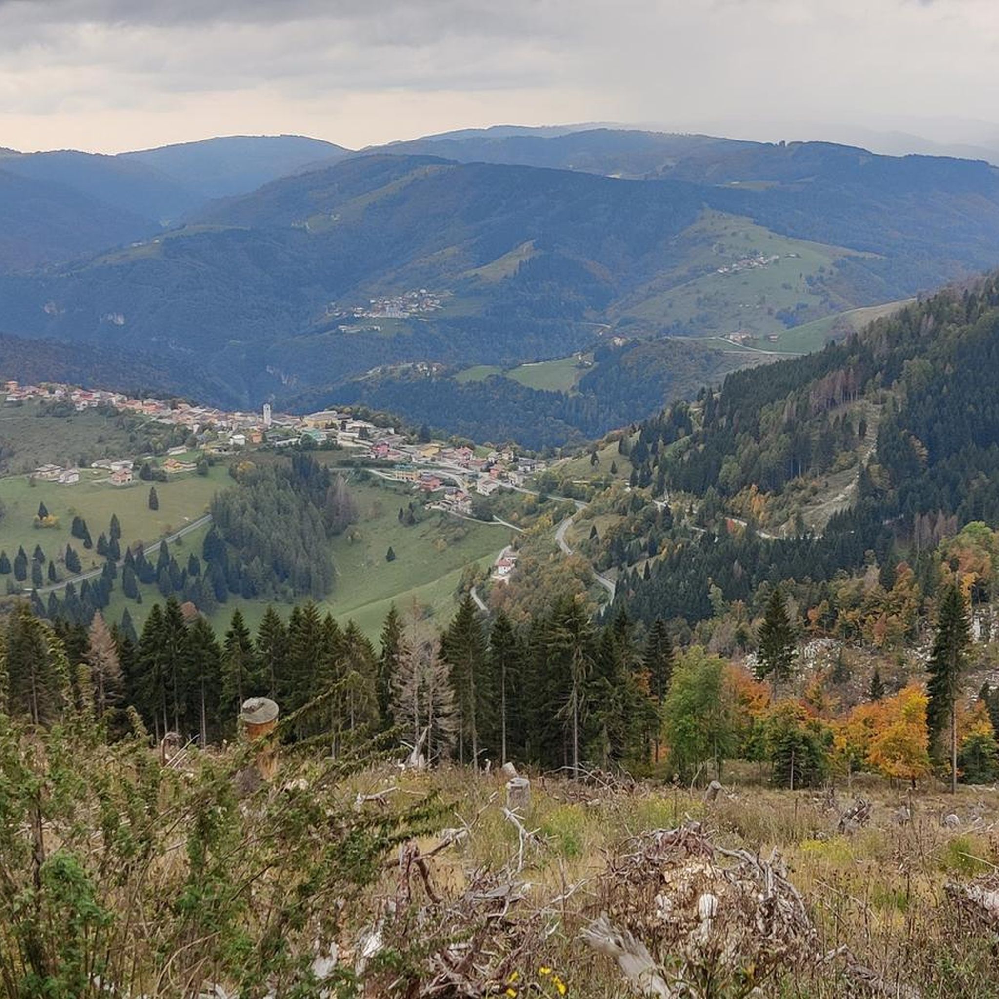
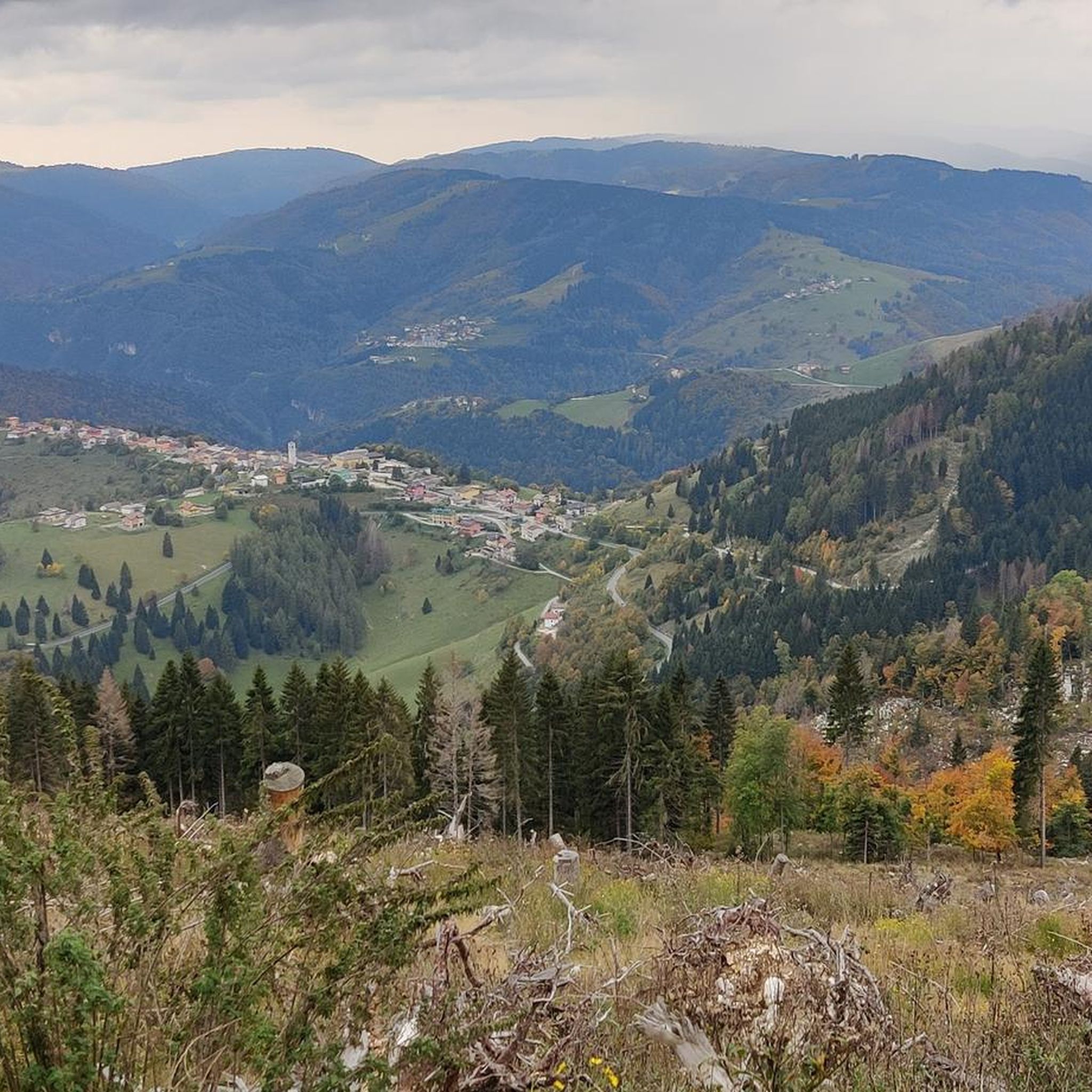
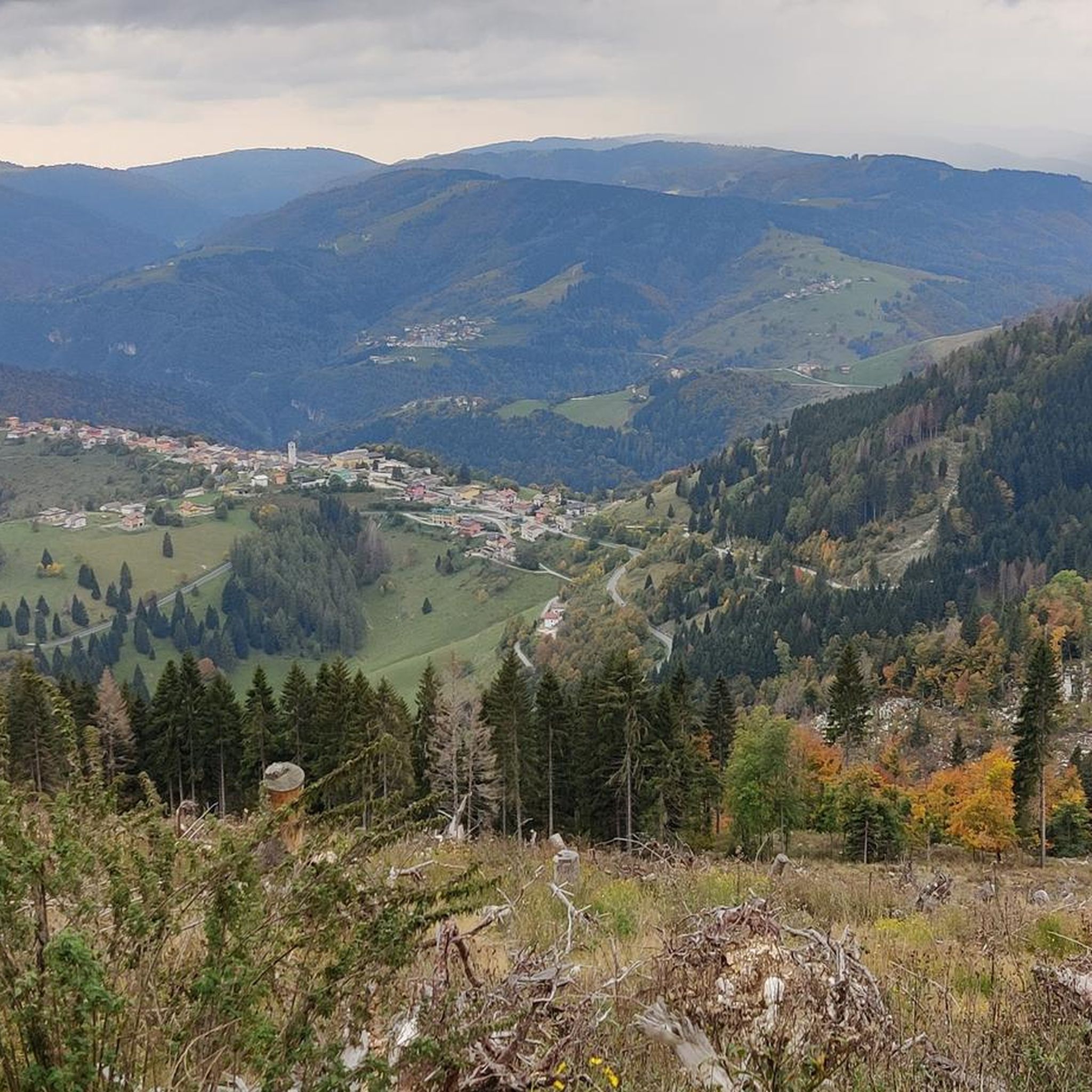
La Grottona는 해발 900m에 위치한 자연적인 파노라마 발코니로, 바사 발수 가나(또는 좁은 마지막 부분을 부르는 이름인 브렌타 운하)의 장관을 볼 수 있습니다. 이곳은 론다 디 발스타냐에서 아시아고 고원의 콜 디스티아고까지 이어지는 험준한 센티에로 델 부(Sentiero del Vu)를 따라가다가 만날 수 있습니다. 이 길은 제1차 세계 대전 당시 이탈리아의 방어선으로, 군사 시설이 즐비합니다. 이 바위 테라스 역시 보병들이 관측소와 포병 진지로 사용했으며, 아직도 걸어갈 수 있는 참호가 남아 있습니다.
1
0
이 거대한 시멘트 탱크는 올리에로 동굴의 수원지에서 물을 끌어올려 1000m 이상의 고도차를 극복하는 송수관을 통해 아시아고 고원으로 공급합니다. 이곳은 카르스트 지형이라 물이 지하 통로를 통해 아래로 흘러내려 저장되지 않습니다. 사실상 자연적으로 정상에서 내려오는 비와 눈의 물이 필요에 의해 인공적으로 다시 끌어올려지는 것입니다! 현재의 송수관과 저수지는 제1차 세계 대전 중에 이미 건설된 시설의 흔적 위에 지어졌습니다. 이 시설은 고지대에 주둔하는 병력의 기하급수적인 증가와 적대 세력 간의 소수의 수원지 확보 경쟁으로 인해 분쟁 중에 고원 지역의 기본적인 물 공급 문제를 해결하기 위해 건설되었습니다. 많은 사람들에게 끔찍한 구조물로 여겨지지만, 저는 이곳이 자연적이고 오염되지 않은 환경에 자리 잡은, 완전히 동떨어진 매혹적인 브루탈리즘 건축물이라고 생각합니다. 매혹적인 대조입니다!
0
0

발스타냐는 비첸차현의 역사적인 지역으로, 오늘날 발브렌타(Valbrenta) 시의 중심지이며, 숨 막힐 듯 아름다운 발수 가나(Valsugana)의 풍경 속에 자리 잡고 있습니다. 브렌타 강(Brenta) 우안을 따라 자리 잡고 있으며, 물과 칠레 코무니 고원(Altopiano dei Sette Comuni)의 장엄한 암벽 사이에 끼어 있습니다. 이 마을은 베네치아 공화국과 뗄 수 없는 역사를 가지고 있습니다. 수세기 동안 목재 뗏목 운송의 중요한 중심지였으며, 산에서 뗏목을 타고 베네치아 군수창고의 조선소로 향했습니다. 이 오래된 전통은 오늘날 매년 여름 유명한 팔리오 델레 자테레(Palio delle Zattere) 축제에서 되살아납니다. 발스타냐는 스포츠와 자연을 사랑하는 사람들에게 이상적인 목적지입니다. 브렌타 강에서의 카약과 래프팅의 국제적인 기준점이며, 유명한 올리에로 동굴(Grotte di Oliero) 자연 단지를 보유하고 있고, 아시아고(Asiago)까지 이어지는 4,444개의 계단으로 이루어진 역사적인 칼라 델 사소(Calà del Sasso) 계단의 출발점입니다.
0
0
발스타냐의 리알토 다리(Ponte Rialto di Valstagna)는 비첸차 현 발브렌타(Valbrenta) 시에 위치한 중요한 기반 시설입니다. 브렌타 강을 가로지르는 이 다리는 역사적으로 강 오른쪽 기슭의 발스타냐(Valstagna) 마을과 왼쪽 기슭의 카르파네(Carpanè) 지역 및 발수 గా나 주도 47호선(Statale 47 della Valsugana)을 연결하며, 지역 교통망과 브렌타 자전거 도로(Ciclovia del Brenta)의 사이클리스트들에게 중요한 연결 지점 역할을 합니다. 최근 이 구조물은 대대적인 복원 및 안전 강화 공사의 대상이 되었으며, 2025년 여름에 재개장되었습니다. 100만 유로 이상의 가치가 있는 이 공사를 통해 손상된 부분을 복구하고, 차도를 넓히며, 안전한 보행자 통로를 만들었습니다. 또한, 자테레 축제(Palio delle Zattere)와 같은 역사적인 행사 기간 동안 다채로운 색으로 다리를 비추는 극적인 LED 조명 시스템이 설치되었습니다.
0
0

A simply wonderful place, easy to reach from the Carpanè-Valstagna station, following a well-marked path along the Brenta River. The staff was equally fantastic, allowing us to follow the cave tour in both Italian and English (part of my group didn't speak Italian). I recommend going in spring; it's cooler and there's usually less traffic, so you can enjoy it all better. ;)
0
0

Hidden in the rocks, this natural formation waits just off the route. Park the bike, explore a bit on foot, and let your curiosity lead the way. Explore Freedom was a project by ROSE Bikes. A unique adventure that celebrates the joy of connecting with people through cycling, the spirit of discovering the unknown together, and the privilege of crossing borders in Europe with ease. While the project is over, the checkpoints remain for you to explore. https://www.komoot.com/de-de/collection/3918913/-explore-freedom
0
0

Very characteristic village north of Bassano in a very narrow part of the Valbrenta
1
0

Unfortunately it was closed
1
0


더 살펴보기
다른 지역의 최고의 러닝 트레일 & 경로를 살펴보세요.
