샬비 최고의 워킹 & 하이킹 경로
4.4
(196)
672
등산객
47
하이킹
정확한 경로를 찾는 것이 때로는 어렵지만 샬비에서 하이킹을 하면 다양한 경치를 마음껏 감상할 수 있답니다. 샬비에서 가장 멋진 하이킹과 워킹 중에서 마음에 드는 활동을 시작해보세요.
마지막 업데이트: 10월 10, 2026
4.6
(17)
48
등산객
9.44km
02:27
50m
50m
보통 하이킹. 좋은 체력 필요. 실력과 관계없이 누구나 쉽게 갈 수 있는 길.
4.7
(22)
57
등산객
5.65km
01:29
40m
40m
초급용 하이킹. 모든 체력 수준에 적합. 실력과 관계없이 누구나 쉽게 갈 수 있는 길.

4.8
(13)
42
등산객
4.97km
01:18
30m
30m
초급용 하이킹. 모든 체력 수준에 적합. 실력과 관계없이 누구나 쉽게 갈 수 있는 길.
4.8
(16)
47
등산객
7.60km
01:58
40m
40m
초급용 하이킹. 모든 체력 수준에 적합. 실력과 관계없이 누구나 쉽게 갈 수 있는 길.
4.8
(8)
20
등산객
21.8km
05:37
110m
110m
어려운 하이킹. 우수한 체력 필요. 실력과 관계없이 누구나 쉽게 갈 수 있는 길.
더 다양한 경로와 다른 탐험가들의 추천을 살펴보세요.
이미 komoot 계정이 있나요?
투어 추천은 다른 사람들이 komoot에서 완료한 수천 개의 활동을 바탕으로 구성되어 있습니다.
오늘 무료 계정으로 시작하세요
다음 모험이 기다리고 있어요.
샬비 주변 인기 장소
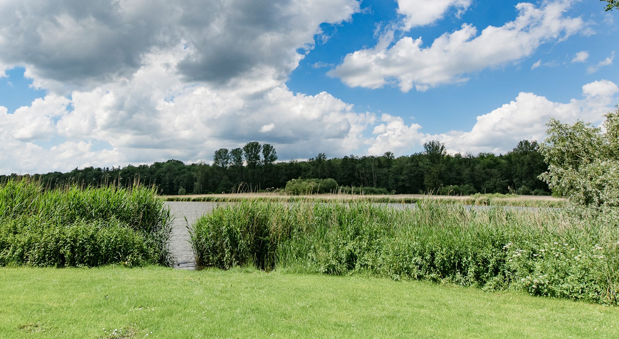
Following in the footsteps of the Vikings – hiking around Schleswig
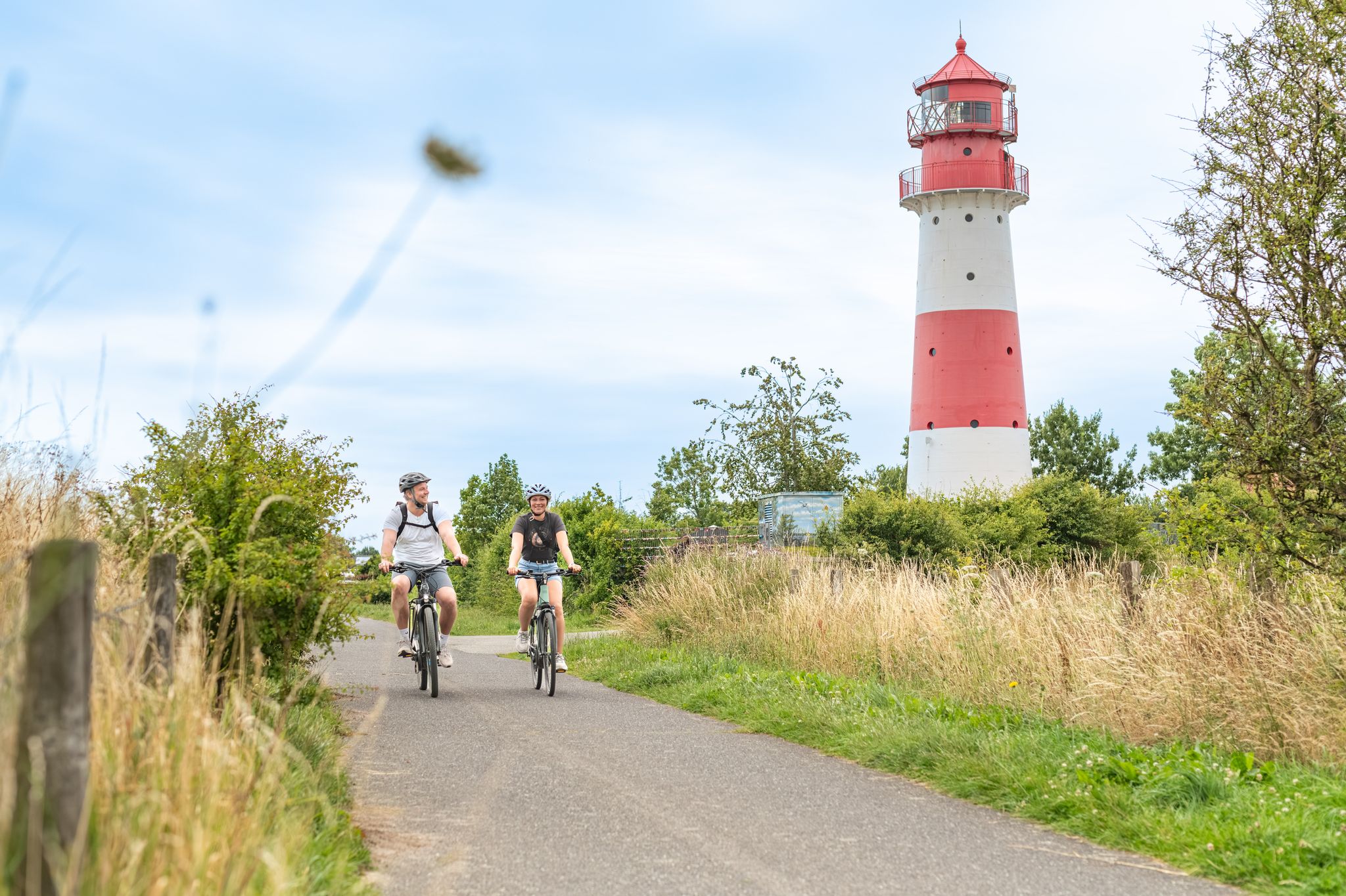
Between the coast and the interior: superb cycling on the Schlei
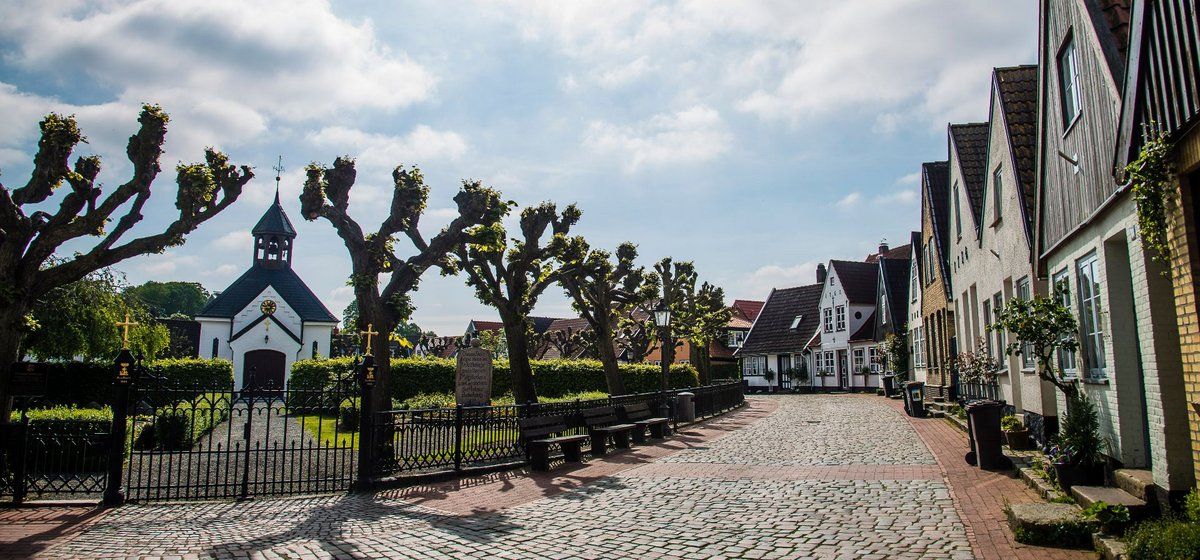
슬레스비히 소형 자전거 여행 지역
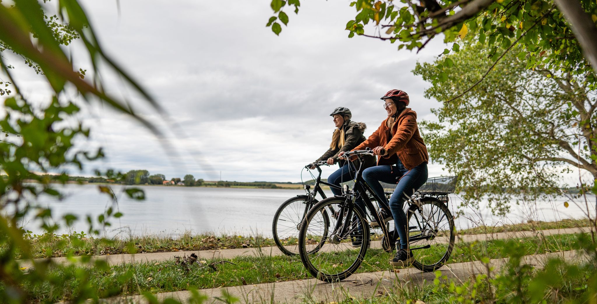
Cycling in Germany’s northern Binnenland – cycle paths through flat landscapes
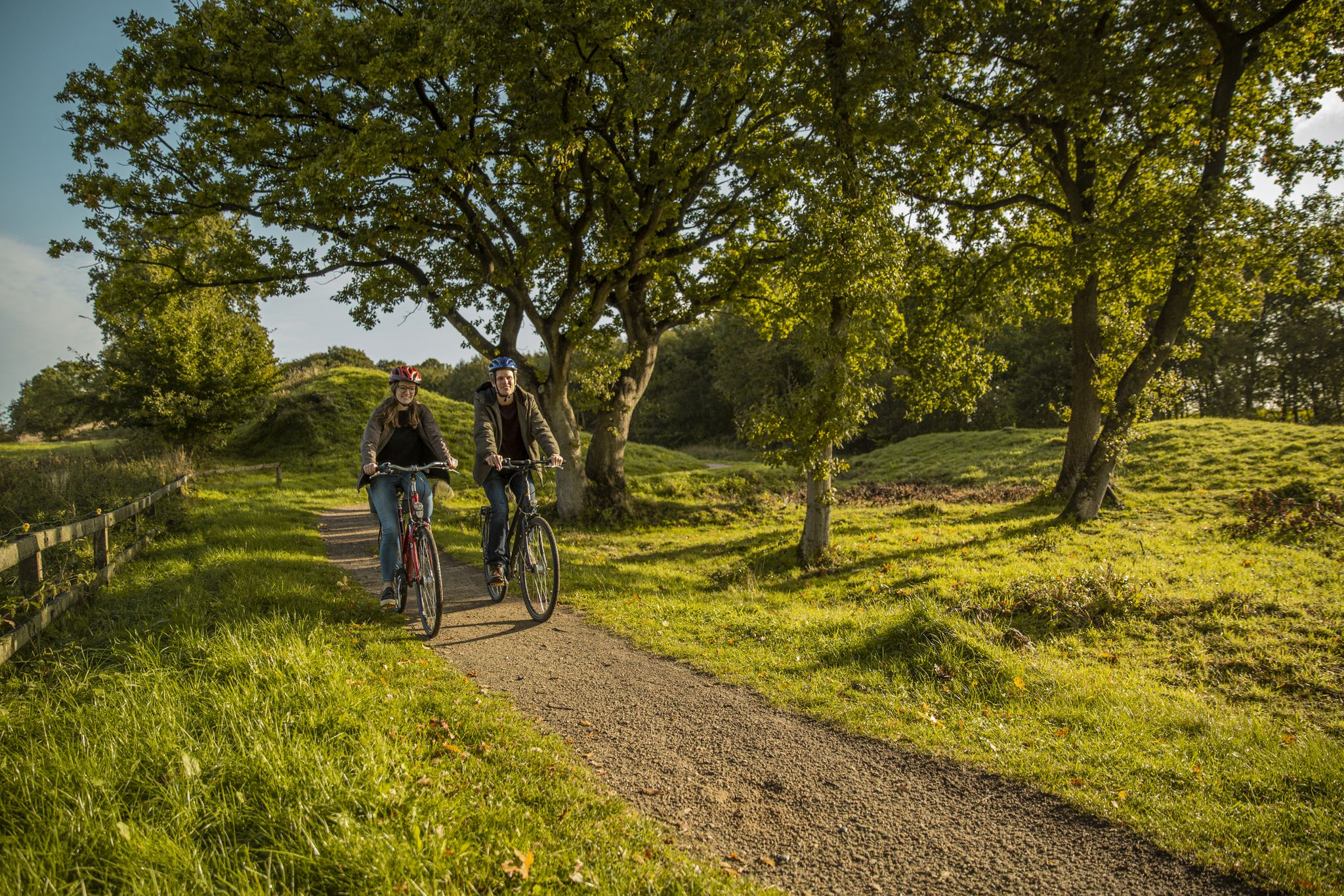
Culture, nature and Vikings – cycling on the Baltic Sea fjord Schlei
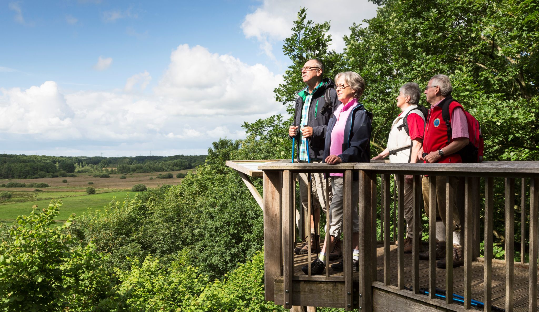
Wandern im Grünen Binnenland
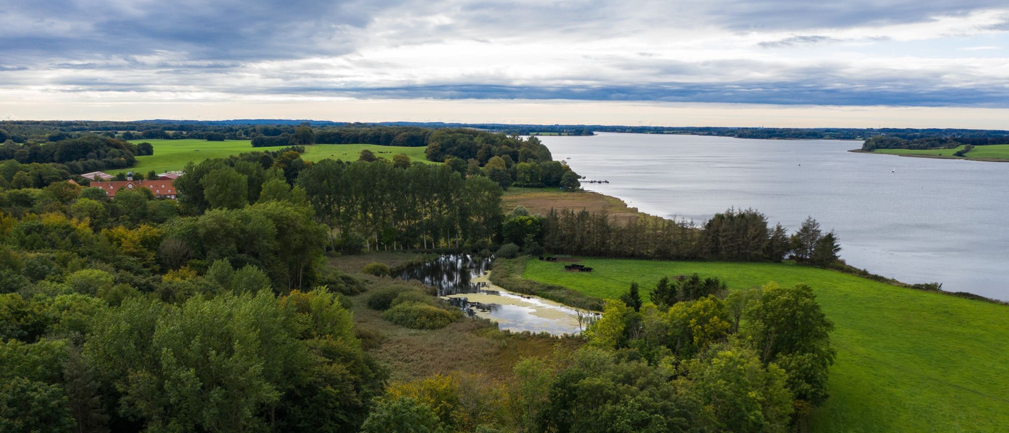
Wandern an der Schlei
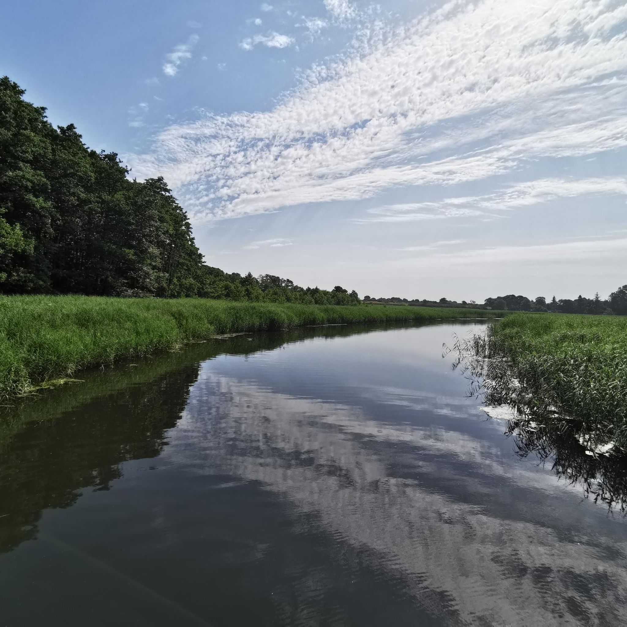
샬비 사이클링
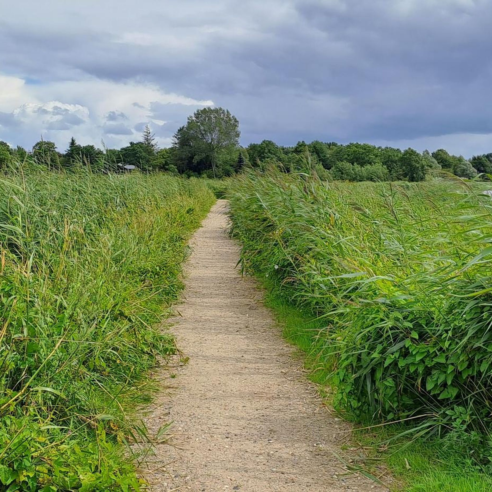
샬비 로드 사이클링 경로
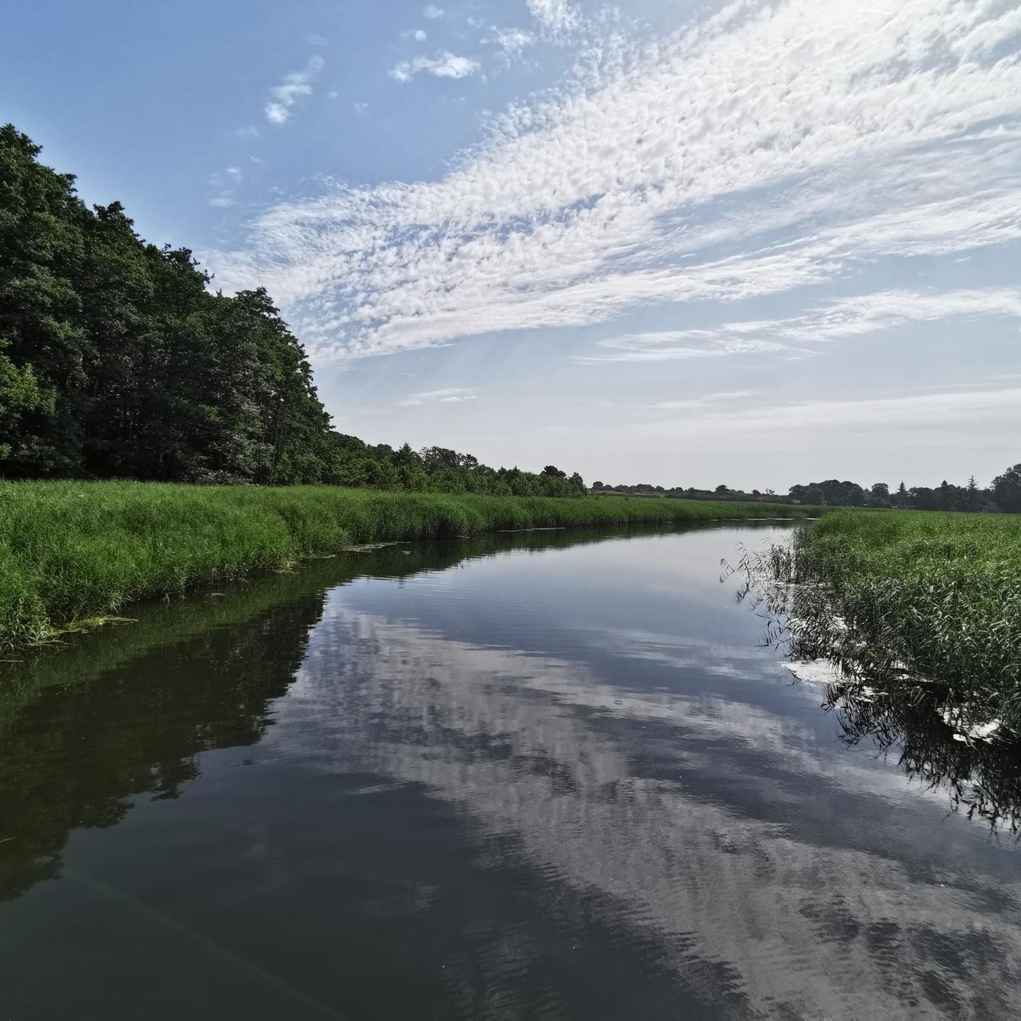
샬비 MTB 트레일
샬비 주변의 다른 모험


커뮤니티 팁


The Kahleby Spring is not a "silver spring" in the sense of mineral water, as in Silberquell, but rather a spring near Kahleby, located 200 meters north of the church. It is not considered a drinking water source, but rather is fed from a crevice in a field. The spring is a point on the "Kahleby Spring Loop" from Taarstedt.
0
0


The Loiter Au is a river in the Angeln region in the Schleswig-Flensburg district in Schleswig-Holstein. At the source of the river, the Kreuzau in Brebelholz, the Oxbek and the Wellspanger Au flow together. The river flows through the villages of Loit and Scholderup, where there are moorings for canoeists. ...
1
0

The church is special, especially because there are hardly any houses around it.
1
0

Beautiful church and well-kept cemetery
1
0

Natural bathing area Winningmay, small bathing area with view of the Kleine Breite from the Schlei
4
0

The Reesholm peninsula took on its current shape during the last Weichselian glaciation, when a wide tongue of ice advanced to the western end of the Schlei basin. This is how the Schlei channel was formed in the post-glacial period. The higher part of Reesholm remained as a flat moraine ridge. Since 1976, Reesholm and the island of Hestholm in the Große Breite have been designated a nature reserve with the code number 87, covering 120 hectares. Large parts of the meadowland on Reesholm are only just half a meter above sea level and are therefore exposed to flooding. This is how a botanically valuable salt marsh landscape developed. Sand hooks are forming at the southern tip, which are caused by coastal collapse on the steep bank on the west coast of the peninsula, which is three meters above sea level.
3
0
샬비 주변에서 가장 인기 있는 명소


더 살펴보기
다른 지역의 최고의 하이킹를 살펴보세요.
