후룹 최고의 워킹 & 하이킹 경로
4.5
(4681)
18,326
등산객
20
하이킹
정확한 경로를 찾는 것이 때로는 어렵지만 후룹에서 하이킹을 하면 다양한 경치를 마음껏 감상할 수 있답니다. 후룹에서 가장 멋진 하이킹과 워킹 중에서 마음에 드는 활동을 시작해보세요.
마지막 업데이트: 9월 29, 2026
4.6
(9)
24
등산객
5.63km
01:28
40m
40m
초급용 하이킹. 모든 체력 수준에 적합. 실력과 관계없이 누구나 쉽게 갈 수 있는 길.
5.0
(3)
6
등산객
2.59km
00:40
20m
20m
초급용 하이킹. 모든 체력 수준에 적합. 실력과 관계없이 누구나 쉽게 갈 수 있는 길.

5
등산객
9.94km
02:32
40m
40m
보통 하이킹. 좋은 체력 필요. 실력과 관계없이 누구나 쉽게 갈 수 있는 길.
7
등산객
2.34km
00:36
10m
10m
초급용 하이킹. 모든 체력 수준에 적합. 실력과 관계없이 누구나 쉽게 갈 수 있는 길.
5.0
(1)
5
등산객
4.17km
01:05
30m
30m
초급용 하이킹. 모든 체력 수준에 적합. 실력과 관계없이 누구나 쉽게 갈 수 있는 길.
더 다양한 경로와 다른 탐험가들의 추천을 살펴보세요.
이미 komoot 계정이 있나요?
투어 추천은 다른 사람들이 komoot에서 완료한 수천 개의 활동을 바탕으로 구성되어 있습니다.
오늘 무료 계정으로 시작하세요
다음 모험이 기다리고 있어요.
커뮤니티 팁

The asphalt is no longer suitable for the RR
0
0

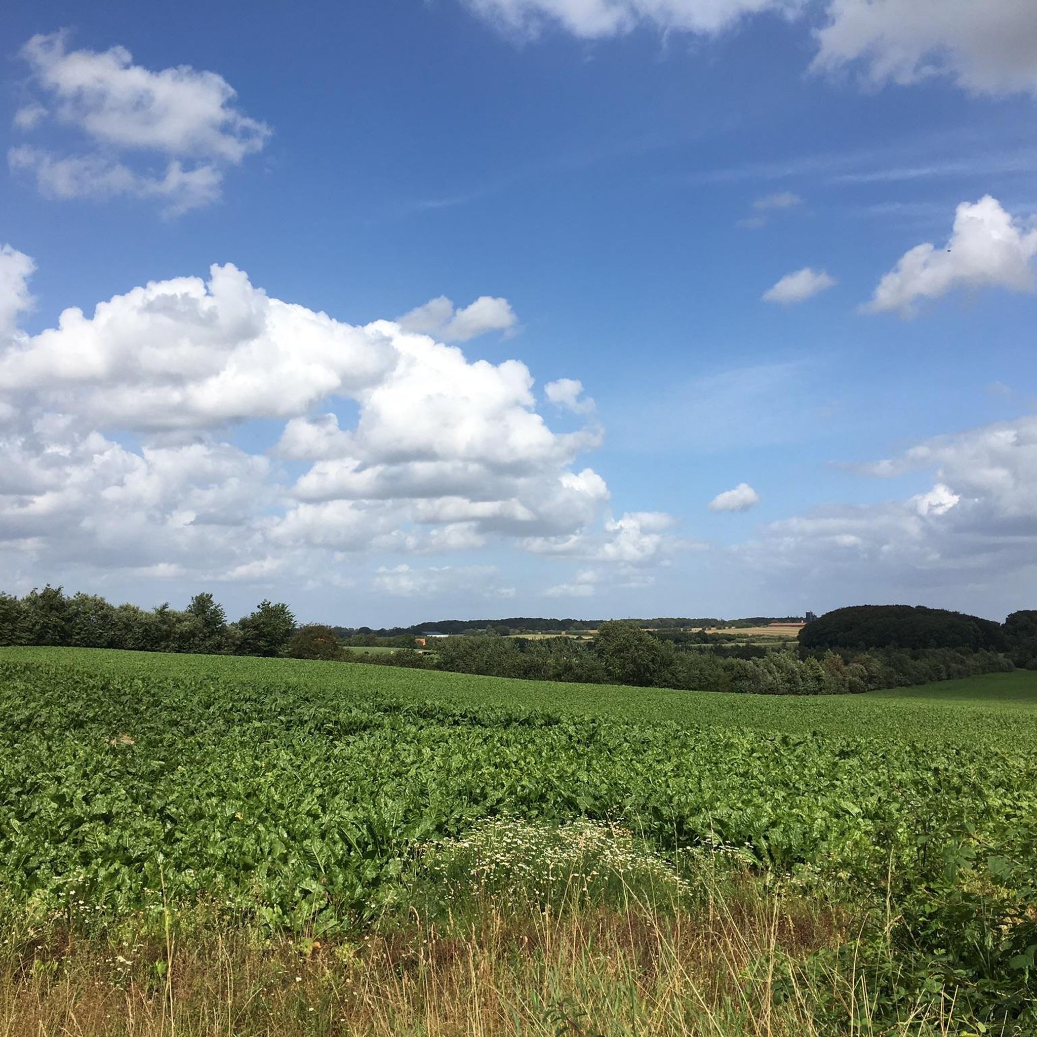
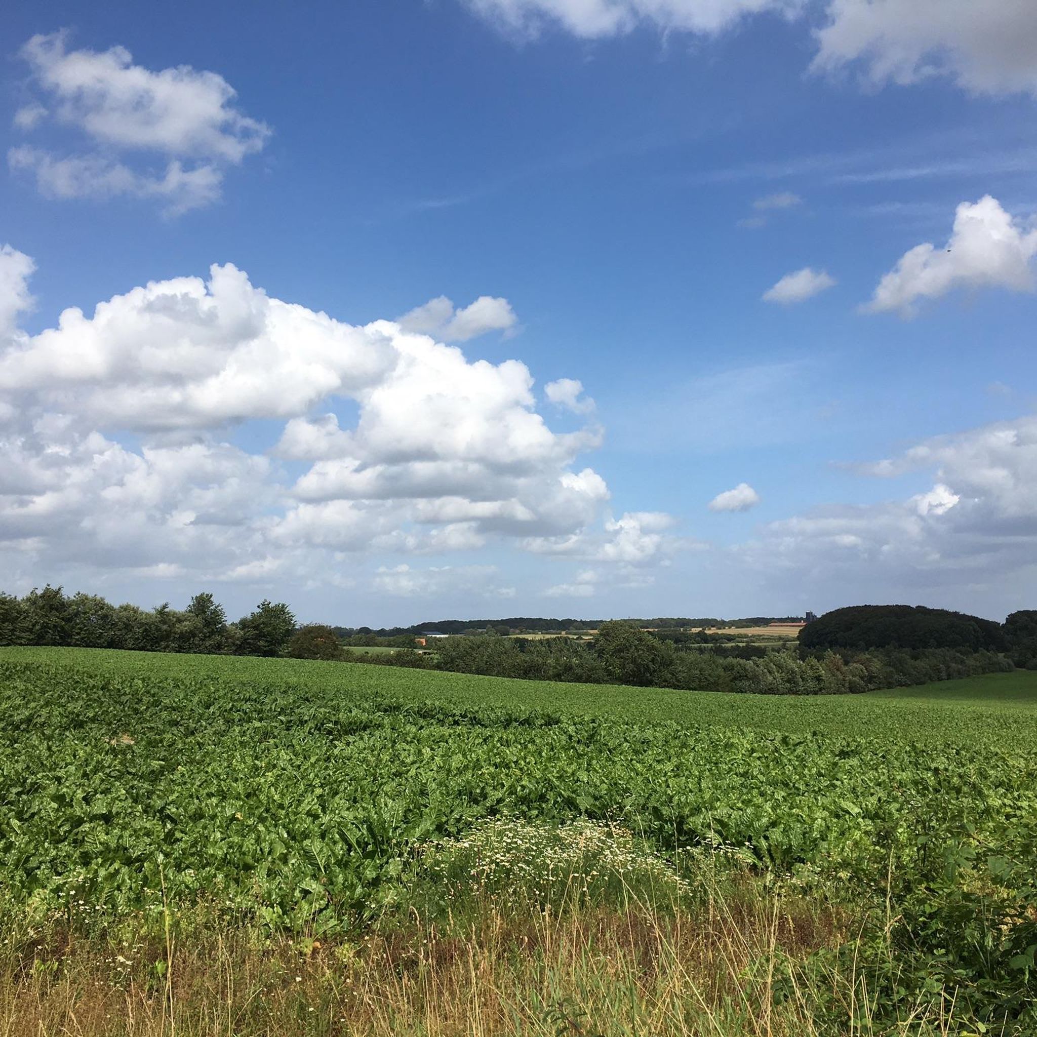
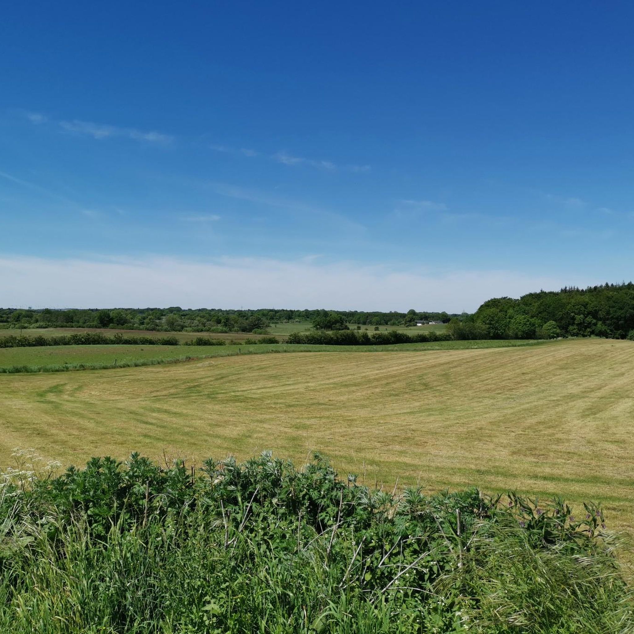
Here you have a wonderful view of the country
0
0

The Höckeberg[ (Danish: Høgebjerg in the municipality of Freienwill, at 82.4 m above sea level. NN is the highest elevation in Angling in the north-east of Schleswig-Holstein. The mountain name is derived from the Danish høg for hawk, the meaning is therefore hawk mountain. The Höckeberg is in the municipality of Freienwill near Kleinwolstrup near the border with the municipality of Hürup on a watershed between the North Sea and the Baltic Sea. The actual hilltop is on a field. The topographic stone of the Höckeberg was moved to the Kleinwolstruper Osterholz north of the knoll and the height was re-entered, since the stone hindered field work. The Höckeberg belongs to a more than 70 meter high hilly area of about 135 hectares, which slopes down and runs out to the north at Hürupholz, east at Hürupmühle and south-west in the direction of Oeversee. The view from the Höckeberg is blocked by the above-mentioned Kleinwolstruper Osterholz to the north, another wood to the east and neighboring hills of almost the same height. On one of these hills, southeast of the hilltop, stands the Freiewill telecommunications tower. Near the transmission tower, the view obviously stretches as far as Satrup and Sörup in the east and Grossenwiehe in the west. Flensburg cannot be seen from there because of the forest mentioned. To the south, the Schleswig telecommunications tower can be seen in the distance. If visibility is good, the Bredstedt telecommunications tower can also be seen in the distance. The Höckeberg is indirectly visible from afar due to the Freiewills telecommunications tower. Its approximate location can therefore be located from the high Flensburg town hall. At the edge heights of the ridge it is possible to look down into the valleys. The city of Flensburg is easily recognizable from the edge of the hill near the farmsteads of Hürupholz, especially in the evening when the city is illuminated. To the west of the village of Kleinwolstrup, on the way to Munkwolstrup, there is a spot from which, in good weather, you can see the spire of Schleswig Cathedral to the south and Flensburg's chimneys through a butthole. Directly north-east of the Höckeberg is the headwaters of the Westenwatt river, which is part of the Mühlenstrom river system, which flows into the Flensburg Fjord at the tip of the Flensburg harbour. https://de.wikipedia.org/wiki/H%C3%B6ckeberg
4
0

Great view of the "television tower"! Super bike route, even with children of primary school age.
0
0


Great view from up here! Coming from Hürup there is a bench in front of the tower where you can linger and enjoy the view.
1
0

One does not believe how idyllic these small peasant forests are in fishing. Here you can walk undisturbed on small paths and listen to nature. With a little luck you can see deer, which are actually quite numerous here. And rabbits anyway. So close to the Flensburg city limits highly recommended.
4
0

후룹 주변에서 가장 인기 있는 명소


더 살펴보기
다른 지역의 최고의 하이킹를 살펴보세요.
