티자노 발 파르마 최고의 러닝 경로
4.9
(8)
969
달리기 하는 사람
14
러닝
티자노 발 파르마에서 하이킹하며 파르마 구석 부분까지 살펴볼까요? 티자노 발 파르마에 있는 모든 하이킹 및 워킹 경로 컬렉션 중 가장 멋진 하이킹 경로를 엄선하여 소개해드릴게요. 다른 하이커가 공유한 실제 팁과 사진을 살펴보고 후기를 읽으며 마음에 드는 티자노 발 파르마 워킹 경로를 찾아보세요.
마지막 업데이트: 10월 10, 2026
99
달리기 하는 사람
19.1km
02:34
690m
700m
Jog the difficult Monte Caio Trail, a 11.9-mile route with 2279 feet of elevation gain, offering panoramic views and ancient forests.
90
달리기 하는 사람
11.3km
01:34
410m
410m
A difficult 7.0-mile (11.3 km) jogging trail in Parco Regionale dei Cento Laghi, featuring 1358 feet of elevation gain and panoramic views.

7.01km
01:14
270m
280m
Jog the moderate 4.4-mile San Matteo Trail in Italy's Parco dei Cento Laghi, gaining 882 feet over an estimated 1 hour and 14 minutes.
99
달리기 하는 사람
20.5km
02:47
860m
860m
어려운 조깅. 우수한 체력 필요. 대부분 포장된 지면. 실력과 관계없이 누구나 갈 수 있음.
62
달리기 하는 사람
30.4km
04:20
1,450m
1,440m
어려운 조깅. 우수한 체력 필요. 대부분 포장된 지면. 실력과 관계없이 누구나 갈 수 있음.
더 다양한 경로와 다른 탐험가들의 추천을 살펴보세요.
이미 komoot 계정이 있나요?
투어 추천은 다른 사람들이 komoot에서 완료한 수천 개의 활동을 바탕으로 구성되어 있습니다.
오늘 무료 계정으로 시작하세요
다음 모험이 기다리고 있어요.
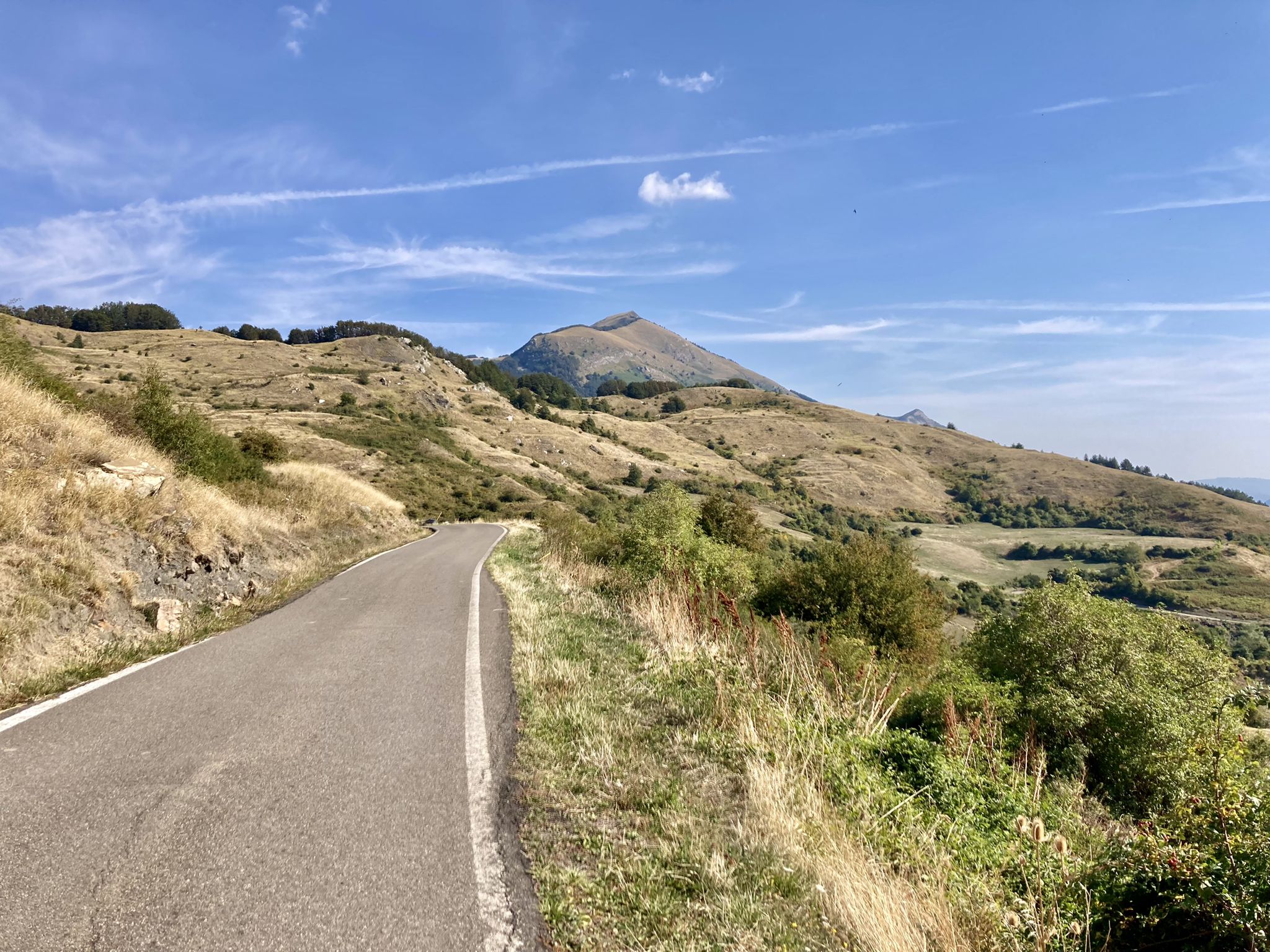
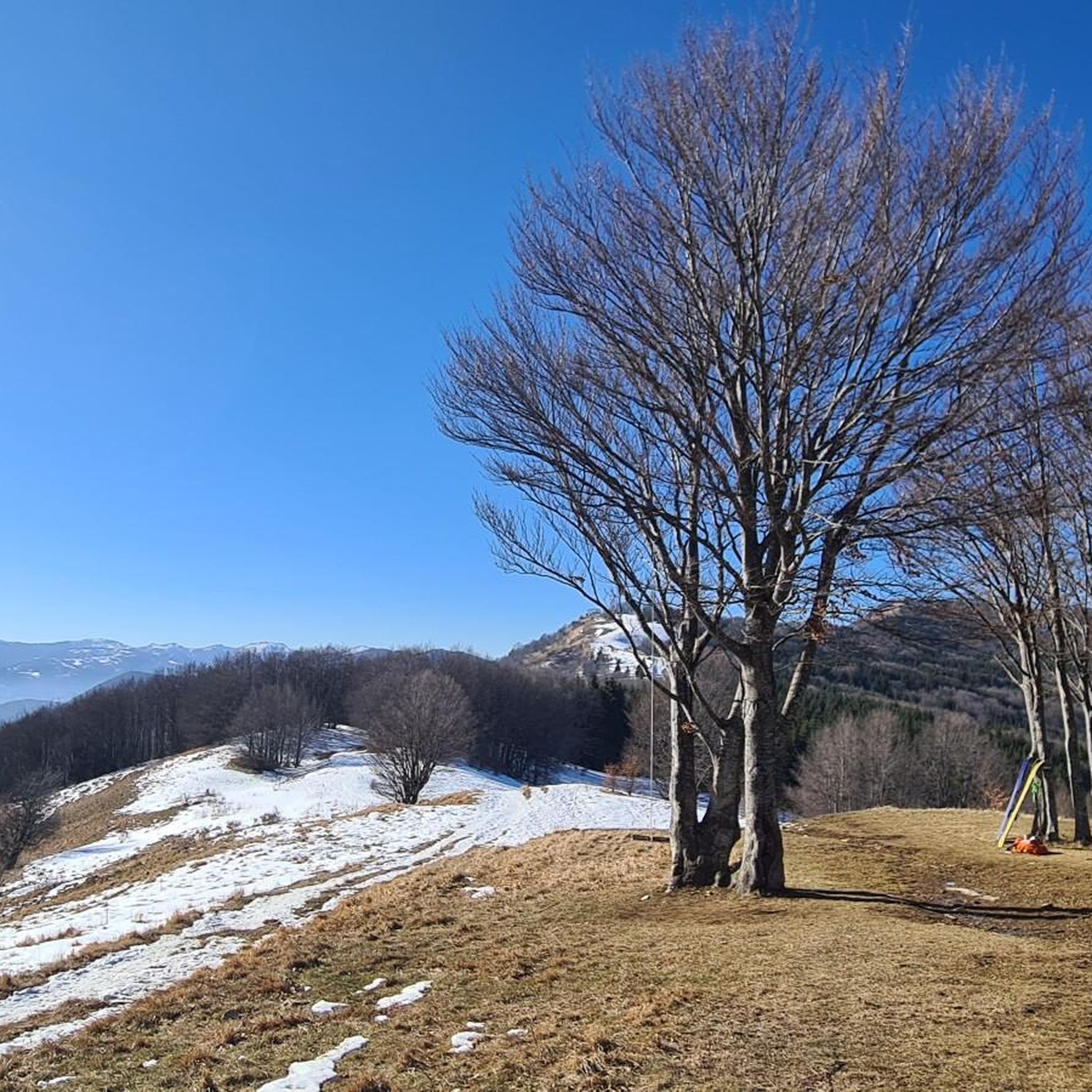
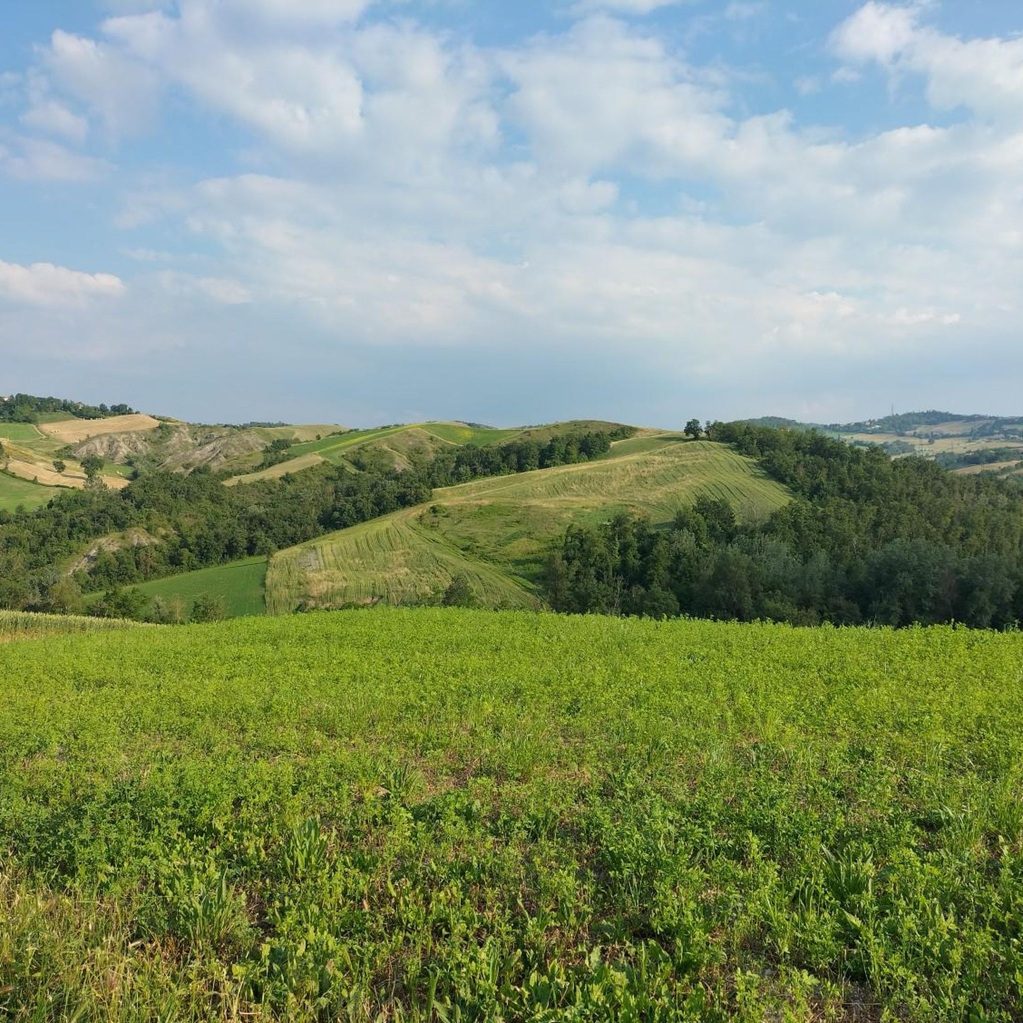
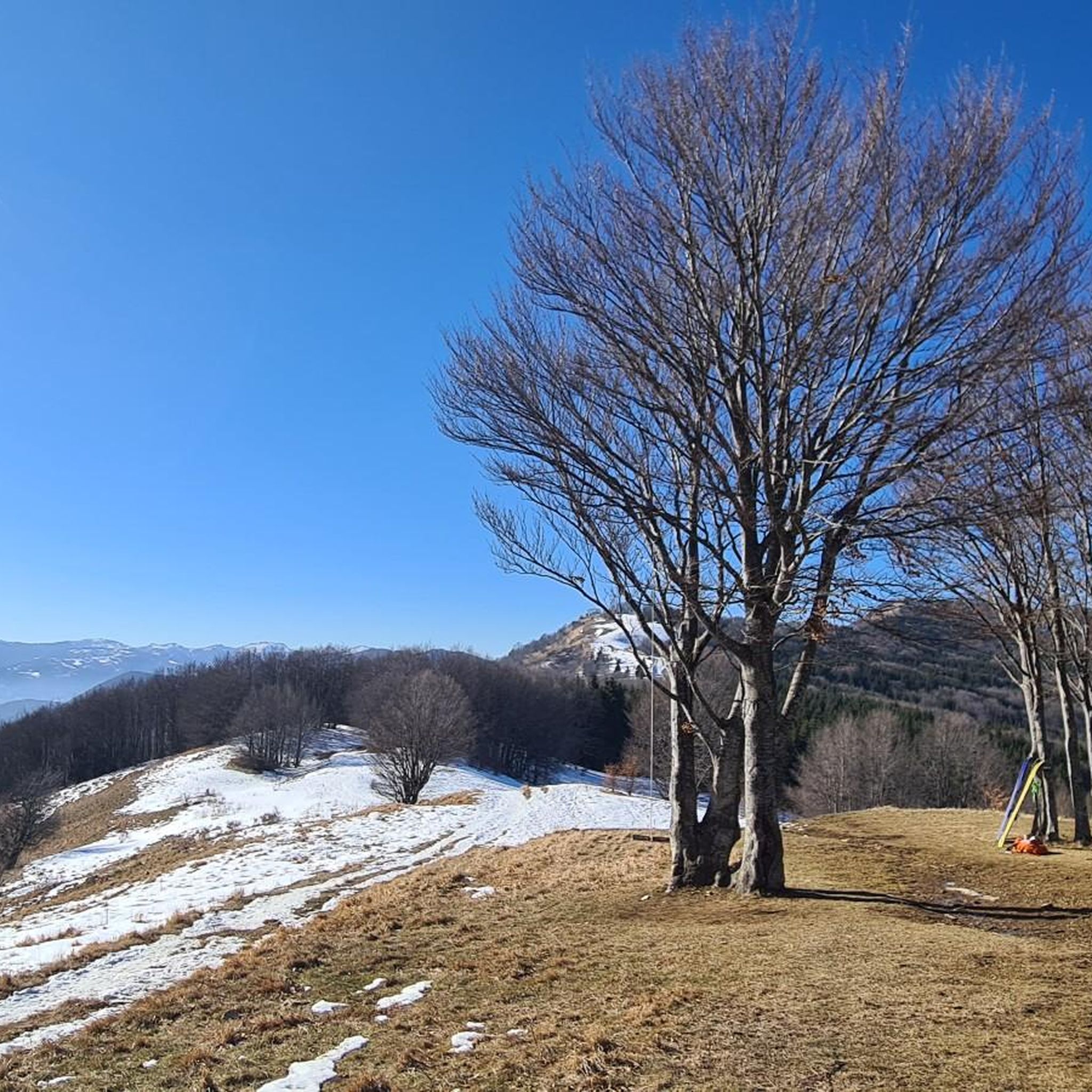
티자노 발 파르마 주변의 다른 모험

커뮤니티 팁

이 지역에서 가장 경치 좋은 봉우리 중 하나임에 틀림없습니다. 360도 전망과 도보 또는 MTB로 쉽게 접근 가능
0
0
파르마에서 가장 큰 것인지, 이탈리아에서 가장 큰 것인지, 아니면 무엇인지 모르겠습니다. 확실한 것은 제가 본 것 중 가장 큰 것이라는 것입니다. 장엄하고 매혹적이어서 이 지역에 올 때마다 꼭 들르는 곳입니다…
0
0
On days with good visibility you can enjoy a fantastic view
0
0

Mount Caio is a peak of the Parma Apennines geographically located between the municipalities of Palanzano, Tizzano Val Parma and Corniglio and culminating with the Bocchialini peak at an altitude of 1,584 meters; the peak is located in the municipality of Palanzano. It is the mountain with a height higher than 1,500 meters closest to the provincial capital Parma (38 km). On its slopes, at an altitude of 1,250 m in the territory of the Municipality of Tizzano Val Parma, there is the Schia ski resort, equipped with three ski lifts, including a new (2008) two-seater chairlift, which serve about 15 km of slopes. Mount Caio is rich in woods, pastures and fountains, including the one that flows under the hermitage of San Matteo and collects in a tree trunk. At an altitude of 1,450 m there is a small lake fed by an underground spring.
2
0
A centuries-old plant that amazes tourists who come to admire it for its grandeur. It is one of the oldest beech trees in Europe, called Grande Faggio by the inhabitants of the area.
0
0

One of the oldest beech trees in Europe, called Big Beech by the inhabitants of the area.
0
0
Small but delightful lake near the Schia campsite
0
0
Peak of the perennial Apennines located in the municipality of Tizzano Val Parma. It has many panoramic points and suggestive paths.
1
0
티자노 발 파르마 주변에서 가장 인기 있는 명소


더 살펴보기
다른 지역의 최고의 러닝 트레일 & 경로를 살펴보세요.
