티자노 발 파르마 최고의 워킹 & 하이킹 경로
4.4
(161)
659
등산객
30
하이킹
정확한 경로를 찾는 것이 때로는 어렵지만 티자노 발 파르마에서 하이킹을 하면 다양한 경치를 마음껏 감상할 수 있답니다. 티자노 발 파르마에서 가장 멋진 하이킹과 워킹 중에서 마음에 드는 활동을 시작해보세요.
마지막 업데이트: 10월 10, 2026
3.5
(2)
5
등산객
5.26km
01:40
220m
220m
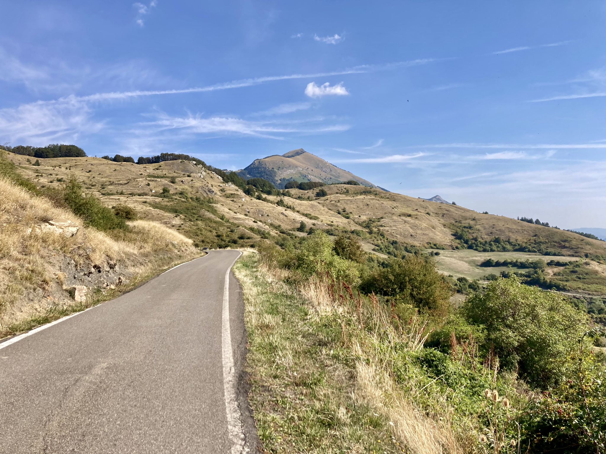
This easy 3.3-mile (5.3 km) hiking loop offers panoramic views from Corno di Caneto in the Parmesan Apennines.
4.0
(1)
3
등산객
11.8km
03:42
460m
460m
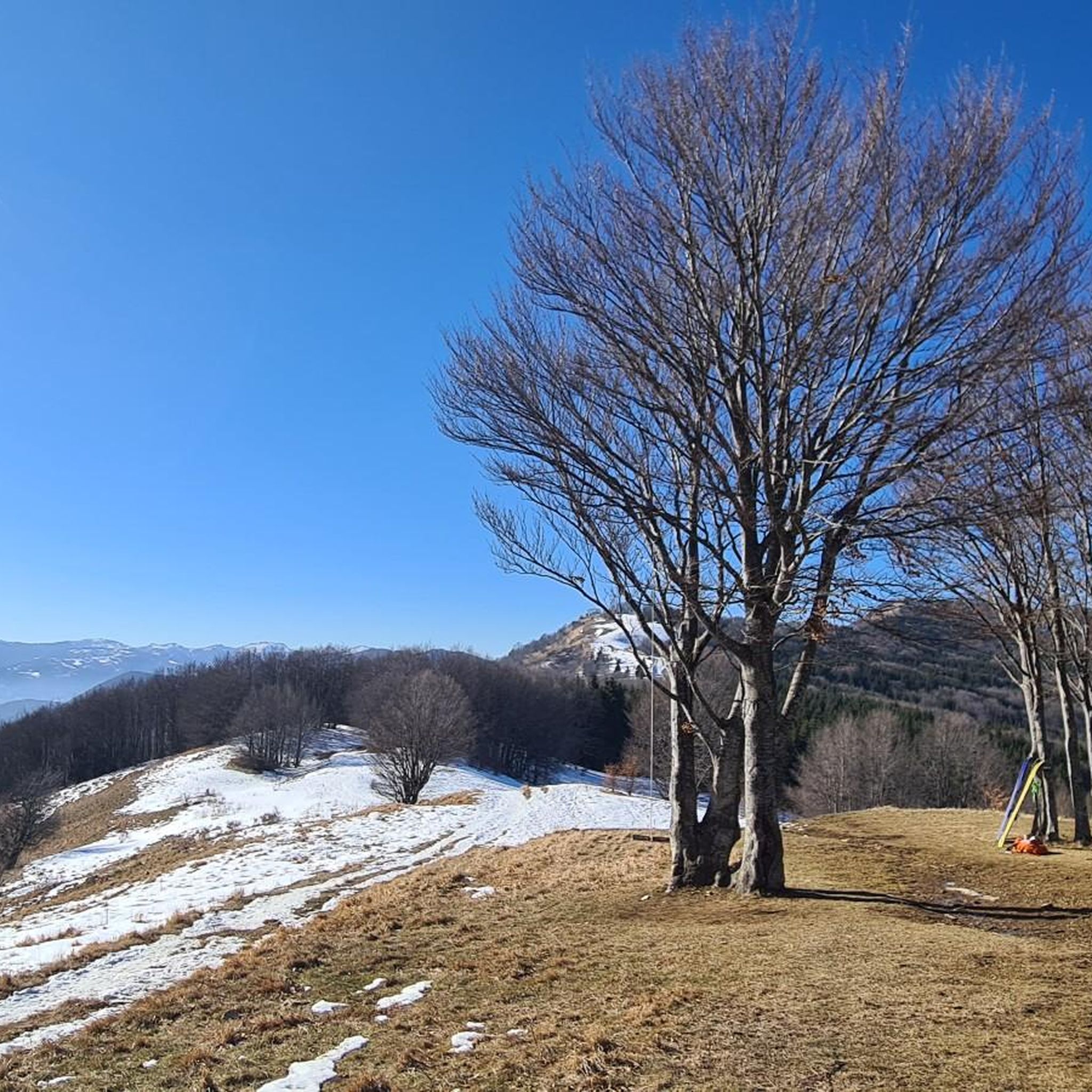
Forest trail through wild orchid meadows to an ancient beech tree and panoramic summit views.

2
등산객
5.27km
01:48
270m
270m
Hike the easy 3.3-mile Ca' Antria - Case Bottazzo - Moragnano Church Trail, gaining 901 feet to explore a historic Romanesque church.
6.56km
02:07
290m
290m
Forest trail through Parchi del Ducato to Monte Lasarino's summit with Parma valley views.
4.5
(26)
161
등산객
9.16km
02:59
410m
410m
보통 하이킹. 좋은 체력 필요. 실력과 관계없이 누구나 쉽게 갈 수 있는 길.
더 다양한 경로와 다른 탐험가들의 추천을 살펴보세요.
이미 komoot 계정이 있나요?
투어 추천은 다른 사람들이 komoot에서 완료한 수천 개의 활동을 바탕으로 구성되어 있습니다.
오늘 무료 계정으로 시작하세요
다음 모험이 기다리고 있어요.
티자노 발 파르마 주변의 다른 모험

커뮤니티 팁

무어라 말해야 할까요… 이 지역에서 가장 인상적인 전망대 중 하나입니다
0
0
이 지역에서 가장 경치 좋은 봉우리 중 하나임에 틀림없습니다. 360도 전망과 도보 또는 MTB로 쉽게 접근 가능
0
0
파르마에서 가장 큰 것인지, 이탈리아에서 가장 큰 것인지, 아니면 무엇인지 모르겠습니다. 확실한 것은 제가 본 것 중 가장 큰 것이라는 것입니다. 장엄하고 매혹적이어서 이 지역에 올 때마다 꼭 들르는 곳입니다…
0
0
Caio 산 정상에 위치한 최근에 개조된 기념물입니다. 도보와 MTB로 접근 가능합니다.
0
0
Beautiful viewpoint with BBQ. Of course, you'll have to carry everything on your back, and especially remember to take your trash down.
0
0
On days with good visibility you can enjoy a fantastic view
0
0


Mount Caio is a peak of the Parma Apennines geographically located between the municipalities of Palanzano, Tizzano Val Parma and Corniglio and culminating with the Bocchialini peak at an altitude of 1,584 meters; the peak is located in the municipality of Palanzano. It is the mountain with a height higher than 1,500 meters closest to the provincial capital Parma (38 km). On its slopes, at an altitude of 1,250 m in the territory of the Municipality of Tizzano Val Parma, there is the Schia ski resort, equipped with three ski lifts, including a new (2008) two-seater chairlift, which serve about 15 km of slopes. Mount Caio is rich in woods, pastures and fountains, including the one that flows under the hermitage of San Matteo and collects in a tree trunk. At an altitude of 1,450 m there is a small lake fed by an underground spring.
2
0
티자노 발 파르마 주변에서 가장 인기 있는 명소


더 살펴보기
다른 지역의 최고의 하이킹를 살펴보세요.
