로지냐노 마리티모 최고의 워킹 & 하이킹 경로
4.3
(330)
1,697
등산객
100
하이킹
정확한 경로를 찾는 것이 때로는 어렵지만 로지냐노 마리티모에서 하이킹을 하면 다양한 경치를 마음껏 감상할 수 있답니다. 로지냐노 마리티모에서 가장 멋진 하이킹과 워킹 중에서 마음에 드는 활동을 시작해보세요.
마지막 업데이트: 10월 12, 2026
4.8
(60)
133
등산객
10.7km
03:05
260m
260m
보통 하이킹. 좋은 체력 필요. 대부분 갈 수 있는 길. 미끄러지지 않게 조심해야 함.
4.4
(18)
195
등산객
초급용 하이킹. 모든 체력 수준에 적합. 실력과 관계없이 누구나 쉽게 갈 수 있는 길.

4.1
(13)
72
등산객
9.25km
02:21
20m
20m
보통 하이킹. 좋은 체력 필요. 실력과 관계없이 누구나 쉽게 갈 수 있는 길.
4.5
(11)
26
등산객
보통 하이킹. 좋은 체력 필요. 대부분 갈 수 있는 길. 미끄러지지 않게 조심해야 함.
4.0
(2)
41
등산객
9.04km
02:16
10m
10m
보통 하이킹. 좋은 체력 필요. 실력과 관계없이 누구나 쉽게 갈 수 있는 길.
더 다양한 경로와 다른 탐험가들의 추천을 살펴보세요.
이미 komoot 계정이 있나요?
투어 추천은 다른 사람들이 komoot에서 완료한 수천 개의 활동을 바탕으로 구성되어 있습니다.
오늘 무료 계정으로 시작하세요
다음 모험이 기다리고 있어요.


커뮤니티 팁

마차차 해변(마차차 마리나의 무료 해변으로도 알려져 있으며, 토스카나 코스타 데글리 에트루스키의 가장 인기 있는 해변 목적지 중 하나인 바다와 체치나 사이 로시냐노 마리티모 시에 위치)은 가족 단위 방문객과 자연과 편안함 사이의 적절한 균형을 찾는 사람들에게 특히 사랑받고 있습니다.
0
0
La Spiaggia della Mazzanta(마차나 해변, 바다와 체치나 사이의 마리나 디 마차나의 무료 해변으로도 알려져 있음, 로시냐노 마리티모 시에 위치)는 토스카나의 에트루리아 해안에서 가장 인기 있는 해변 목적지 중 하나입니다. 특히 어린이가 있는 가족과 자연과 편안함 사이의 적절한 타협점을 찾는 사람들에게 사랑받고 있습니다.
0
0
19세기에 Fine 강과 Cecina 강의 하구 사이 해안을 따라 조성되었으며, 주로 해송(pinus pinea)과 알레포 소나무로 구성되어 있으며, 하층 식생으로는 전형적인 지중해성 관목림이 있습니다. 소나무 숲은 그늘진 보행자 및 자전거 도로를 통해 Mazzanta의 무료 해변과 지역의 모래 해안으로 직접 연결됩니다. 숲과 인근 해변을 가로지르는 이 경로는 편안한 산책, 조깅, 산악자전거 타기 또는 자연 속에서 짧은 순환 경로를 즐기기에 이상적입니다.
0
0

Molino a Fuoco 소나무 숲은 Vada(Rosignano Marittimo)에 위치한 역사적인 해안 소나무 숲으로, 원래 1847년 Leopoldo II 대공이 지역 작물을 보호하기 위해 조성했으며, 현재는 시원한 산책, 조깅, 그리고 인근 해변으로 가는 데 이상적입니다. Massa Marittima에서 약 70-80km 떨어져 있습니다(해안을 따라 북쪽으로 차로 1시간 20분 소요).
1
0


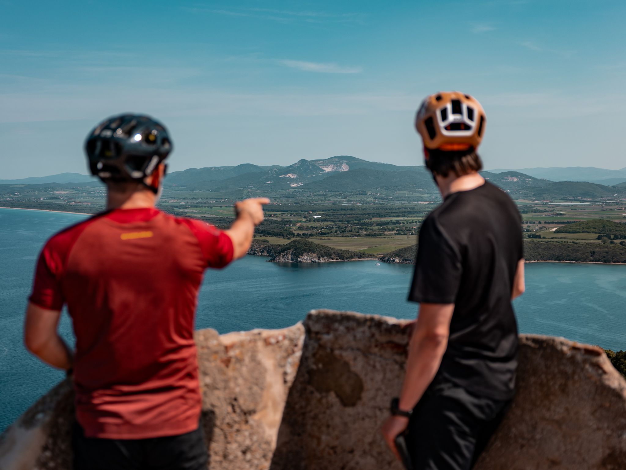
Stunning 360° panorama worth the effort to get there.
0
0

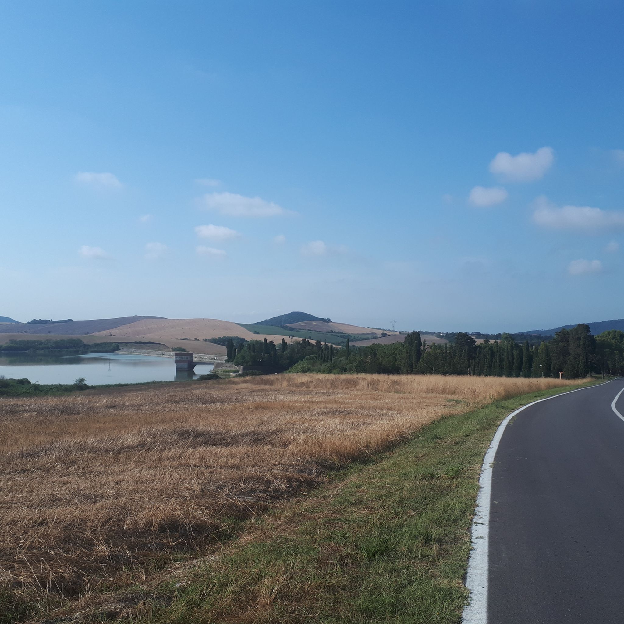
Descent from Poggio Pelato along a slightly technical but very beautiful single track
0
0
로지냐노 마리티모 주변에서 가장 인기 있는 명소


더 살펴보기
다른 지역의 최고의 하이킹를 살펴보세요.
