그란 파라디소 국립공원에서 가장 멋진 20개의 산길
그란 파라디소 국립공원에서 가장 멋진 산길을 아래에서 살펴보세요. 풍경을 감상하기에도 좋고, 오르막길/내리막길을 따라 걷기에도 좋은 곳이랍니다. 커뮤니티가 특별 도움을 통해 공유한 콘텐츠인 만큼 믿을 수 있는 정보이니 마음에 드는 산길이 있다면 바로 다음 모험 계획에 추가해서 바로 방문해보세요.
마지막 업데이트: 10월 13, 2026

코그네의 반자이 트레일로 오르는 오르막
하이라이트 (구간) • 트레일
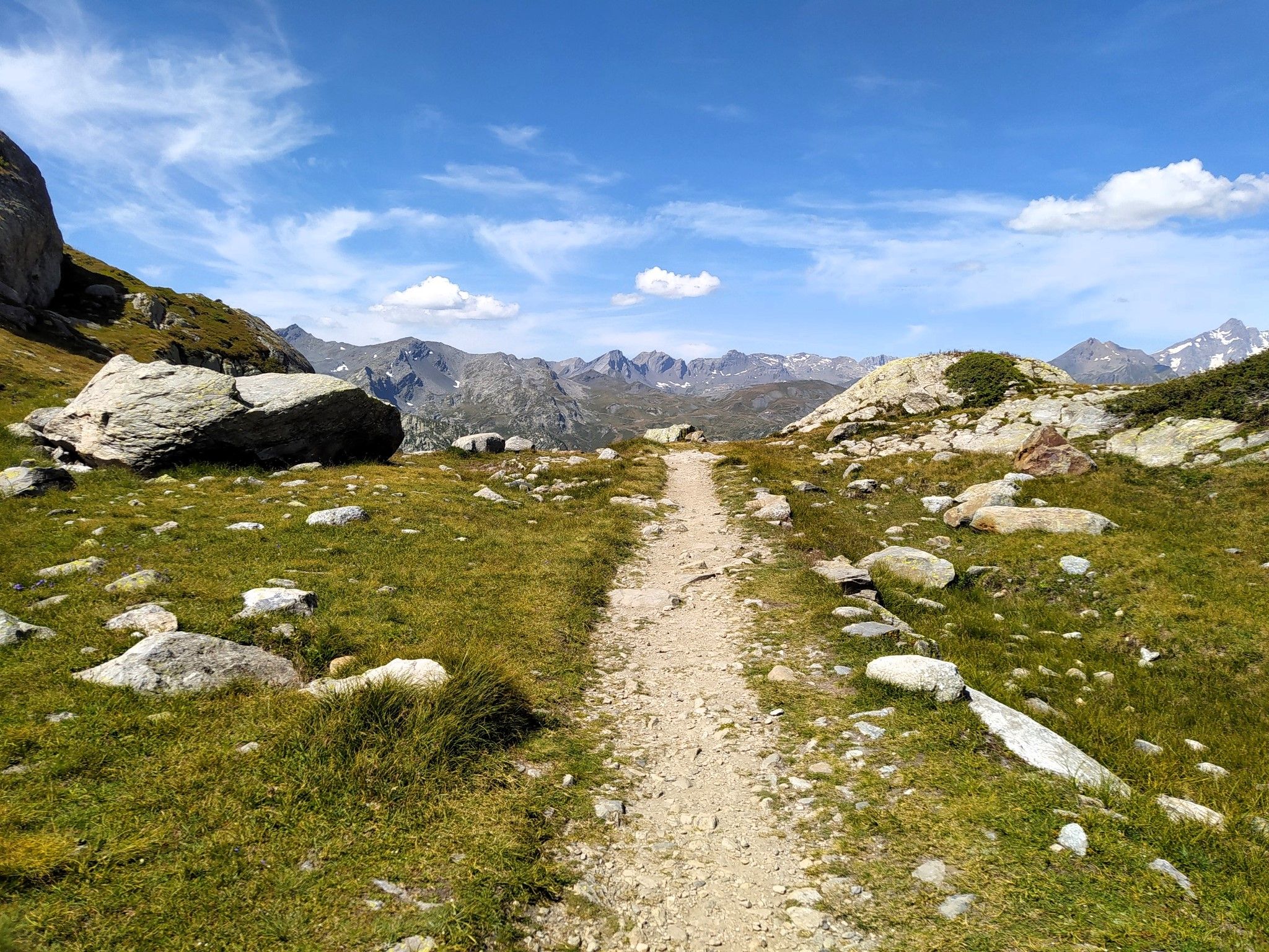
At the end the whole thing flows into an approx. 2km narrow mountain path to the …
번역자 Google •
팁에 의해

이런 장소를 발견하려면 지금 가입하세요
최고의 싱글 트랙, 봉우리 및 다양한 흥미로운 야외 장소에 대한 추천을 받아보세요.
퐁트르 드 샹포르셰
하이라이트 • 산악 고개
번역자 Google •
팁에 의해

Le Pont (1920m) – 그란 파라디소 국립공원
하이라이트 (구간) • 산악 고개
번역자 Google •
팁에 의해

라고 아녤에서 콜레 델 니볼레트까지 오르막길
하이라이트 (구간) • 산악 고개
번역자 Google •
팁에 의해

무료로 가입하여 그란 파라디소 국립공원 주변의 더 많은 산악 고개를 발견하세요.
이미 komoot 계정이 있나요?
오늘 무료 계정으로 시작하세요
다음 모험이 기다리고 있어요.
그란 파라디소 국립공원 주변 인기 장소
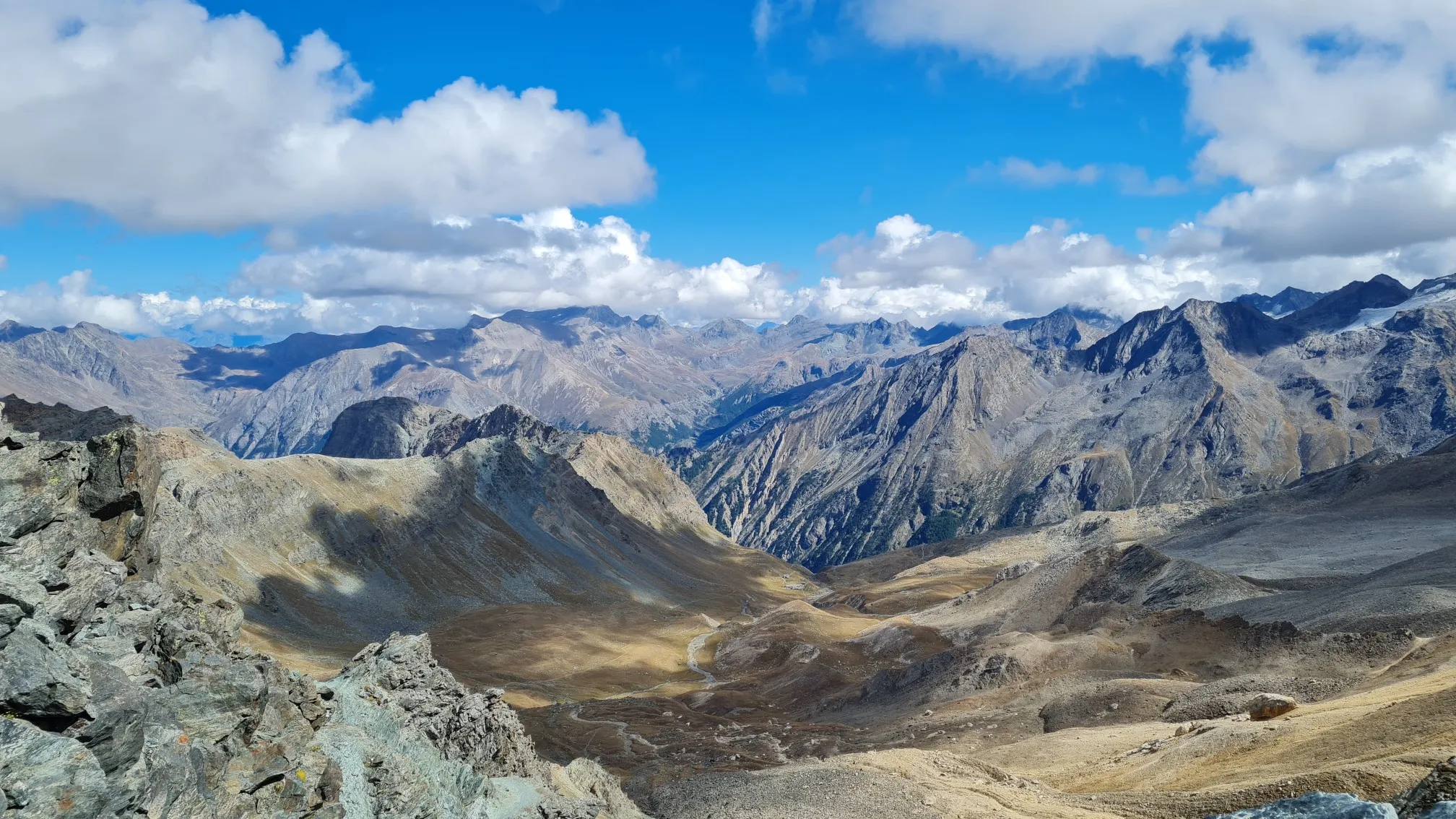
이탈리아 알프스의 트레일 러닝 모험 - 지로 델 그란 파라디소

빽빽한 숲, 호수와 인상 깊은 수렁 - GTA Central Piedmont
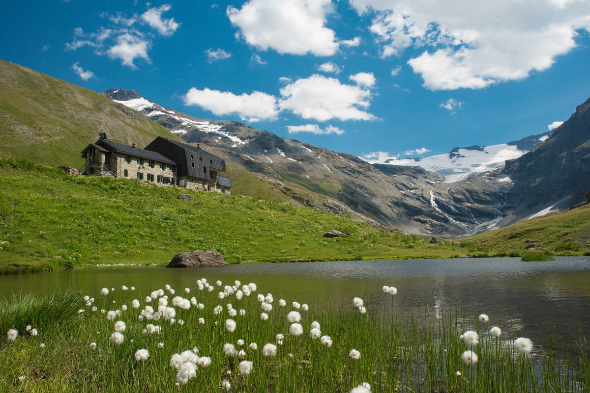
Hiking to the Aosta Valley’s mountain huts: 10 beautiful trails
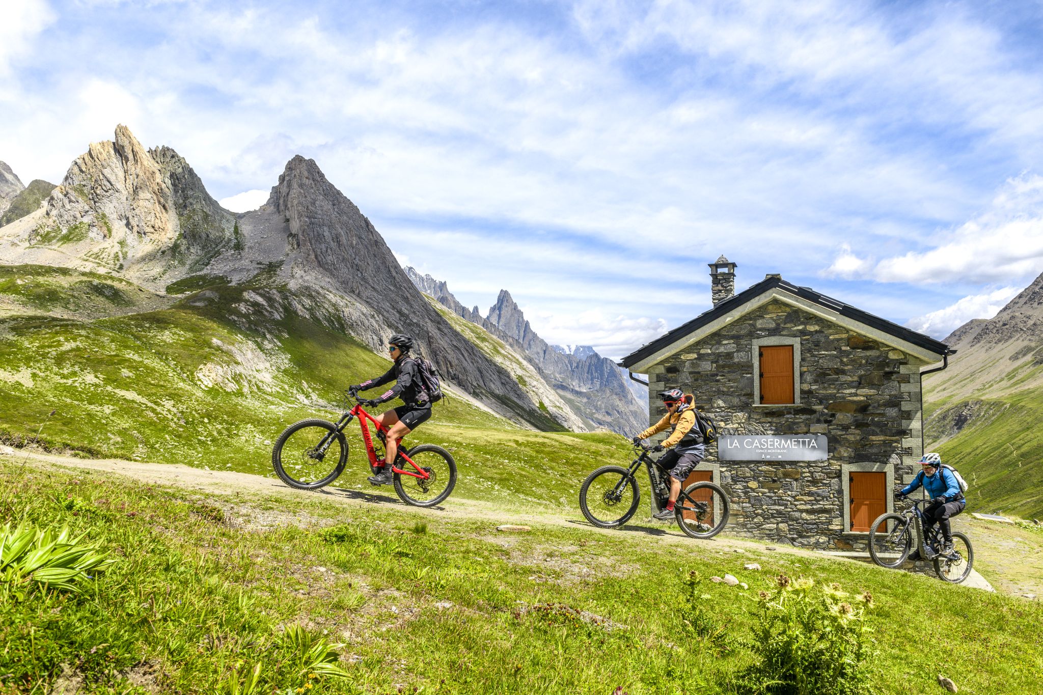
The Aosta Valley by e-MTB – alpine landscapes, castles and glaciers

Alta Via n. 2 of the Aosta Valley — high peaks and beautiful valleys in Italy
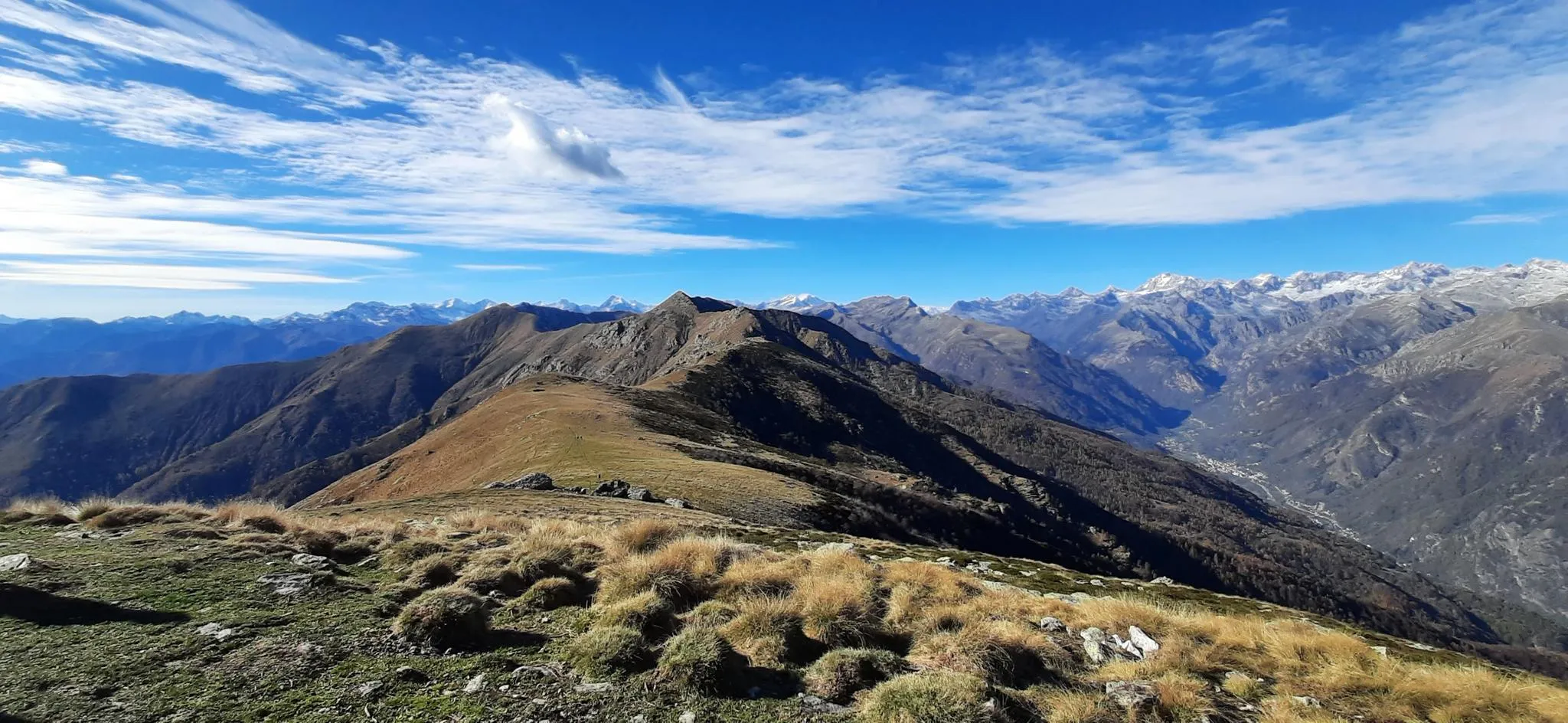
이탈리아 오르코 계곡의 트레일 러닝 - 알타 비아 카나베사나
천국에서 달리기 - Valle d'Aosta의 Alta Via 2
이탈리아 알프스에서 산악 자전거 헛간에서 헛간까지
가개 과제도 가리스타일 검색은 한다시 - Tor des Géants
이탈리아의 높은 고대와 아름다운 계곡 - 아오스타 계곡의 알타 비아 트레일
그란 파라디소 국립공원 주변의 다른 모험


커뮤니티 팁

오르막길이 길지만 접근 가능합니다. 풍경이 멋지고 차량 통행량이 실제로 상당히 제한적입니다(8월 15일에 갔다는 점을 명시합니다). 추천합니다!
0
0

Chemin du Roi에서 오를 수 있고 Miserin 호수 옆길로 내려갈 수 있으며, 첫 절반은 간헐적이고 자전거 타기 어려운 구간입니다.
0
0

The climb winds through a majestic valley (personally my favorite), never reaching excessive gradients; it's long but pedalable, allowing you to fully enjoy the natural surroundings. Apart from the peak season, there's almost no traffic, although you might encounter a few campers, which can be annoying on the way down. If you tackle the climb during periods of the year when there aren't too many tourists, you might, like me, have pleasant encounters with ibex and chamois that have come down to road level.
1
0

https://youtu.be/KdsaBL0twzY?si=-LI75WFE57aHMvCE Very well described by meckomat: first gravel, then 2km of singletrack, sometimes flat, sometimes steeper, the last 300m of elevation gain can only be achieved by pushing at least.
0
0

At an altitude of 2625 metres, Colle del Nivolet marks the border between Piedmont and Valle d'Aosta. Going up from Ceresole Reale the road is entirely asphalted and therefore quite busy. Spectacular views 🤩🏔️
2
0

The waterfalls encountered during the climb are very characteristic
0
0

If the temperature allows it (in July it should be perfect) a dip in the lake is a fantastic emotion! The water is chilly (4 or 5°) but after the effort made to climb it gives a crazy charge!
0
0

The waterfalls are perfect for mid ride refills.
1
0
그란 파라디소 국립공원 주변에서 가장 인기 있는 경로
그란 파라디소 국립공원 주변에서 가장 인기 있는 명소


더 살펴보기
이 가이드를 통해 더 많은 장대한 산악 통과를 확인해보세요 그란 파라디소 국립공원 주변:
