브뤼송에서 가장 멋진 20개의 산길
브뤼송에서 가장 멋진 산길을 아래에서 살펴보세요. 풍경을 감상하기에도 좋고, 오르막길/내리막길을 따라 걷기에도 좋은 곳이랍니다. 커뮤니티가 특별 도움을 통해 공유한 콘텐츠인 만큼 믿을 수 있는 정보이니 마음에 드는 산길이 있다면 바로 다음 모험 계획에 추가해서 바로 방문해보세요.
마지막 업데이트: 9월 16, 2026

Colle Betta
하이라이트 • 산악 고개
번역자 Google •
팁에 의해

이런 장소를 발견하려면 지금 가입하세요
최고의 싱글 트랙, 봉우리 및 다양한 흥미로운 야외 장소에 대한 추천을 받아보세요.

콜레 델라 몰로냐 그란데
하이라이트 • 산악 고개
If you do not intend to descend …
번역자 Google •
팁에 의해


오늘 무료 계정으로 시작하세요
다음 모험이 기다리고 있어요.
브뤼송 주변 인기 장소
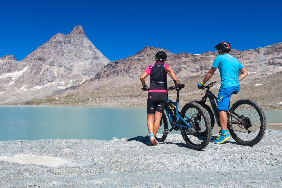
The Aosta Valley by MTB – between valleys and majestic peaks
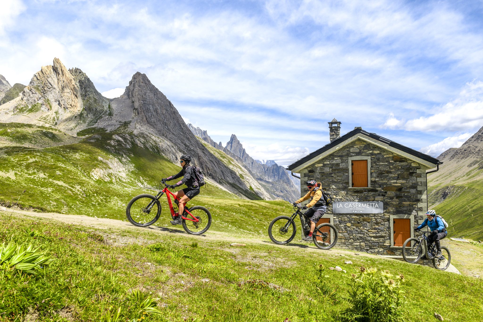
The Aosta Valley by e-MTB – alpine landscapes, castles and glaciers
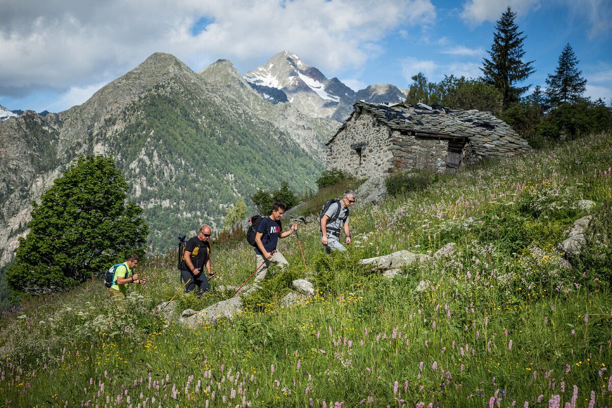
Hidden trails in the Aosta Valley – mountains you don't yet know
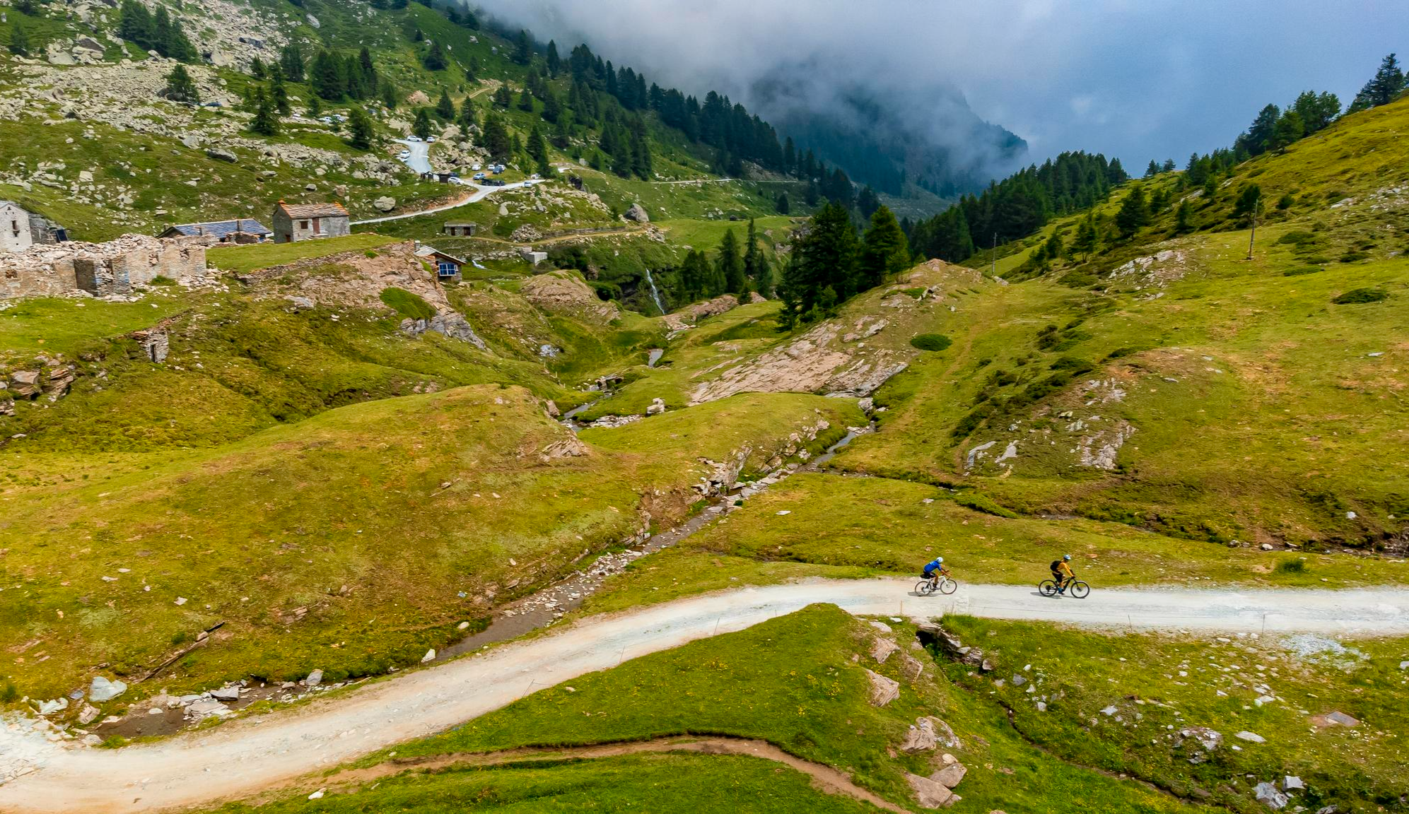
Must-do gravel routes in the Aosta Valley – the heart of the Italian Alps
브뤼송 하이킹
브뤼송 MTB 트레일
브뤼송 로드 사이클링 경로

브뤼송 주변 그래블 라이딩
브뤼송 러닝 트레일
브뤼송 사이클링
브뤼송 주변의 다른 모험

커뮤니티 팁


Col des Fontaines, at 2,695 meters above sea level, is an Alpine pass that enchants with its spectacular views between Val d’Ayas and Valtournenche. The path to reach it winds through pastures and larch forests, offering glimpses of uncontaminated nature and an atmosphere of great tranquility. It is the ideal starting point for exploring the nearby peaks or simply for enjoying a moment of peace immersed in the majestic mountains of the Aosta Valley.
1
0

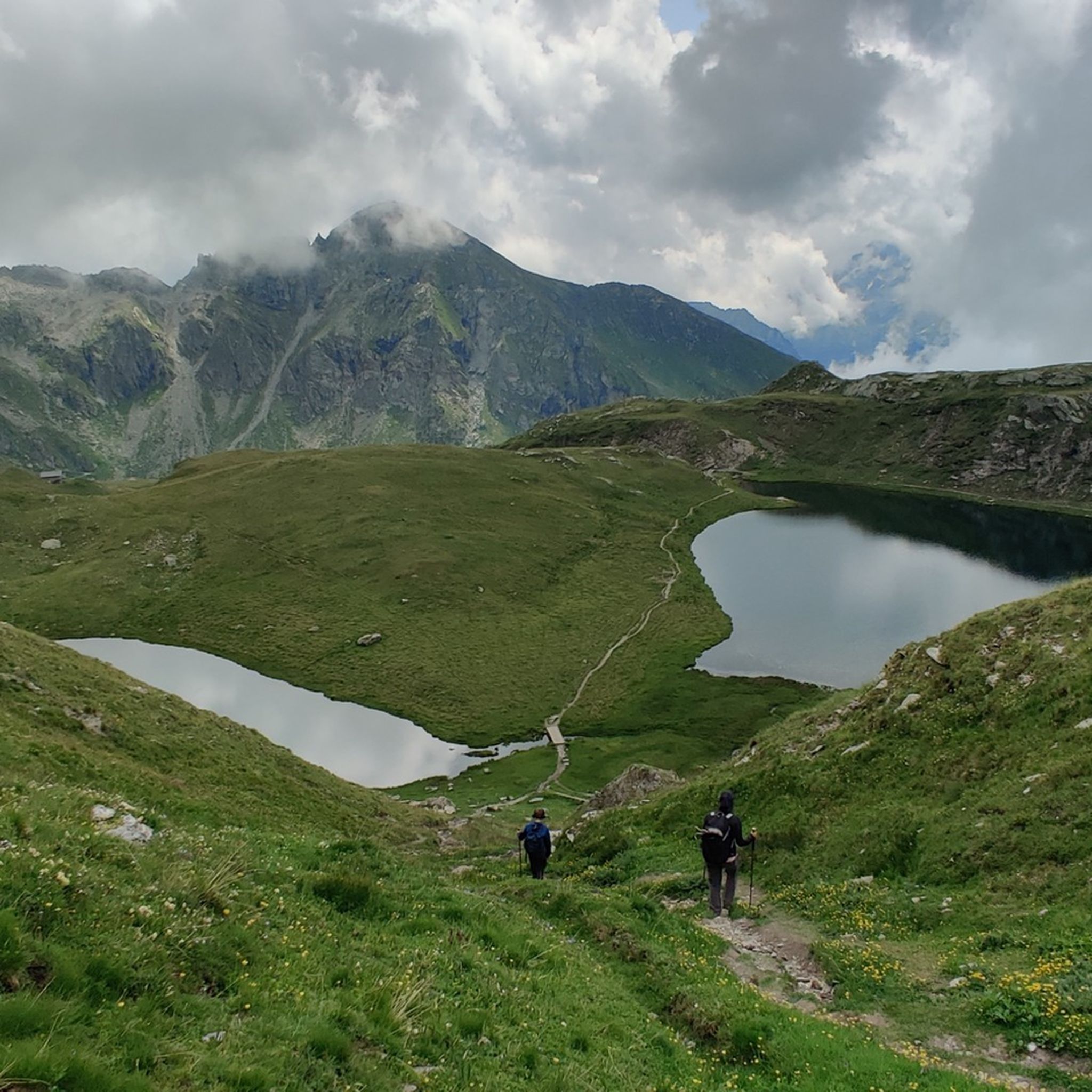
Colle della Mologna Grande (about 2,390m) connects Valle Cervo to Valle di Gressoney along the Alta Via n. 1. Reachable from Piedicavallo via a well-preserved historic mule track, it is a panoramic itinerary that passes by the Rivetti Refuge and offers spectacular views as far as Mont Blanc.
2
0


The Col de Joux is a picturesque pass connecting the Ayas Valley to the central valley. The gradients to reach it, both from Saint-Vincent and from Brusson, are always manageable, but never negligible. The word Joux likely derives from a pre-Latin term meaning wooded hill. Others, however, maintain a Latin connection to the word Jugum, meaning yoke, and hence hill.
2
0

해발 1,640미터에 위치한 콜 데 주(Col de Joux)는 생뱅상(Saint-Vincent)과 브뤼송(Brusson) 코뮌을 연결하는 숲이 우거진 고개입니다. 이곳으로 이어지는 길은 단순하고 기술적이지 않으며, 생뱅상 쪽에서는 탁 트인 전망을, 브뤼송 쪽에서는 숲을 통과하는 길을 제공합니다.
4
0


더 살펴보기
이 가이드를 통해 더 많은 장대한 산악 통과를 확인해보세요 브뤼송 주변:
