오야스에서 가장 멋진 13개의 산길
오야스에서 가장 멋진 산길을 아래에서 살펴보세요. 풍경을 감상하기에도 좋고, 오르막길/내리막길을 따라 걷기에도 좋은 곳이랍니다. 커뮤니티가 특별 도움을 통해 공유한 콘텐츠인 만큼 믿을 수 있는 정보이니 마음에 드는 산길이 있다면 바로 다음 모험 계획에 추가해서 바로 방문해보세요.
마지막 업데이트: 9월 16, 2026

Col de Champillon
하이라이트 • 산악 고개
번역자 Google •
팁에 의해

이런 장소를 발견하려면 지금 가입하세요
최고의 싱글 트랙, 봉우리 및 다양한 흥미로운 야외 장소에 대한 추천을 받아보세요.
Col du Salvé
하이라이트 • 산악 고개
번역자 Google •
팁에 의해

Fenêtre du Tsan
하이라이트 • 산악 고개
번역자 Google •
팁에 의해

Col de Vessonaz
하이라이트 • 산악 고개
번역자 Google •
팁에 의해
무료로 가입하여 오야스 주변의 더 많은 산악 고개를 발견하세요.
이미 komoot 계정이 있나요?





커뮤니티 팁

경로를 공유해 주셔서 감사합니다! 풍경, 힘든 정도, 재미있는 내리막길 모두 훌륭한 투어였습니다! 최고!! 저는 9시간 20분 만에 마쳤습니다.
0
0

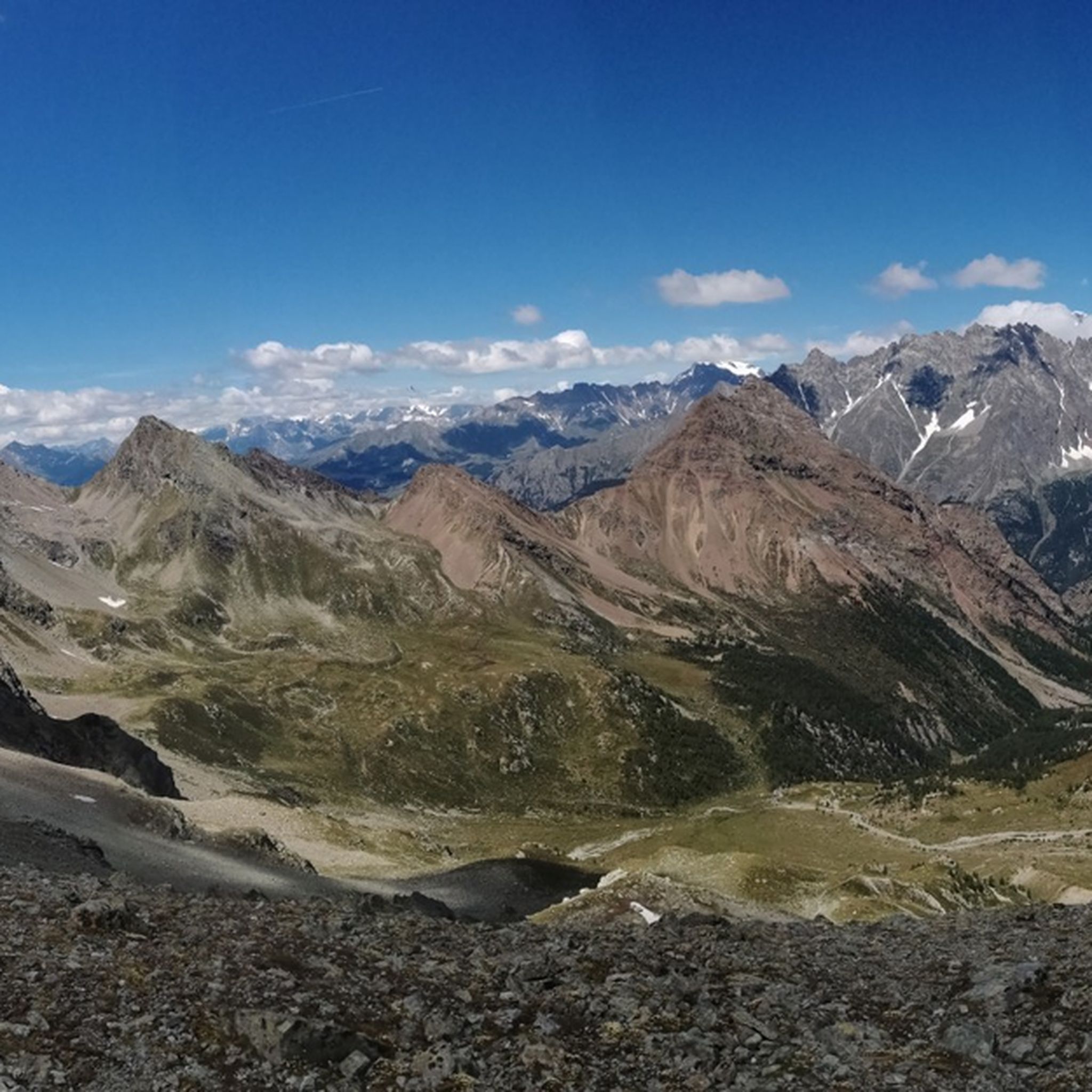
Very panoramic hill, reachable only with bike on your shoulder
0
0

The pass between Switzerland and Italy connects Valais and the Aosta Valley (the smallest region in Italy with the black and red flag). "The Fenêtre de Durand is a 2,797-meter-high mountain pass in the Pennine Alps. The mule track connects the Swiss Rhône Valley via the Val de Bagnes with the Italian Aosta Valley. The gap between the 3,347-meter-high Mont Avril and the 3,518-meter-high Mont Gelé (Chanrion) is the only ice-free crossing over the main Alpine ridge east of the Grand Combin massif and west of the Monte Rosa massif. Immediately below the pass summit, on the Italian side, is the small Lac Fenêtre." Source: Wikipedia.
1
0

Col du Salvé, at 2,569 meters above sea level, is a pass that offers a wide and suggestive panorama among the mountains of the Saint-Barthélemy Valley. The path that leads to this point passes through woods and pastures, offering a pleasant route immersed in nature. From the hill you can admire the surrounding peaks and continue towards hidden corners such as the Rifugio Oratorio di Cuney or the Lago dell’Eremita, for those who want to prolong the experience among silence and authentic landscapes. A perfect place for those who love to walk slowly and enjoy every breath of the mountains.
2
0
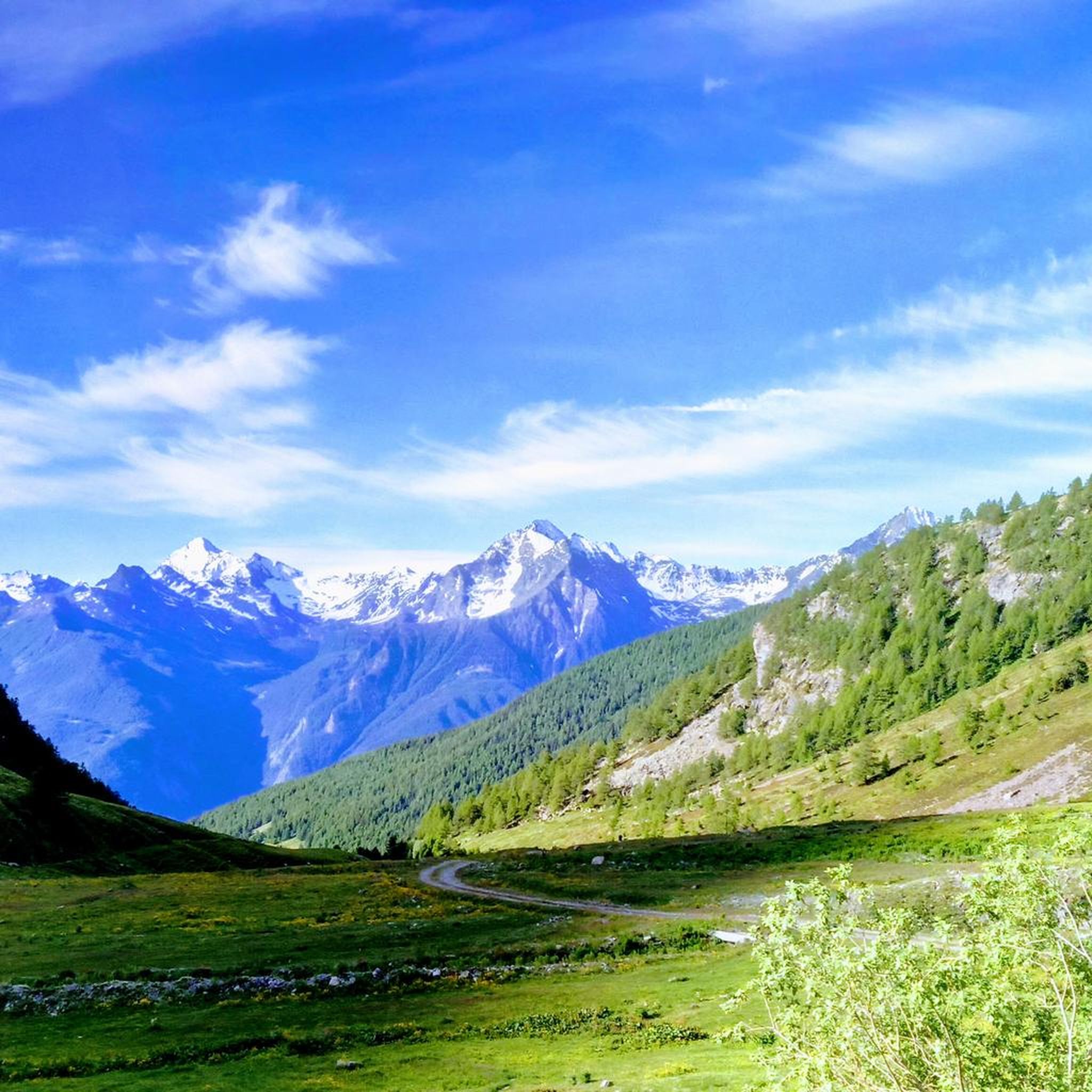
La Fenêtre du Tsan, at 2736m, is a natural balcony that opens between the crests of Valtournenche and Valpelline, offering spectacular views of the Becca di Luseney and the Crottes towers. The hike, immersed in mountain pastures, streams and larch woods, culminates in this pass where a stone cairn marks the passage to a breathtaking panorama. An intense stage, suspended between sky and rocks, capable of giving emotions even at high altitude.
1
0
La Fenêtre du Tsan, at 2736m, is a natural balcony that opens between the crests of Valtournenche and Valpelline, offering spectacular views of the Becca di Luseney and the Crottes towers. The hike, immersed in mountain pastures, streams and larch woods, culminates in this pass where a stone cairn marks the passage to a breathtaking panorama. An intense stage, suspended between sky and rocks, capable of giving emotions even at high altitude.
1
0

Alpine environment of rare beauty. I recommend mountain equipment and gear. Violent hailstorm just as we were on the pass.
0
0

https://youtu.be/D352Ql5fMaY?feature=shared I also passed through here on the Tour du Combin. Crossing the lonely col is simply epic. The climb from Fionnay up to the reservoir through the many tunnels is an experience; the climb to the col is easy for a long time, but quite steep at the end. The descent across the lake into the valley is an absolutely fantastic trail, culminating in the Ru Neuf irrigation channel.
1
0
오야스 주변에서 가장 인기 있는 명소


더 살펴보기
이 가이드를 통해 더 많은 장대한 산악 통과를 확인해보세요 오야스 주변:
