6의 아렌제가지 명소 & 주요 장소
아렌제에는 둘러볼 만한 장소가 많답니다. 하이킹 또는 사이클링을 좋아한다면 아렌제에 숨겨진 6
가지 보석을 만날 수 있을 거예요. 이 지역의 주요 명소를 살펴보면서 다음 모험을 계획해보세요.
마지막 업데이트: 8월 30, 2026
베스텐제 자연공원의 아렌제와 북부 베스텐제
하이라이트 (구간) • 호수
번역자 Google •
팁에 의해

Westensee 호반
하이라이트 • 호수
번역자 Google •
팁에 의해

이런 장소를 발견하려면 지금 가입하세요
최고의 싱글 트랙, 봉우리 및 다양한 흥미로운 야외 장소에 대한 추천을 받아보세요.
무료 회원 가입
Westensee와 Ahrensee 사이의 길
하이라이트 (구간) • 트레일
번역자 Google •
팁에 의해

아렌제 호숫가의 숲길
하이라이트 (구간) • 트레일
번역자 Google •
팁에 의해

흰꼬리수리 보호구역 (Naturpark Westensee)
하이라이트 (구간) • 자연
You can hear them, which should be enough.
번역자 Google •
팁에 의해

무료로 가입하여 아렌제 주변의 더 많은 명소를 발견하세요.
무료 회원 가입
이미 komoot 계정이 있나요?
오늘 무료 계정으로 시작하세요
다음 모험이 기다리고 있어요.
로그인 또는 가입하기
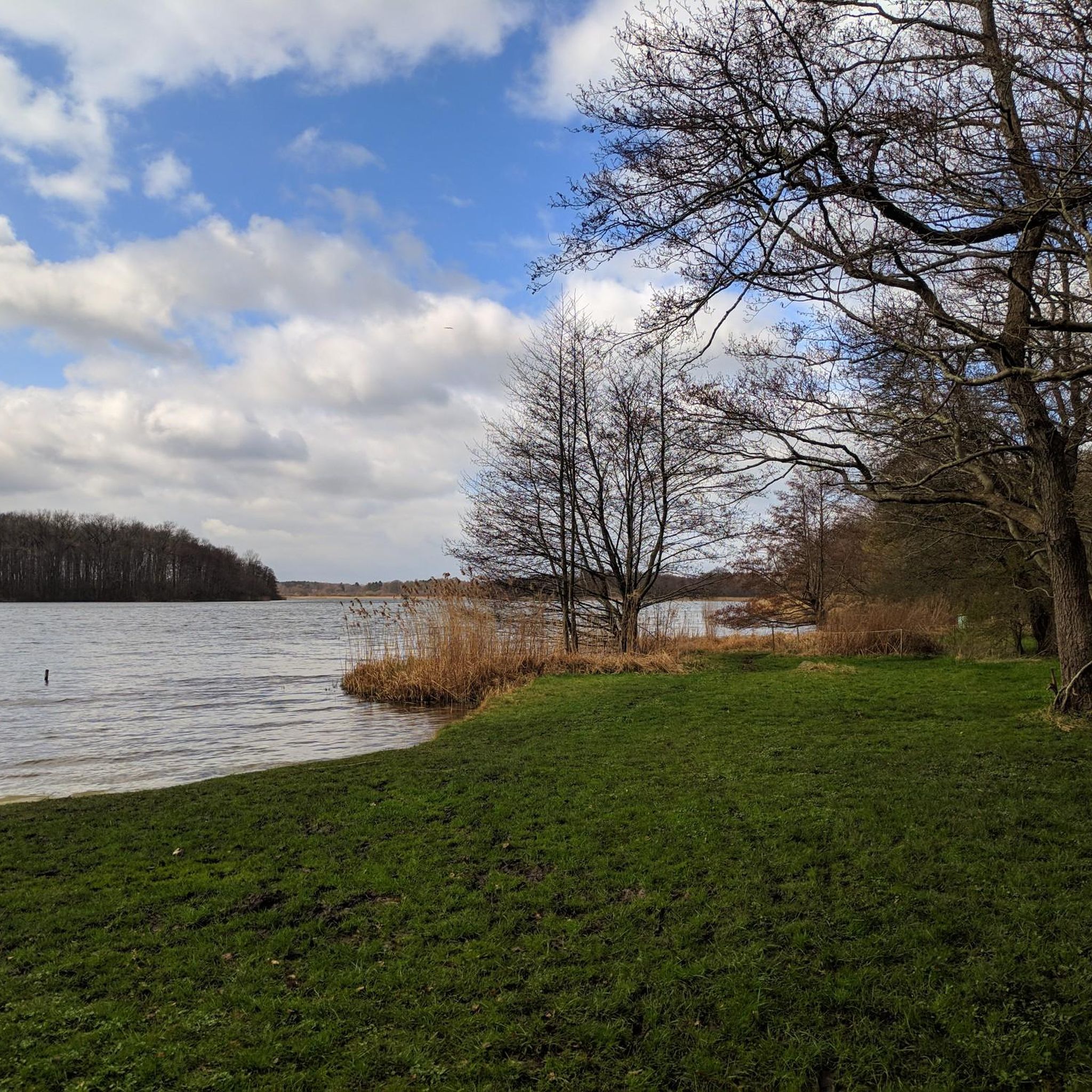
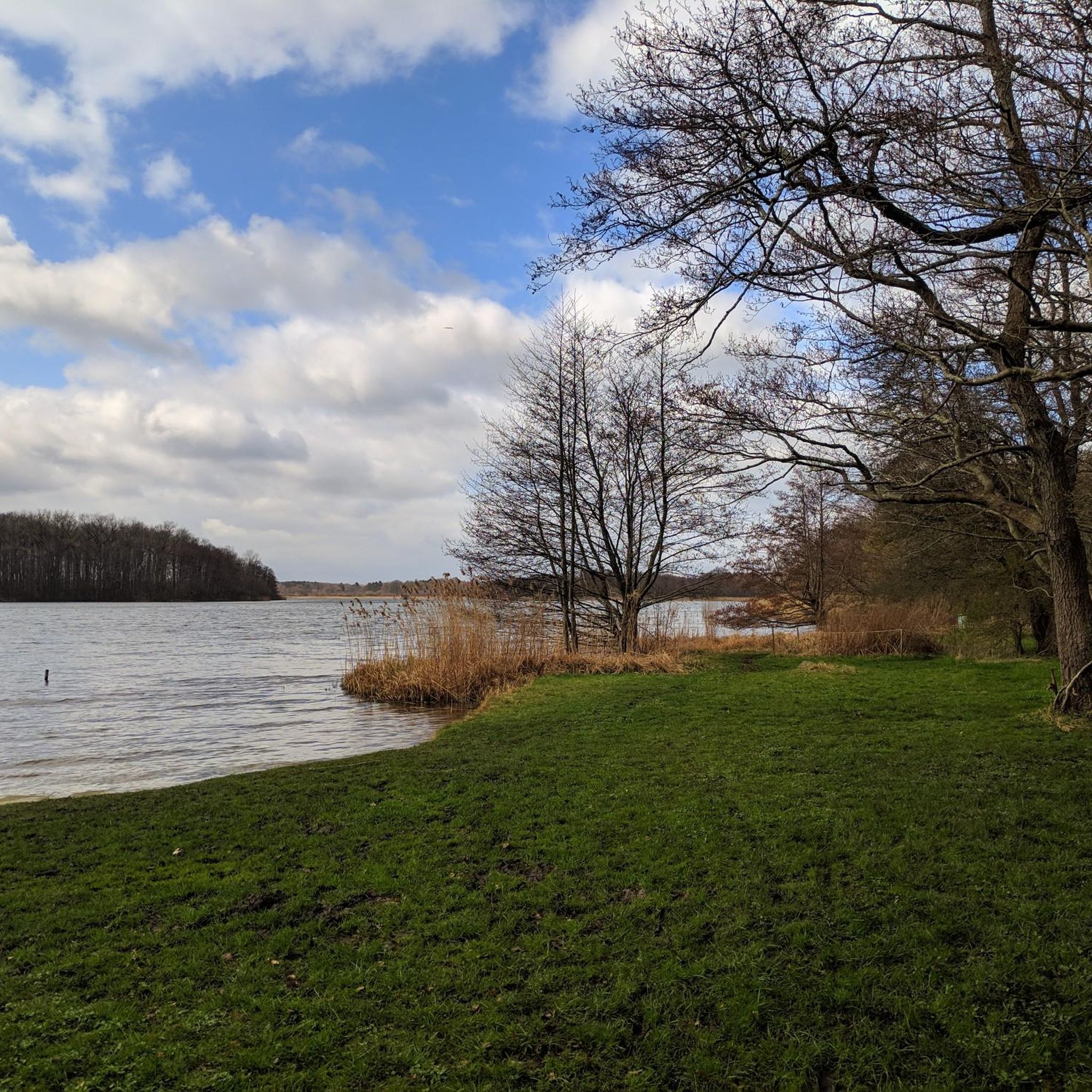
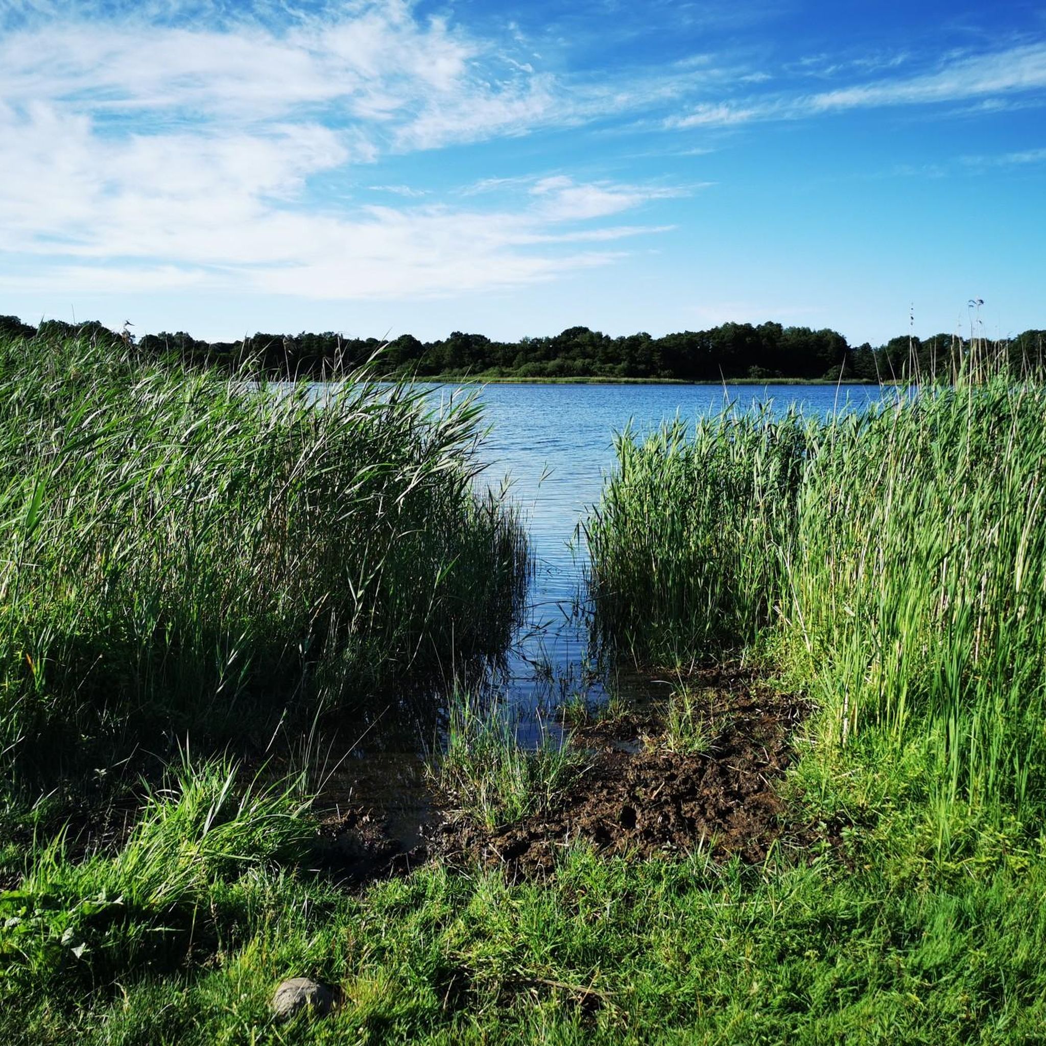


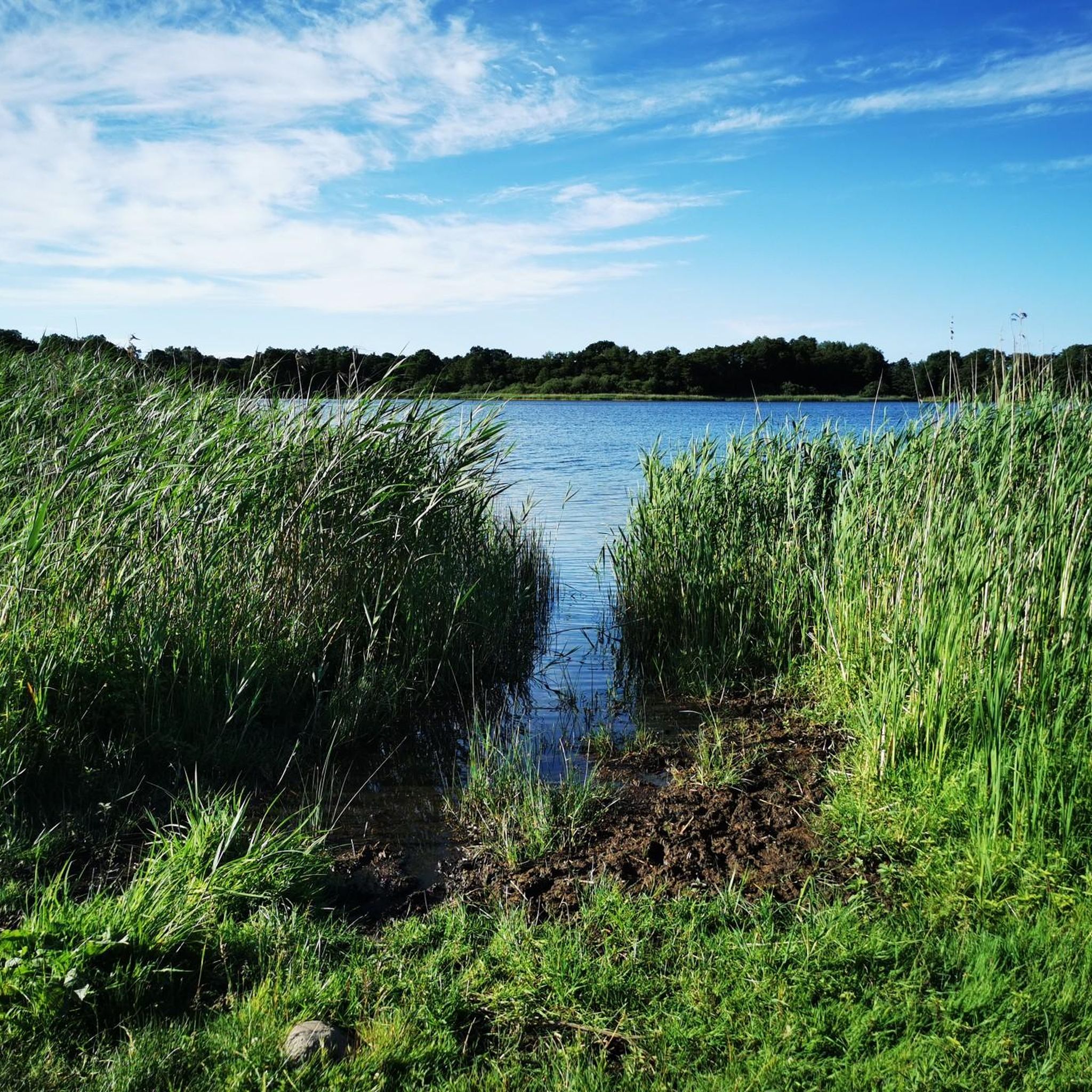
커뮤니티 팁

이 구간은 건조할 때만 걷기 좋으며, 장기간 비가 오거나 해빙기에는 부분적으로는 방수 장화 없이는 통과할 수 없습니다.
0
0

The Westensee was formed as a tongue basin at the end of the last ice age, the Weichselian Ice Age. Dead ice and excavation by the glacier caused the chambering of the lake basin.[1] The basin is surrounded by high terminal moraine ridges. In the south it is bordered by the Tüteberg (height 88 m above sea level).
0
0
The municipality of Westensee offers the use of a barbecue area with tables, benches and a covered barbecue, including toilet facilities and electricity connection, at the western end of the Westensee for a fee.
1
0
The Westensee is used as a recreational waterway, although motor vehicles are not permitted. Use by non-motorized recreational boats is regulated. You can cross the lake along the Eider, but you must either live in a neighboring community or pay a user fee to travel on the lake.[2][3] The lake has bathing areas in the towns of Westensee[4], Hohenhude[5], Wrohe[6] and Wulfsfelde
1
0
The construction of the Kiel Canal at the end of the 19th century led to a reduction in the water level of the lake by around 75 cm. The former shoreline is still visible in many areas of the shore. The areas that were dried out by the reduction are now mostly swampy and overgrown with marshland. In particular, the nearby peat lake has now completely disappeared.
1
0
The Westensee (elevation 6 m above sea level) is located in the Achterwehr district in the Rendsburg-Eckernförde district. It is the fifth largest lake in Schleswig-Holstein and is characterized as a lime-rich lowland lake with a relatively large catchment area without pronounced temperature stratification. With its location between the cities of Kiel and Rendsburg, it forms the center of the Westensee Nature Park. It drains into Schleswig-Holstein's largest river, the Eider, and also reaches the Kiel Canal via the Achterwehr shipping canal.
1
0
The landscape conservation area is located in the north of the Altmark district of Salzwedel and includes the Arendsee as well as parts of the forest and grassland areas to the north. The villages of Arendsee, Genzien, Zießau and Ziemendorf are affected by the landscape conservation area.
4
1
The Westensee (elevation 6 m above sea level) is located in the Achterwehr district in the Rendsburg-Eckernförde district. It is the fifth largest lake in Schleswig-Holstein and is characterized as a lime-rich lowland lake with a relatively large catchment area without pronounced temperature stratification. With its location between the cities of Kiel and Rendsburg, it forms the center of the Westensee Nature Park. It drains into Schleswig-Holstein's largest river, the Eider, and also reaches the Kiel Canal via the Achterwehr shipping canal.
4
1
아렌제 주변에서 가장 인기 있는 명소


더 살펴보기
찾고 있는 하이라이트를 아직 못 찾으셨나요? 다른 지역의 주요 명소 가이드를 확인해보세요:
