경로플래너기능업데이트
App
로그인 또는 가입
앱 다운로드
로그인 또는 가입
경로
Places to see
Mountain passes
독일
바덴뷔르템베르크
프라이부르크 지구
호흐슈바르츠발트
브라이스가우-호흐슈바르츠발트

귄델핑겐

귄델핑겐‬에서 가장 멋진 ‪6‬개의 산길

귄델핑겐에서 가장 멋진 산길을 아래에서 살펴보세요. 풍경을 감상하기에도 좋고, 오르막길/내리막길을 따라 걷기에도 좋은 곳이랍니다. 커뮤니티가 특별 도움을 통해 공유한 콘텐츠인 만큼 믿을 수 있는 정보이니 마음에 드는 산길이 있다면 바로 다음 모험 계획에 추가해서 바로 방문해보세요.

마지막 업데이트: 10월 11, 2026

발트키르히에서 칸델 오르막

하이라이트 (구간) • 산악 고개

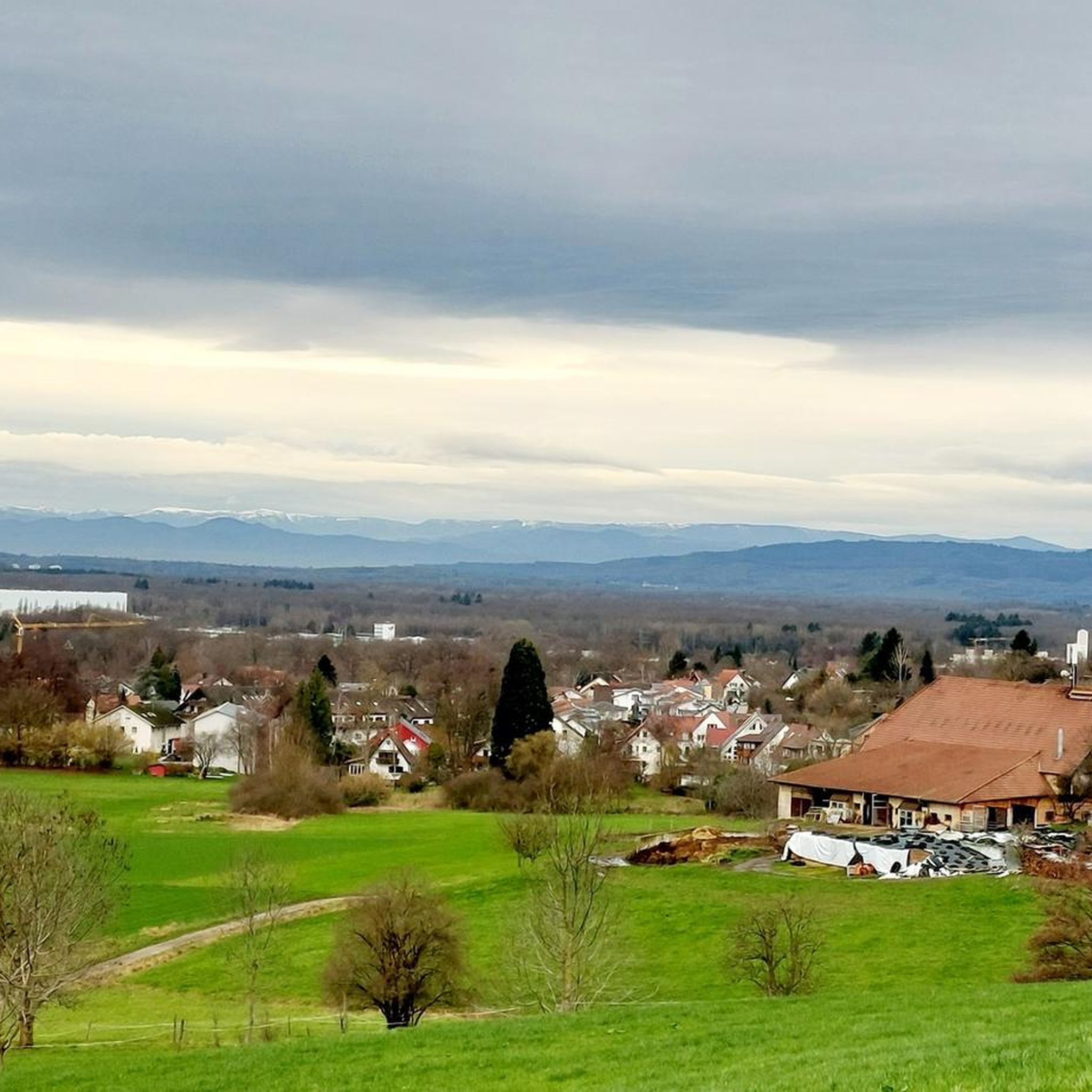
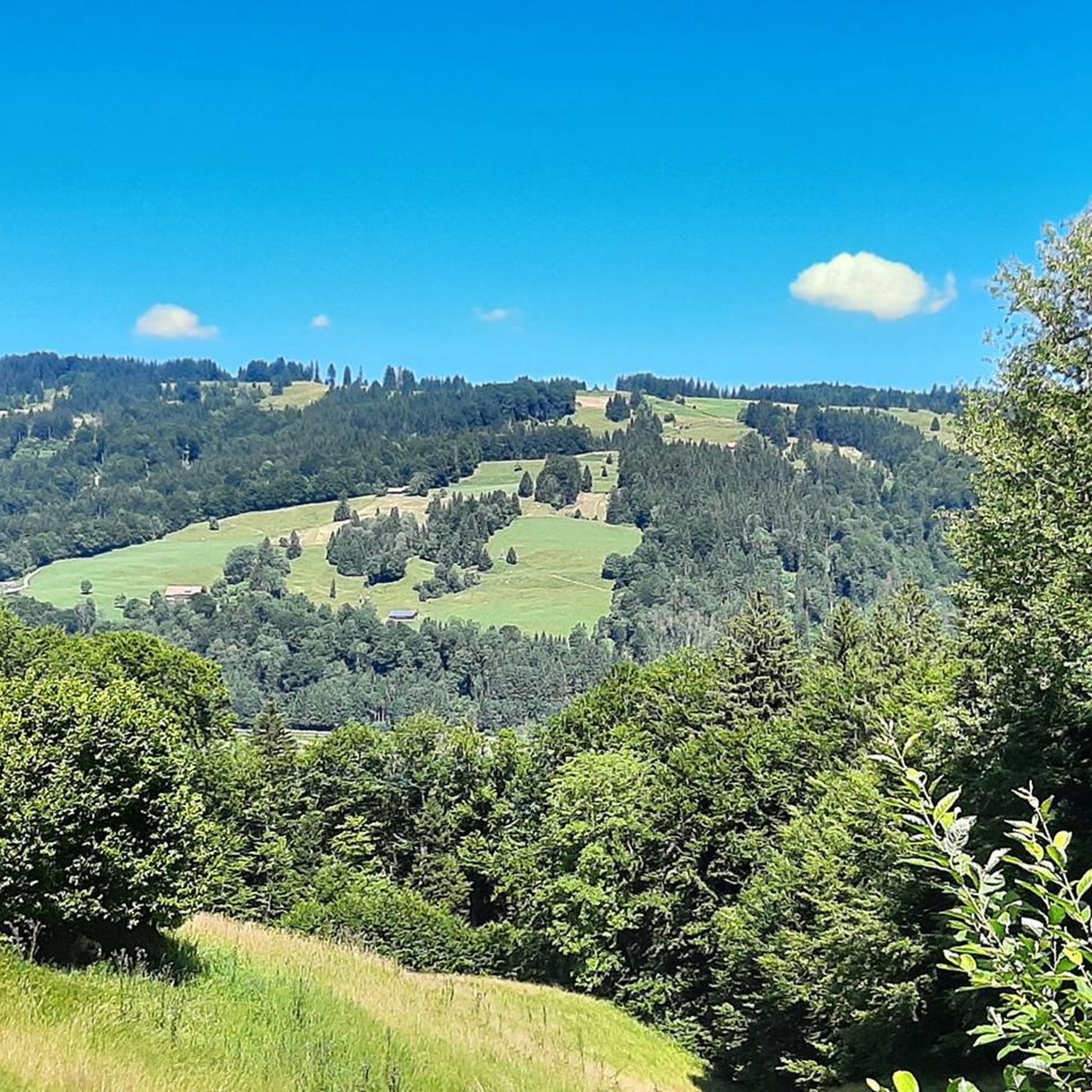
The 1,241-meter-high Kandel is considered a popular local mountain in Waldkirchen. It's undoubtedly one of the best passes I've ever ridden in Germany. But also certainly one of the toughest. …

번역자 Google •

팁에 의해

라이딩 보기휴대폰으로 전송
저장
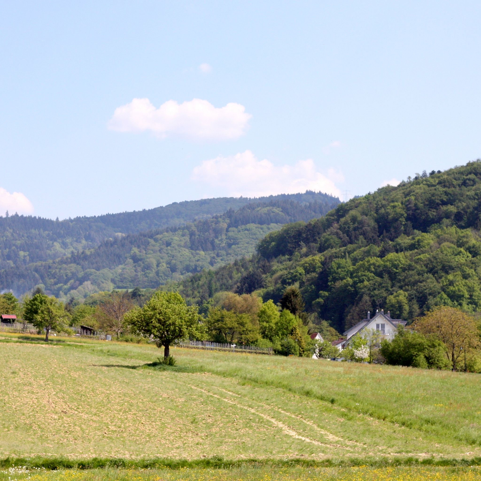
Easy to drive road with not too much traffic past meadow slopes.

번역자 Google •

팁에 의해

저장

이런 장소를 발견하려면 지금 가입하세요

최고의 싱글 트랙, 봉우리 및 다양한 흥미로운 야외 장소에 대한 추천을 받아보세요.

무료 회원 가입

린덴뷜 전망대

하이라이트 • 전망대

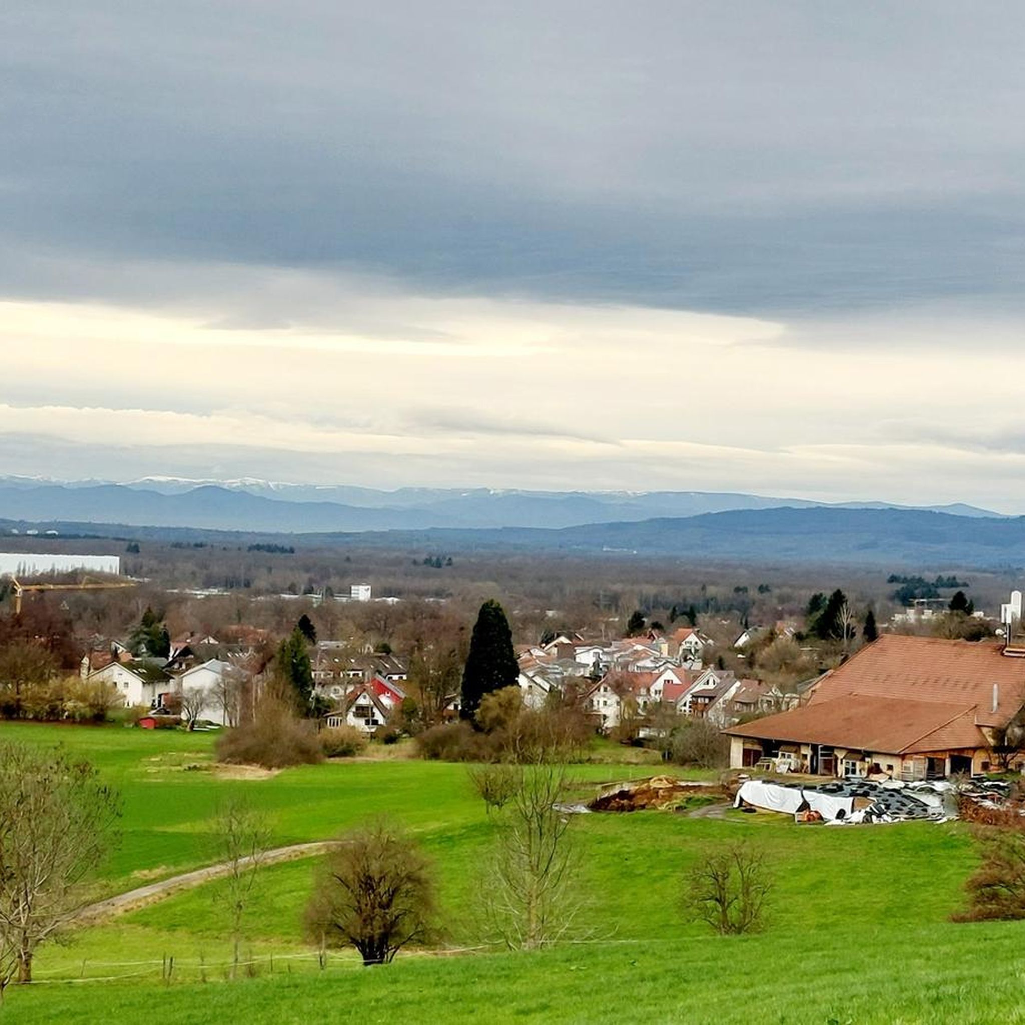
The Lindenbühl is a hill between a tributary of Litzenwälderbächles and the Harnischwälderbächlli, a tributary of the coal stream that flows towards Waldkirch. Directly below the Buehls is the "Linde", …

번역자 Google •

팁에 의해

저장
Kandel = the shining, is a Celtic name, now looks beautiful from below Green above in the sun shining white.

번역자 Google •

팁에 의해

저장

파노라마 전망이 있는 Schauinsland 도로 오르막길

하이라이트 (구간) • 산악 고개

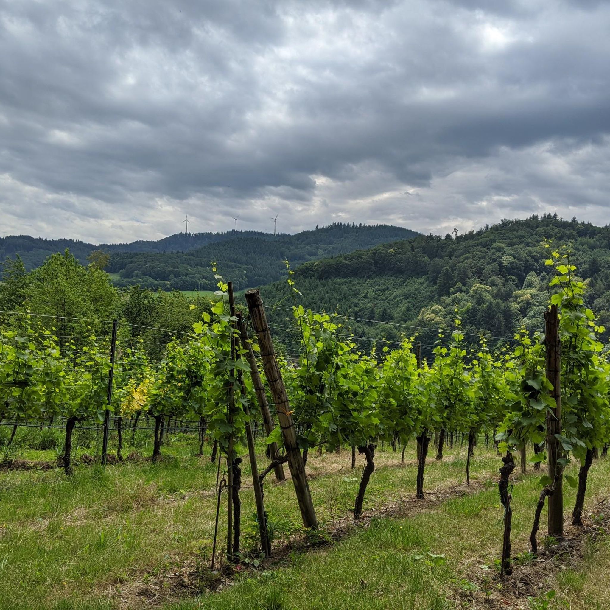
Unfortunately very busy and very popular with the motorized two-wheeler. Better to tackle on Sundays or public holidays, since the route is closed for motorcycles and then better in the morning before the excursion traffic rolls up.

번역자 Google •

팁에 의해

저장

무료로 가입하여 귄델핑겐 주변의 더 많은 산악 고개를 발견하세요.

무료 회원 가입

이미 komoot 계정이 있나요?

오늘 무료 계정으로 시작하세요

다음 모험이 기다리고 있어요.
로그인 또는 가입하기

귄델핑겐 주변 인기 장소

Erst biken, dann baden – Erfrischende Radtouren rund um Freiburg

귄델핑겐 로드 사이클링 경로

귄델핑겐 하이킹

귄델핑겐 사이클링

귄델핑겐 러닝 트레일

귄델핑겐 MTB 트레일

귄델핑겐 주변 그래블 라이딩

귄델핑겐 주변의 다른 모험

Erst biken, dann baden – Erfrischende Radtouren rund um Freiburg

사이클링 컬렉션 에 의해

Epassi Deutschland

커뮤니티 팁

Bruddelbär alias Ralf Sch.✔️🇩🇪
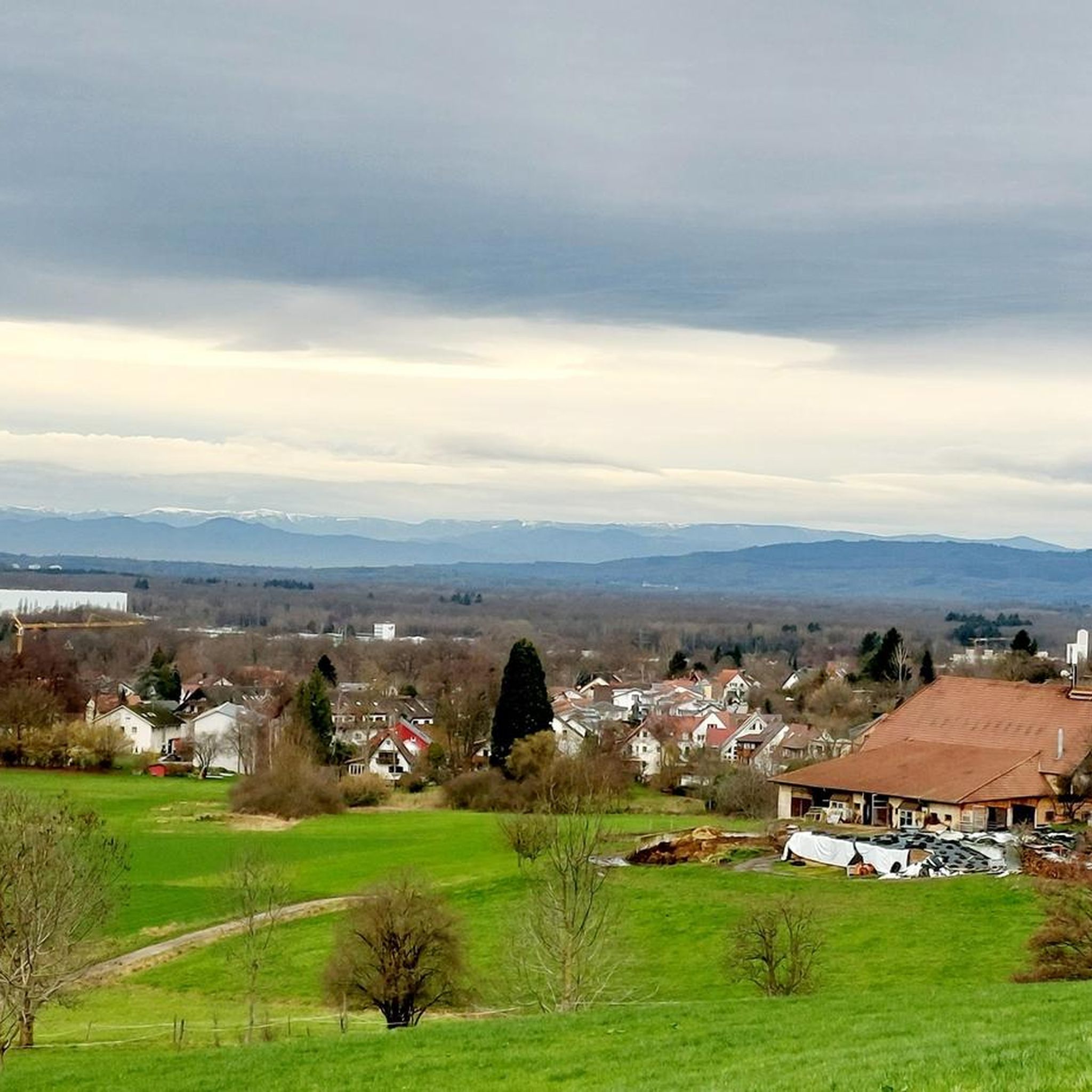
5월 26, 2024, View of the Elz River and Black Forest Mountains

it's worth it

번역: Google•

0

3

Beautiful view - great scenery

번역: Google•

0

1

The sign says 18%. Yes, I just made it.

번역: Google•

2

0

18% says the sign. I feel like there are even more *lol*

번역: Google•

2

0

The incline is moderate, but about 10km long. The surface is ..... So it's best to go up here and not down.

번역: Google•

2

0

The road to the top of the pass is very steep on both sides. At the top it goes left and right on rough gravel similarly steep.

번역: Google•

2

0

Exit towards Koppenbach

번역: Google•

0

1

10km uphill with an average gradient of almost 10%, that's something. That separates the chaff from the wheat, as the saying goes.

번역: Google•

4

0

귄델핑겐 주변에서 가장 인기 있는 경로

귄델핑겐 로드 사이클링 경로

귄델핑겐 주변에서 가장 인기 있는 명소

Places to see

Store rating

komoot 모바일 앱으로 영감을 받아보세요

무료 komoot 계정로 끝없는 야외 모험을 손쉽게 찾고, 맞춤 설정하며 길안내할 수 있어요.

또는

지금 komoot에 가입하세요
Store rating

더 살펴보기

이 가이드를 통해 더 많은 장대한 산악 통과를 확인해보세요 귄델핑겐 주변:

뮌스터탈/슈바르츠발트3 월움키르히메르딩겐브라이자흐 암 라인오버리드스타우펜 임 브리스가우펠드버그아이히슈테텐뵈칭겐고텐하임포그츠부르크 임 카이저스툴이링겐에렌키르헨부헨바흐슐루흐제렌츠키르히브라이트나우티티제-노이슈타트힌터자르텐술츠부르크키르히자르텐뮐하임바덴바일러볼슈바일호벤슈테겐세인트 메르겐비트나우상트 피터에브링겐발레히텐-도팅겐파펜바일러글로터탈메르츠하우젠샬슈타트바트 크로징겐하이터샤임아이젠바흐부깅겐호이바일러아우겐

근처 어드벤처 가이드

호이바일러 즐길거리

background

새로운 정복을 위한 준비를 하세요

무료로 가입하기
탐험하기
경로경로 플래너기능바우처 사용하이킹MTB 트레일로드 사이클링 경로바이크패킹사이트맵
앱 다운로드
소셜 미디어에서 팔로우하기

© komoot GmbH

개인 정보 보호 정책