슈테겐에서 가장 멋진 12개의 산길
슈테겐에서 가장 멋진 산길을 아래에서 살펴보세요. 풍경을 감상하기에도 좋고, 오르막길/내리막길을 따라 걷기에도 좋은 곳이랍니다. 커뮤니티가 특별 도움을 통해 공유한 콘텐츠인 만큼 믿을 수 있는 정보이니 마음에 드는 산길이 있다면 바로 다음 모험 계획에 추가해서 바로 방문해보세요.
마지막 업데이트: 10월 11, 2026

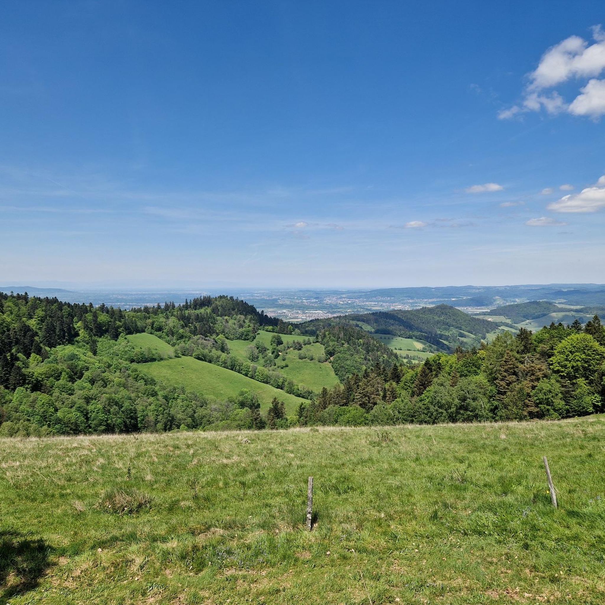
샤우인슬란트에서 본 전망
하이라이트 • 전망대
번역자 Google •
팁에 의해

이런 장소를 발견하려면 지금 가입하세요
최고의 싱글 트랙, 봉우리 및 다양한 흥미로운 야외 장소에 대한 추천을 받아보세요.
링켄자텔까지 이어지는 구불구불한 길
하이라이트 (구간) • 트레일
번역자 Google •
팁에 의해

발트키르히에서 칸델 오르막
하이라이트 (구간) • 산악 고개
번역자 Google •
팁에 의해
가이어스네스트/게르스텐할메크 고개 (820m)
하이라이트 • 산악 고개
번역자 Google •
팁에 의해
무료로 가입하여 슈테겐 주변의 더 많은 산악 고개를 발견하세요.
이미 komoot 계정이 있나요?
오늘 무료 계정으로 시작하세요
다음 모험이 기다리고 있어요.


커뮤니티 팁


We cycled the entire Hochschwarzwald panoramic cycle path and rode this section from Titisee up and then down to Freiburg. We can therefore confirm that it is always uphill to the Rinkensattel rest area and then downhill from the top towards Freiburg. It was a great and fast descent. Tip: The brakes must be in perfect condition, otherwise change the brake pads for new ones beforehand.
0
0


the upper part is gravel. Which weak mats???? Otherwise the descent is great. The ascent is probably very, very exhausting.
3
4
The incline is moderate, but about 10km long. The surface is ..... So it's best to go up here and not down.
2
0
10km uphill with an average gradient of almost 10%, that's something. That separates the chaff from the wheat, as the saying goes.
4
0

After the last few houses really steep, but beautiful. After 3 km you have achieved most of it, the last kilometer is then more comfortable to drive. The last part is not paved, but good fine gravel. Carless!
1
0

The hut is an alpine restaurant at an altitude of 1120 meters to the east below the Hinterwaldkopf (1198 m). There are open and sunny mountain meadows around the hut. The Dr. Ganter economic road. Dr. Ganter was a forestry council on whose initiative a logging path into the Zastlertal was built. The nearby Hinterwaldkopf offers beautiful views of the region, especially of the Dreisamtal. In December 1994 the old Hinterwaldkopf hut burned down to the ground. The Weilersbacher pasture community spared neither expense nor effort to rebuild the Hinterwaldkopf hut. The current building was created after two years of work. In old maps, the hut is often referred to as the Weilersbacher Viehhütte.
4
0


더 살펴보기
이 가이드를 통해 더 많은 장대한 산악 통과를 확인해보세요 슈테겐 주변:
