키르히자르텐에서 가장 멋진 19개의 산길
키르히츠아르텐 주변의 최고의 산길은 남부 슈바르츠발트 지역의 루트를 탐험하기 위한 출발점 역할을 합니다. 이 지역은 드라이잠 계곡에 위치하며 다양한 지형으로의 접근을 제공합니다. 이 루트들은 특히 사이클링과 하이킹 등 다양한 야외 활동을 위한 옵션을 제공합니다. 이 지역은 아름다운 풍경과 도전적인 오르막길이 혼합되어 있습니다.
키르히츠아르텐 주변의 최고의 산길
- 가장 인기 있는 산길은 샤우인스란트 전망대로, 해발 1,284미터에서 파노라마 전망을 제공하며, 산길 자체는 1,202미터에 있습니다. 맑은 날에는 보주 산맥과 스위스 알프스까지 보입니다.
- 또 다른 꼭 봐야 할 명소는 1,196미터 고도에 위치한 헛간이자 산길인…
마지막 업데이트: 8월 19, 2026
그뤼블 안부 (펠트베르크 산괴)
하이라이트 • 산악 고개
번역자 Google •
팁에 의해


이런 장소를 발견하려면 지금 가입하세요
최고의 싱글 트랙, 봉우리 및 다양한 흥미로운 야외 장소에 대한 추천을 받아보세요.
무료 회원 가입

링켄자텔까지 이어지는 구불구불한 길
하이라이트 (구간) • 트레일
번역자 Google •
팁에 의해

에두아르트회헤 (859 m)
하이라이트 • 전망대
번역자 Google •
팁에 의해

무료로 가입하여 키르히자르텐 주변의 더 많은 산악 고개를 발견하세요.
무료 회원 가입
이미 komoot 계정이 있나요?
오늘 무료 계정으로 시작하세요
다음 모험이 기다리고 있어요.
로그인 또는 가입하기
키르히자르텐 주변 인기 장소
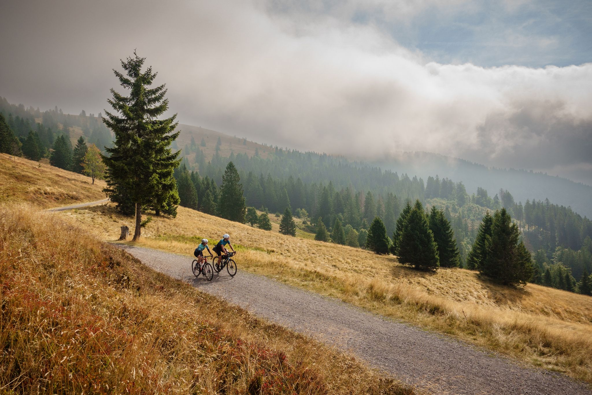
Nature, mountains and freedom – gravel and cycle Tours in the Black Forest
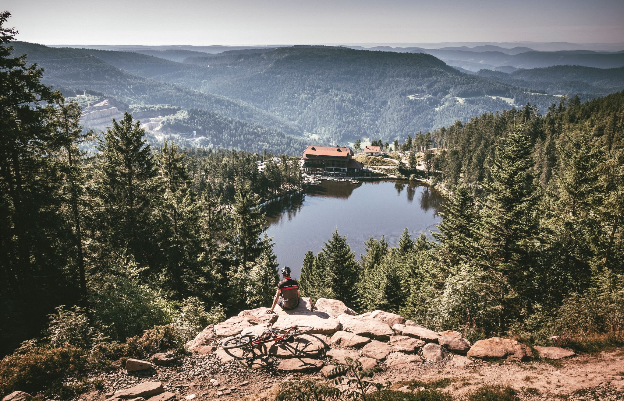
Your Gravel Summer – refreshing rides in the Black Forest
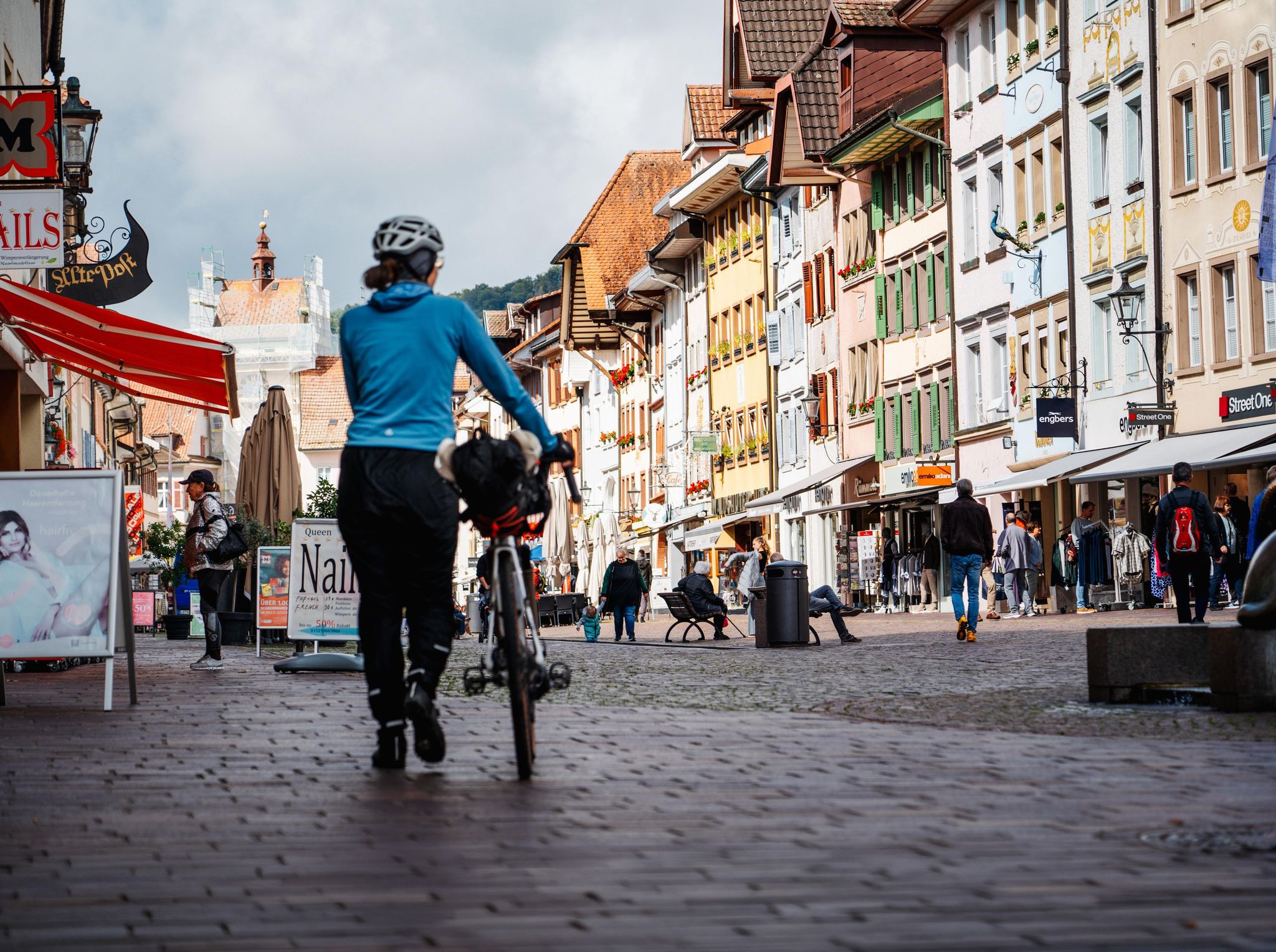
Adventure on two wheels – overnight cycling trips in Baden-Württemberg
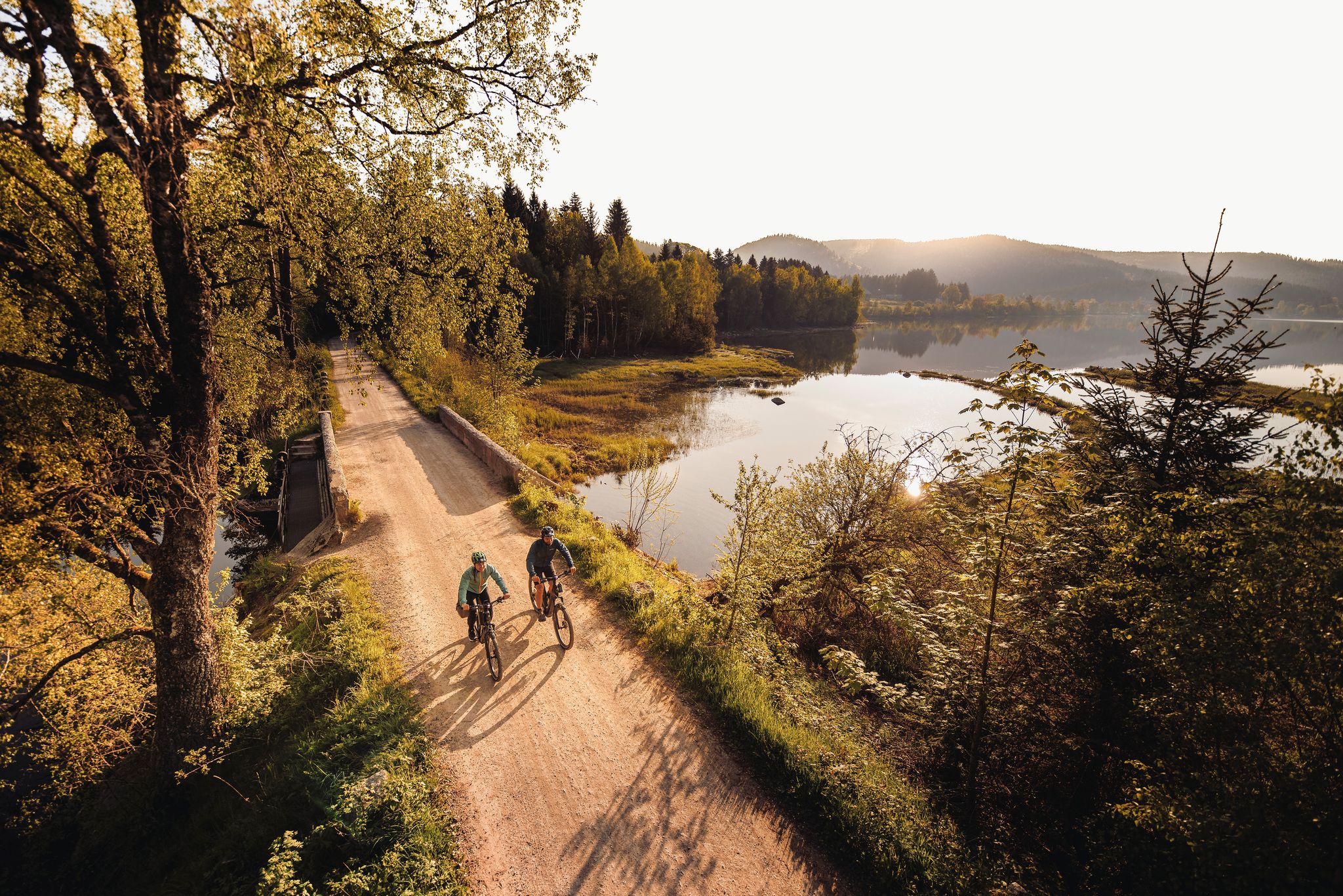
By the water – along the rivers and lakes of the Black Forest
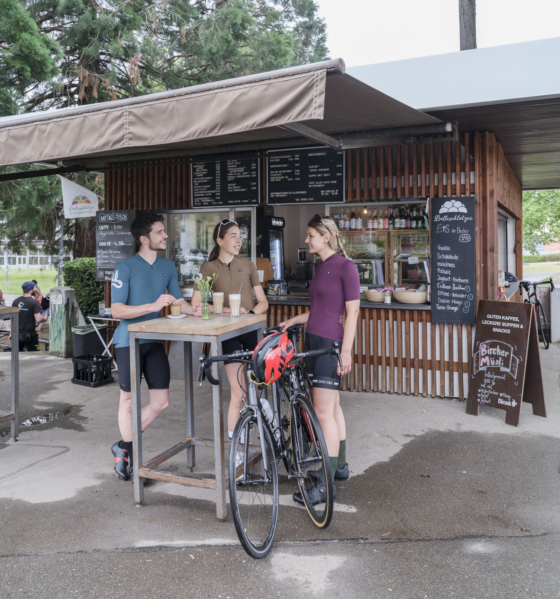
Espresso, ice cream and racing bikes – a dream mix in the Black Forest
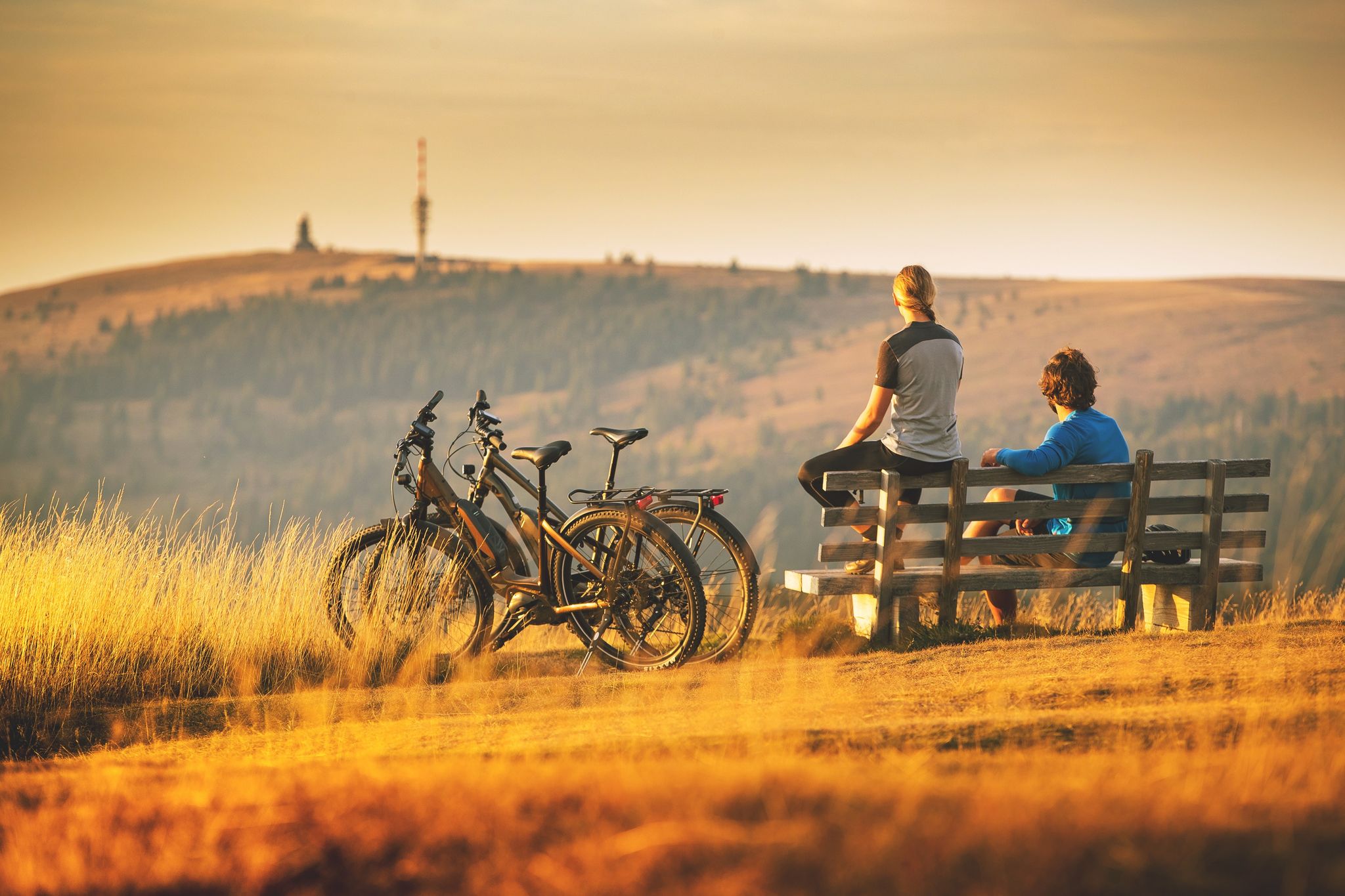
Sunny rides up to heights in the Black Forest
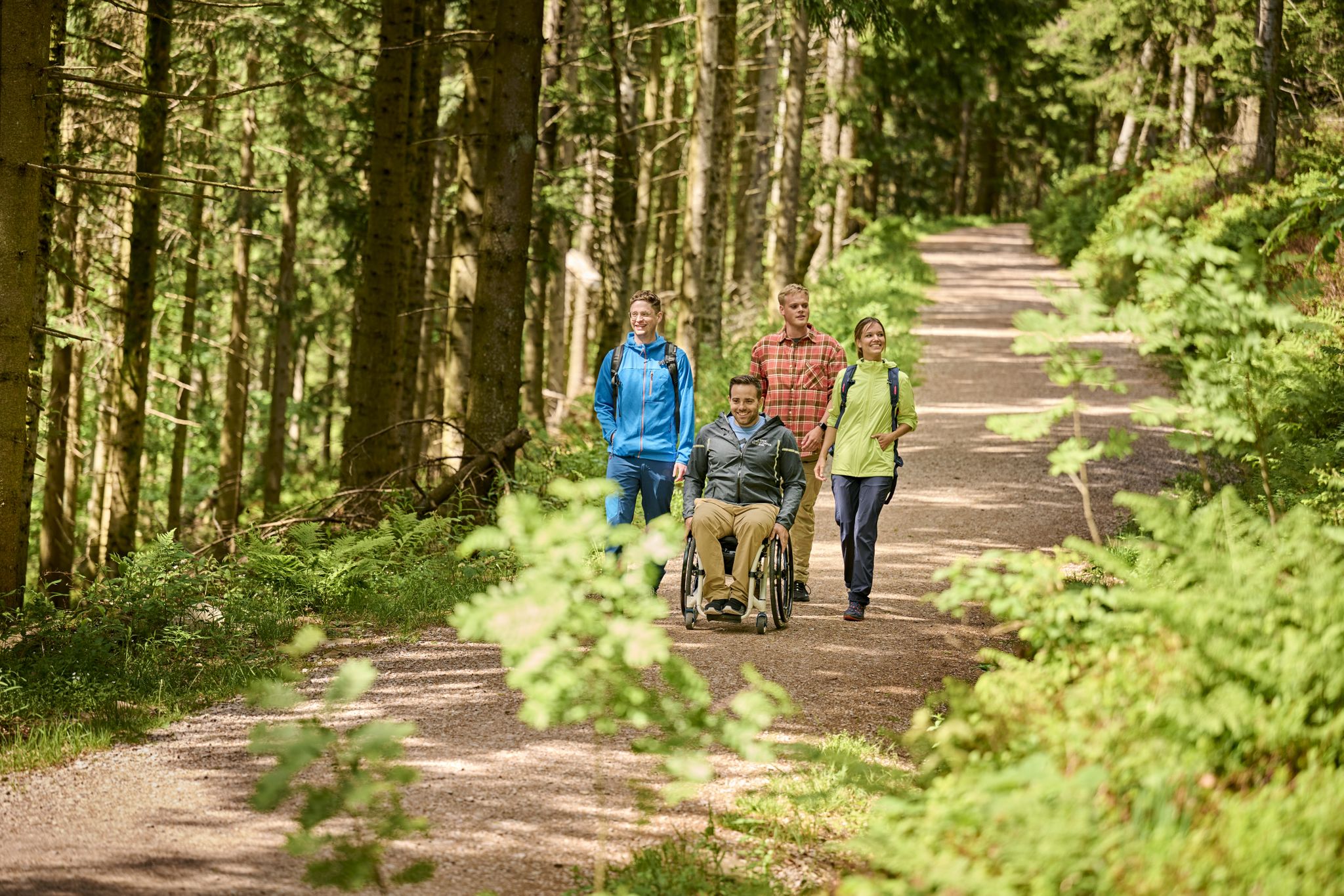
Accessible hiking routes in Baden-Württemberg
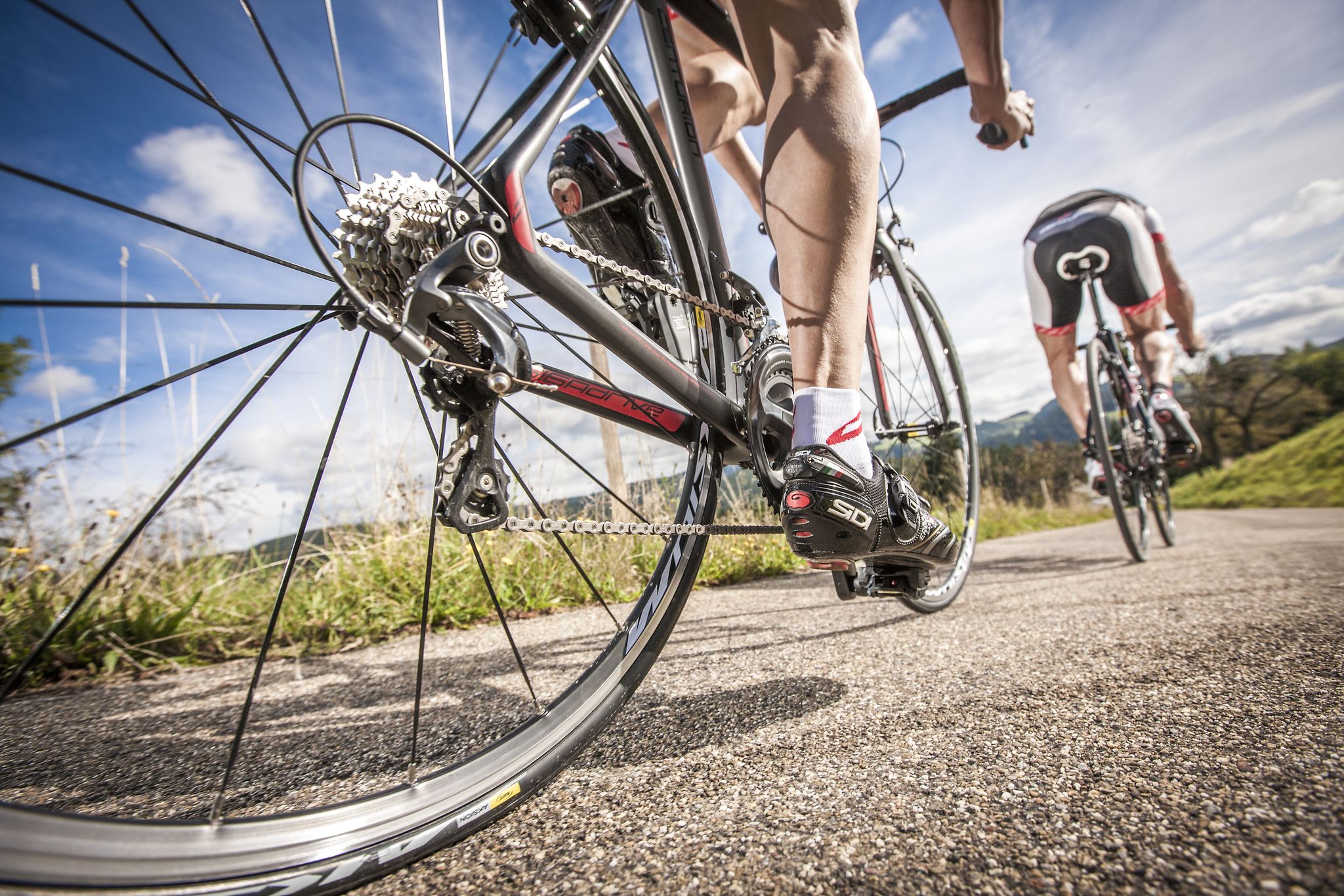
Ride legendary training passes in the Black Forest
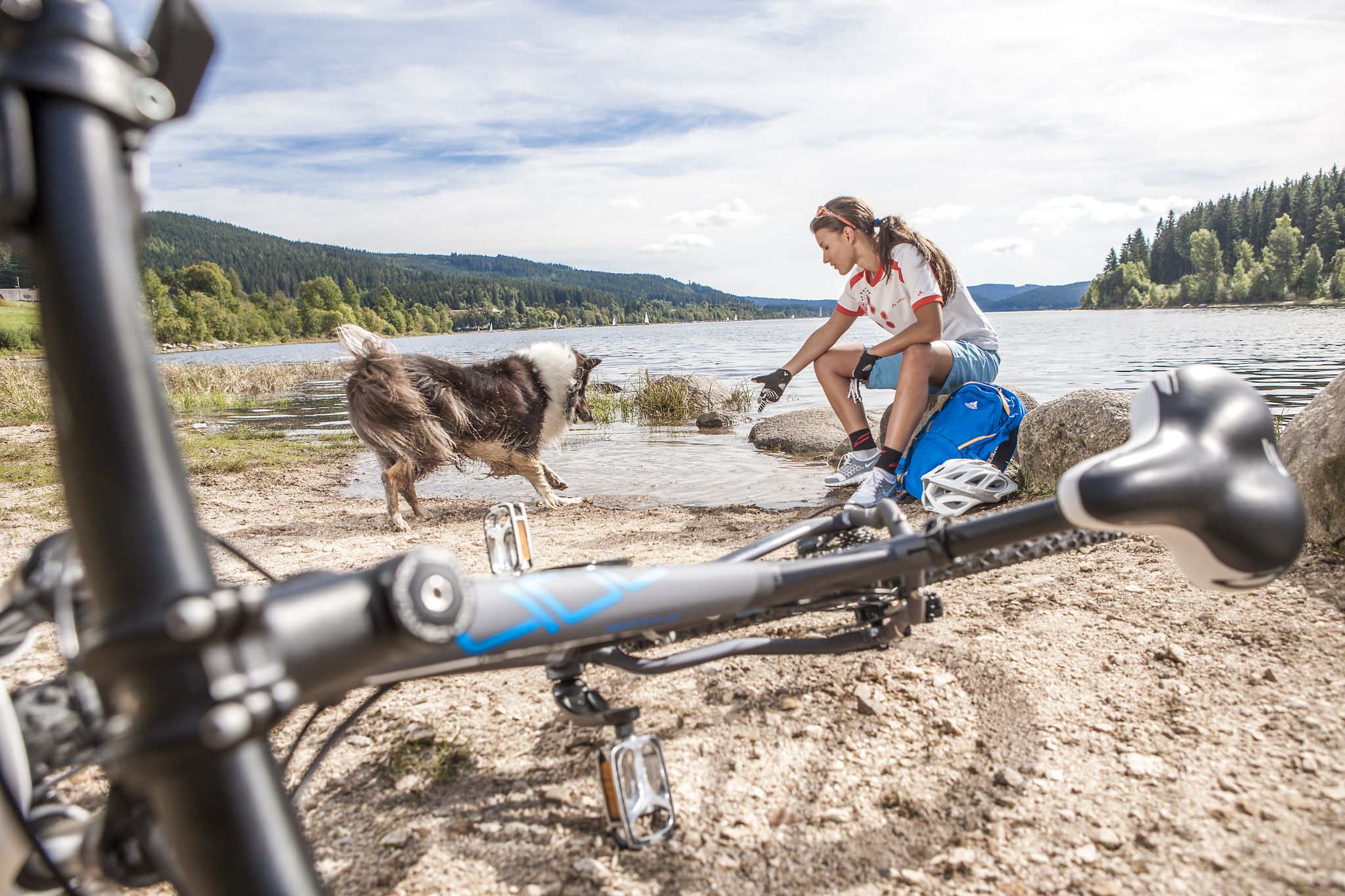
Panoramas, trails and lake hopping – biking in the Black Forest
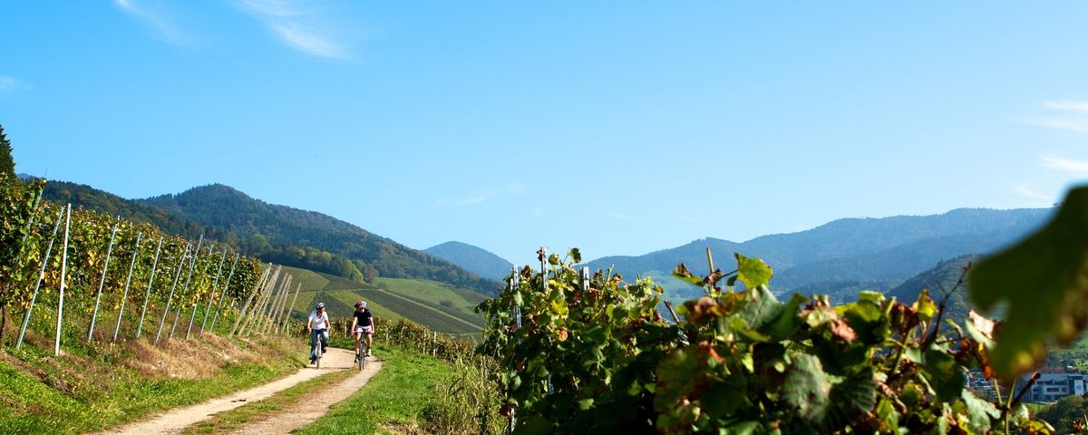
The Black Forest — Cycling in the realm of the "Bollenhüte"


커뮤니티 팁

We cycled the entire Hochschwarzwald panoramic cycle path and rode this section from Titisee up and then down to Freiburg. We can therefore confirm that it is always uphill to the Rinkensattel rest area and then downhill from the top towards Freiburg. It was a great and fast descent. Tip: The brakes must be in perfect condition, otherwise change the brake pads for new ones beforehand.
0
0


the upper part is gravel. Which weak mats???? Otherwise the descent is great. The ascent is probably very, very exhausting.
3
4
The Rinken at 1196 m altitude or the pass of the same name is located at the northern foot of the Feldberg. The ascent from Oberried (on the Notschrei north ramp) through the deep Zastlertal is certainly one of the toughest climbs that the Black Forest has to offer for racing bikes. In the upper area the road is not asphalted for a few hundred meters - but the forest path is easy to ride on a racing bike.
4
0

Even when there is snow, you often have a surprisingly good chance of getting up via Günterstal/Horben on open roads. The views over the white landscape reward the journey.
2
0

Our weather quickly turned to rain. Always be prepared for rain!
5
0

There is the possibility to get to the highest point of the Feldberg via the gravel path or a tar path.
4
0

From here you have a beautiful view
10
0
키르히자르텐 주변에서 가장 인기 있는 명소


더 살펴보기
이 가이드를 통해 더 많은 장대한 산악 통과를 확인해보세요 키르히자르텐 주변:
