비텐되프에서 가장 멋진 20개의 천연기념물
천연기념물을 방문하여 비텐되프의 아름다운 풍경을 만나보세요. 비텐되프에 있는 20
개의 천연기념물과 상세 정보를 살펴본 후에 방문하고 싶은 천연기념물을 다음 모험 계획에 추가해보세요!
마지막 업데이트: 9월 1, 2026
자렌틴 이탄 체험 탐방로
하이라이트 (구간) • 트레일
deinostseeurlaub.de/erholung-im-biosphaerenreservat-schaalsee/?cn-reloaded=1
번역자 Google •
팁에 의해

Strangendamm 다리
하이라이트 • 다리
번역자 Google •
팁에 의해

이런 장소를 발견하려면 지금 가입하세요
최고의 싱글 트랙, 봉우리 및 다양한 흥미로운 야외 장소에 대한 추천을 받아보세요.
무료 회원 가입
Schaalelauf 습지 전망대
하이라이트 • 전망대
번역자 Google •
팁에 의해
차렌틴 습지 체험로 (Zarrentin Moor Discovery Trail)
하이라이트 • 트레일
번역자 Google •
팁에 의해

Forstkoppelturm 전망대
하이라이트 • 전망대
You have a great view of the lowlands. Two signs point to the particularity and the wildlife.
번역자 Google •
팁에 의해

무료로 가입하여 비텐되프 주변의 더 많은 자연 기념물을 발견하세요.
무료 회원 가입
이미 komoot 계정이 있나요?
오늘 무료 계정으로 시작하세요
다음 모험이 기다리고 있어요.
로그인 또는 가입하기


커뮤니티 팁

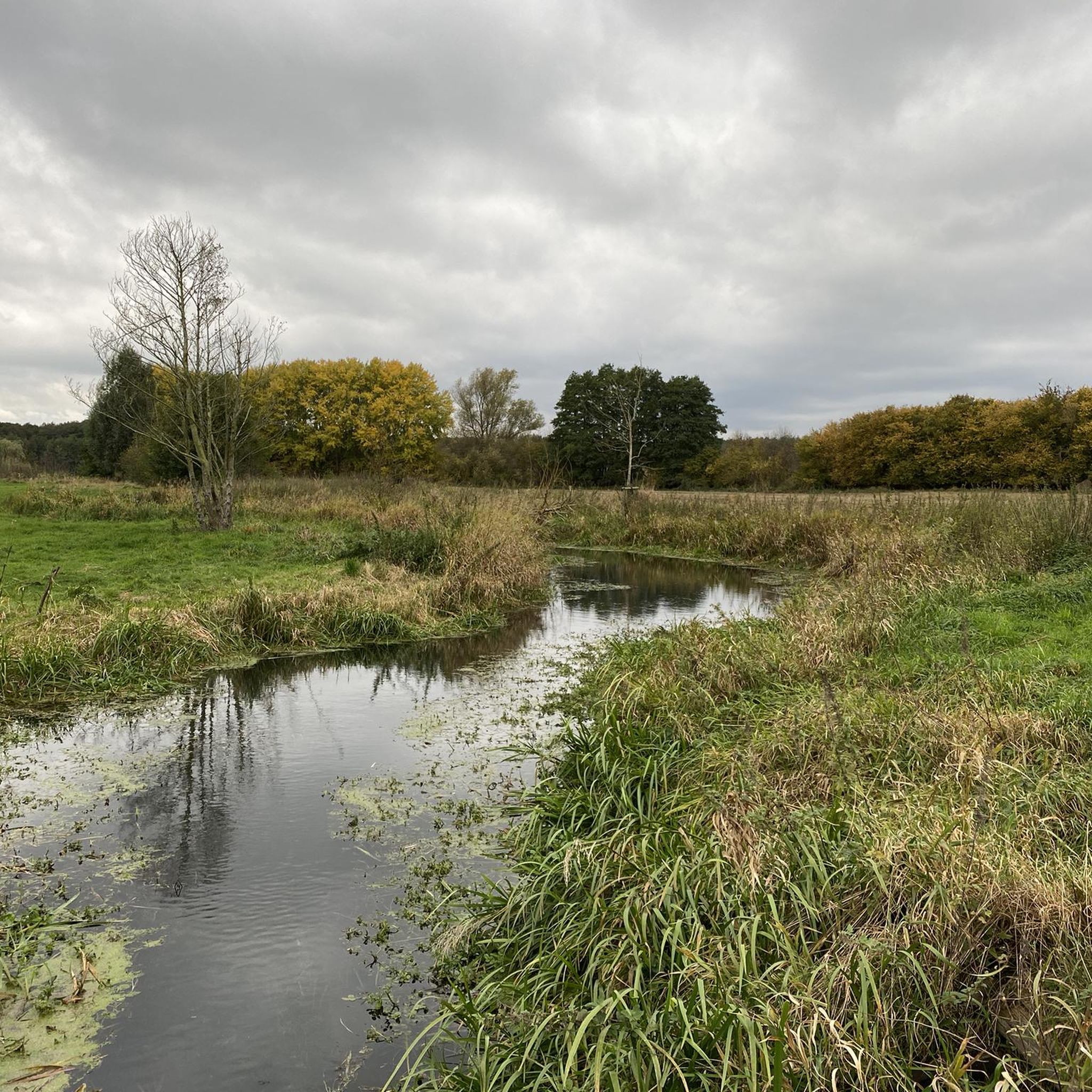
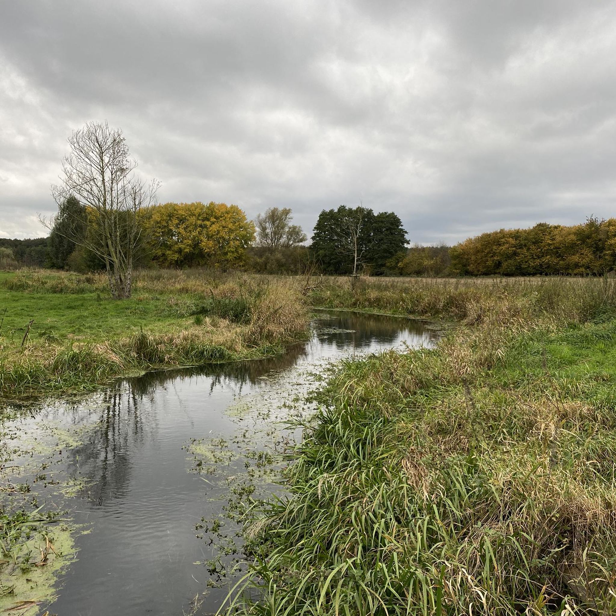
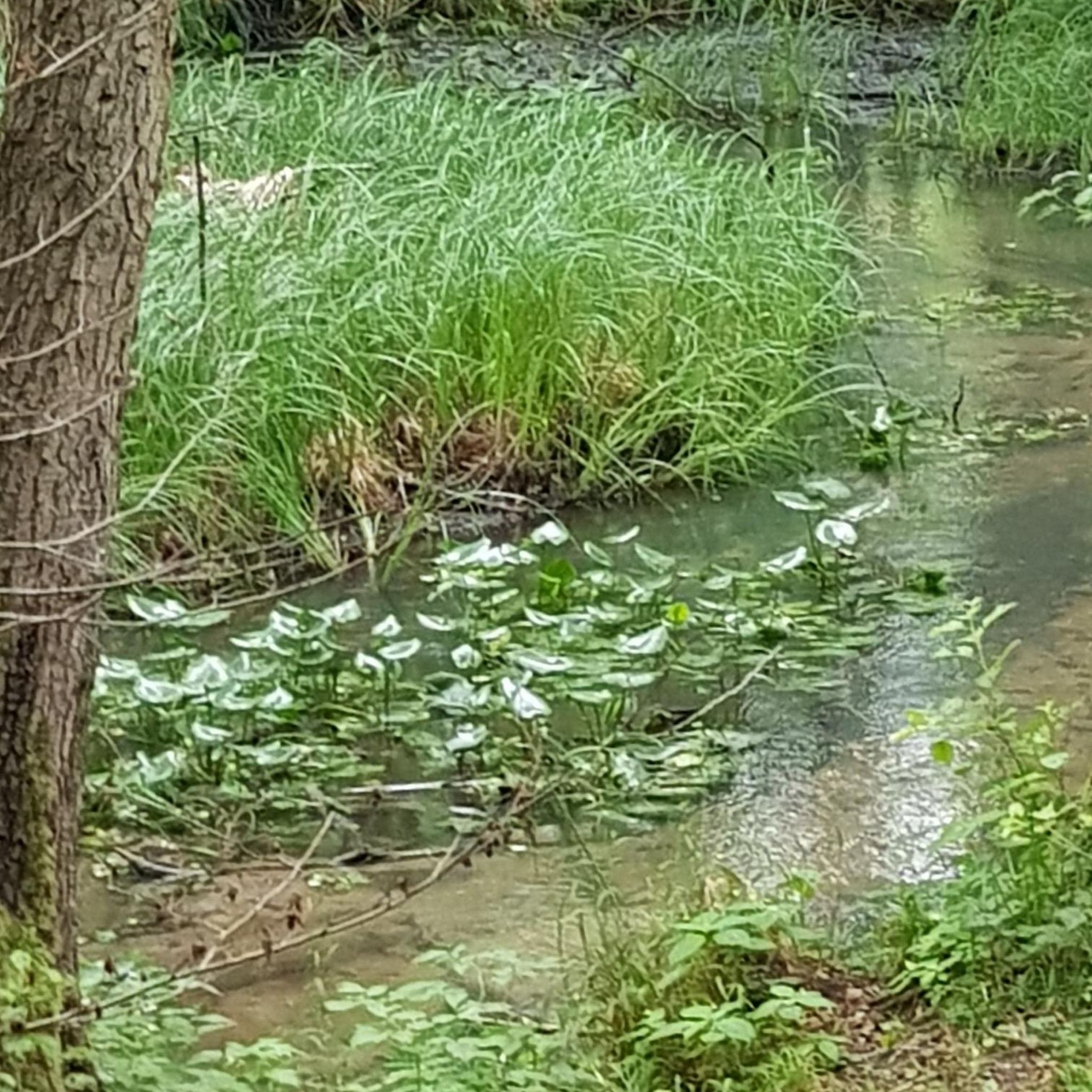
The approximately 670 m long boardwalk offers various viewing platforms that invite you to linger. The moorland experience trail can generally be accessed from both sides. However, it is recommended to start below the Pahlhuus (Pahl House) and then return to the starting point at the end of the nature trail, around the old sports field. The entire circular trail is approximately 1.4 km long and, in my opinion, is wheelchair accessible. The moor provides a habitat for many specially adapted animals and plants. For example, the lime-loving bulrush covers a large area in the Zarrentin Moor; it is rarely seen in such large populations. The long, narrow leaves are slightly serrated at the edges and very hard due to the lime they absorb. This means that if you touch them too firmly, you can injure your fingers. The moorland was a cultivated landscape used by humans for a long time. From 1900 to 1961, lime was mined in the Zarrentin Moor and used as fertilizer or slaked lime. Until 1934, the extracted lime was burned in a lime kiln located on the southern edge of the moor. Peat, which was mined alongside the lime, was used as fuel, among other things. The rush cuttings were mown for the winter until the end of World War II and used as bedding for livestock. The waters created by lime mining are very low in nutrients and thus provide an ideal habitat for stoneworts, rare water beetles, and various dragonflies. Various amphibians, ducks, and birds such as the reed bunting, the reed warbler, and the kingfisher can be found in the reed beds along the shore. Source: https://www.schaalseestadt.de/moorlehrpfad
2
0
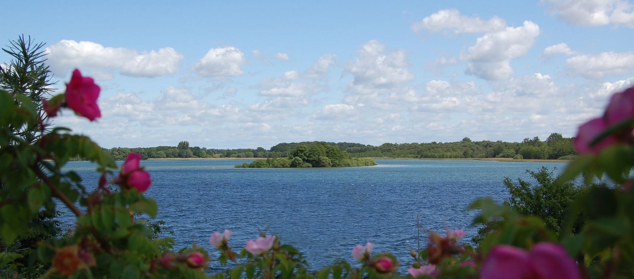
This bridge offers a beautiful view of two lakes: the Schaalsee on one side and the Kirchensee on the other. It is part of the approximately 4 km circular trail around the Kirchensee.
3
0

Here you can take a short break on the way through the moor and enjoy the peace and quiet
0
0

The good view is worth it. A little further towards Schaalsee there is a memorial
1
0


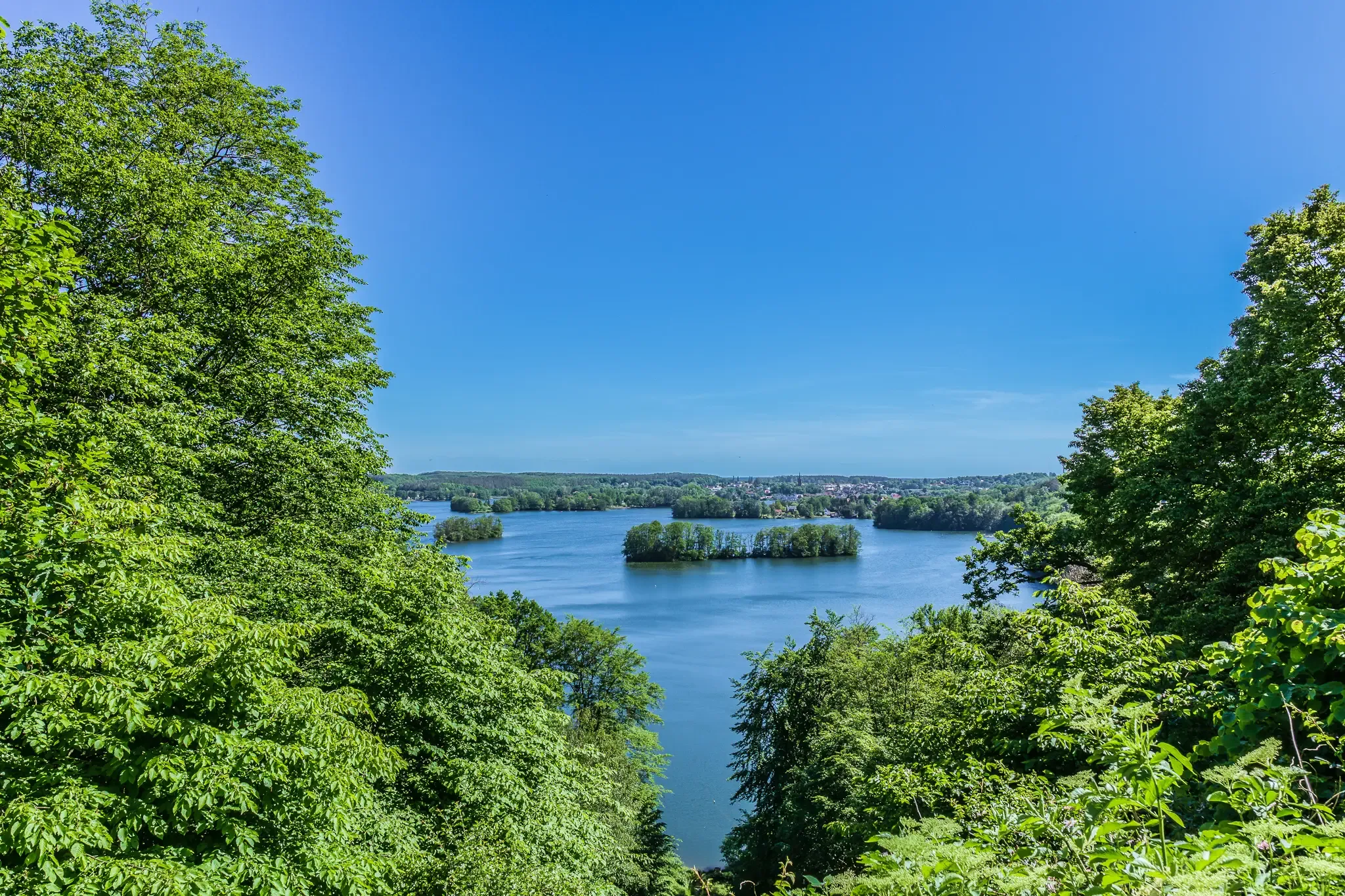
Best all-round view over Kirchensee and Schaalsee
5
0

It's good that places like this keep being created. You can easily waste time here for a while
0
0
비텐되프 주변에서 가장 인기 있는 명소


더 살펴보기
비텐되프 주변의 최고의 동굴을 찾기 위해 이 가이드를 확인해보세요:
