프랑켄넥에서 가장 멋진 10개의 산길
프랑켄넥에서 가장 멋진 산길을 아래에서 살펴보세요. 풍경을 감상하기에도 좋고, 오르막길/내리막길을 따라 걷기에도 좋은 곳이랍니다. 커뮤니티가 특별 도움을 통해 공유한 콘텐츠인 만큼 믿을 수 있는 정보이니 마음에 드는 산길이 있다면 바로 다음 모험 계획에 추가해서 바로 방문해보세요.
마지막 업데이트: 10월 11, 2026
Hahnenschritt 고개 주차장 (해발 565 m)
하이라이트 • 주차장
번역자 Google •
팁에 의해


이런 장소를 발견하려면 지금 가입하세요
최고의 싱글 트랙, 봉우리 및 다양한 흥미로운 야외 장소에 대한 추천을 받아보세요.
콜플라츠 고개와 리터슈타인 69
하이라이트 • 산악 고개
번역자 Google •
팁에 의해

Rotsteig 고개 (340m)
하이라이트 • 산악 고개
번역자 Google •
팁에 의해

칼밋회엔슈트라세 상부 교차로
하이라이트 • 산악 고개
번역자 Google •
팁에 의해

무료로 가입하여 프랑켄넥 주변의 더 많은 산악 고개를 발견하세요.
이미 komoot 계정이 있나요?
오늘 무료 계정으로 시작하세요
다음 모험이 기다리고 있어요.
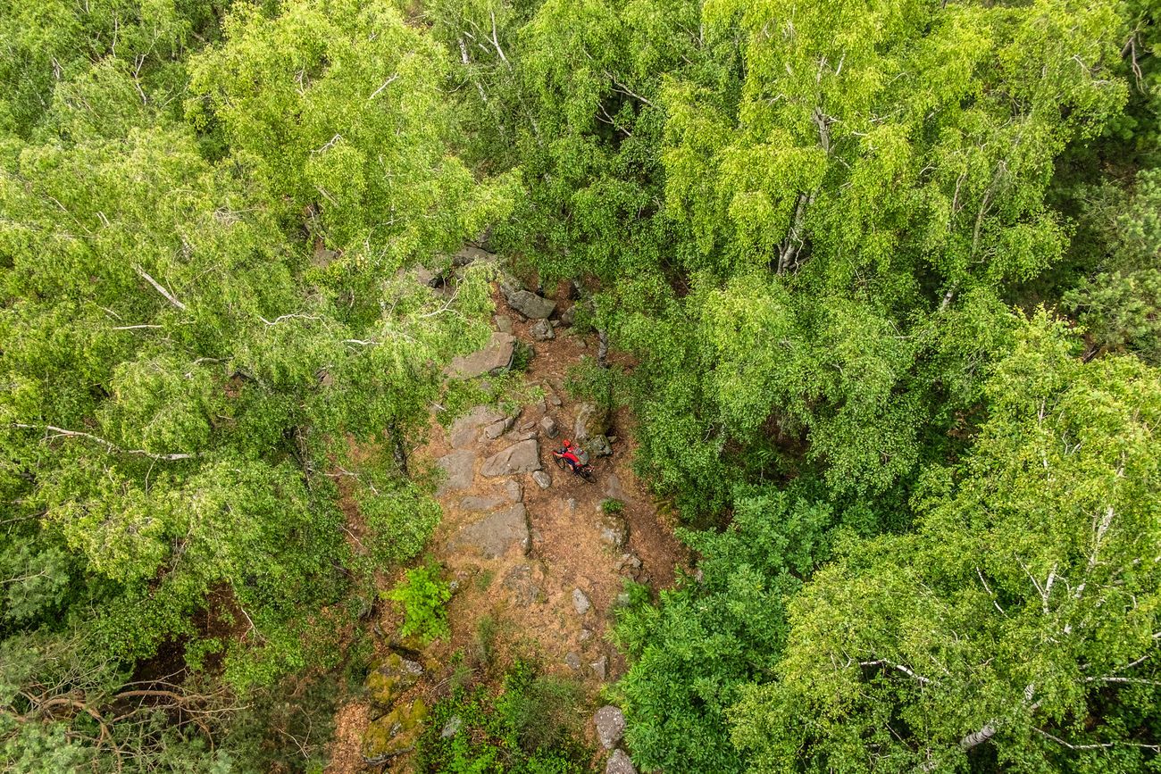
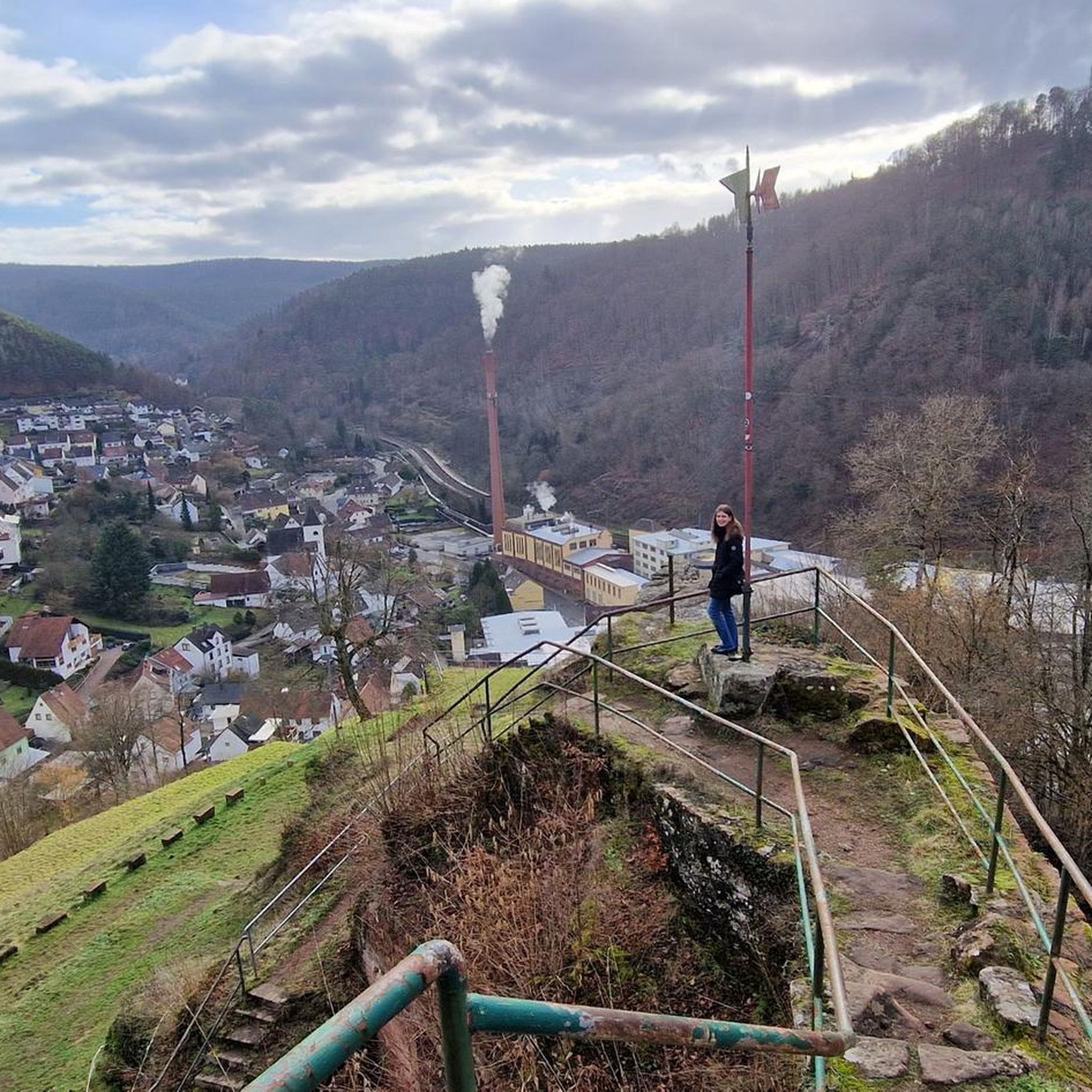
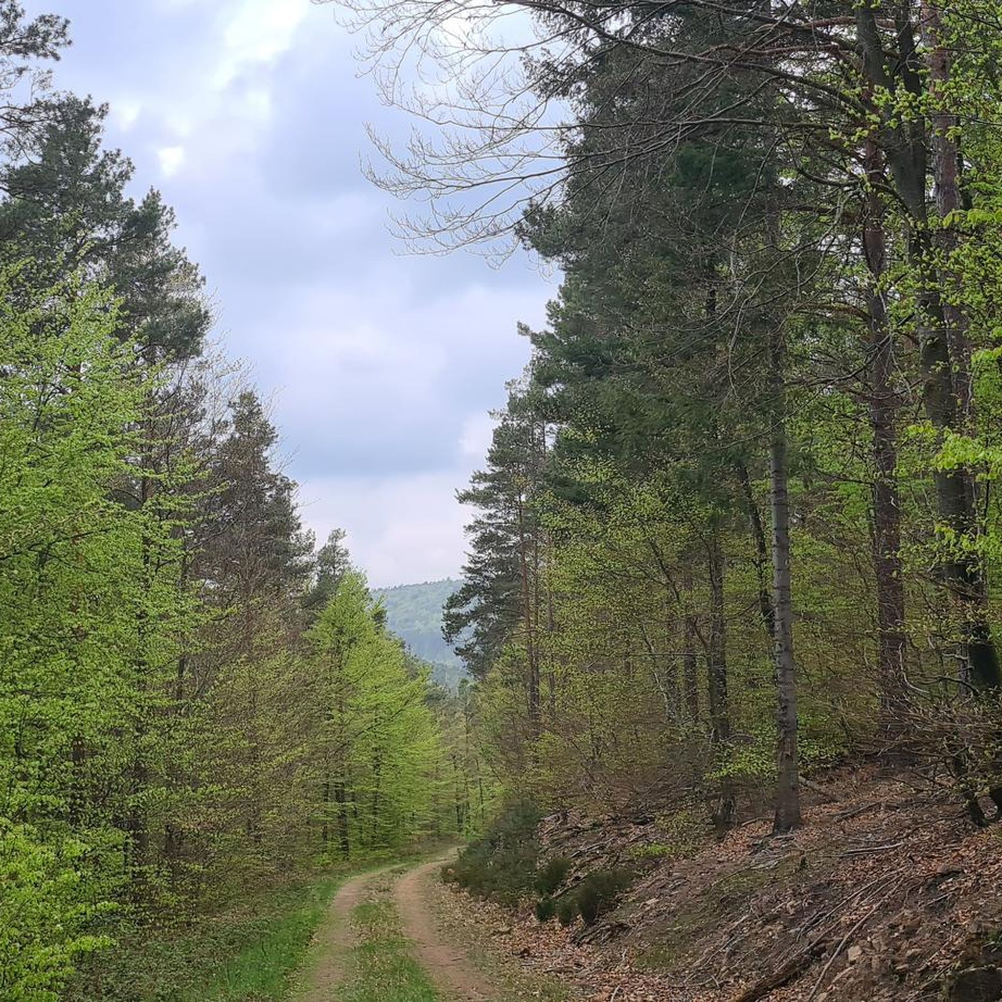

커뮤니티 팁

Anyone who has made it this far can and should continue the rest of the way to the summit 👍. Otherwise, head towards Maikammer, St. Martin or Elmstein... the agony of choice
1
1

You can find a list of knight stones here: https://de.m.wikipedia.org/wiki/Liste_der_Rittersteine
2
1

You can take a “passport photo” here. However, you are not really at the summit and you don't have a view here either. The way to the Kalmit hut at the summit is not far.
3
0
Here is the decision to stay on the road or drive to the Kalmit summit. Access to this can only be enjoyed to a limited extent by racing bike.
3
0

Here you can still decide whether you want to go up to Kalmit or continue on Totenkopfstrasse.
2
0
When you're here, you've made the ascent and can happily destroy the altitude you've worked up. C'est tout. You don't necessarily have to stop here.
4
0

There is also a large rest area with a few benches and tables in the shade.
3
1

You have to find the shelter first. It's a bit hidden and then without a seat. But the parking lot is spacious and suitable for several vehicles
4
0


더 살펴보기
이 가이드를 통해 더 많은 장대한 산악 통과를 확인해보세요 프랑켄넥 주변:
