바이덴탈에서 가장 멋진 5개의 산길
바이덴탈에서 가장 멋진 산길을 아래에서 살펴보세요. 풍경을 감상하기에도 좋고, 오르막길/내리막길을 따라 걷기에도 좋은 곳이랍니다. 커뮤니티가 특별 도움을 통해 공유한 콘텐츠인 만큼 믿을 수 있는 정보이니 마음에 드는 산길이 있다면 바로 다음 모험 계획에 추가해서 바로 방문해보세요.
마지막 업데이트: 10월 11, 2026
Hahnenschritt 고개 주차장 (해발 565 m)
하이라이트 • 주차장
번역자 Google •
팁에 의해

Rotsteig 고개 (340m)
하이라이트 • 산악 고개
번역자 Google •
팁에 의해

이런 장소를 발견하려면 지금 가입하세요
최고의 싱글 트랙, 봉우리 및 다양한 흥미로운 야외 장소에 대한 추천을 받아보세요.
Knoppenweth 고개 (450m)
하이라이트 • 산악 고개
번역자 Google •
팁에 의해

토텐코프슈트라세 내리막길
하이라이트 (구간) • 산악 고개
번역자 Google •
팁에 의해

토텐코프슈트라세: 칼밋에서 엘름슈타이너 탈까지
하이라이트 (구간) • 산악 고개
번역자 Google •
팁에 의해

오늘 무료 계정으로 시작하세요
다음 모험이 기다리고 있어요.

커뮤니티 팁

Totenkopfstraße from the Kalmit down to Breitenstein. Easy to drive up and down. The cars are a bit annoying, but it's OK😅.
2
1


The majority of the route is part of the Totenkopfstraße (Skull Road). The Totenkopfstraße (Skull Road) is a 13.6 km long mountain pass road in the Palatinate Forest in the Rhineland-Palatinate districts of Southern Wine Route and Bad Dürkheim.
4
0

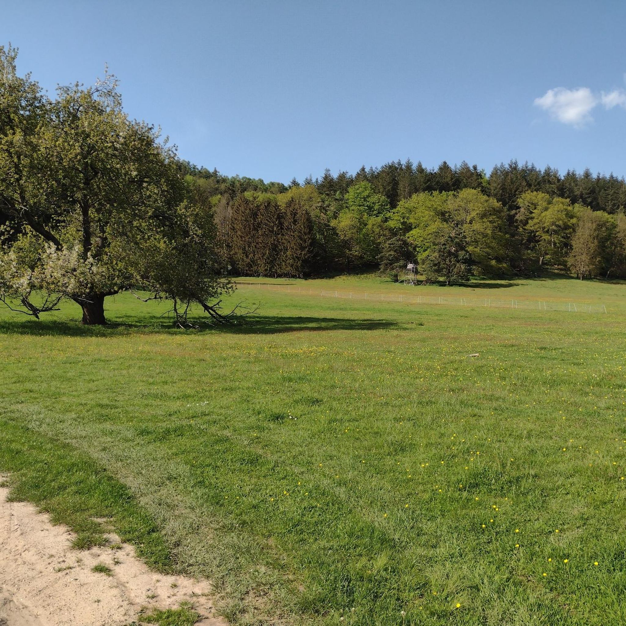
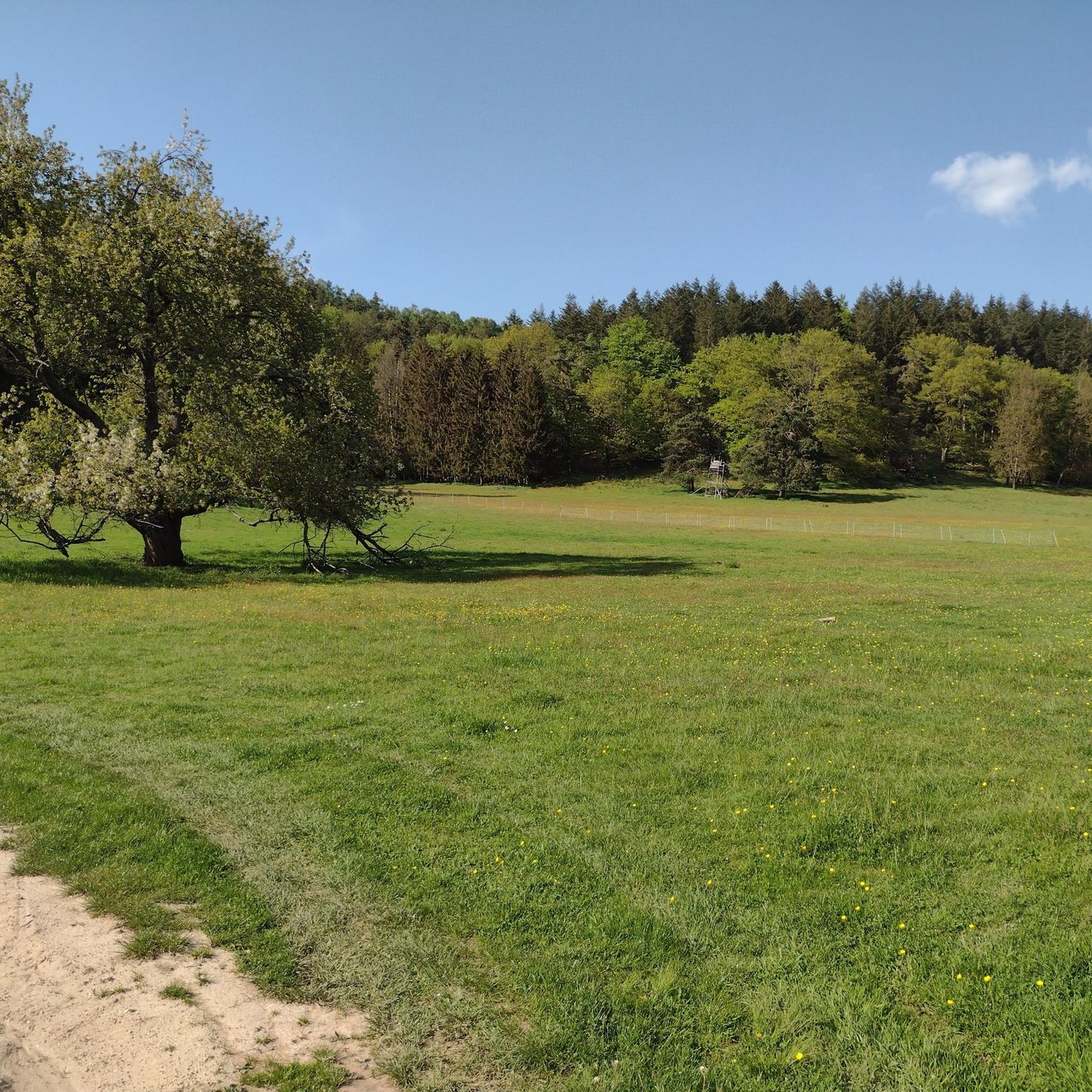
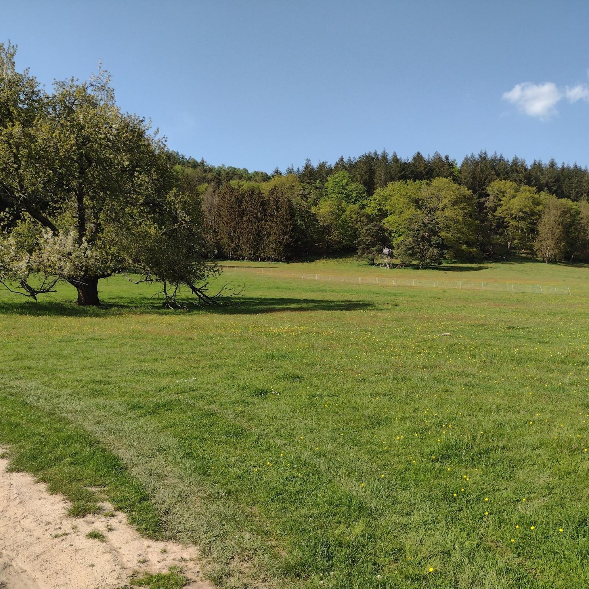
The Knoppenweth (hist. Waldweide) is a mountain saddle between Stabenberg and Mittelberg. The historic donkey path passes the Knoppenweth.
5
1

One of the numerous crossroads in the Palatinate Forest
4
1

The “Rotsteig” is at an altitude of 340 m. It can be reached from three entrances: -Northeast driveway from Wachenheim (approx. 7 km / approx. 216 m) -Southwest driveway from Lindenberg (approx. 5 km / approx. 231 m) -Southeast driveway from Gimmeldingen (approx. 6.4 km / approx. 171 m) - note the closure!
3
0

Speed junkies know what's possible here!
2
1


더 살펴보기
이 가이드를 통해 더 많은 장대한 산악 통과를 확인해보세요 바이덴탈 주변:
