클라인 위텐시에서 가장 멋진 20개의 천연기념물
천연기념물을 방문하여 클라인 위텐시의 아름다운 풍경을 만나보세요. 클라인 위텐시에 있는 20
개의 천연기념물과 상세 정보를 살펴본 후에 방문하고 싶은 천연기념물을 다음 모험 계획에 추가해보세요!
마지막 업데이트: 8월 31, 2026
베제비에서 바라본 그로세 브라이테 전망
하이라이트 (구간) • 전망대
번역자 Google •
팁에 의해


이런 장소를 발견하려면 지금 가입하세요
최고의 싱글 트랙, 봉우리 및 다양한 흥미로운 야외 장소에 대한 추천을 받아보세요.
조르크볼더 내륙 사구
하이라이트 • 자연 기념물
번역자 Google •
팁에 의해


하이드베르크 정상과 트레일
하이라이트 • 정상
번역자 Google •
팁에 의해

무료로 가입하여 클라인 위텐시 주변의 더 많은 자연 기념물을 발견하세요.
이미 komoot 계정이 있나요?
오늘 무료 계정으로 시작하세요
다음 모험이 기다리고 있어요.
커뮤니티 팁

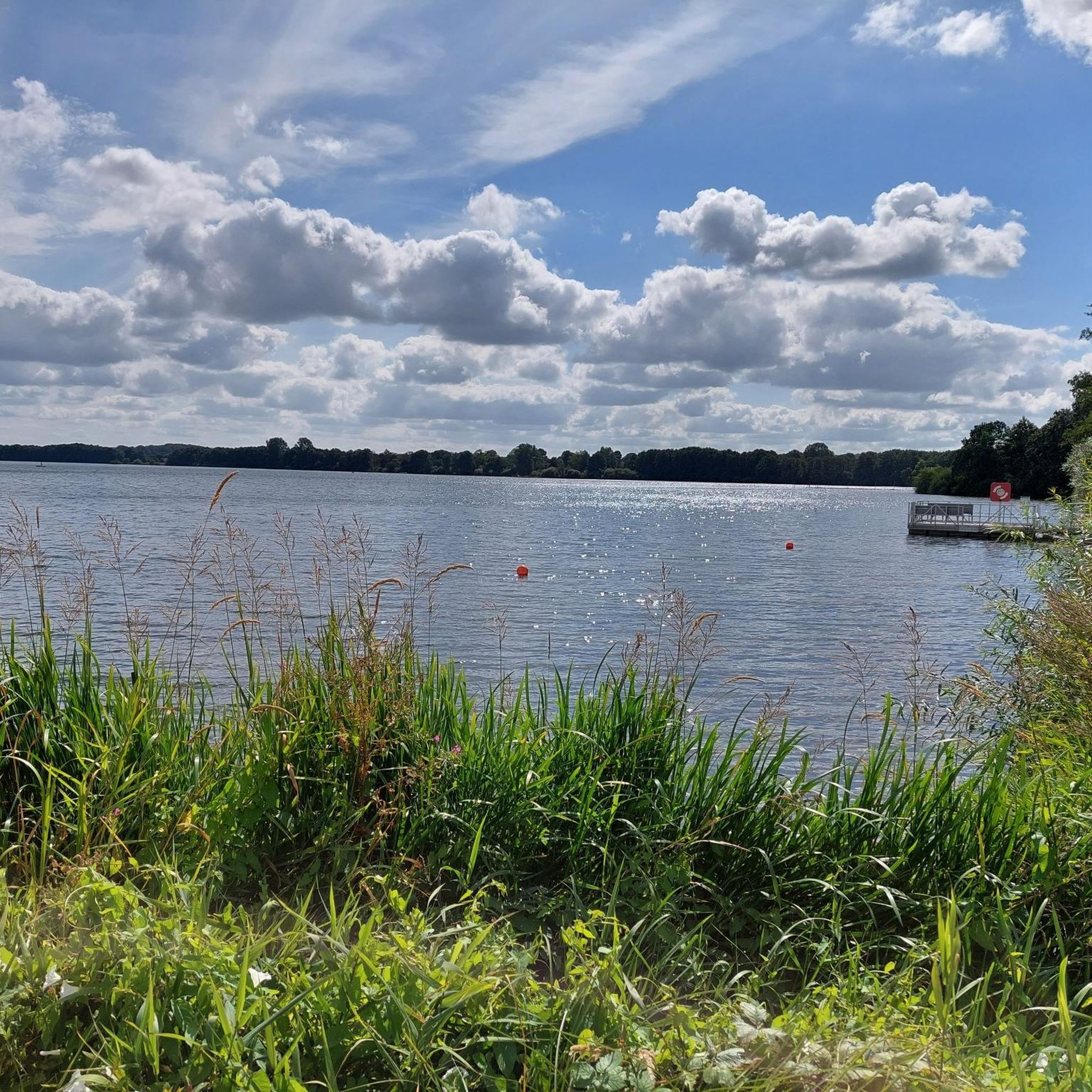
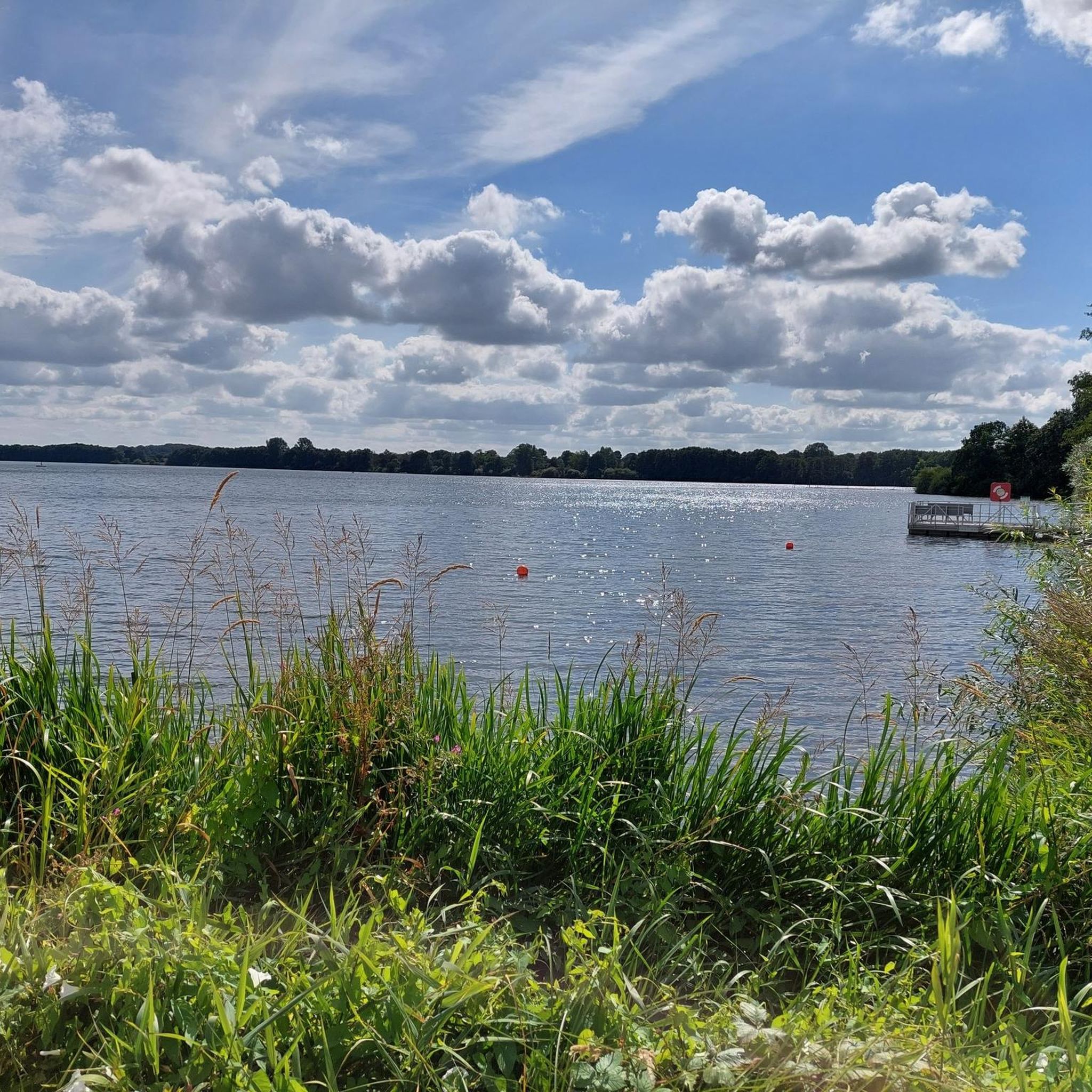
Beautifully situated on the Rammsee lake... if necessary, you can certainly find a place to rest for the night here.
2
0

Beautiful hike in August when the heather is in bloom.
0
0


The deepest point of the Windebyer Noor[2], at 13.6 metres, is in the north of the lake near the Eckernförde district of Carlshöhe; in the middle, the lake is eleven metres deep. The water of the Windebyer Noor is slightly saline (in different places between over one and a good two PSU[3]). Bulges of the Windebyer Noor are called Schnaaper Bucht (Snap Bugt), Norderhake (Nørrehage), Süderhake (Sønderhage), Südbucht (Sydbugt)[4] and Kochendorfer Bucht.[5] The Norderhake was the connecting arm of the Windebyer Noor to the Eckernförde city harbour.
0
0
The Windebyer Noor (obsolete: Eckernförder Noor, Schna(a)per Noor and Goos-Noor; Danish: Vindeby Nor, Low German: Winnebyer Noor, Winneby-Noor) is a 389 hectare inland lake in Schleswig-Holstein. It is located on the western edge of the town of Eckernförde, to whose municipal area it belongs. To the south and west, the eponymous municipality of Windeby borders the shore of the lake. Former residents of the lake were the municipality of Borby until its incorporation in 1934 (Borby exclave Schnaap) and the municipality of Gammelby until 1973 (Grasholz).
0
0

Beautiful sheltered rest hut directly at the Rammsee.
1
0

Very nice new shelter at the Ramsee. The benches are so wide that you can comfortably take a nap ;-)
2
0

The Sorgwohlder inland dunes near Owschlag have been a nature reserve along the Sorge lowlands since 1936. It extends from Sorgwohld in a northeasterly direction. The dunes were formed in the late and post-glacial periods around 12,000 years ago. A constant ice wind blew the sand from the erosion edges, created by meltwater that had severely eroded the Owschlager Sander in Sorgetal, into mighty dunes. Today it can be assumed that parts of the Sorgwohlde inland dunes have been almost devoid of vegetation since the Ice Age. Humans have cultivated this landscape through grazing and farming since around 1000 AD. fundamentally shaped. The farmers in the sandy areas used the soil removed by pests to litter the stables and then fertilize their one-sidedly cultivated fields. Plowing and removing heather and other ground litter removed nutrients from the soil. This meant that the heather was always able to sprout new crops and germinate its sun-loving seeds better. The Ochsenweg also had an influence on the area. At Sorgwohld he crossed the worry. Large storage areas had to be available at such water points. The cattle kept churning up the ground. The Sorgwohlder inland dunes with their heaths and silver grass and lichen meadows, which are unique to Schleswig-Holstein and are home to a number of insects and spider species that are threatened with extinction. You can find further detailed information about the Sorgwohlder inland dunes here: http://www.owschlag.info/BUND/binnenduenen.htm
3
0
클라인 위텐시 주변에서 가장 인기 있는 명소


더 살펴보기
클라인 위텐시 주변의 최고의 동굴을 찾기 위해 이 가이드를 확인해보세요:
