경로

플래너

기능

업데이트

App

로그인 또는 가입

앱 다운로드

로그인 또는 가입

경로
Places to see
Natural Monuments
독일
슐레스비히-홀슈타인
Rendsburg-Eckernförde

홀트제

홀트제‬에서 가장 멋진 ‪20‬개의 천연기념물


천연기념물을 방문하여 홀트제의 아름다운 풍경을 만나보세요. 홀트제에 있는 20
개의 천연기념물과 상세 정보를 살펴본 후에 방문하고 싶은 천연기념물을 다음 모험 계획에 추가해보세요!

마지막 업데이트: 8월 31, 2026

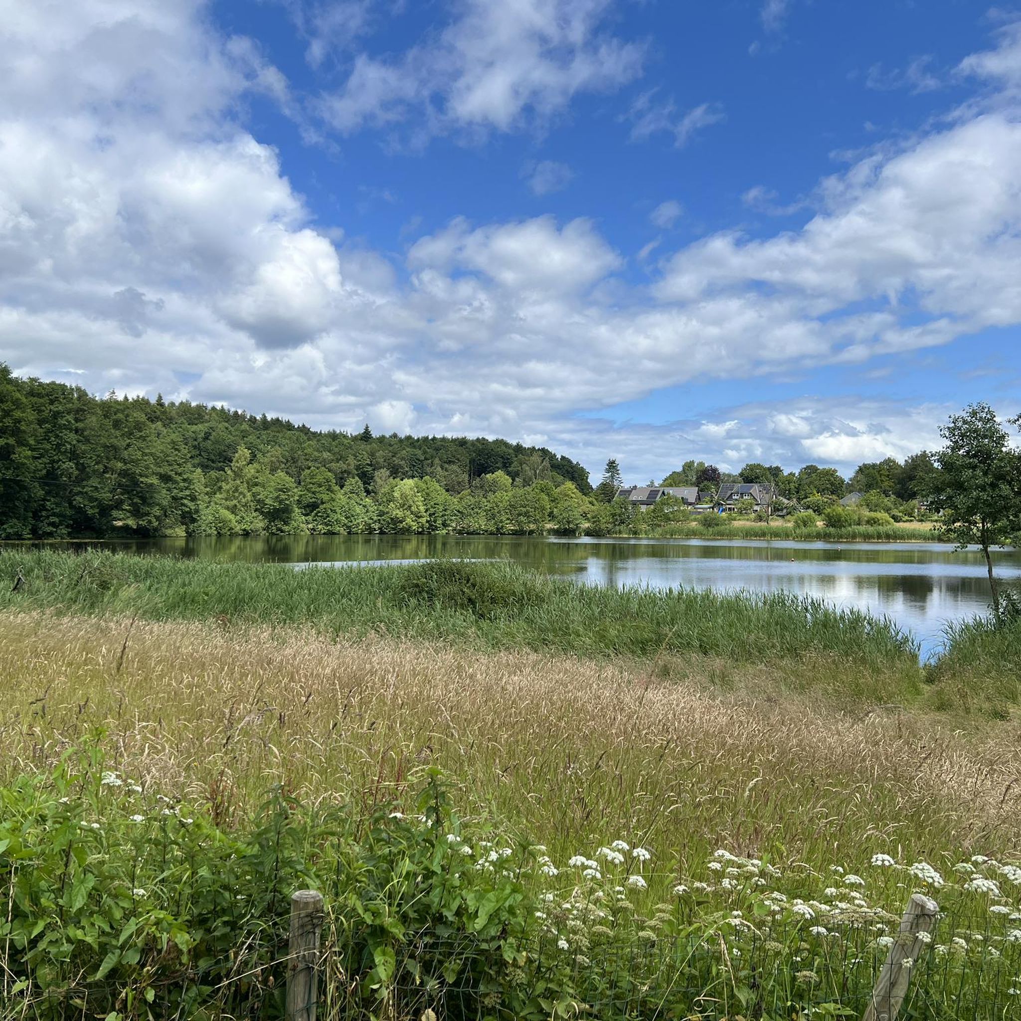
플렘후더 호수

하이라이트 • 호수

The Flemhuder See is a protected landscape component. After the construction of the Kiel Canal before the First World War, the lake shrank from 230 to just 30 hectares. The …

번역자 Google •

에 의해

라이딩 보기

휴대폰으로 전송

저장

Beginning at the Eckernförde burial forest, you follow a forest path in IMMEDIATE proximity to the cliffs.

번역자 Google •

에 의해

저장

이런 장소를 발견하려면 지금 가입하세요

최고의 싱글 트랙, 봉우리 및 다양한 흥미로운 야외 장소에 대한 추천을 받아보세요.

무료 회원 가입

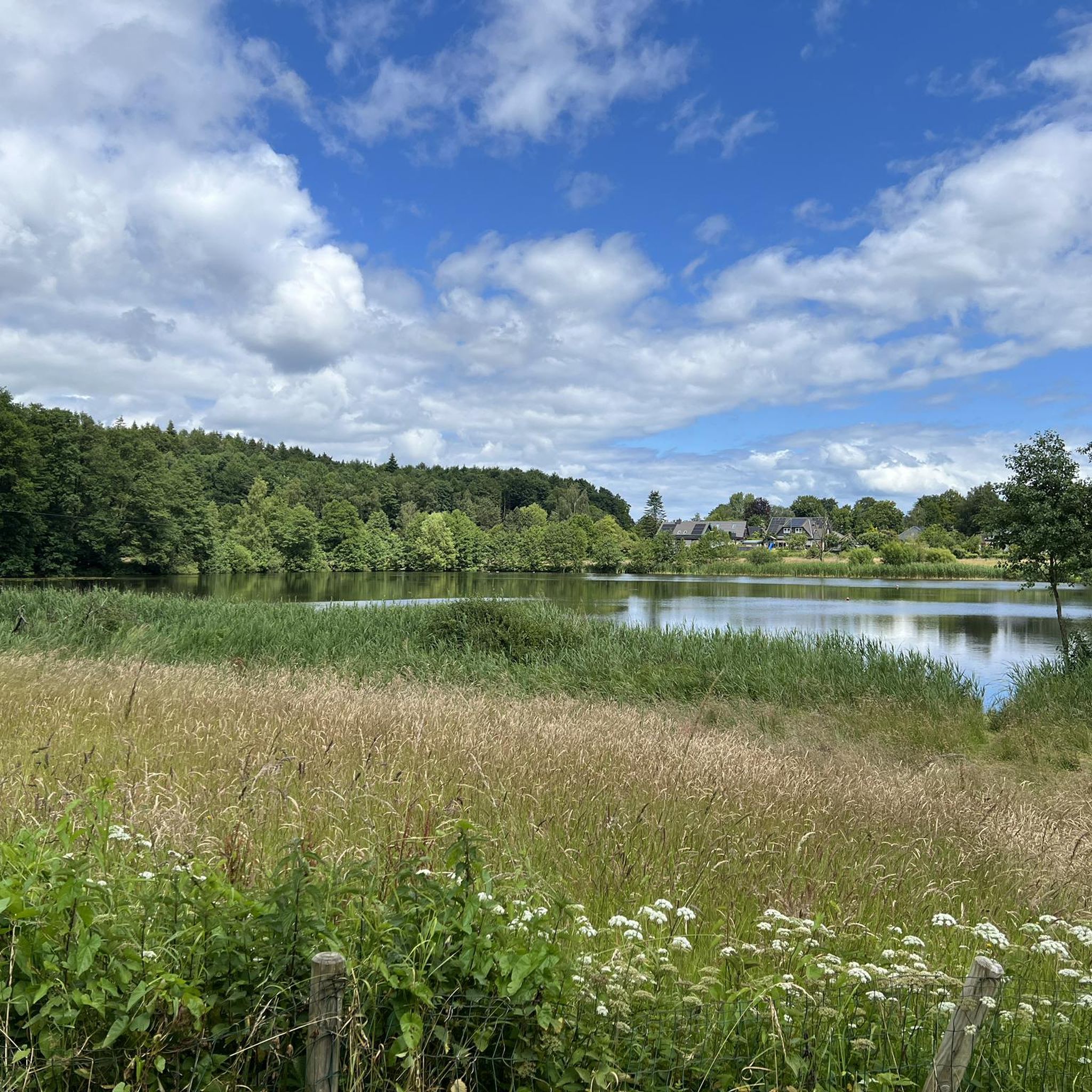
Beautiful nature reserve. Partly the way can be muddy, because it is a wetland. Therefore, it can happen that there is high reeds left and right of the path, so …

번역자 Google •

에 의해

저장

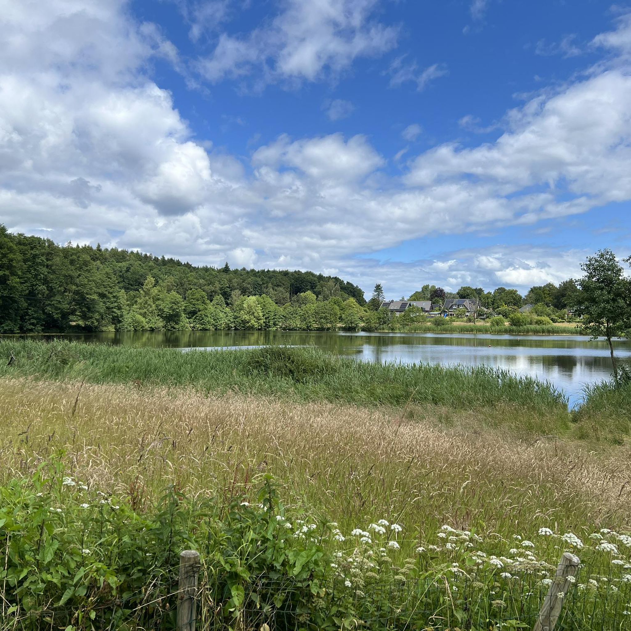
빈데뷔어 노어

하이라이트 • 호수

The Windebyer Noor has a lot to offer: the former Eckernförde narrow-gauge railway, an old water mill, secluded paths, great trees, a glacial boulder and much more!

번역자 Google •

에 의해

저장

칼스민데의 랑베트

하이라이트 • 역사적 장소

The long bed in Karlsminde is a megalithic grave that originally dates from the Neolithic around 2,500 BC.

번역자 Google •

에 의해

저장

무료로 가입하여 홀트제 주변의 더 많은 자연 기념물을 발견하세요.

무료 회원 가입

이미 komoot 계정이 있나요?

오늘 무료 계정으로 시작하세요

다음 모험이 기다리고 있어요.
로그인 또는 가입하기

홀트제 주변 인기 장소

홀트제 하이킹

홀트제 사이클링

홀트제 로드 사이클링 경로

홀트제 MTB 트레일

홀트제 주변 그래블 라이딩

홀트제 러닝 트레일

커뮤니티 팁

JR on Tour
1월 13, 2026, Steilküste der Eckernförder Bucht

After the burial forest, the path leads directly along the cliff edge, offering magnificent views across Eckernförde Bay... After storms, it can happen that sections of the coast are washed away and the path is temporarily no longer there.

번역: Google

4

0

The deepest point of the Windebyer Noor[2], at 13.6 metres, is in the north of the lake near the Eckernförde district of Carlshöhe; in the middle, the lake is eleven metres deep. The water of the Windebyer Noor is slightly saline (in different places between over one and a good two PSU[3]). Bulges of the Windebyer Noor are called Schnaaper Bucht (Snap Bugt), Norderhake (Nørrehage), Süderhake (Sønderhage), Südbucht (Sydbugt)[4] and Kochendorfer Bucht.[5] The Norderhake was the connecting arm of the Windebyer Noor to the Eckernförde city harbour.

번역: Google

0

0

The Windebyer Noor (obsolete: Eckernförder Noor, Schna(a)per Noor and Goos-Noor; Danish: Vindeby Nor, Low German: Winnebyer Noor, Winneby-Noor) is a 389 hectare inland lake in Schleswig-Holstein. It is located on the western edge of the town of Eckernförde, to whose municipal area it belongs. To the south and west, the eponymous municipality of Windeby borders the shore of the lake. Former residents of the lake were the municipality of Borby until its incorporation in 1934 (Borby exclave Schnaap) and the municipality of Gammelby until 1973 (Grasholz).

번역: Google

0

0

The landscape conservation area is located in the north of the Altmark district of Salzwedel and includes the Arendsee as well as parts of the forest and grassland areas to the north. The villages of Arendsee, Genzien, Zießau and Ziemendorf are affected by the landscape conservation area.

번역: Google

4

1

The Westensee (elevation 6 m above sea level) is located in the Achterwehr district in the Rendsburg-Eckernförde district. It is the fifth largest lake in Schleswig-Holstein and is characterized as a lime-rich lowland lake with a relatively large catchment area without pronounced temperature stratification. With its location between the cities of Kiel and Rendsburg, it forms the center of the Westensee Nature Park. It drains into Schleswig-Holstein's largest river, the Eider, and also reaches the Kiel Canal via the Achterwehr shipping canal.

번역: Google

4

1

It has now happened: large sections of the path, which ran directly along the edge, have collapsed, taking numerous trees with them. Part of it has been cordoned off with barrier tape – which is now quite damaged. A narrow alternative path runs alongside the original one. It is very sad and frightening, but walkable – however, definitely not recommended for strollers or people with mobility impairments!

번역: Google

6

1

The restored megalithic tomb from the Neolithic period is not only impressive with its dimensions, everything here is beautifully laid out and a bench invites you to take a break

번역: Google

0

0

Here the Baltic Sea 💦 or the Eckernförde Bay shows itself from one of its most beautiful sides. A beautiful sight and a magnificent view. The path leads through beech forests and along the coast!

번역: Google

6

0

홀트제 주변에서 가장 인기 있는 경로

홀트제 교통량 없는 자전거 라이딩

홀트제 주변에서 가장 인기 있는 명소

Places to see

Store rating

komoot 모바일 앱으로 영감을 받아보세요

무료 komoot 계정로 끝없는 야외 모험을 손쉽게 찾고, 맞춤 설정하며 길안내할 수 있어요.

또는

지금 komoot에 가입하세요

Store rating

더 살펴보기

홀트제 주변의 최고의 동굴을 찾기 위해 이 가이드를 확인해보세요:

되르호프위네마크리스비노이비텐벡알텐홀츠바클스비헐렁한오스도르프크론샤겐슈베데넥엠켄도르프투텐도르프린다우와브스웨스텐시쉰켈노에르그로스 볼스테트몰프제코젤펠데카르비미엘켄도르프멜스도르프홀츠도르프로덴벡브레덴벡크룸비쉬콰른벡노이도르프-본슈타인펠름보베나우쇠렌악터베어데니셴하겐간수쉬렌제플레케비훔멜펠트스트란데소문Naturpark Westensee썸비습기브레켄도르프플린트벡엘러도르프그레벤크루그테켈스도르프본후젠블루멘탈에케른포르데감멜비다멘도르프쇤호르스트하스무어귀비윈드비그로스 위텐제아셰펠게토르프렌츠부르크아이젠도르프오우슐라그비제슈말스테데팀마스페데트겐브뤼헤샤흐트-오도르프와스벡로에-푀르덴쾨니히슈겔알트 뒤벤스테트리케르트브라머포크벡리스도르프엘스도르프-베스터뮐렌고리뷘스도르프보르그스테트뷔델스도르프그누츠보그도르프-세도르프알레펠트-비스텐제예벤스테트뉘벨오스테론펠트슐도르프세헤스테트슐프 바이 노르토르프쇤벡크리스티안홀름보르데스홀름와텐벡구스펠드프리드리히스홀름뮈브룩노이 뒤벤스테트네겐해리그로스 부흐발트엔도르프크로가스페뫼렐아우크룩Naturpark Aukrug웨스테론펠트아르프스도르프오스텐펠트야르스도르프하인켄보르스텔홀츠번게올덴휘텐호엔웨스트클라인 위텐시소피엔햄그라우엘파덴스테트미젠타펜도르프라데 베이 호엔웨스테트하비바그스톨프리드리히스그라벤룬슈테트스틴펠드Naturpark Hüttener Berge니엔보르스텔렘멜함도르프와펠펠트벨도르프보른홀트슈타프스테트오스터스테트회르스텐타덴올덴뷔텔슐프 바이 렌츠부르크브린자헤함베델베링스테트토덴뷔텔엠뷔렌Hanerau-Hademarschen브레이홀츠할레고켈스뤼첸웨스테트프린젠무어타케스도르프Ahrensee und nordöstlicher WestenseeBrekendorfer ForstGroßes Haaler Gehege웨스텐시칼텐호퍼 무어

근처 어드벤처 가이드

거위 즐길거리

background

새로운 정복을 위한 준비를 하세요

무료로 가입하기

탐험하기
경로경로 플래너기능바우처 사용하이킹MTB 트레일로드 사이클링 경로바이크패킹사이트맵
앱 다운로드
소셜 미디어에서 팔로우하기

© komoot GmbH

개인 정보 보호 정책