쇤볼카우에서 가장 멋진 20개의 천연기념물
천연기념물을 방문하여 쇤볼카우의 아름다운 풍경을 만나보세요. 쇤볼카우에 있는 20
개의 천연기념물과 상세 정보를 살펴본 후에 방문하고 싶은 천연기념물을 다음 모험 계획에 추가해보세요!
마지막 업데이트: 10월 11, 2026
Werbeliner See 자전거길
하이라이트 • 자전거 도로
번역자 Google •
팁에 의해

베르벨리너 호수 전망
하이라이트 • 전망대
번역자 Google •
팁에 의해

이런 장소를 발견하려면 지금 가입하세요
최고의 싱글 트랙, 봉우리 및 다양한 흥미로운 야외 장소에 대한 추천을 받아보세요.

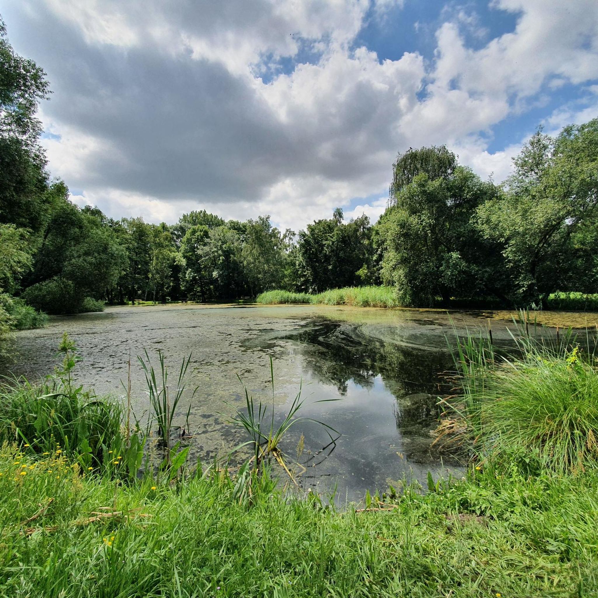
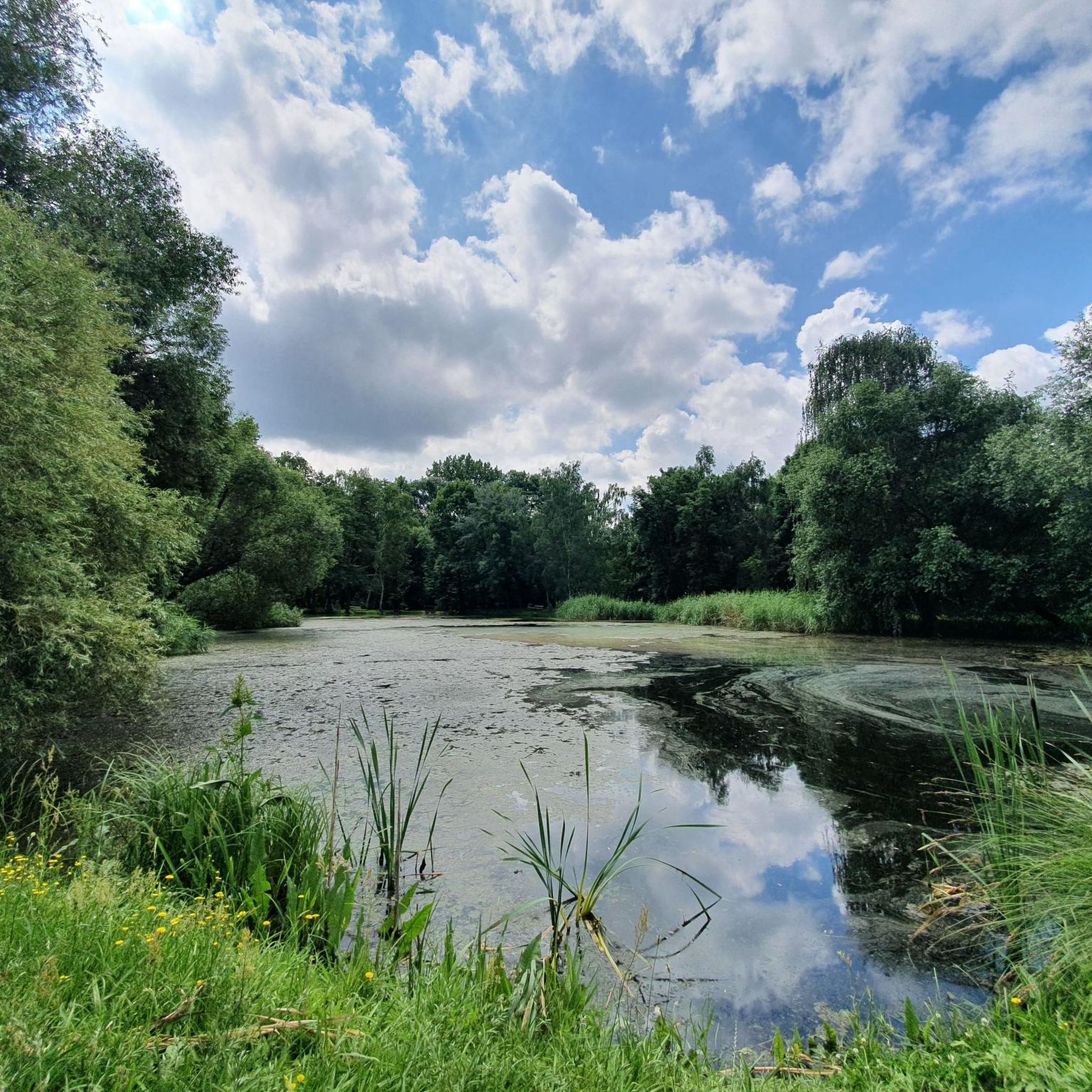
Werbeliner See에 있는 Brodauer Zinken
하이라이트 • 호수
번역자 Google •
팁에 의해


무료로 가입하여 쇤볼카우 주변의 더 많은 자연 기념물을 발견하세요.
이미 komoot 계정이 있나요?
오늘 무료 계정으로 시작하세요
다음 모험이 기다리고 있어요.
커뮤니티 팁

오늘날, Neuhäuser 호수에는 풍경의 형성에 관한 전망대와 정보 표지판이 있는 잘 구축된 자전거 및 하이킹 경로 네트워크가 펼쳐져 있습니다. Lutherstadt Wittenberg에서 Markkleeberg까지 이어지는 120km 길이의 Kohle-Dampf-Licht 자전거 경로는 호수를 지나갑니다. 출처 https://de.wikipedia.org/wiki/Neuh%C3%A4user_See
1
0
19세기 중반, Goitzsche 남서쪽 Petersroda와 Holzweißig 마을 근처에서 최초의 광업 활동이 시작되었습니다.[3] 갈탄층을 따라 채굴은 서쪽에서 동쪽으로 이동했습니다. 오늘날 Magdeburg–Leipzig 및 Trebnitz–Leipzig 철도 노선의 개통으로 갈탄 판매 시장은 Halle 및 Leipzig까지 확장되었습니다. 19세기와 20세기에 전기 에너지와 화석 연료에 대한 수요 증가는 1908년 Leopold 노천 광산(1945년부터 1962년까지 Holzweißig–Ost)의 개방과 1958년 Holzweißig-West 노천 광산의 생성을 가져왔습니다.[3] Neuhäuser See는 이전의 Holzweißig-West 갈탄 노천 광산에서 형성되었습니다. 이름은 1976년 Paupitzsch 마을과 함께 철거된 Neuhaus 영지에서 유래했습니다. Holzweißig-West 노천 광산은 1958년부터 1980년까지 운영되었습니다. 다른 자료에서는 1991년까지 사용되었다고 보고합니다. 호수의 침수는 1993년부터 2005년까지 이루어졌습니다.[1] 넘치는 물은 Goitzsche를 통해 Mulde로 흘러갑니다. 1997년부터 이 지역은 복원되고 안정적인 제방이 만들어지고 있습니다. Quelle https://de.wikipedia.org/wiki/Neuh%C3%A4user_See
1
0
노이하우저 제(Neuhäuser See)는 작센 자유주와 작센안할트주의 북서쪽 국경에 위치하며, 해발 약 78m 높이에 있습니다. 호수 남쪽에는 북부 작센 지역의 군청 소재지인 델리치(Delitzsch)의 지역인 벤도르프(Benndorf)가 있고, 북쪽에는 작센안할트주의 통합 지자체인 비터펠트-볼펜(Bitterfeld-Wolfen)이 있습니다. 이곳은 중앙 독일 호수 지역에 있으며, 그로서 고이체제(Großer Goitzschesee)와 루트비히제(Ludwigsee), 파우피처제(Paupitzscher See) 수역 남쪽에 있습니다. Quelle https://de.wikipedia.org/wiki/Neuh%C3%A4user_See
1
0
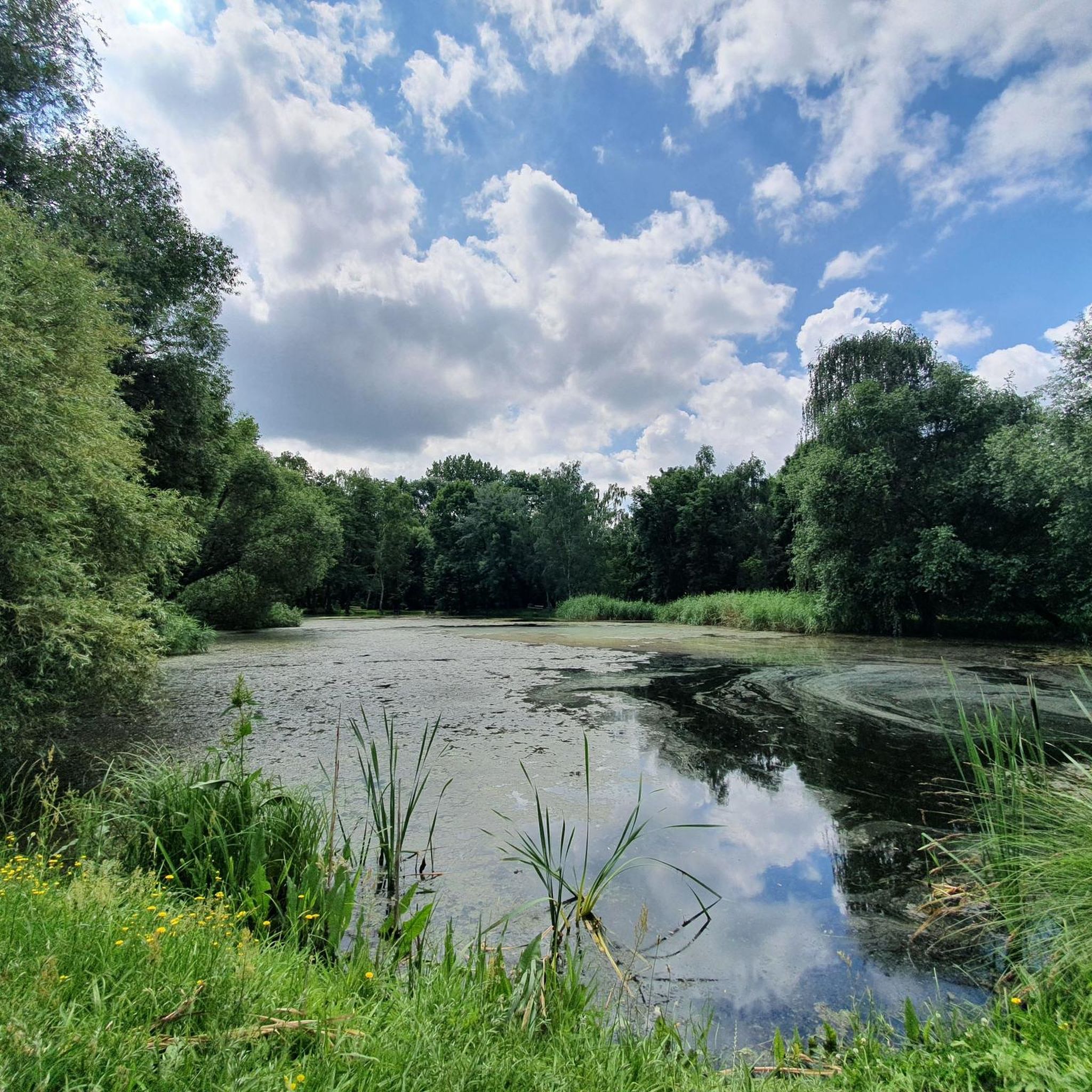
Neuhäuser See(또는 Neuhauser See)는 약 155헥타르 규모의 노천 채굴 잔여 호수로, 이전의 Holzweißig-West 노천 광산을 침수시켜 형성되었습니다. 이 호수는 독일 중부 호수 지대에 위치하며, Goitzsche 보호 경관 지역의 남쪽, Delitzsch 시의 북쪽에 있습니다. 출처 https://de.wikipedia.org/wiki/Neuh%C3%A4user_See
1
0
Asphalted circular path unfortunately with many root damages
4
0
Great rest area with a fantastic view of Lake Werbelin
4
0
쇤볼카우 주변에서 가장 인기 있는 명소


더 살펴보기
쇤볼카우 주변의 최고의 동굴을 찾기 위해 이 가이드를 확인해보세요:
