베일로데에서 가장 멋진 15개의 천연기념물
천연기념물을 방문하여 베일로데의 아름다운 풍경을 만나보세요. 베일로데에 있는 15
개의 천연기념물과 상세 정보를 살펴본 후에 방문하고 싶은 천연기념물을 다음 모험 계획에 추가해보세요!
마지막 업데이트: 10월 25, 2026


이런 장소를 발견하려면 지금 가입하세요
최고의 싱글 트랙, 봉우리 및 다양한 흥미로운 야외 장소에 대한 추천을 받아보세요.
키비츠제의 모래언덕
하이라이트 • 자연 기념물
From …
번역자 Google •
팁에 의해

Schweinert 청동기 시대 고분
하이라이트 • 역사적 장소
번역자 Google •
팁에 의해


무료로 가입하여 베일로데 주변의 더 많은 자연 기념물을 발견하세요.
이미 komoot 계정이 있나요?
오늘 무료 계정으로 시작하세요
다음 모험이 기다리고 있어요.


커뮤니티 팁

엘베 테라스 아래. 썰물일 때도 꽤 잘 갈 수 있습니다. 그리로 갈 수 있습니다.
0
0

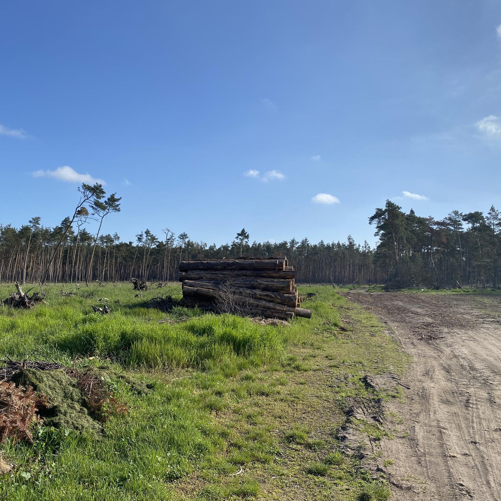
The lake was created by local gravel extraction starting in 1922. It covers an area of approximately 70 hectares with a maximum depth of twelve meters. The lake is surrounded by large pine and mixed forests, including the Schweinert nature reserve, which contains one of the largest Bronze Age burial mound fields in Europe.
0
0

The Elbe (Low German: Elv, Czech: Labe, Latin: Albis) is a Central European river that originates in the Czech Republic, flows through Germany, and empties into the North Sea. It drains, among other things, a large part of eastern Germany and almost all of Bohemia, which is surrounded by low mountain ranges. The most well-known rivers in its catchment area include the Vltava, the Mulde, the Saale, the Havel with the Spree, and the Elde with the Müritz. Characterized by the low mountain ranges in its upper reaches, it further follows two glacial valleys in the North German Plain. Measured by the size of its catchment area of 148,300 km², the Elbe ranks fourth in Central Europe according to the list of rivers in Europe, behind the Danube, the Vistula, and the Rhine, and followed by the Oder and the Memel.[6] Source: https://de.wikipedia.org/wiki/Elbe
3
0

When the water level is low, the famous hunger stones appear.
1
0

Burial field with over 650 burial mounds from the period 1200-800 years B.C.E. At this time, cremation and the associated urn burial were carried out. More on this in the photo on the board.
0
0

The hunger stones can be seen when the water level in the Elbe is 50 cm.
1
0

The lake view at Kiebitzsee is one of the few places in the renaturation area where you should go right up to the water, otherwise there are many prohibition signs on this side of the lake.
0
0

In the evening the view over the pond is particularly beautiful. 🌅
2
0
베일로데 주변에서 가장 인기 있는 명소


더 살펴보기
베일로데 주변의 최고의 동굴을 찾기 위해 이 가이드를 확인해보세요:
