프론스토프에서 가장 멋진 20개의 천연기념물
천연기념물을 방문하여 프론스토프의 아름다운 풍경을 만나보세요. 프론스토프에 있는 20
개의 천연기념물과 상세 정보를 살펴본 후에 방문하고 싶은 천연기념물을 다음 모험 계획에 추가해보세요!
마지막 업데이트: 9월 14, 2026
그로서 제게버거 호수
하이라이트 • 호수
After a salt dome with gypsum or anhydrite rock rose to the surface due …
번역자 Google •
팁에 의해

바트 제게베르크의 칼크베르크
하이라이트 • 자연 기념물
The view in good weather is fantastic.
And it is the only rock mountain in the big circle! The next one should be in the Harz …
번역자 Google •
팁에 의해

이런 장소를 발견하려면 지금 가입하세요
최고의 싱글 트랙, 봉우리 및 다양한 흥미로운 야외 장소에 대한 추천을 받아보세요.
헤렌타이히 라인펠트
하이라이트 • 호수
번역자 Google •
팁에 의해


레인펠트의 헤렌타이히 위 피쉬후저 다리
하이라이트 • 다리
번역자 Google •
팁에 의해

무료로 가입하여 프론스토프 주변의 더 많은 자연 기념물을 발견하세요.
이미 komoot 계정이 있나요?
오늘 무료 계정으로 시작하세요
다음 모험이 기다리고 있어요.

커뮤니티 팁

The Herrenteich Pond is located in the heart of the carp town of Reinfeld. It was artificially created in the 12th century by Cistercian monks as a reservoir for the Heilsau River for fish farming. Carp are still bred here today. A four-kilometer circular trail around the Lower Herrenteich invites you to discover this special ecosystem. 16 stations along the adventure trail offer fun and a nature experience in one, sharpening your awareness of the special features of this natural area. In summer, you can enjoy the cool water at the lido. See: https://tourismus-stormarn.de/de/naturerlebnis/herrenteich-reinfeld-5
2
0
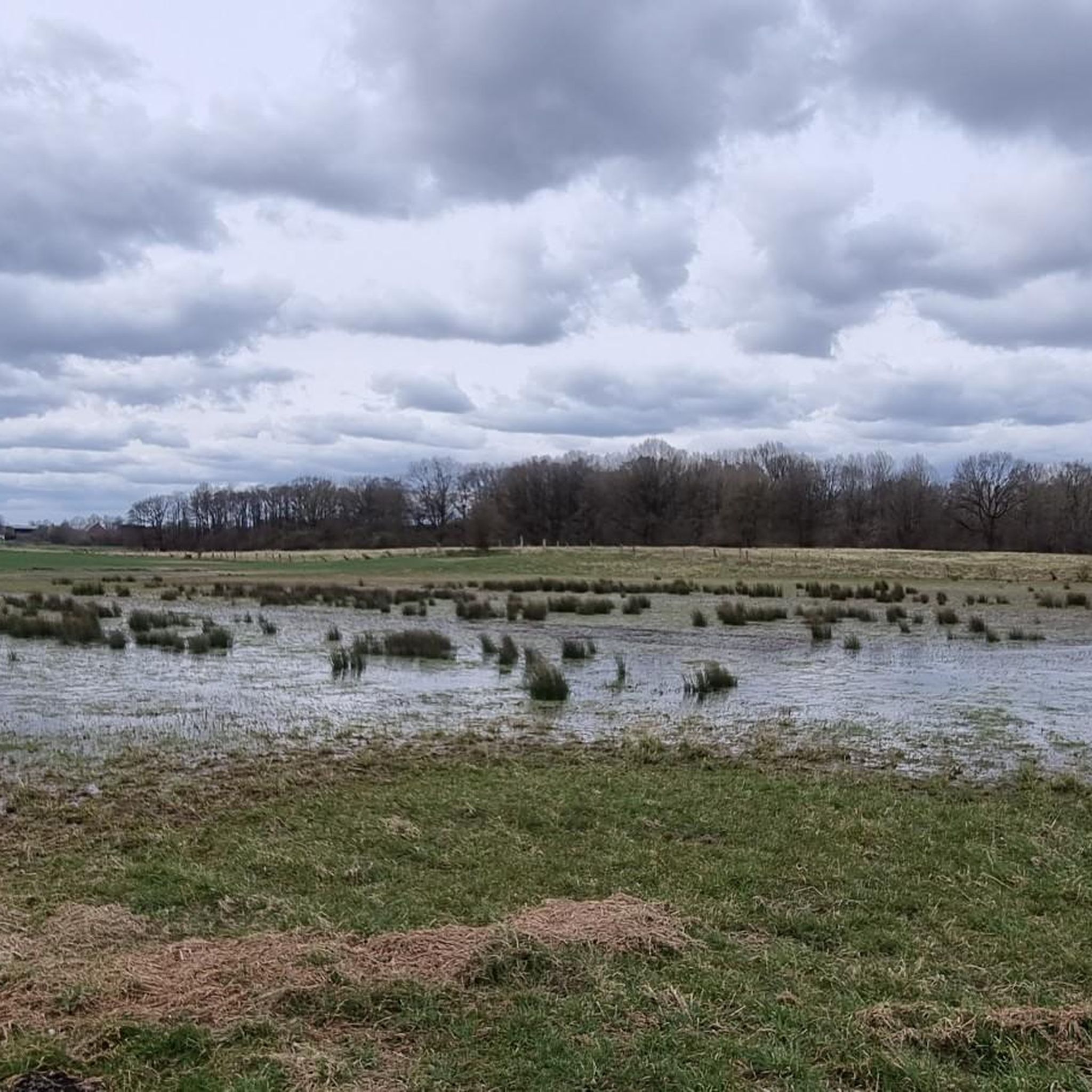
The Herrenteich in Reinfeld is a popular tourist destination. The approximately 55-hectare body of water is divided into the upper and lower Herrenteich. The upper Herrenteich remains a recognized nature reserve. The lower Herrenteich is home to, among other things, a hiking trail and an outdoor pool in the summer. Due to melting snow, the Herrenteich flooded in early March 2010. A temporary dam erected at the time due to construction work threatened to no longer hold the water masses. A breach of the dam would have flooded the entire hinterland. The Hamburg/Lübeck railway embankment would also have been affected. See: https://www.thw-badoldesloe.de/aktuelles/aktuelle-meldungen/artikel/vor-10-jahren-hochwassereinsatz-am-herrenteich-fachgruppen-wasserschadenpumpen-verhindern-stauwe
2
1
The 3.7 km long trail leads along the partially wooded shore of the Herrenteich lake. The east and west banks are connected by a bridge at the "Fischhuser Damm"—north of this bridge begins the "Oberer Herrenteich" nature reserve. See: https://reinfeld-aktiv.de/tag/reinfeld/page/6/
4
1

Ihlsee는 크라이스슈타트 바트 제게베르크의 북서쪽 시가지, 클라인니엔도르프 지역 북쪽 가장자리에 위치하며, 지정된 자연 보호 구역 Ihlsee und Ihlwald의 일부입니다. 호수의 형성은 완전히 연구되지 않았습니다. 빙하기 이후 사체 얼음으로 인해 침하가 형성되었거나, 제게베르거 염돔의 동굴 붕괴로 인한 돌리네로 형성되었을 수 있습니다. 오늘날 호수는 약 29헥타르의 면적을 가지고 있으며, 남북 방향으로 450m, 동서 방향으로 약 850m 뻗어 있습니다. 해안선 길이는 2.25km입니다. 이 호수는 뷜트제 및 가렌제와 함께 슐레스비히-홀슈타인 주의 몇 안 되는 영양염류가 적은 호수 중 하나입니다. 호수는 분지에 위치하며 유입수가 없습니다. 지하수와 유입되는 지표수(강수)로만 공급됩니다. 수영 장소 북쪽에는 호수를 그로서 제게베르거 호수와 연결하는 배수구가 있습니다. 호수 주변을 돌 수 있지만, 호숫가를 따라 직접 이어지는 길은 없습니다. 동쪽 해안에는 수십 년 동안 존재해 온 수영 장소가 있으며, 수질은 정기적으로 모니터링되며 최근 몇 년간 매우 좋음에서 좋음 등급을 받았습니다. 북쪽 해안에는 주거 지역이 있습니다. 서쪽과 남쪽에는 습지 숲인 Ihlwald가 해안선을 따라 형성되어 있습니다. 1911년부터 1961년까지 Ihlsee에는 Kleinbahn Kiel–Segeberg의 기차역이 있었으며, 선로는 1962년에 이미 철거되었습니다. Ihlsee는 그 특수성으로 인해 1950년에 이미 자연 보호 구역으로 지정되었습니다. 이 호수는 특히 영양염류가 적은 수역으로, 희귀한 식물이 자생합니다. 오늘날 이 호수는 Ihlsee und Ihlwald 자연 보호 구역의 일부이며, 2006년부터 나투라 2000 보호 지역 네트워크의 일부가 되었습니다. https://de.wikipedia.org/wiki/Ihlsee
3
0


This is the bridge at Fischhuser Damm. The name suggests that a dam must once have connected the banks of the Herrenteich pond here. In 1960, pioneers from the Eutin riot police erected the first wooden bridge, which was recently replaced by a new steel structure. The "Oberer Herrenteich" nature reserve lies to the north of the bridge.
3
0

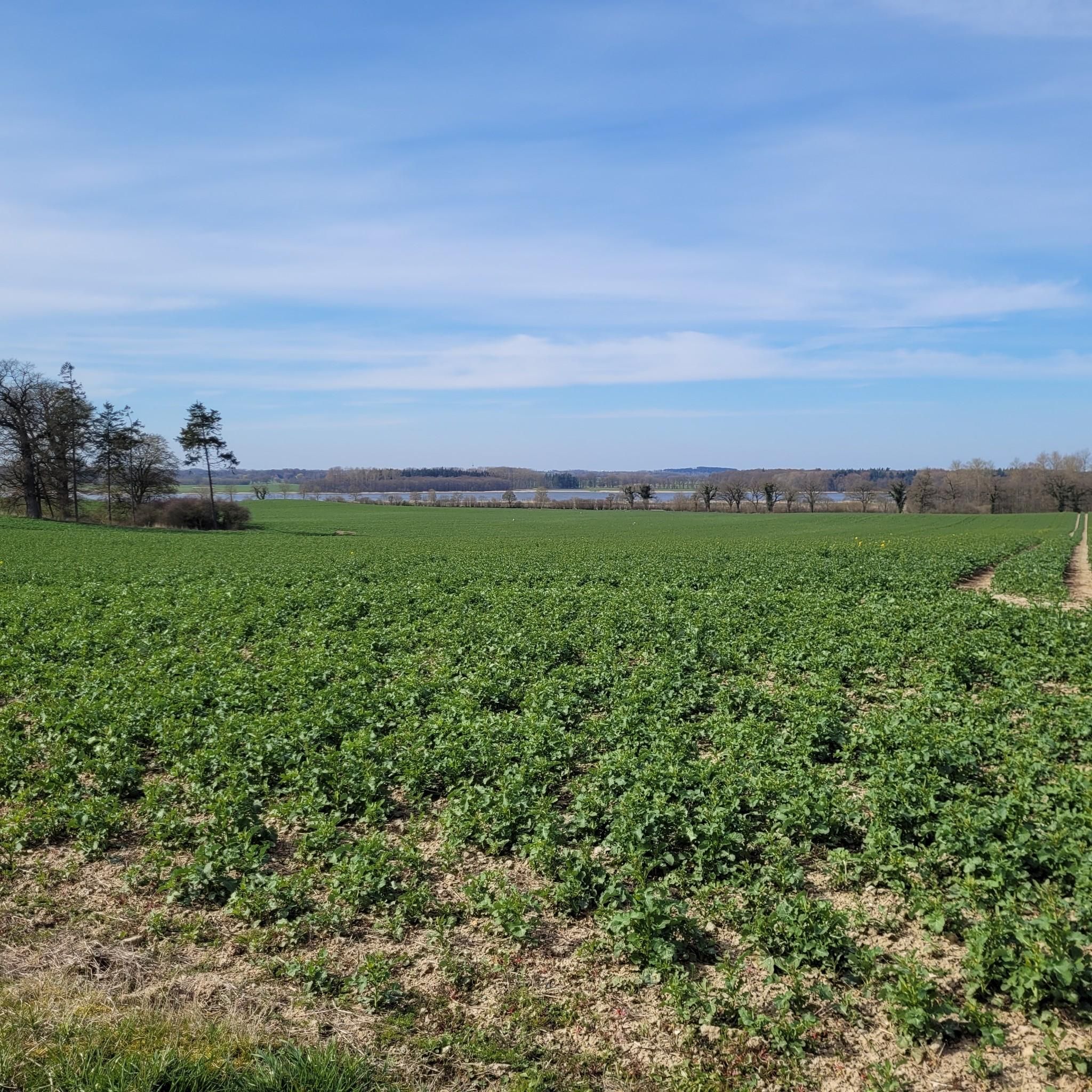
You have an absolutely fantastic view of Lake Segeberg from the highest point in the city - namely from the Kalkberg 😊... In addition there is the 360°C all-round view of Bad Segeberg for free 😃...
4
1

It should read: Reinfeld - Herrenteich. Reinbeck is wrong, Reinbek is in the south of Stormarn, near Hamburg
2
0
프론스토프 주변에서 가장 인기 있는 명소


더 살펴보기
프론스토프 주변의 최고의 동굴을 찾기 위해 이 가이드를 확인해보세요:
