세스에서 가장 멋진 20개의 천연기념물
천연기념물을 방문하여 세스의 아름다운 풍경을 만나보세요. 세스에 있는 20
개의 천연기념물과 상세 정보를 살펴본 후에 방문하고 싶은 천연기념물을 다음 모험 계획에 추가해보세요!
마지막 업데이트: 8월 31, 2026
니엔보흘더 모어 자연보호구역
하이라이트 • 자연 기념물
번역자 Google •
팁에 의해

비텐보르너 하이데 자연보호구역
하이라이트 • 자연 기념물
번역자 Google •
팁에 의해

이런 장소를 발견하려면 지금 가입하세요
최고의 싱글 트랙, 봉우리 및 다양한 흥미로운 야외 장소에 대한 추천을 받아보세요.
무료 회원 가입

니엔보흘더 무어 자연보호구역
하이라이트 • 자연
번역자 Google •
팁에 의해


오늘 무료 계정으로 시작하세요
다음 모험이 기다리고 있어요.
로그인 또는 가입하기

커뮤니티 팁


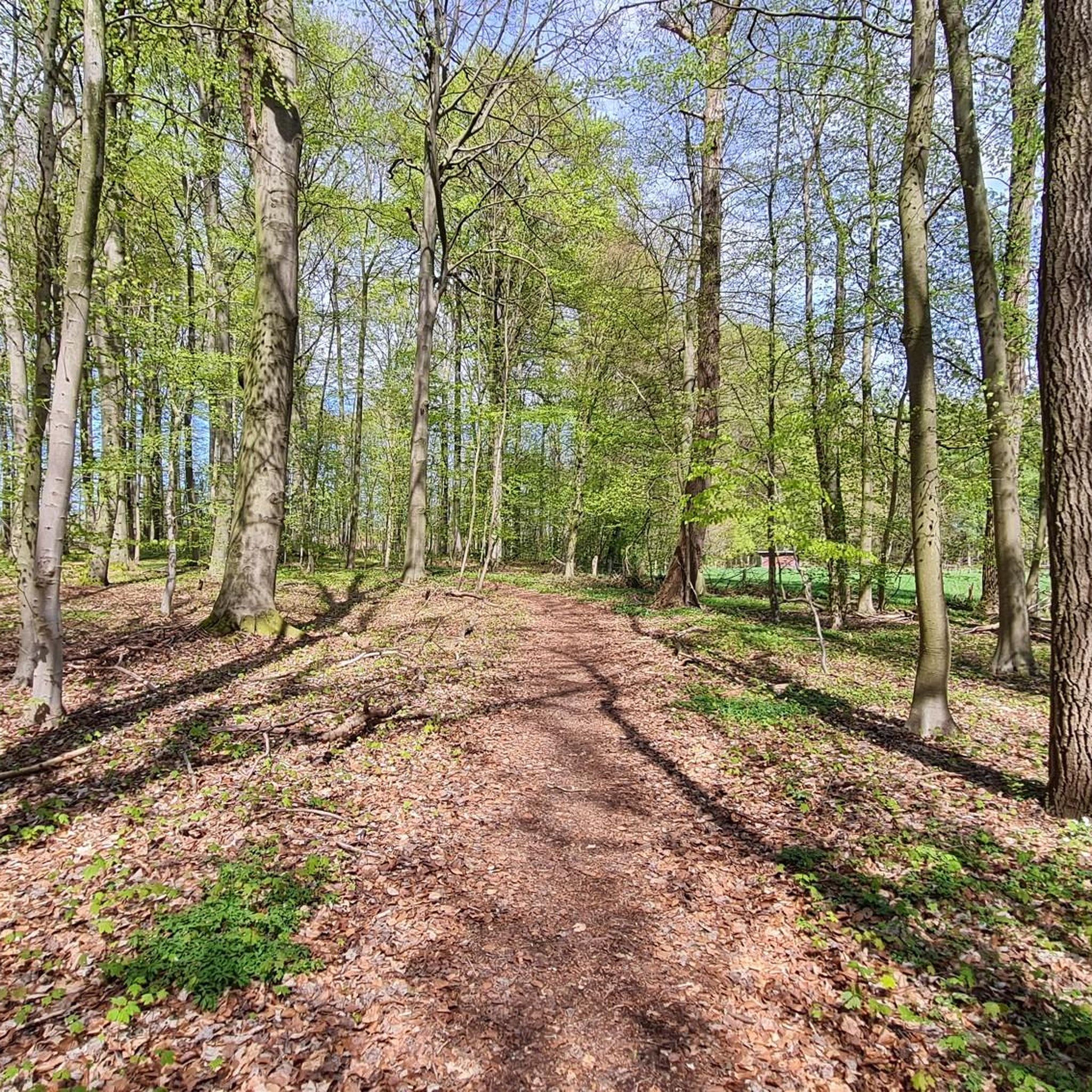
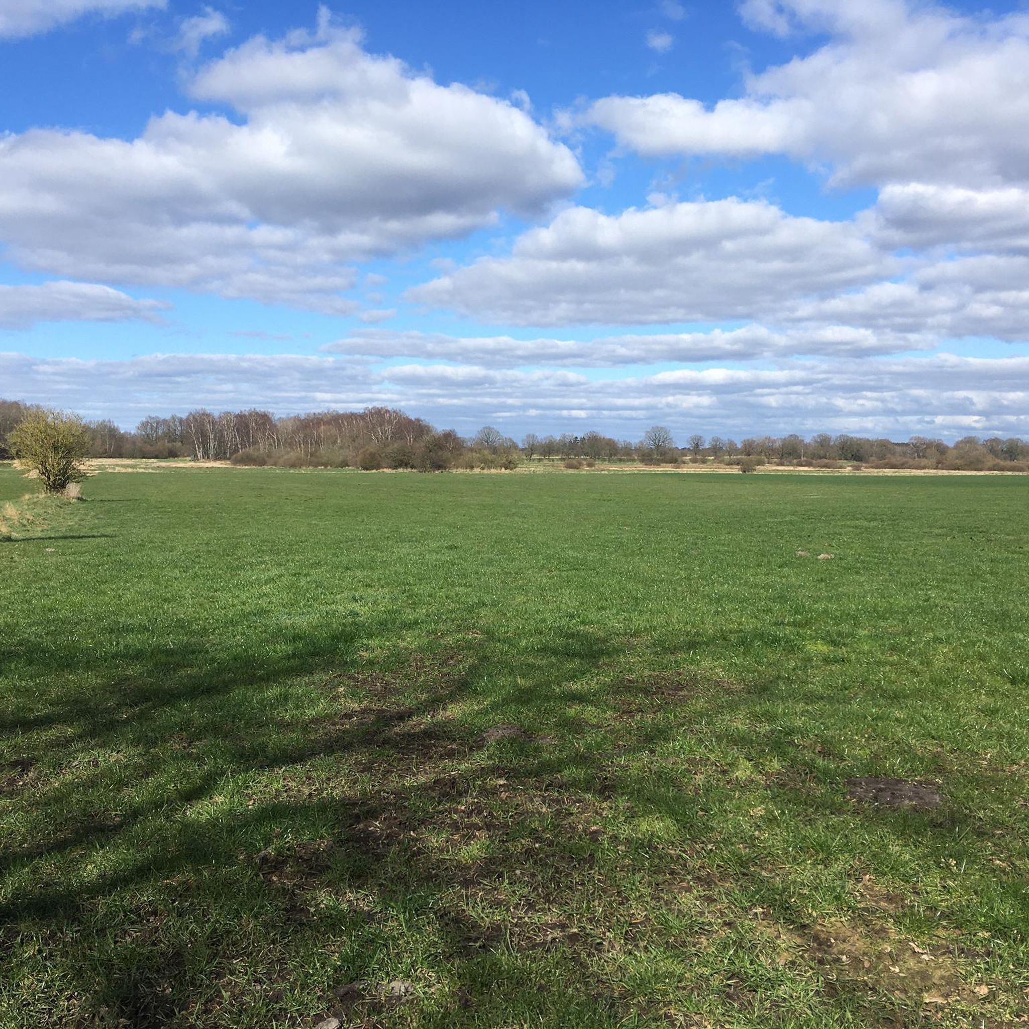
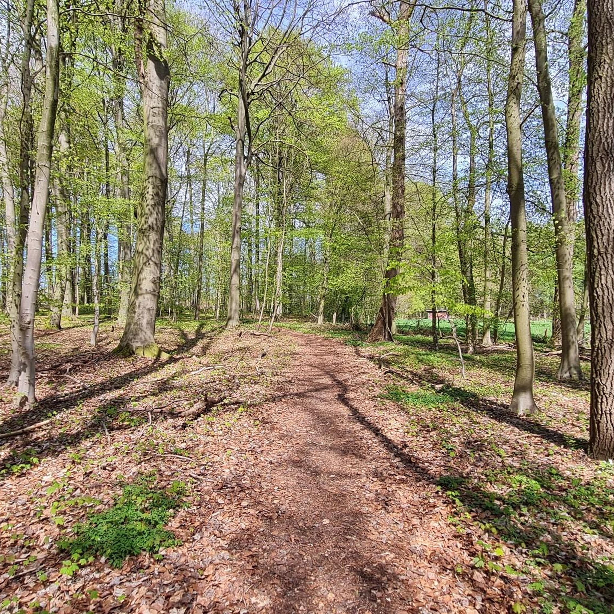
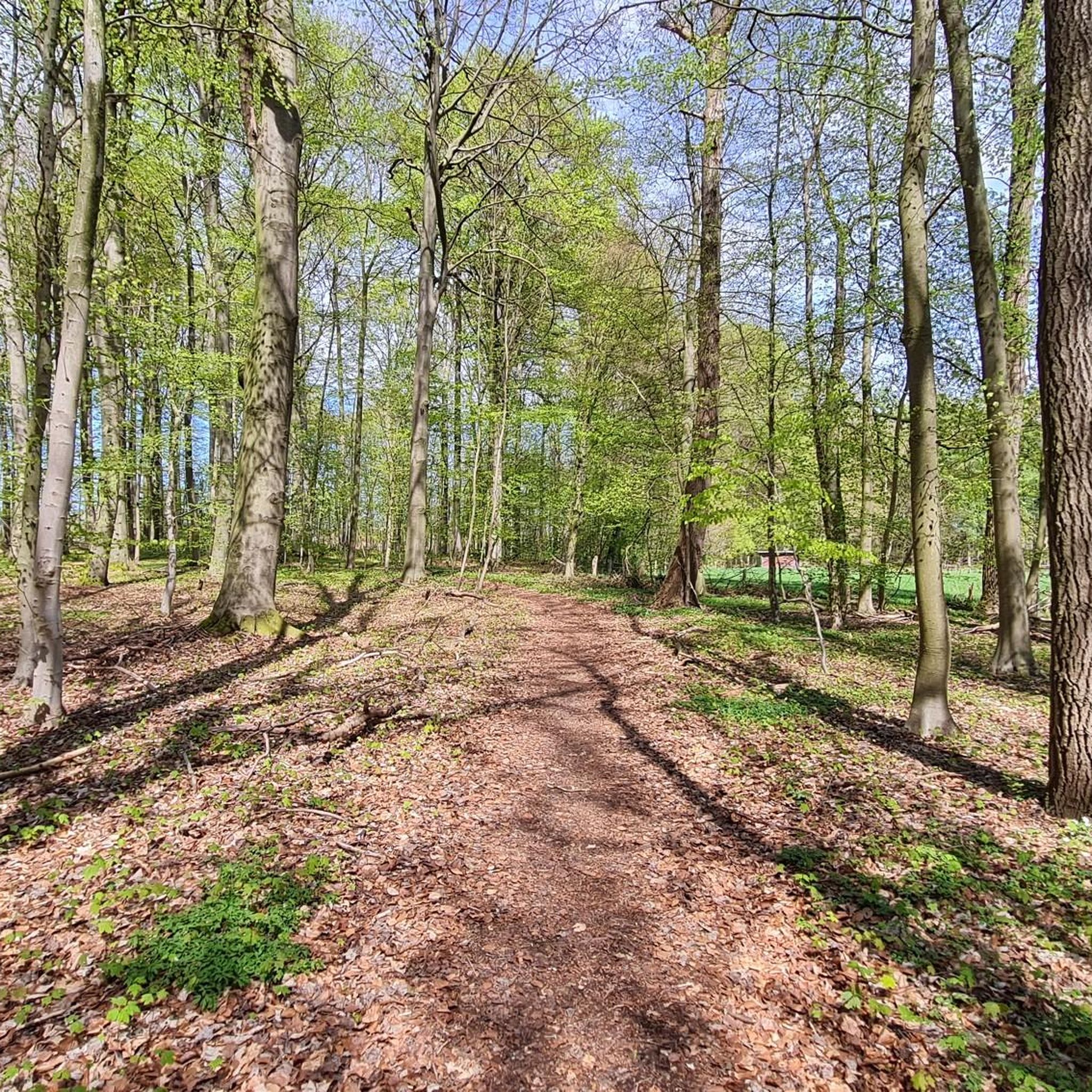
늪 자체를 통과하는 방법은 기차 자전거 도로를 이용하는 것인데, 이곳은 다소 지루합니다. 또는 그와 평행한 길을 이용하는 방법도 있습니다. 이 길은 부분적으로 다소 거칠지만 늪의 더 많은 것을 보여줍니다. 늪 속 작은 연못 옆을 지나는 또 다른 길이 있습니다. MTB나 그래블용으로 추천합니다…
1
0

The Nienwohlder Moor lies on the watershed between the North Sea and the Baltic Sea.[2] It drains to the west into the Lankau, to the south into the Alte Alster, and to the north into the Norderbeste. The nature reserve, which is managed by the Schleswig-Holstein State Hunting Association with the exception of the areas owned by the State Forestry Administration[5],[6] can be almost completely circumnavigated on hiking trails, along which information boards are posted at several locations. In the west, a hiking trail runs through the protected area in the area of the Lunden, a towering moraine ridge.
0
0
Today, typical raised moor vegetation can once again be found in the nature reserve, including round-leaved sundew, narrow-leaved cottongrass, bladderwort, white beak sedge, sedge cottongrass, cranberry, as well as cross-leaved heather, rosemary, and common heather. The nature reserve also represents an important habitat for birds. Various wading birds such as the curlew and the common snipe, as well as ducks such as the shoveler, teal, tufted duck, and garganey, as well as meadow pipits, whinchats, and stonechats, are native here. Marsh harriers and short-eared owls can also be found here. The undisturbed moorland is a refuge for cranes, which are now breeding here again. Various woodpecker species, red-backed shrikes, and songbirds are native to the wooded moorland areas. The nature reserve also provides a habitat for various amphibians and reptiles, as well as insects such as dragonflies and butterflies.
0
0
The moor was renaturalized in the 1980s through rewetting measures.[2][3] Today, in the area of former industrial use, it is an open raised bog with numerous water-filled peat pits, surrounded by a bog forest. The farmer's hand-cut peat pits at the edge of the moor are often water-filled. Sphagnum moss quaking grassland grows here, and the peat pits are slowly silting up. Further areas are occupied by grassland and forest. Some of the grassland is extensively grazed by robust cattle.[4] Some areas are still intensively used for agriculture, including one arable area.
0
0
Peat extraction, first documented in 1804, was initially carried out by peat-cutting by peat-farmers, and the peat was used as fuel. During the Napoleonic Wars of 1806–1813, peat was also shipped to Hamburg via the Alster. In the 20th century, peat extraction became an industrial operation. From 1951 to 1976, the white peat was extracted from an area of 84 hectares, initially by hand and later by machine.[2] East of Nahe, there was a peat loading point on the Elmshorn-Barmstedt-Oldesloe railway.
0
0
The nature reserve is located northeast of Hamburg between the towns of Nienwohld, Nahe, Itzstedt, and Sülfeld. It protects a drained and largely peat-extracted raised bog area, which is the largest and best-preserved raised bog remnant in Schleswig-Holstein.[2] To the north, it borders the former Elmshorn-Barmstedt-Oldesloe Railway line.
0
0
The approximately 398-hectare nature reserve is registered under number 100 in the register of nature reserves of the Ministry of Agriculture, Environment and Rural Areas. It was designated in 1982 (date of the regulation: March 25, 1982). The nature reserve replaces the nature reserve of the same name designated in 1980.[1] It is part of the FFH area "Alster system to Itzstedter See and Nienwohlder Moor" and the EU bird sanctuary "Alsterniederung". To the south, it borders the "Nienwohld" landscape protection area. The responsible lower nature conservation authorities are the districts of Stormarn and Segeberg.
0
0
세스 주변에서 가장 인기 있는 명소


더 살펴보기
세스 주변의 최고의 동굴을 찾기 위해 이 가이드를 확인해보세요:
