경로

플래너

기능

업데이트

App

로그인 또는 가입

앱 다운로드

로그인 또는 가입

경로
Places to see
Natural Monuments
독일
슐레스비히-홀슈타인
세게베르그

위튼본

위튼본‬에서 가장 멋진 ‪20‬개의 천연기념물


천연기념물을 방문하여 위튼본의 아름다운 풍경을 만나보세요. 위튼본에 있는 20
개의 천연기념물과 상세 정보를 살펴본 후에 방문하고 싶은 천연기념물을 다음 모험 계획에 추가해보세요!

마지막 업데이트: 7월 21, 2026

바트 제게베르크의 칼크베르크

하이라이트 • 자연 기념물

Is worth a visit!
The view in good weather is fantastic.
And it is the only rock mountain in the big circle! The next one should be in the Harz …

번역자 Google •

에 의해

하이킹 보기

휴대폰으로 전송

저장

일제 호수

하이라이트 • 호수

Ihlseeblick

번역자 Google •

에 의해

저장

이런 장소를 발견하려면 지금 가입하세요

최고의 싱글 트랙, 봉우리 및 다양한 흥미로운 야외 장소에 대한 추천을 받아보세요.

무료 회원 가입

비텐보르너 하이데 자연보호구역

하이라이트 • 자연 기념물

The "Wittenborner Heide" in the district of Segeberg with 294 hectares will be protected in the future. Environment Minister Robert Habeck signed a corresponding ordinance, as the ministry announced on …

번역자 Google •

에 의해

저장

타르베커 습지

하이라이트 • 자연

True, but please Tarbeker Moor, Tarbek only with "k". Very nice there, also for dragonfly fans. And there you can ride!

번역자 Google •

에 의해

저장

이흘발트 자연보호구역

하이라이트 • 숲

The Ihlwald is mainly a deciduous forest and therefore offers very good protection against extreme heat and light rain.

번역자 Google •

에 의해

저장

무료로 가입하여 위튼본 주변의 더 많은 자연 기념물을 발견하세요.

무료 회원 가입

이미 komoot 계정이 있나요?

오늘 무료 계정으로 시작하세요

다음 모험이 기다리고 있어요.
로그인 또는 가입하기

위튼본 주변 인기 장소

위튼본 하이킹

위튼본 사이클링

위튼본 로드 사이클링 경로

위튼본 러닝 트레일

위튼본 MTB 트레일

위튼본 주변 그래블 라이딩

커뮤니티 팁

Dieter
6월 18, 2026, Wittenborner Heide Nature Reserve

자연 그대로의 아름다운 지역입니다.

번역: Google

0

0

JR56
12월 16, 2024, Tarbeker Moor

As part of the Holstein Switzerland Nature Park, the Tarbek Moor with its special charm is a popular excursion destination that gives you a variety of impressions. With its diverse composition of ponds and vegetation-free peat banks, it offers undisturbed insights into a mysterious-looking habitat. A moor birch forest borders dark ponds surrounded by snakeroot, dead birch trees in water-filled peat pits rise picturesquely into the sky and fields of waving cotton grass are reminiscent of images from Nordic legends. In the 131-hectare area, which was previously used as a peat extraction area, remnants of this use can still be seen today and carefree cycling and hiking from the Tarbek Moor to the Ihlsee in Bad Segeberg is possible both along former routes that have been preserved to this day and along the railway embankment that connected Bad Segeberg, Bornhöved and Kiel until 1960. https://www.blunkerbach-sh.de/tarbeker-moor

번역: Google

3

0

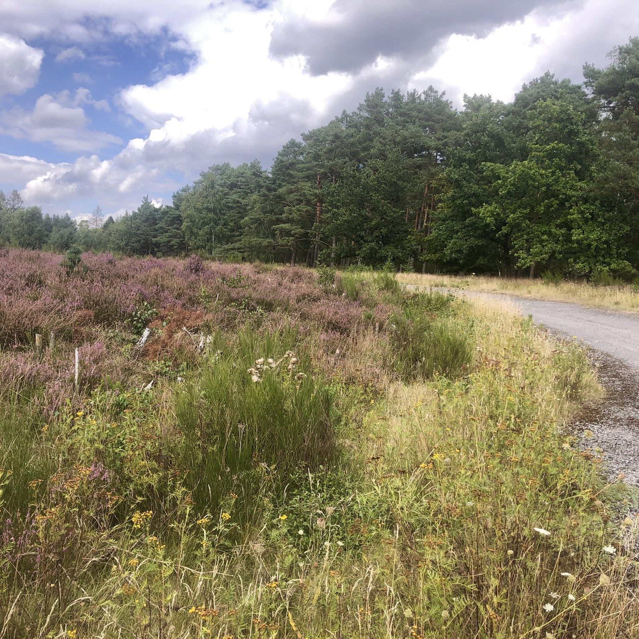
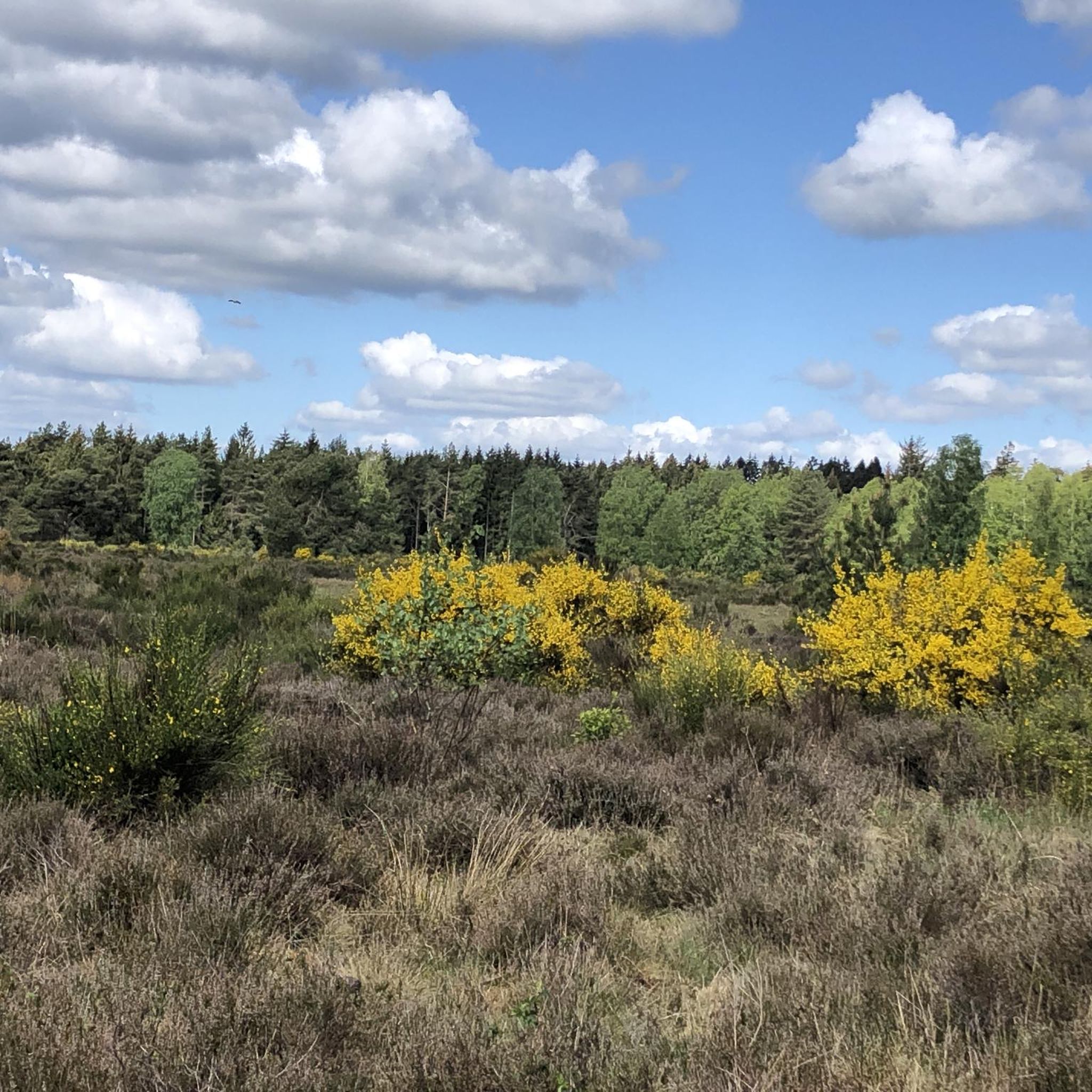
The Wittenborner Heide nature reserve remained nutrient-poor and unfertilized due to its previous use as a military training area. This resulted in a diverse landscape of heathland, moors and sparse forests that provide a habitat for many species. You can hike through a very beautiful landscape that is always worth a visit.

번역: Google

3

0

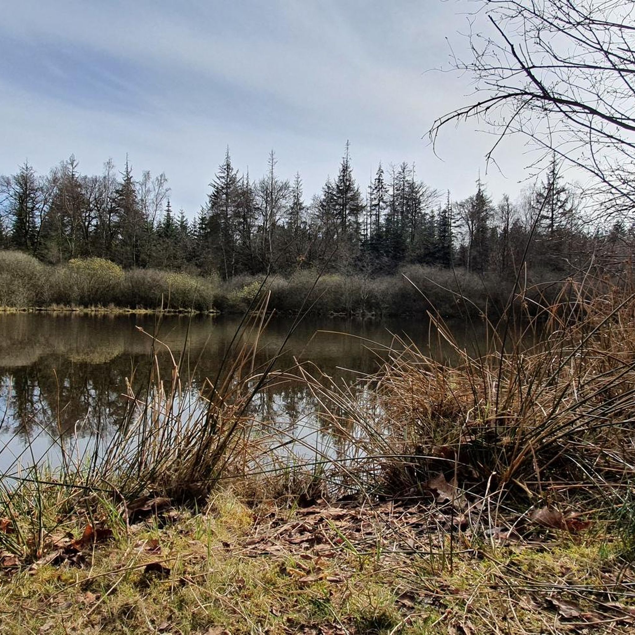
The 28 hectare Ihlsee is located on the northern outskirts of Bad Segeberg and is a very special body of water: Unlike most lakes in Schleswig-Holstein, the Ihlsee is low in nutrients and lime and is therefore the habitat of extremely rare plant species in this country. Typical are the lawns of European sea larkspur, which grows from temporarily dry shore areas to a depth of around 2 m. In addition, sea quillwort and water lobelia grow in the shallow water zones, pushing their pale blue or white flowers above the water surface in summer. The Ihlsee is the last body of water in Schleswig-Holstein where the water lobelia and the shimmering luminous algae, which occur at greater water depths, occur. In total, at least 11 species of submerged leaf plants live in the Ihlsee, some of which are highly endangered. Aquatic plants can be found here as deep as 9 m. The clear water of the lake makes this possible, as sunlight can penetrate to these depths. Due to the comparatively low nitrogen and phosphorus content of the lake water, plant and animal plankton, which cloud the water in many other lakes, develop only sparsely. The Ihlwald forest, which borders the southern shore of the lake, is also part of the 42-hectare nature reserve, which is managed voluntarily by NABU Bad Segeberg. The wild Ihlwald forest can be admired from a hiking trail. The shore is quite overgrown, so unfortunately you can't see much of the lake, but it is still a beautiful path through the nature reserve. Due to the damp site conditions, a large part of the area consists of black alder swamp forests with downy birch and peat mosses, as well as ash wet forests in which stately pedunculate oaks grow. https://www.naturpark-holsteinische-schweiz.de/naturschutzgebiet-ihlsee-und-ihlwald

번역: Google

2

0

JR56
7월 23, 2024, Ihlsee

The Ihlsee is located in the northwestern part of the district town of Bad Segeberg on the northern edge of the Kleinniendorf district and is part of the designated Ihlsee and Ihlwald nature reserve. The origin of the lake has not been fully investigated. Either the depression was formed after the Ice Age due to dead ice or it was created as a sinkhole by the collapse of a cave in the Segeberg salt dome. Today the lake has an area of around 29 hectares and stretches 450 m from north to south and around 850 m from west to east; the shore is 2.25 km long. Along with the Bültsee and the Garrensee, the lake is one of the few nutrient-poor lakes in Schleswig-Holstein. The lake is located in a depression and has no inflow. It is fed only by groundwater and inflowing surface water (precipitation). To the north of the bathing area is the outflow that connects the lake to the Great Segeberg Lake. The lake can be walked around, but there is no path along the lake. There is a bathing area on the eastern shore that has existed for decades. The bathing water quality is regularly monitored and in recent years has been rated as very good to good. There is a residential area on the northern shore. On the western and southern sides, the Ihlwald, a swamp forest, dominates the shoreline. From 1911 to 1961, there was a Kiel-Segeberg narrow-gauge railway station at Ihlsee, the tracks of which were removed in 1962. The Ihlsee was declared a nature reserve in 1950 because of its special features. The lake is a particularly nutrient-poor body of water, which gives rise to rare flora. Today, the lake is part of the Ihlsee and Ihlwald nature reserve and has been part of the Natura 2000 protected area network since 2006. https://de.wikipedia.org/wiki/Ihlsee

번역: Google

2

0

Dr. G.
5월 7, 2024, Tarbeker Moor

The Tarbek Moor can be walked around in 1 hour. ... if it didn't offer so many beautiful moments to pause and take a break.

번역: Google

4

0

Ihlwald 하이킹 코스는 반려견 산책로로 매우 인기가 좋습니다.

번역: Google

4

0

The Ihlwald is mainly a deciduous forest and therefore offers very good protection against extreme heat and light rain.

번역: Google

11

0

위튼본 주변에서 가장 인기 있는 경로

위튼본 하이킹

위튼본 주변에서 가장 인기 있는 명소

Places to see

Store rating

komoot 모바일 앱으로 영감을 받아보세요

무료 komoot 계정로 끝없는 야외 모험을 손쉽게 찾고, 맞춤 설정하며 길안내할 수 있어요.

또는

지금 komoot에 가입하세요

Store rating

더 살펴보기

위튼본 주변의 최고의 동굴을 찾기 위해 이 가이드를 확인해보세요:

노르더스테트헨스테트-울츠부르크칼텐키르헨카후데스톡제나헤바켄도르프 II엘러라우알베슬로에뉘첸카텐도르프글라소지베르슈텐슈트루벤휘텐키스도르프윈센담스도르프슈말렌제외르스도르프히드무어휘트블렉네베르스도르프바트 브람스테트달도르프하센무어그로스 니엔도르프노이엔괴르스뷘스도르프바렌호프설펠트보른회베드잇츠스테트잡초토데스펠데렌트푀르덴슈말펠트타르벡바켄도르프 I님스텐스펠드트라벤호르스트졸졸졸트라벤탈베벤제히츠후젠퀴켈스묀클로웨델브룩그로스 쿠머펠트웬신그로세나스페슈비셀하르텐홀름웨스테라데암슈테트비묄렌하이트뮐렌트라펜캄프크렘스 II외링부스테드짖다블렁크네게른뵈텔뫼젠드레거스비머스도르프클라인 론나우그로스 론나우스팁스도르프바트 세게베르그하르데벡샤켄도르프발슈테트화렌크루그라텐도르프하센크루그롤스토프게셴도르프클라인 글라데브뤼게회거스도르프곤네벡프레데스도르프프론스토프쉬렌슈벤본세스슈트룩도르프푀르덴-바를그로저 세게베르거 호수Oberalsterniederung니엔볼더 무어스톡제HasselbuschSegeberger StaatsforstKiebitzholmer Moor Und Trentmoor

근처 어드벤처 가이드

뫼제너 호수 즐길거리

background

새로운 정복을 위한 준비를 하세요

무료로 가입하기

탐험하기
경로경로 플래너기능하이킹MTB 트레일로드 사이클링 경로바이크패킹사이트맵
앱 다운로드
소셜 미디어에서 팔로우하기

© komoot GmbH

개인 정보 보호 정책