알하마에서 가장 멋진 17개의 천연기념물
천연기념물을 방문하여 알하마의 아름다운 풍경을 만나보세요. 알하마에 있는 17
개의 천연기념물과 상세 정보를 살펴본 후에 방문하고 싶은 천연기념물을 다음 모험 계획에 추가해보세요!
마지막 업데이트: 10월 10, 2026

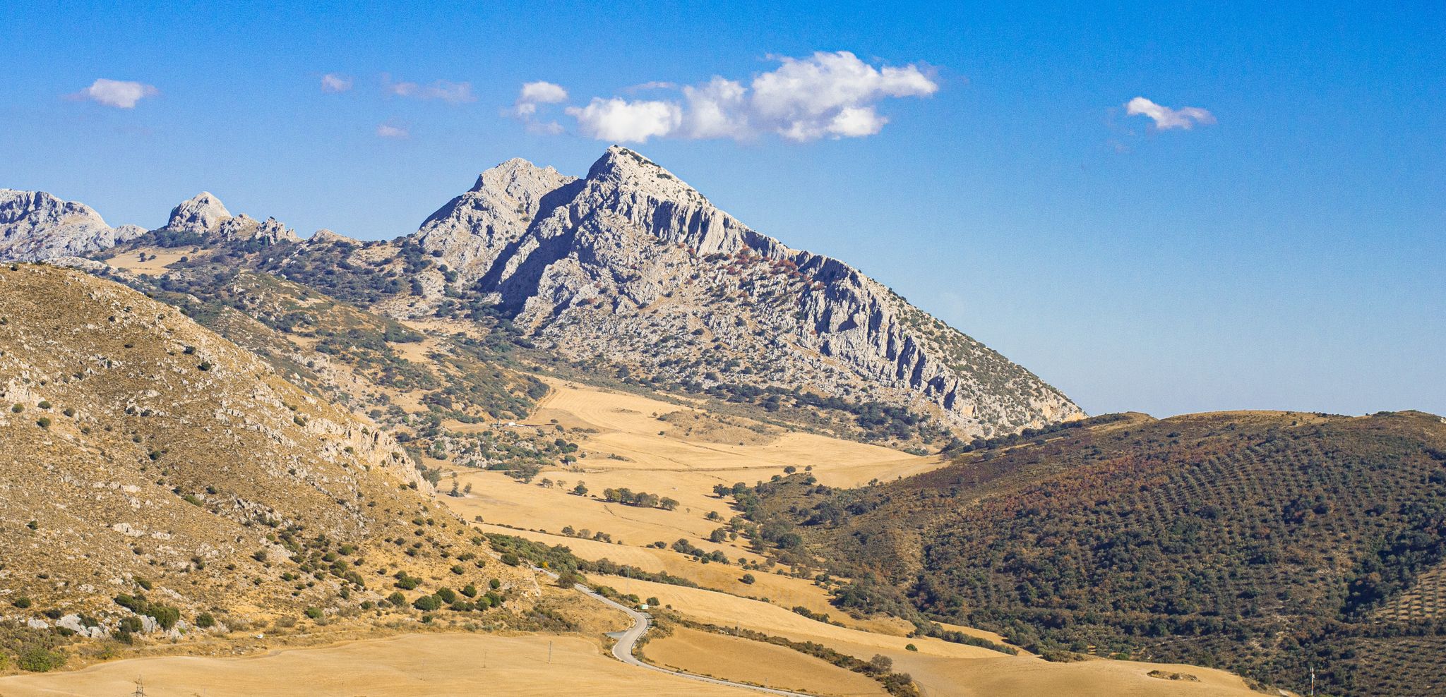
타호스 데 알하마 자연기념물
하이라이트 • 자연 기념물
번역문 보기
팁에 의해

이런 장소를 발견하려면 지금 가입하세요
최고의 싱글 트랙, 봉우리 및 다양한 흥미로운 야외 장소에 대한 추천을 받아보세요.

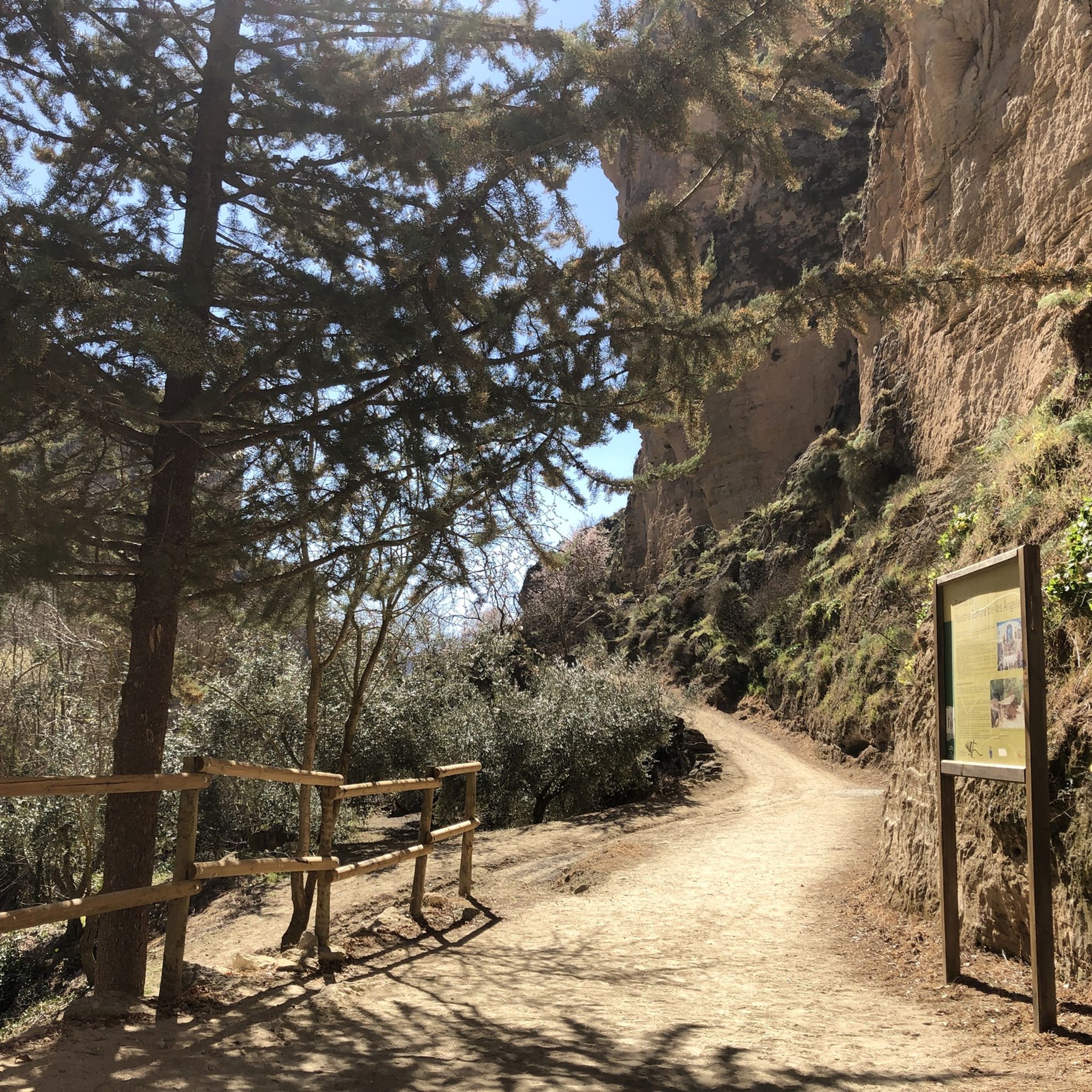
카르카바스 데 라 말라하
하이라이트 (구간) • 협곡
번역자 Google •
팁에 의해

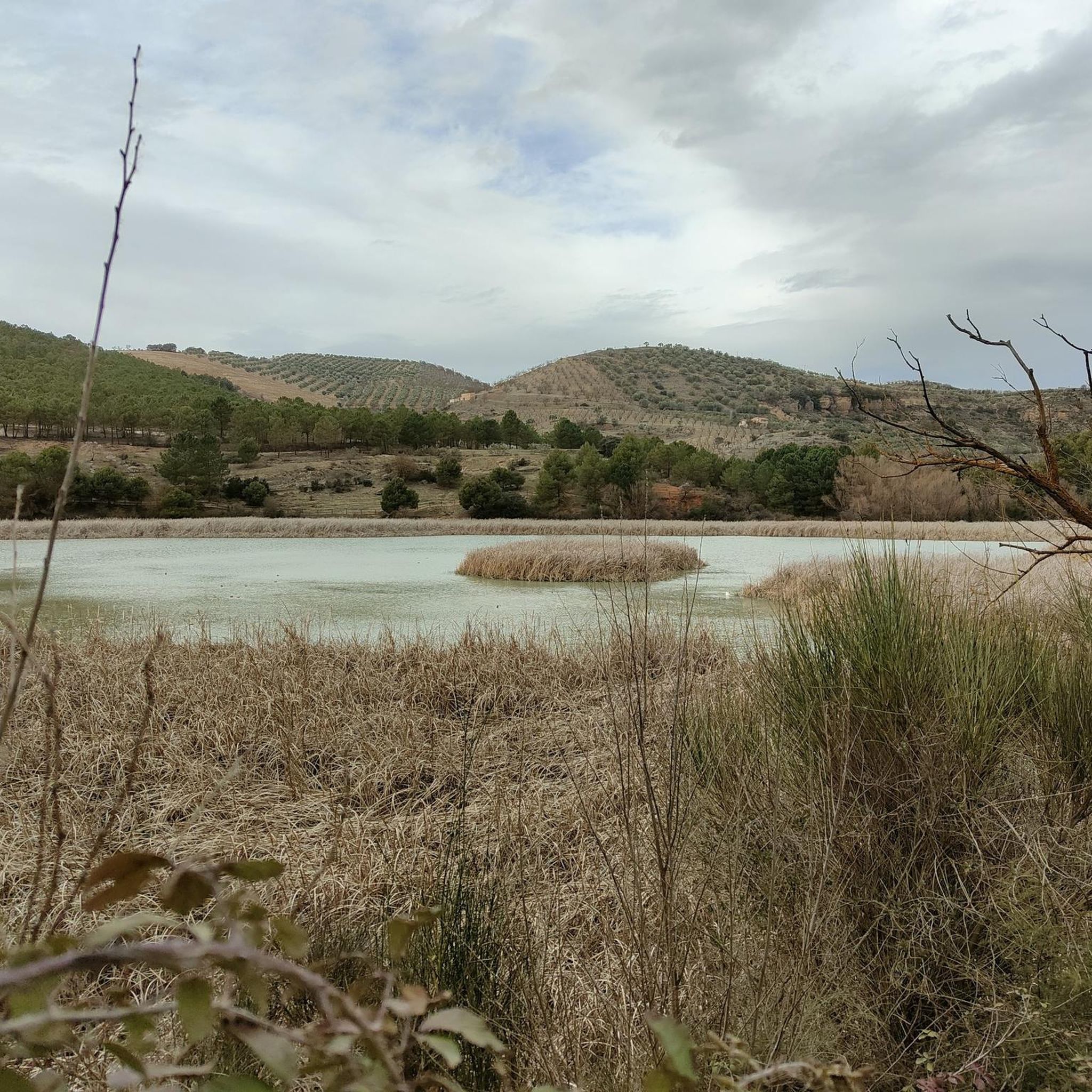
판타네타 데 알하마
하이라이트 • 호수
번역자 Google •
팁에 의해

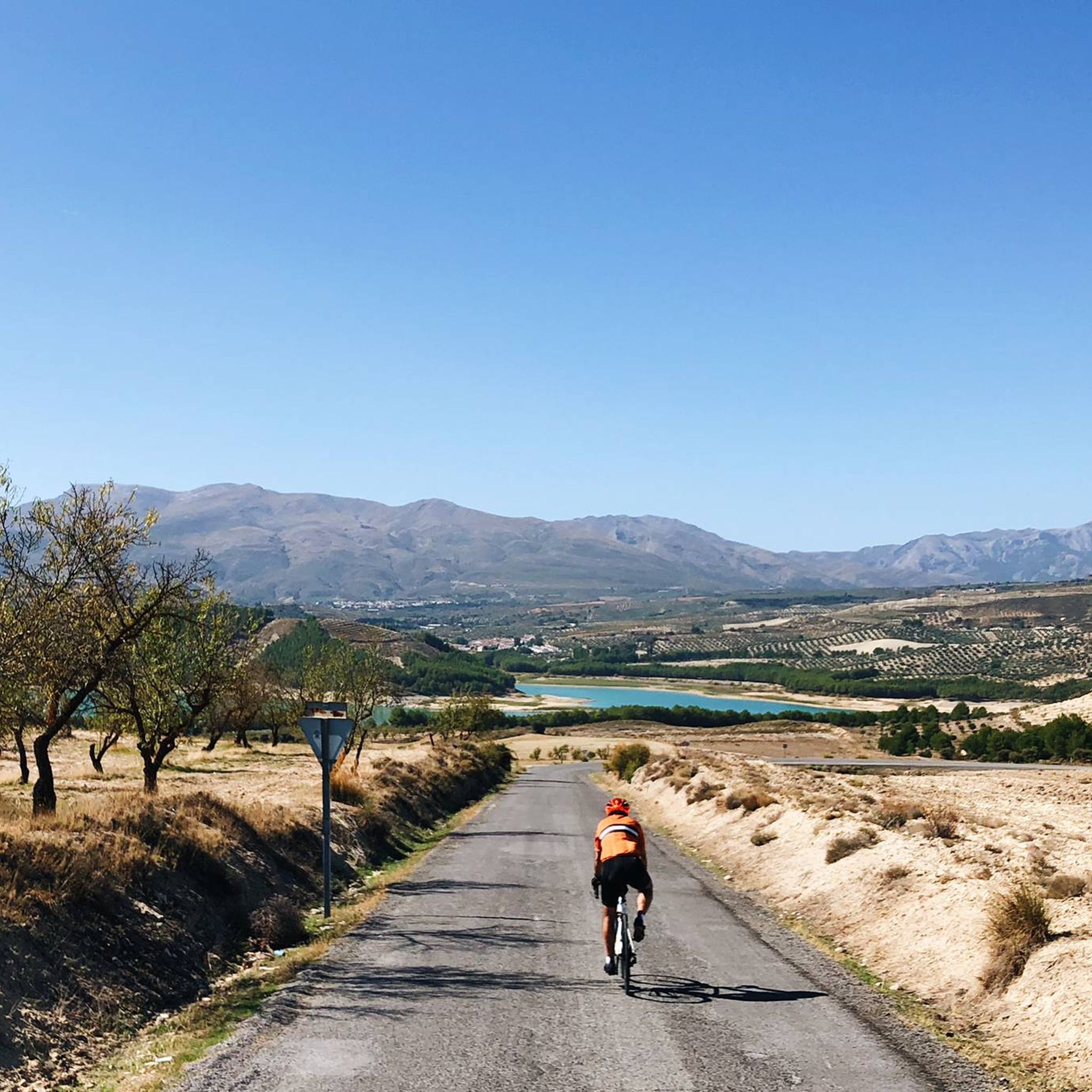
로스 베르메할레스 저수지 전망
하이라이트 (구간) • 호수
번역자 Google •
팁에 의해

알하마 데 그라나다 협곡
하이라이트 • 협곡
번역자 Google •
팁에 의해

세로 루세로 (1,779m)
하이라이트 • 정상
번역자 Google •
팁에 의해

미라도르 데 라 코로나 데 라 아사르키아
하이라이트 • 전망대
번역자 Google •
팁에 의해

Sendero Raspón de Mariscos
하이라이트 • 트레일
번역자 Google •
팁에 의해

무료로 가입하여 알하마 주변의 더 많은 자연 기념물을 발견하세요.
이미 komoot 계정이 있나요?







커뮤니티 팁


My favorite peak in the Sierra de Almijara, I love it 😍🎈
0
0


The lake of Los Bermejales, or Embalse de Los Bermejales, is known for its beautiful blue waters. The clear color of the water is mainly due to the bright sun and the relatively good water quality. The lake is surrounded by the Sierras Tejeda y Almijar, which creates a beautiful landscape, especially at sunrise and sunset.
1
0
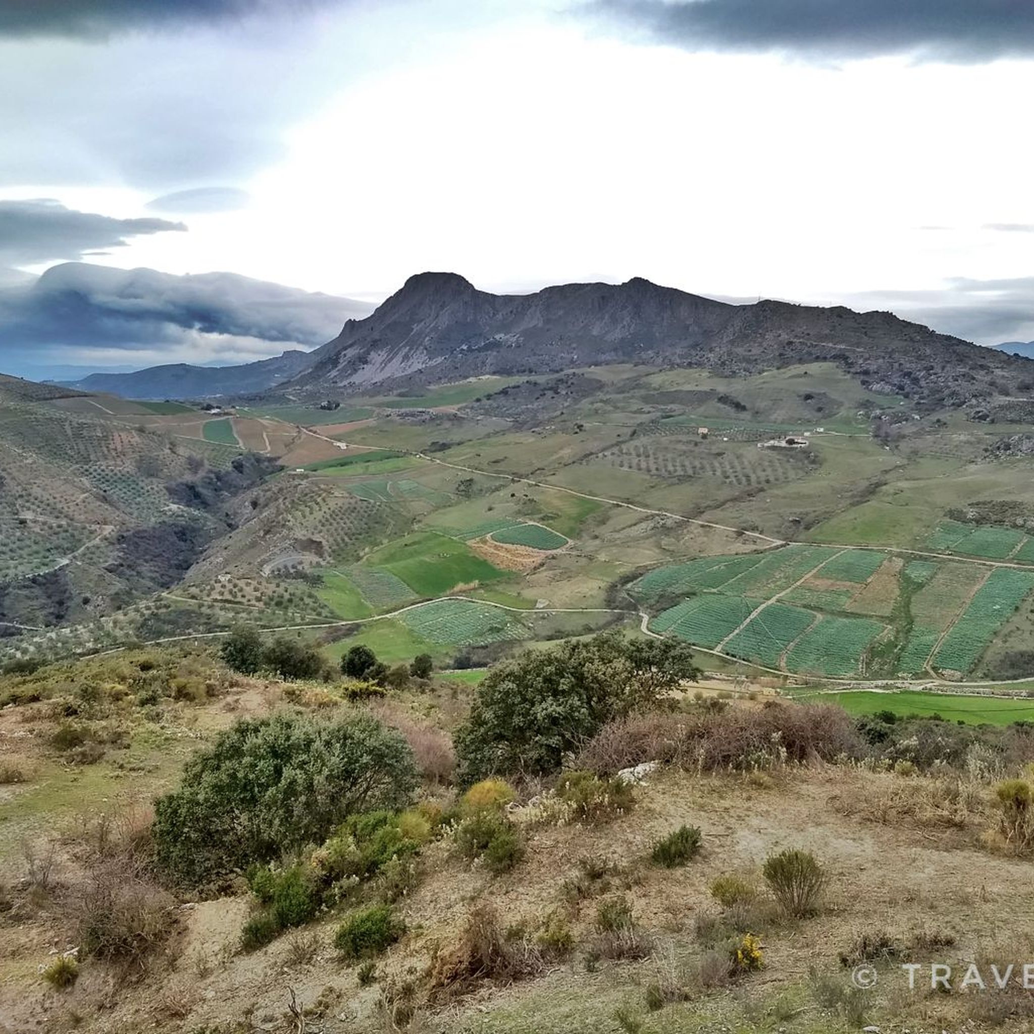
The Zafarraya polje is a closed depression with a flat bottom, surrounded by limestone mountains that are strongly karstified. The waters of the polje are absorbed by several ponors (sinkholes), and during heavy rainfall the polje can be temporarily flooded. This makes it an interesting example of karst landscape and geological processes.
8
3

To reach the parking lot at Llanadas de Sedella requires a vehicle with 4-wheel drive like a Land Rover Defender. There are gates that might be closed so you must check with the park authorities beforehand - not much space to turn the vehicle around on this narrow road. Once there the view is stunning with horses grazing around. But be cautious! The recommended track we took to reach the top are for expert hikers. Some parts are very steep (>35%) with loose stones. If you suffer from vertigo, avoid! You need support by both hands at time. It’s not an official track but rather a path used by sheep, whose poo indicate that you are on the right track. (There is a northern track that serpentines its way up that might be more convenient). But once you are on the white-green path originating from the Fuentes del Robledal it’s ok. You are exposed to strong winds and no shelter from the sun. Bring lot’s of water and calculate 6hrs return hike. Once you have reached the top of la Maroma you will have a fantastic view over Andalucia with the Sierra Nevada at your back and Gibraltar in front.
2
2

The Pantaneta de Alhama is included in the Andalusian inventory of wetlands. It is the habitat of many birds, some of them threatened, so walking around here allows you to observe one of the richest ecosystems in the province of Granada.
3
1

알하마 주변에서 가장 인기 있는 명소


찾고 계신 것을 찾지 못하셨나요?
지역별 최고의 하이라이트를 확인하여 알하마 주변의 더 놀라운 자연 기념물을 찾아보세요:
